Agden Hill

Hill, Mountain in Huntingdonshire Huntingdonshire

England

Agden Hill

Kimbolton Road, Stonely
Kimbolton Road, Stonely Credit: David Howard

The requested URL returned error: 429 Too Many Requests

If you have any feedback on the listing, please let us know in the comments section below.
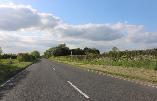
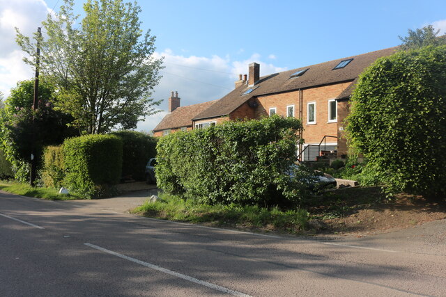
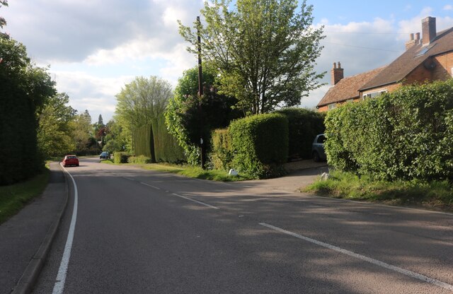
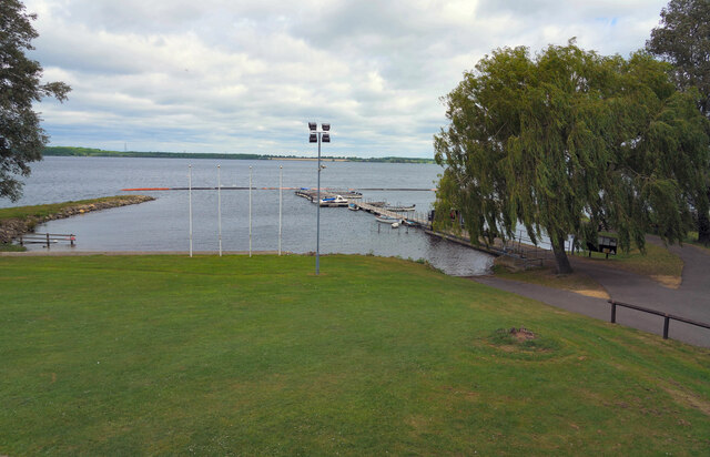
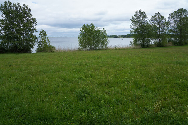
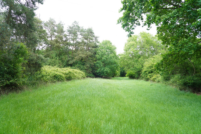
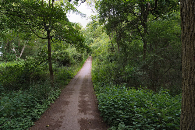
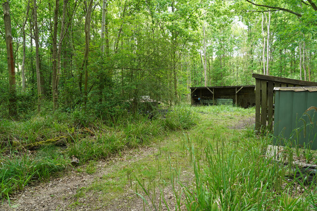
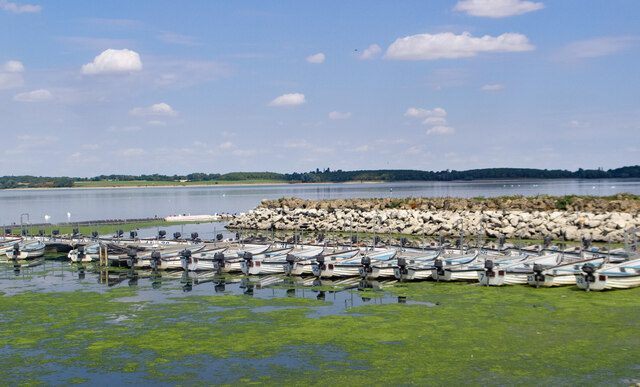
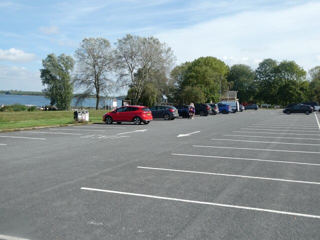
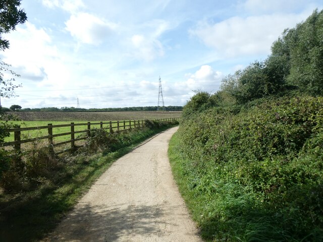
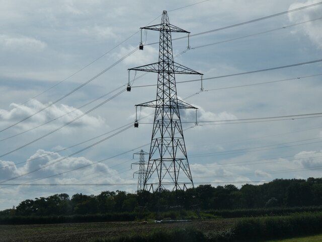
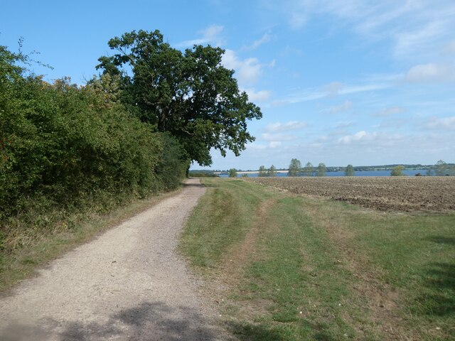
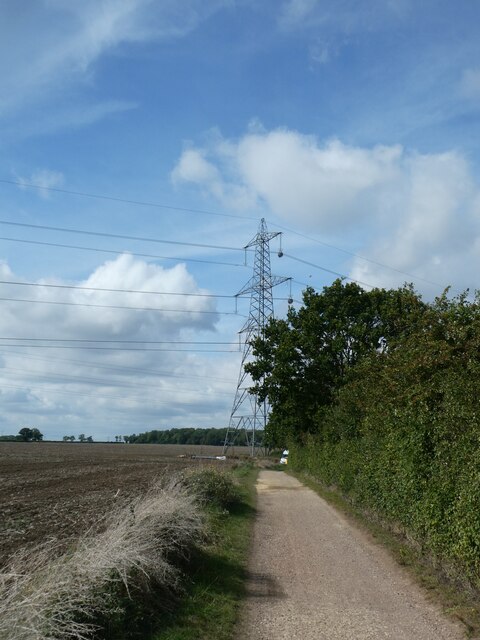
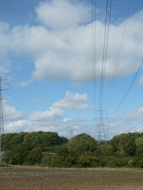
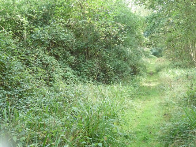
Agden Hill Images

Images are sourced within 2km of 52.29105/-0.35147635 or Grid Reference TL1267. Thanks to Geograph Open Source API. All images are credited.

Kimbolton Road, Stonely
Houses on Main Road, Stonely
Main Road, Stonely
Main Road, Stonely
Grafham Water A view across Grafham Water from a position to the right of the cafe. Next to the jetty are a series of rowing and powered boats for the use of fishermen.
Grafham Water
A view across Grafham Water from a position to the right of the cafe. Next to the jetty are a series of rowing and powered boats for the use of fishermen.
A woodland path One of the varied paths and or cycle tracks that are to be found around Grafham Water.
A woodland path
One of the varied paths and or cycle tracks that are to be found around Grafham Water.
Grafham Water Looking back across an area of grass towards the visitor centre and car park, which cannot be seen as they are hidden by the sparse trees and bushes.
Grafham Water
Looking back across an area of grass towards the visitor centre and car park, which cannot be seen as they are hidden by the sparse trees and bushes.
A woodland ride This may be a fire break or a woodland ride, but either way it does eventually lead to one of the many bird hides at this end of the reservoir.
A woodland ride
This may be a fire break or a woodland ride, but either way it does eventually lead to one of the many bird hides at this end of the reservoir.
Reeds in front of the hide The reed bed had a number of Dragon flies flitting back and forth but there were very few birds to be seen.
Reeds in front of the hide
The reed bed had a number of Dragon flies flitting back and forth but there were very few birds to be seen.
The cycle track aounf Grafham Water There were very few cyclists riding along the path / track which made for easier walking.
The cycle track aounf Grafham Water
There were very few cyclists riding along the path / track which made for easier walking.
Charcoal burners' huts We were surprised when we came across these huts which had two or three charcoal burning steel drums and lids. None of them was active as we walked by.
Charcoal burners' huts
We were surprised when we came across these huts which had two or three charcoal burning steel drums and lids. None of them was active as we walked by.
Grafham Water : fishing boats for hire
Car park by Grafham Water, Perry
Cycle route by woodland on bank of Grafham Water
Replacing electricity cables west of Perry The pylon has temporary pulleys for the new cables, which were being slowly pulled into place.  Health and safety regulations meant that workers were placed to warn passers-by of the overhead work.  According to the senior member of the team, this procedure has an extremely good safety record: "I have never heard of an accident happening"
Replacing electricity cables west of Perry
The pylon has temporary pulleys for the new cables, which were being slowly pulled into place. Health and safety regulations meant that workers were placed to warn passers-by of the overhead work. According to the senior member of the team, this procedure has an extremely good safety record: "I have never heard of an accident happening"
Cycle route in south-west corner of Grafham Water
Cycle route near Grafham Water and electricity pylon The pylon has temporary pulleys for new cables, which were being slowly pulled into place. See note at <a href="https://www.geograph.org.uk/photo/7649819">TL1366 : Replacing electricity cables west of Perry</a>
Cycle route near Grafham Water and electricity pylon
The pylon has temporary pulleys for new cables, which were being slowly pulled into place. See note at TL1366 : Replacing electricity cables west of Perry
Replacing electricity cables near Grafham Water See note at <a href="https://www.geograph.org.uk/photo/7649819">TL1366 : Replacing electricity cables west of Perry</a>
Replacing electricity cables near Grafham Water
Path into nature reserve, Littless Wood, Grafham Water
Show me another place!

Agden Hill is located at Grid Ref: TL1267 (Lat: 52.29105, Lng: -0.35147635)

Administrative County: Cambridgeshire

District: Huntingdonshire

Police Authority: Cambridgeshire

What 3 Words

///managers.divisions.tint. Near Kimbolton, Cambridgeshire

Related Wikis

Stonely Priory

Stonely Priory was an Augustinian priory in Cambridgeshire, England. It was dissolved in 1536. == History == A tradition recorded by Leland hold that the...

Perry Woods

Perry Woods is a 67.9-hectare (168-acre) biological Site of Special Scientific Interest south-east of Kimbolton in Cambridgeshire. It is composed of three...

Stonely

Stonely is a hamlet next to Kimbolton in Cambridgeshire, England. It is part of the parish of Kimbolton and Stonely. The hamlet was formerly the site...

Kimbolton, Cambridgeshire

Kimbolton is a town and civil parish in the Huntingdonshire district of Cambridgeshire, England. Kimbolton is about 9 miles (14 km) west of Huntingdon...

Nearby Amenities

Located within 500m of 52.29105,-0.35147635
Agden Hill Farm Bed & Breakfast
Created By: Potlatch 0.4c
Tourism: guest_house
Lat/Long: 52.2872597/-0.3493779
Power: pole
Lat/Long: 52.2909547/-0.3571736
Power: pole
Lat/Long: 52.2909872/-0.354169
Power: pole
Lat/Long: 52.2909675/-0.3555852
Power: pole
Lat/Long: 52.2909084/-0.3587615
Power: pole
Lat/Long: 52.2910346/-0.3526047
Power: pole
Lat/Long: 52.2909476/-0.3457957
Power: pole
Lat/Long: 52.2908377/-0.3443178
Power: pole
Lat/Long: 52.2910199/-0.3508678
Power: pole
Lat/Long: 52.2909691/-0.347617
Man Made: survey_point
Source: observed on walk
Lat/Long: 52.2910674/-0.3514975
The data included in this document is from www.openstreetmap.org. The data is made available under ODbL.

Have you been to Agden Hill?

Leave your review of Agden Hill below (or comments, questions and feedback).