Wicks Spring
Wood, Forest in Hertfordshire North Hertfordshire
England
Wicks Spring
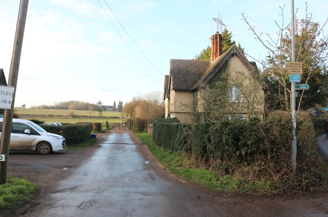
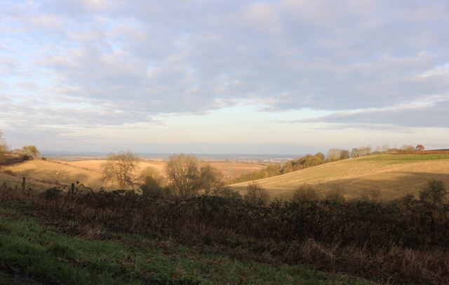
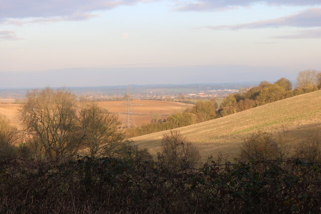
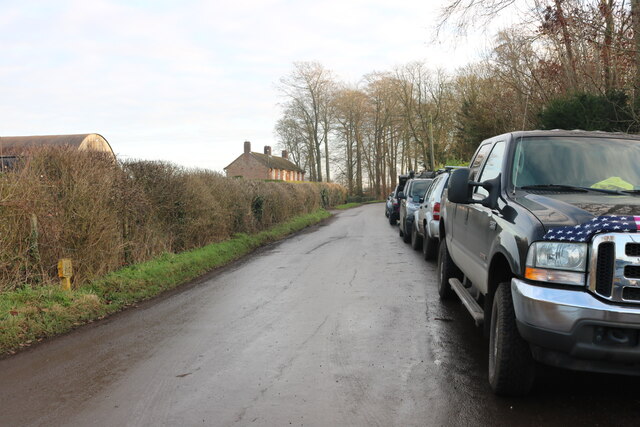
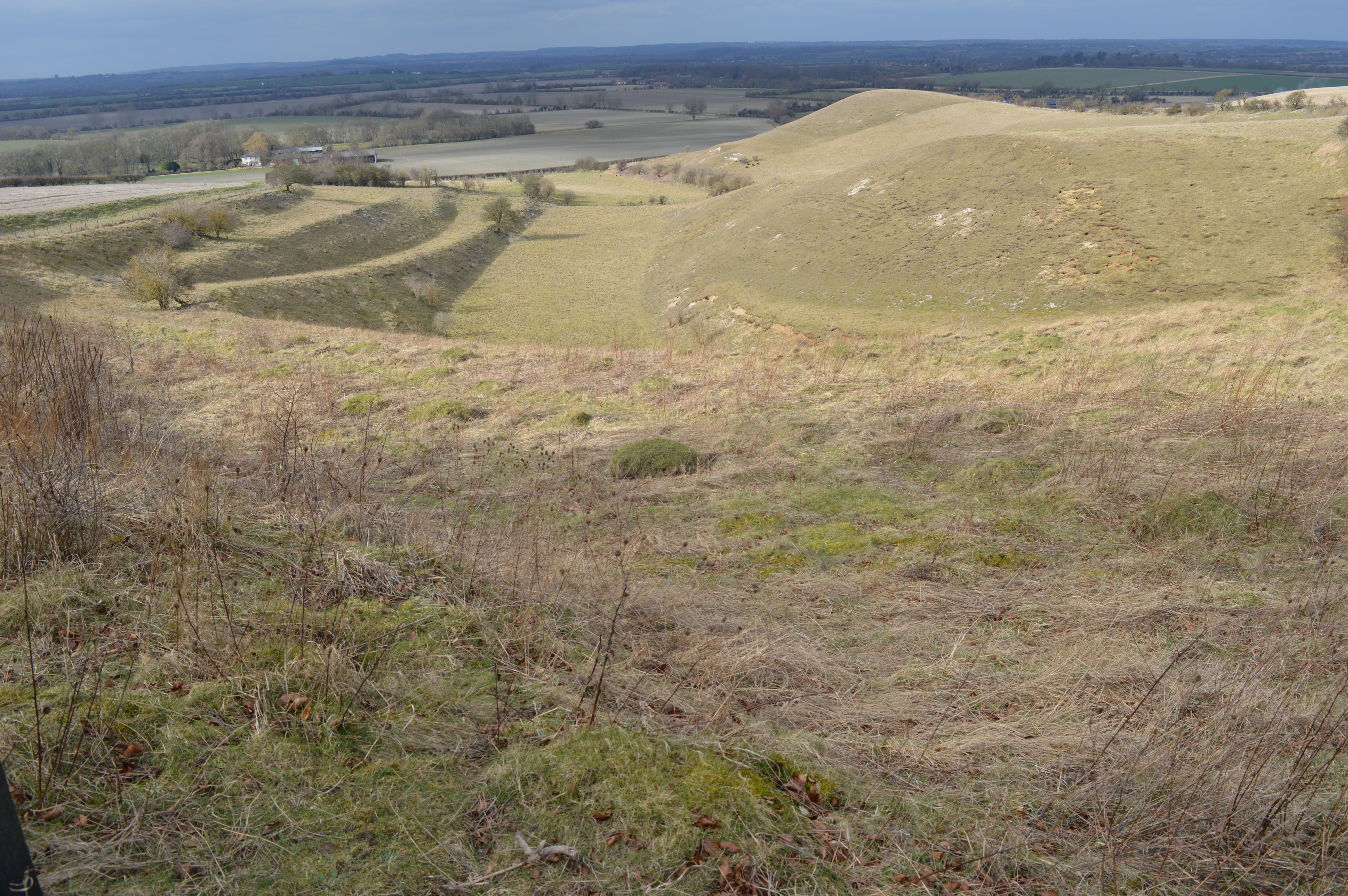
Wicks Spring is a serene woodland located in Hertfordshire, England. Nestled in the heart of the county, this enchanting forest offers a tranquil escape from the hustle and bustle of everyday life. Covering an area of approximately 50 acres, Wicks Spring is a haven for nature lovers, hikers, and wildlife enthusiasts.
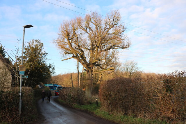
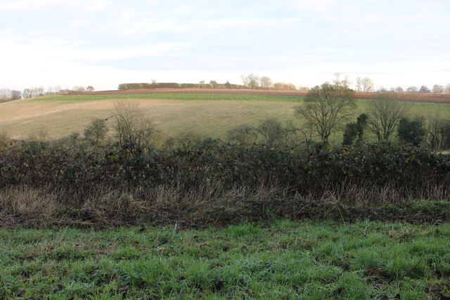
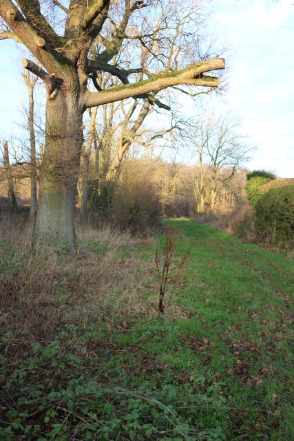
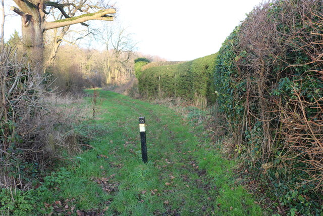
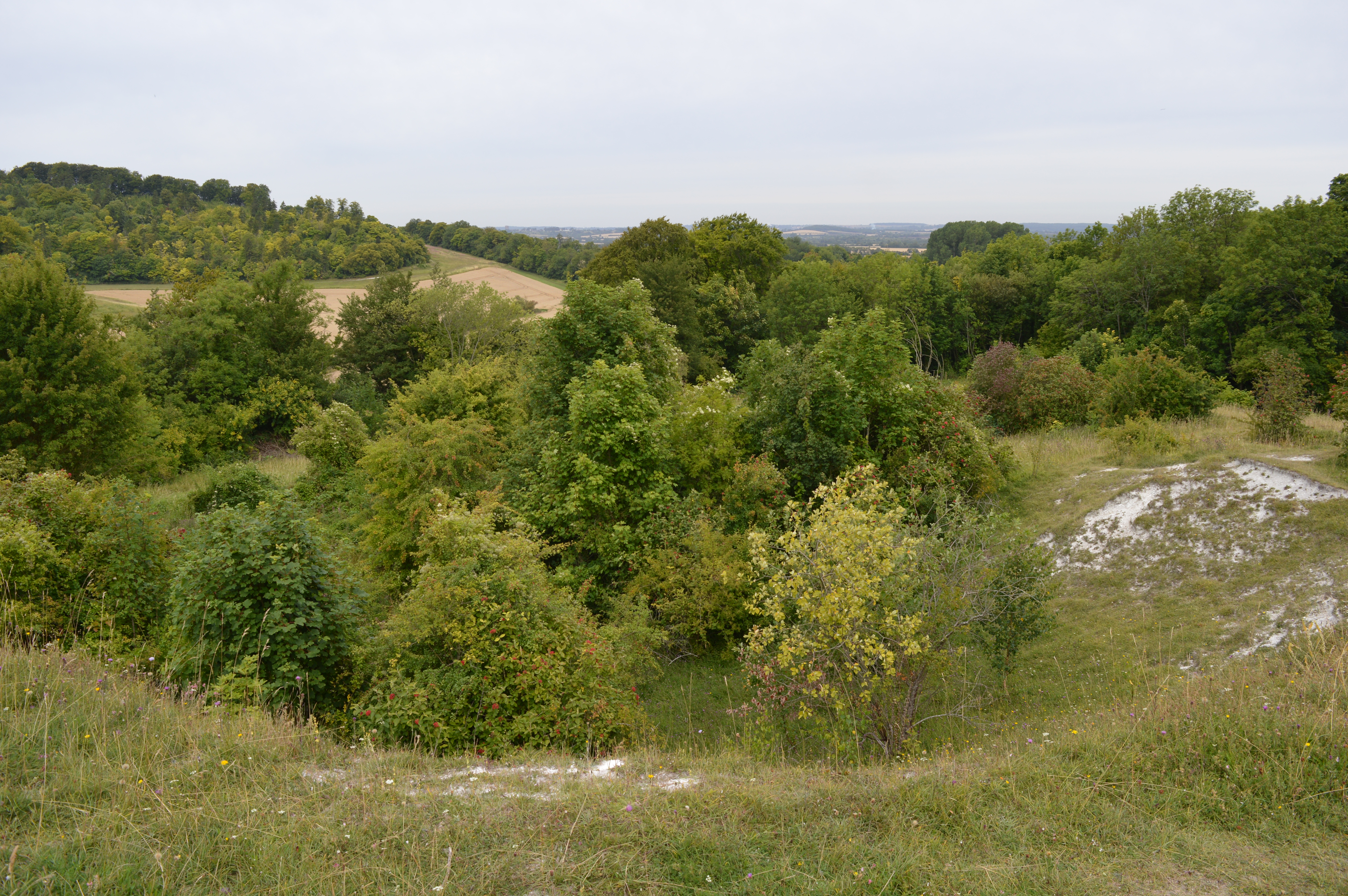
The woodland is characterized by its dense canopy, composed of a variety of tree species such as oak, beech, and ash. The tall, majestic trees create a cool and shaded environment, perfect for walks on warm summer days. Wicks Spring is also home to a diverse range of wildlife, including deer, foxes, squirrels, and a plethora of bird species.
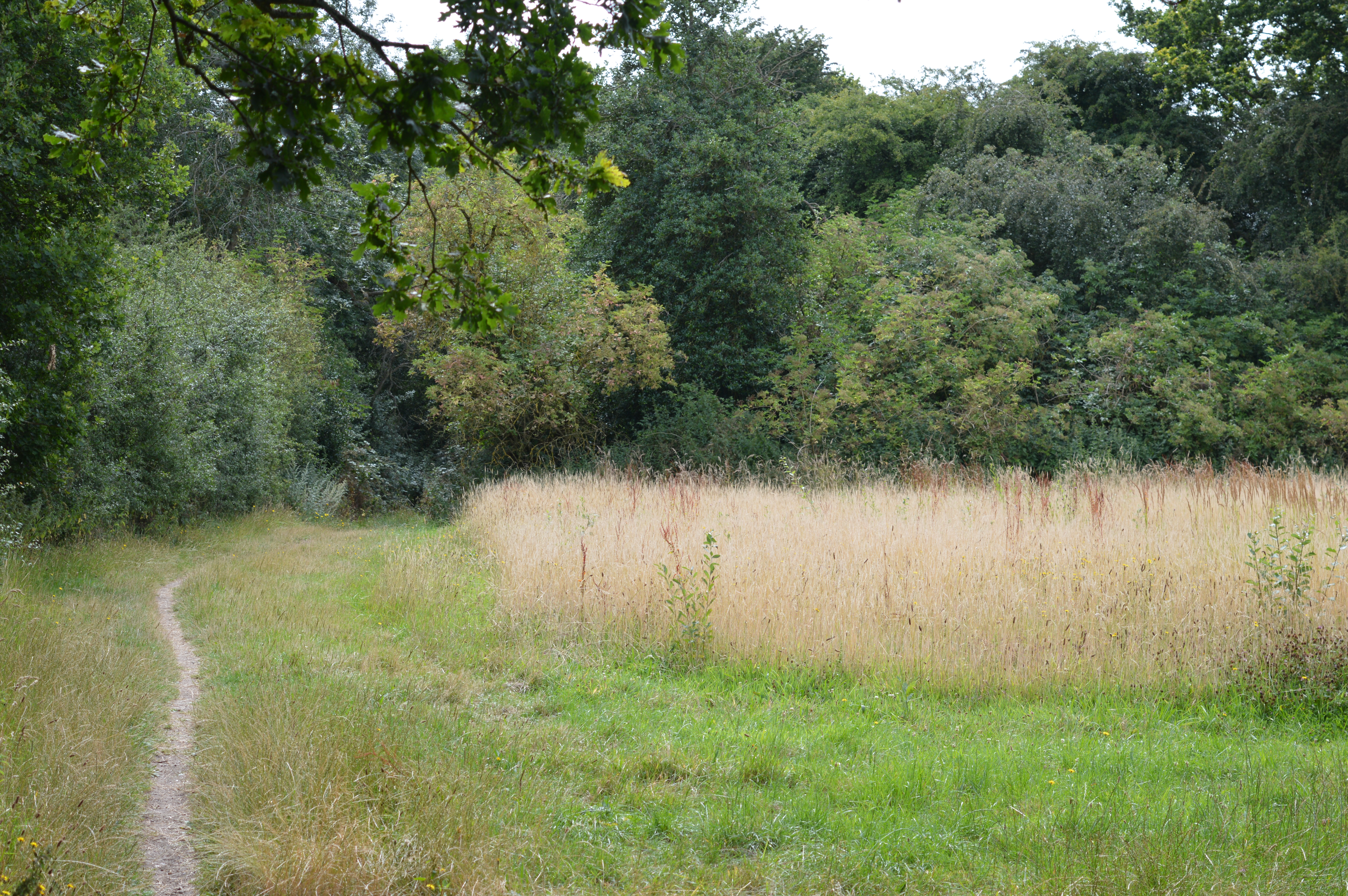
A network of well-maintained footpaths weaves through the forest, enabling visitors to explore the natural beauty of the area. The paths lead to a picturesque spring, from which the woodland derives its name. The spring is a small, bubbling stream that winds its way through the forest, providing a peaceful backdrop to the surrounding flora and fauna.
Wicks Spring is a popular destination for outdoor activities, with designated picnic areas and benches scattered throughout the woodland. Families and friends often gather here to enjoy a leisurely lunch or simply to relax and soak up the peaceful atmosphere.
With its stunning natural scenery and abundant wildlife, Wicks Spring is a hidden gem in Hertfordshire. It offers a wonderful opportunity to reconnect with nature and enjoy the tranquility of the great outdoors.
If you have any feedback on the listing, please let us know in the comments section below.
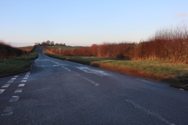
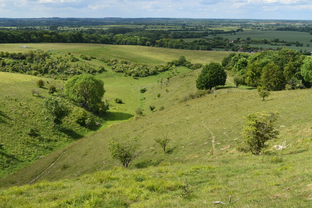
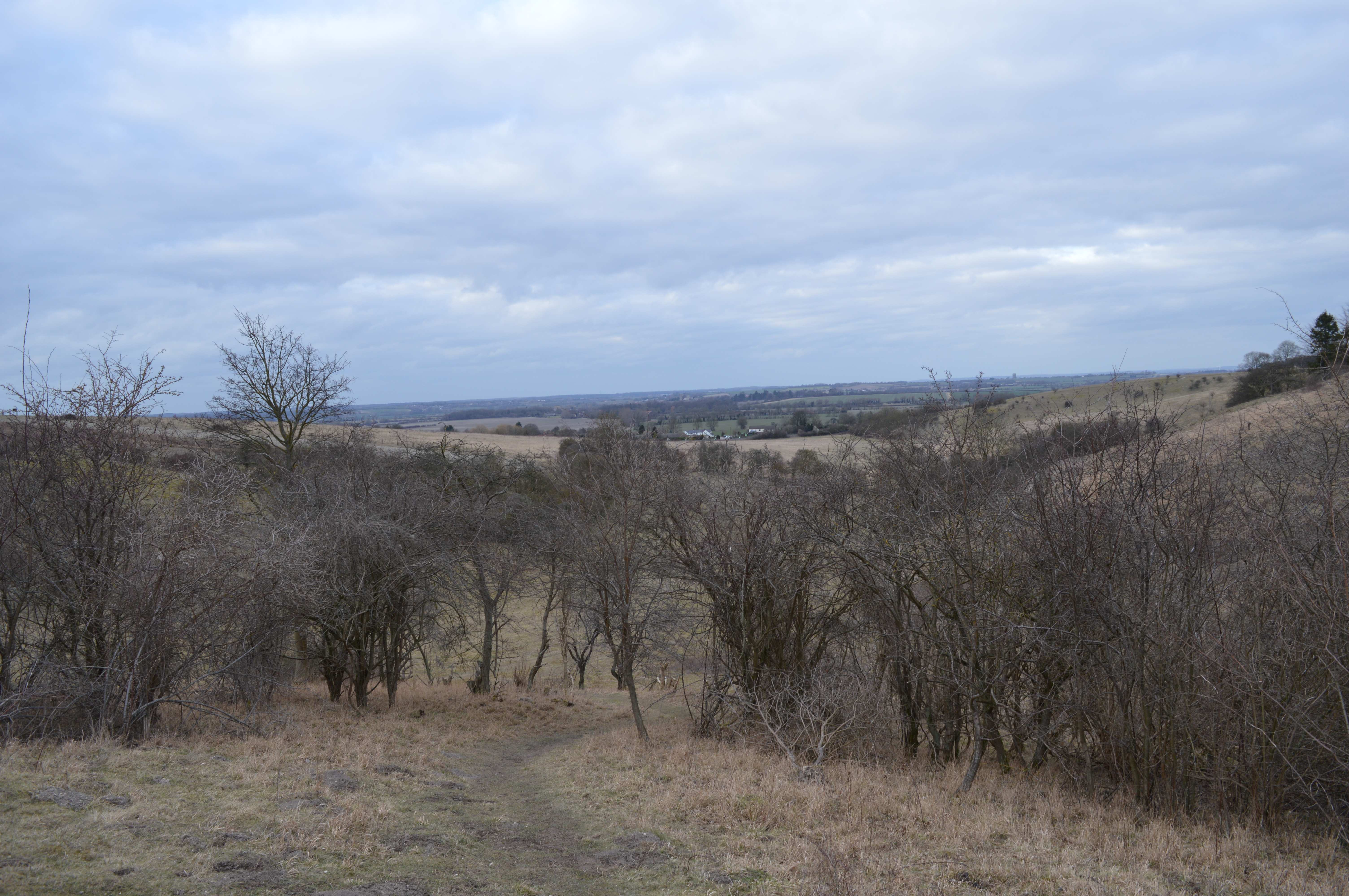
Wicks Spring Images
Images are sourced within 2km of 51.948567/-0.36375883 or Grid Reference TL1229. Thanks to Geograph Open Source API. All images are credited.


Wicks Spring is located at Grid Ref: TL1229 (Lat: 51.948567, Lng: -0.36375883)
Administrative County: Hertfordshire
District: North Hertfordshire
Police Authority: Hertfordshire
What 3 Words
///zoos.nuzzled.generals. Near Pirton, Hertfordshire
Nearby Locations
Related Wikis
Deacon Hill SSSI
Deacon Hill SSSI is a 35.4-hectare (87-acre) biological Site of Special Scientific Interest in Pegsdon in Bedfordshire. It is in the Chilterns Area of...

Pegsdon Hills and Hoo Bit
Pegsdon Hills and Hoo Bit is a 79-hectare (200-acre) nature reserve in Pegsdon in Bedfordshire. It is managed by the Wildlife Trust for Bedfordshire, Cambridgeshire...
Telegraph Hill, Hertfordshire
Telegraph Hill is a nature reserve near Lilley in north Hertfordshire. It is in the Chilterns Area of Outstanding Natural Beauty (AONB). According to...

Hitchin Yeshiva
Yeshivas Toras Chessed is a Jewish yeshiva, or rabbinical school. Its curriculum focuses on Torah study, emphasizing the study of Talmud and Jewish law...
Knocking Hoe
Knocking Hoe is a 7.7 hectare National Nature Reserve and biological Site of Special Scientific Interest near Pegsdon in Bedfordshire. It is mentioned...

Pegsdon
Pegsdon is a hamlet located in the Central Bedfordshire district of Bedfordshire, England. It is part of the Shillington civil parish, and is almost encircled...
Hexton Chalk Pit
Hexton Chalk Pit is a 1.9-hectare (4.7-acre) nature reserve in Hexton in North Hertfordshire, managed by the Herts and Middlesex Wildlife Trust. It is...
Hexton Manor
Hexton Manor is a country house in Hexton, Hertfordshire that has been home to the Lautour family, descendants of the Dukes of Bouillon and Major Sir Patrick...
Nearby Amenities
Located within 500m of 51.948567,-0.36375883Have you been to Wicks Spring?
Leave your review of Wicks Spring below (or comments, questions and feedback).