Barnsfarm Hill

Hill, Mountain in Sussex Horsham

England

Barnsfarm Hill

The Parish Church of St Mary The church at Sullington is a Grade I listed building. For further details see <span class="nowrap"><a title="https://historicengland.org.uk/listing/the-list/list-entry/1354077" rel="nofollow ugc noopener" href="https://historicengland.org.uk/listing/the-list/list-entry/1354077">Link</a><img style="margin-left:2px;" alt="External link" title="External link - shift click to open in new window" src="https://s1.geograph.org.uk/img/external.png" width="10" height="10"/></span>
The Parish Church of St Mary Credit: Chris Thomas-Atkin

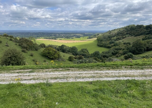
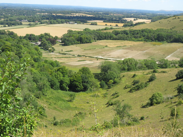
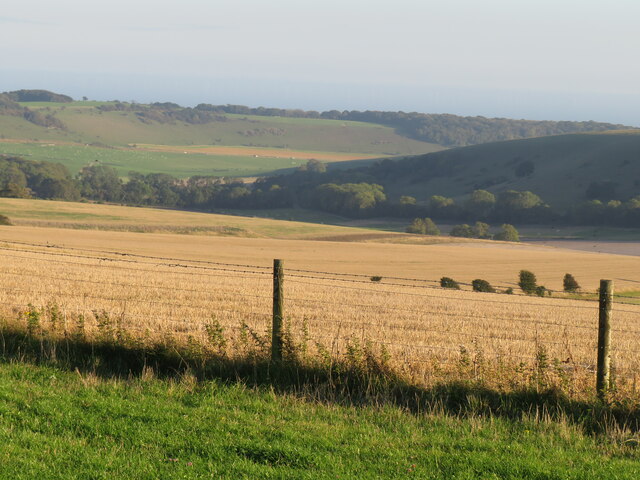
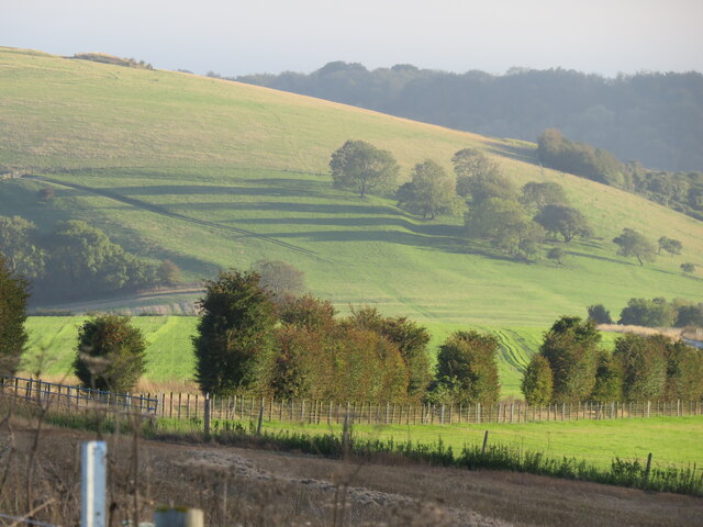
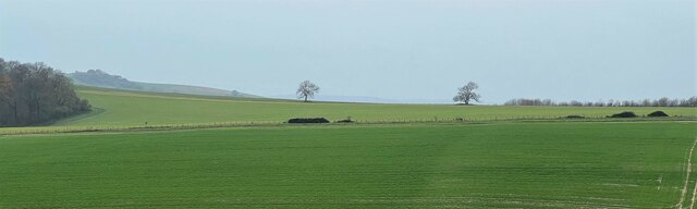
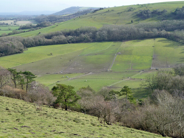
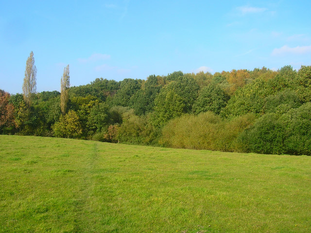
Barnsfarm Hill is a prominent hill located in the county of Sussex, England. It is situated near the village of Barnsfarm and is known for its picturesque landscapes and stunning views. With an elevation of approximately 250 meters (820 feet), it is considered one of the highest points in the region, offering panoramic vistas of the surrounding countryside.

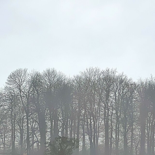
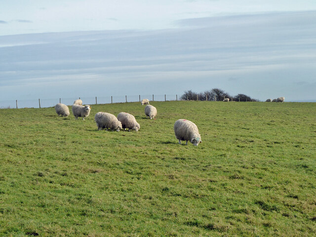
Covered in lush greenery, Barnsfarm Hill boasts a diverse range of flora and fauna, making it a haven for nature enthusiasts and wildlife lovers. The hill is characterized by rolling grasslands, scattered woodlands, and charming hedgerows, providing a habitat for various species of birds, butterflies, and small mammals.

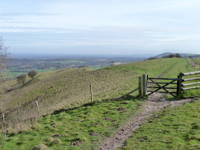
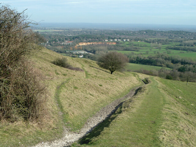
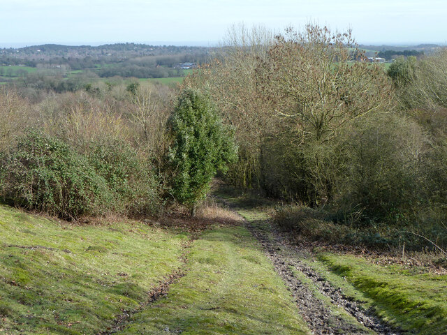
The hill is easily accessible by foot, and a network of well-maintained walking trails allows visitors to explore its beauty at their own pace. These paths lead adventurers along the hill's slopes, offering breathtaking views of the Sussex countryside and the nearby South Downs National Park.

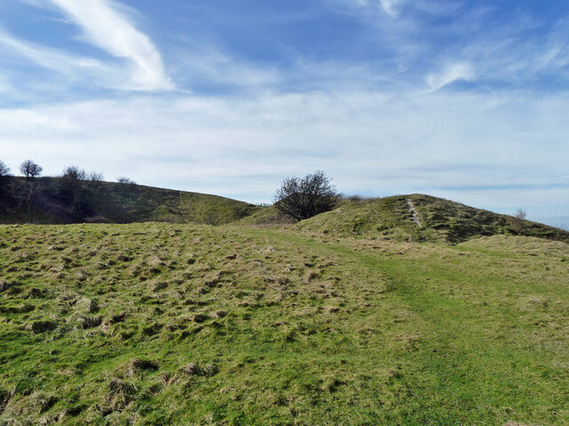
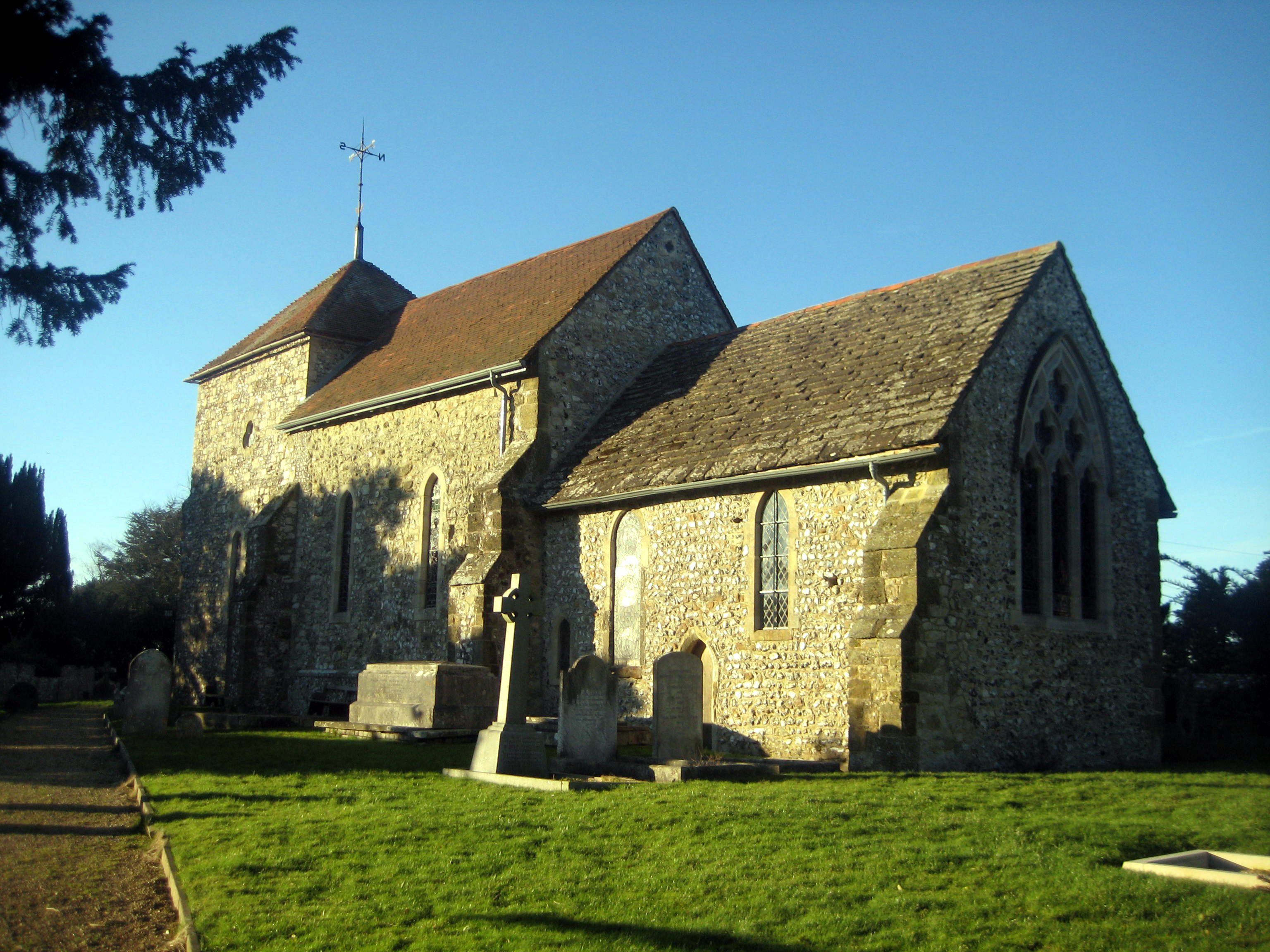
Barnsfarm Hill also holds historical significance, with remnants of ancient settlements and burial sites scattered across its slopes. Archaeological excavations have unearthed artifacts and evidence of human activity dating back thousands of years.

For those seeking outdoor activities, Barnsfarm Hill offers opportunities for hiking, picnicking, and photography. The hill's tranquil atmosphere and unspoiled natural surroundings make it an ideal destination for relaxation and rejuvenation.

In conclusion, Barnsfarm Hill in Sussex is a captivating location that combines natural beauty, historical significance, and recreational opportunities, making it a must-visit destination for nature lovers and history enthusiasts alike.

If you have any feedback on the listing, please let us know in the comments section below.

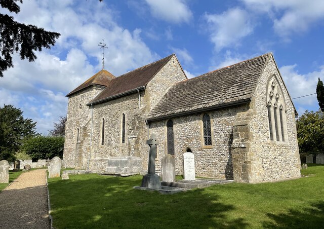
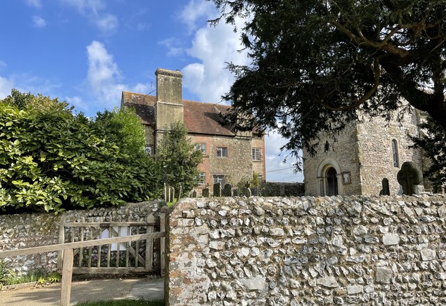
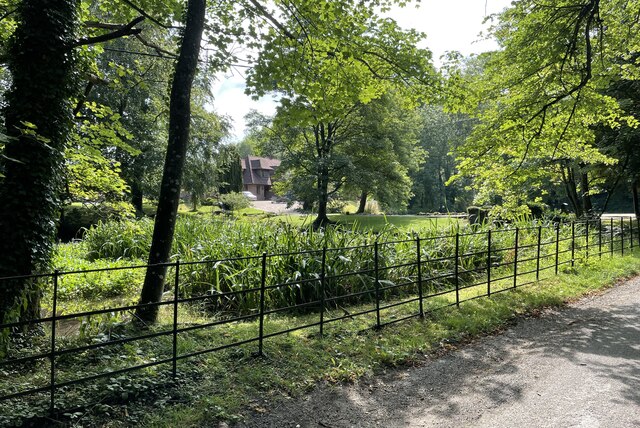
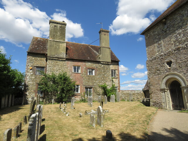
Barnsfarm Hill Images

Images are sourced within 2km of 50.895795/-0.43490108 or Grid Reference TQ1011. Thanks to Geograph Open Source API. All images are credited.

The Parish Church of St Mary The church at Sullington is a Grade I listed building. For further details see <span class="nowrap"><a title="https://historicengland.org.uk/listing/the-list/list-entry/1354077" rel="nofollow ugc noopener" href="https://historicengland.org.uk/listing/the-list/list-entry/1354077">Link</a><img style="margin-left:2px;" alt="External link" title="External link - shift click to open in new window" src="https://s1.geograph.org.uk/img/external.png" width="10" height="10"/></span>
The Parish Church of St Mary
The church at Sullington is a Grade I listed building. For further details see LinkExternal link
Sullington Manor The building close to the church is Sullington Manor, which is a Grade II listed building. See <span class="nowrap"><a title="https://historicengland.org.uk/listing/the-list/list-entry/1285147" rel="nofollow ugc noopener" href="https://historicengland.org.uk/listing/the-list/list-entry/1285147">Link</a><img style="margin-left:2px;" alt="External link" title="External link - shift click to open in new window" src="https://s1.geograph.org.uk/img/external.png" width="10" height="10"/></span>
Sullington Manor
The building close to the church is Sullington Manor, which is a Grade II listed building. See LinkExternal link
Chantry Mere Viewed from Chantry Lane.
Chantry Mere
Viewed from Chantry Lane.
Track on Sullington Hill A typical chalk based track on the South Downs.
Track on Sullington Hill
A typical chalk based track on the South Downs.
The Chantry from Chantry Hill One of the many fine views from the short circular walk from Sullington
The Chantry from Chantry Hill
One of the many fine views from the short circular walk from Sullington
Sullington Manor A patchwork of building materials from chalk, flint and brick, with the Church alongside
Sullington Manor
A patchwork of building materials from chalk, flint and brick, with the Church alongside
Sullington Manor Barn One of the finest barns in Sussex, now used as a heritage exhibition space and much -valued tea room
Sullington Manor Barn
One of the finest barns in Sussex, now used as a heritage exhibition space and much -valued tea room
View south from Chantry Post On the South Downs Way.
View south from Chantry Post
On the South Downs Way.
Evening shadows from Sullington Hill South Downs Way near Chantry Post.
Evening shadows from Sullington Hill
South Downs Way near Chantry Post.
View WSW across the downland north of Harrow Hill This is a cross-grid shot. The camera was in the square to the east. You can see the north end of Old Gray's Wood on the extreme left of the photo.
View WSW across the downland north of Harrow Hill
This is a cross-grid shot. The camera was in the square to the east. You can see the north end of Old Gray's Wood on the extreme left of the photo.
Rusty component on the South Downs This had been placed on the top of a concrete post/slab by the path. I'm not sure exactly what it is.
Rusty component on the South Downs
This had been placed on the top of a concrete post/slab by the path. I'm not sure exactly what it is.
Misty clump of trees - east of Greyfriars
Sheep, Kithurst Hill
View from bridleway on Kithurst Hill Bridleway 3671_1, Storrington and Sullington.
View from bridleway on Kithurst Hill
Bridleway 3671_1, Storrington and Sullington.
Old pits, Chantry Hill Or it might be Kithurst Hill, it is not clear where one finishes and the other starts.
Old pits, Chantry Hill
Or it might be Kithurst Hill, it is not clear where one finishes and the other starts.
Footpath 2684, Storrington and Sullington Oddly the small path to the left is a bridleway (2251), appearances suggest that they have been used the other way around.
Footpath 2684, Storrington and Sullington
Oddly the small path to the left is a bridleway (2251), appearances suggest that they have been used the other way around.
Paddocks below Chantry Hill, Storrington
Footpath 2684, Storrington and Sullington The footpaths here are a real mess because of use by horses - one hopes they have private rights. Legal use or not, the pedestrian loses out.
Footpath 2684, Storrington and Sullington
The footpaths here are a real mess because of use by horses - one hopes they have private rights. Legal use or not, the pedestrian loses out.
Show me another place!

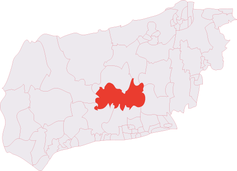
Barnsfarm Hill is located at Grid Ref: TQ1011 (Lat: 50.895795, Lng: -0.43490108)

Administrative County: West Sussex

District: Horsham

Police Authority: Sussex

What 3 Words

///rebel.declares.shortens. Near Washington, West Sussex

Nearby Locations

Barnsfarm Hill

Related Wikis

Sullington

Sullington is a village and former civil parish, now in the parish of Storrington and Sullington, in the Horsham district of West Sussex, England. The...

Windlesham House School

Windlesham House School is an independent boarding and day school for boys and girls aged 4 to 13 on the South Downs, in Pulborough, West Sussex, England...

Storrington (electoral division)

Storrington is an electoral division of West Sussex in the United Kingdom and returns one member to West Sussex County Council. == Extent == The division...

Chantry Mill

Chantry Mill is a 8.7-hectare (21-acre) geological Site of Special Scientific Interest in Storrington in West Sussex. It is a Geological Conservation Review...

Washington, West Sussex

Washington is a village and civil parish in the Horsham District of West Sussex, England. It is located five miles (eight kilometres) west of Steyning...
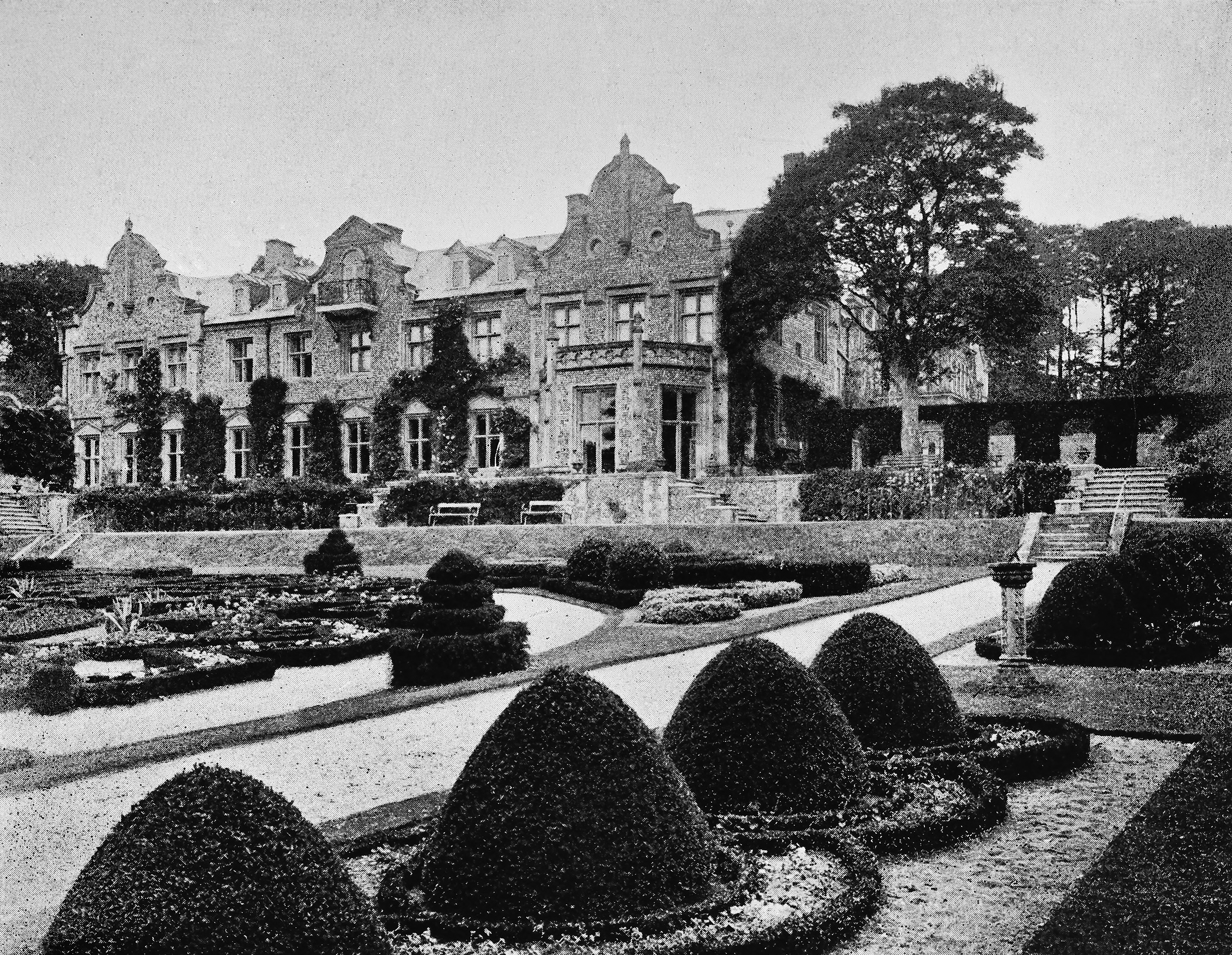
Muntham Court

Muntham Court was a country house and estate near a village of Findon, West Sussex, England. In the 1800s the estate covered 1,890 acres (760 ha). Following...

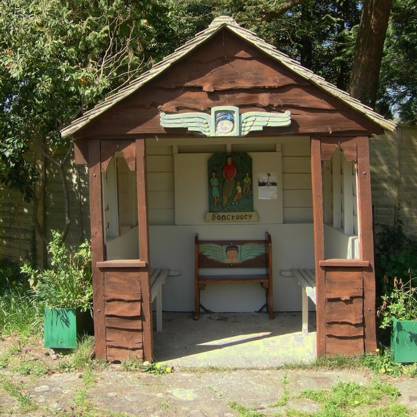
The Sanctuary (community)

The Sanctuary, near Storrington in West Sussex, England, was a utopian community which was founded in 1923 and lasted about a decade. == Founding and... ==

St Joseph's Hall

St Joseph's Hall in Greyfriars Lane, Storrington, West Sussex is a Grade II listed former residence of the Bishop of Arundel and Brighton. It was built...

Nearby Amenities

Located within 500m of 50.895795,-0.43490108
Barnsfarm Hill
Ele: 205
Natural: peak
Source: npe
Lat/Long: 50.8968423/-0.4322826
Bench
Backrest: yes
Material: wood
Lat/Long: 50.8975499/-0.4297631
Bench
Backrest: yes
Material: stone
Lat/Long: 50.8975191/-0.4296094
Hiking: yes
Information: guidepost
Tourism: information
Lat/Long: 50.8965523/-0.43017
Hiking: yes
Information: guidepost
Tourism: information
Lat/Long: 50.8959263/-0.4337923
The data included in this document is from www.openstreetmap.org. The data is made available under ODbL.

Have you been to Barnsfarm Hill?

Leave your review of Barnsfarm Hill below (or comments, questions and feedback).