Green Knoll
Hill, Mountain in Hertfordshire Three Rivers
England
Green Knoll

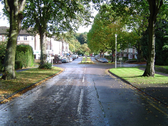
Green Knoll is a prominent hill located in the county of Hertfordshire, England. Standing at an elevation of approximately 240 meters, it offers breathtaking views of the surrounding countryside. This hill, also known as Green Knoll Hill or simply Green Knoll, is a popular destination for outdoor enthusiasts and nature lovers seeking a peaceful and scenic retreat.
The hill is characterized by its lush green vegetation, which is a result of the fertile soil and favorable climate in the region. It is home to a rich variety of flora and fauna, including wildflowers, grasses, and several species of birds. The diverse ecosystem of Green Knoll makes it an ideal spot for nature walks, hiking, and wildlife observation.
Green Knoll is easily accessible by foot, with several well-maintained trails leading to its summit. The paths wind through picturesque meadows and woodlands, offering visitors a chance to immerse themselves in the natural beauty of the area. At the top of the hill, visitors are rewarded with panoramic views of the surrounding countryside, including rolling hills, quaint villages, and distant landmarks.
In addition to its natural beauty, Green Knoll also holds historical significance. It is believed to have been a site of ancient settlements, with archaeological evidence suggesting human activity in the area dating back thousands of years. The hill's strategic location made it an ideal vantage point during various periods of history, and remnants of defensive structures can still be found in the vicinity.
Overall, Green Knoll in Hertfordshire is a captivating destination that offers a perfect blend of natural beauty, recreational opportunities, and historical significance. It provides a serene escape from the bustling city life and invites visitors to connect with nature while enjoying the stunning vistas it has to offer.
If you have any feedback on the listing, please let us know in the comments section below.
Green Knoll Images
Images are sourced within 2km of 51.63022/-0.44459192 or Grid Reference TQ0793. Thanks to Geograph Open Source API. All images are credited.


Green Knoll is located at Grid Ref: TQ0793 (Lat: 51.63022, Lng: -0.44459192)
Administrative County: Hertfordshire
District: Three Rivers
Police Authority: Hertfordshire
What 3 Words
///warns.scuba.accent. Near Rickmansworth, Hertfordshire
Nearby Locations
Related Wikis
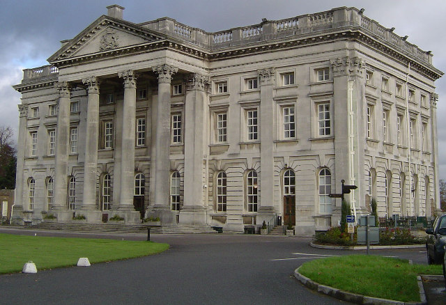
Moor Park (house)
Moor Park is a Neo-Palladian mansion set within several hundred acres of parkland to the south-east of Rickmansworth in Hertfordshire, England. It is called...

Moor Park Golf Club
Moor Park Golf Club is a country club located in Rickmansworth, Hertfordshire, England. It has two eighteen-hole golf courses, the High Course and the...
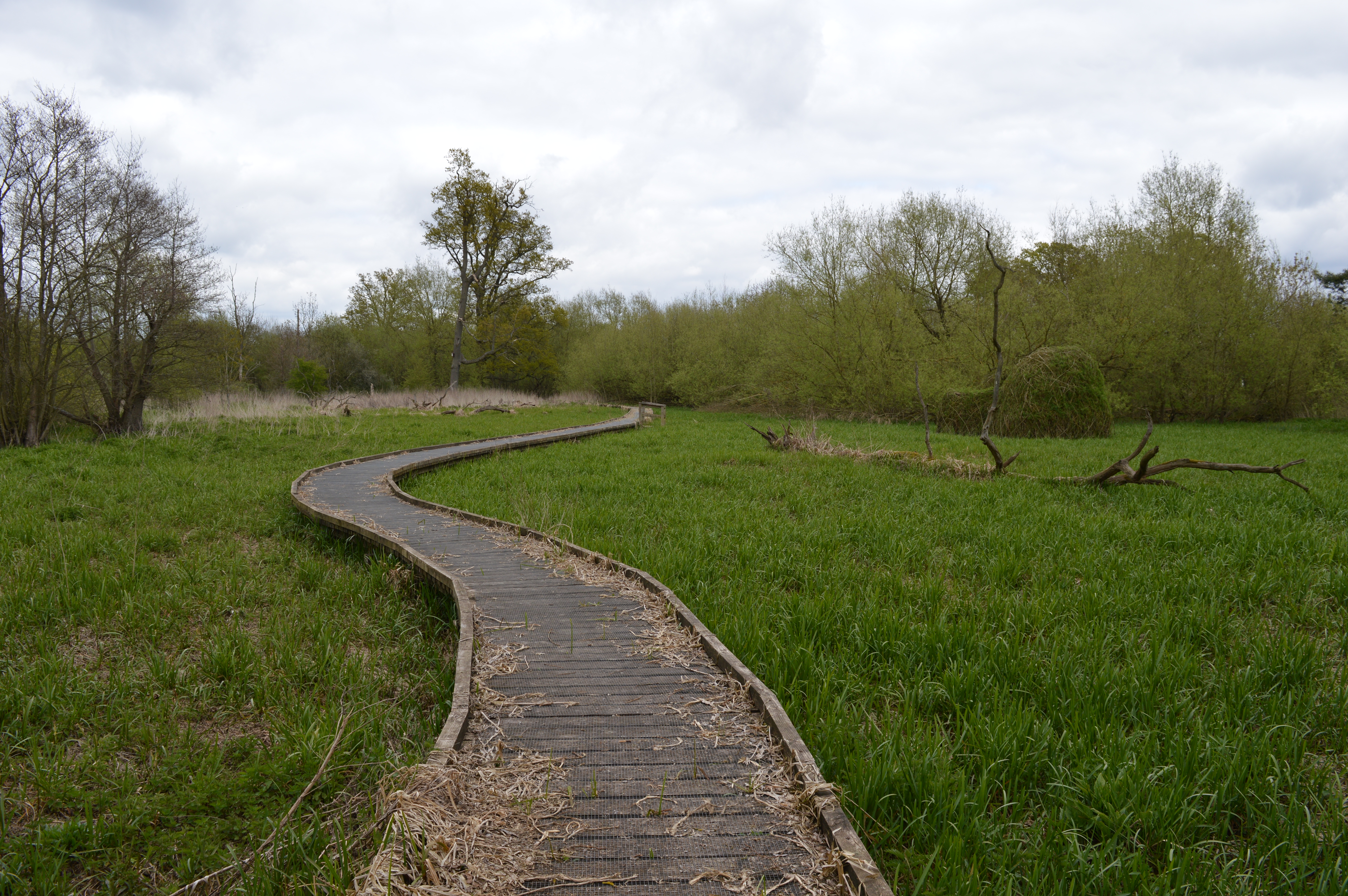
The Withey Beds
The Withey Beds is a 7.5 hectare Local Nature Reserve (LNR) in Rickmansworth in Hertfordshire. It was declared an LNR in 2004 by Three Rivers District...
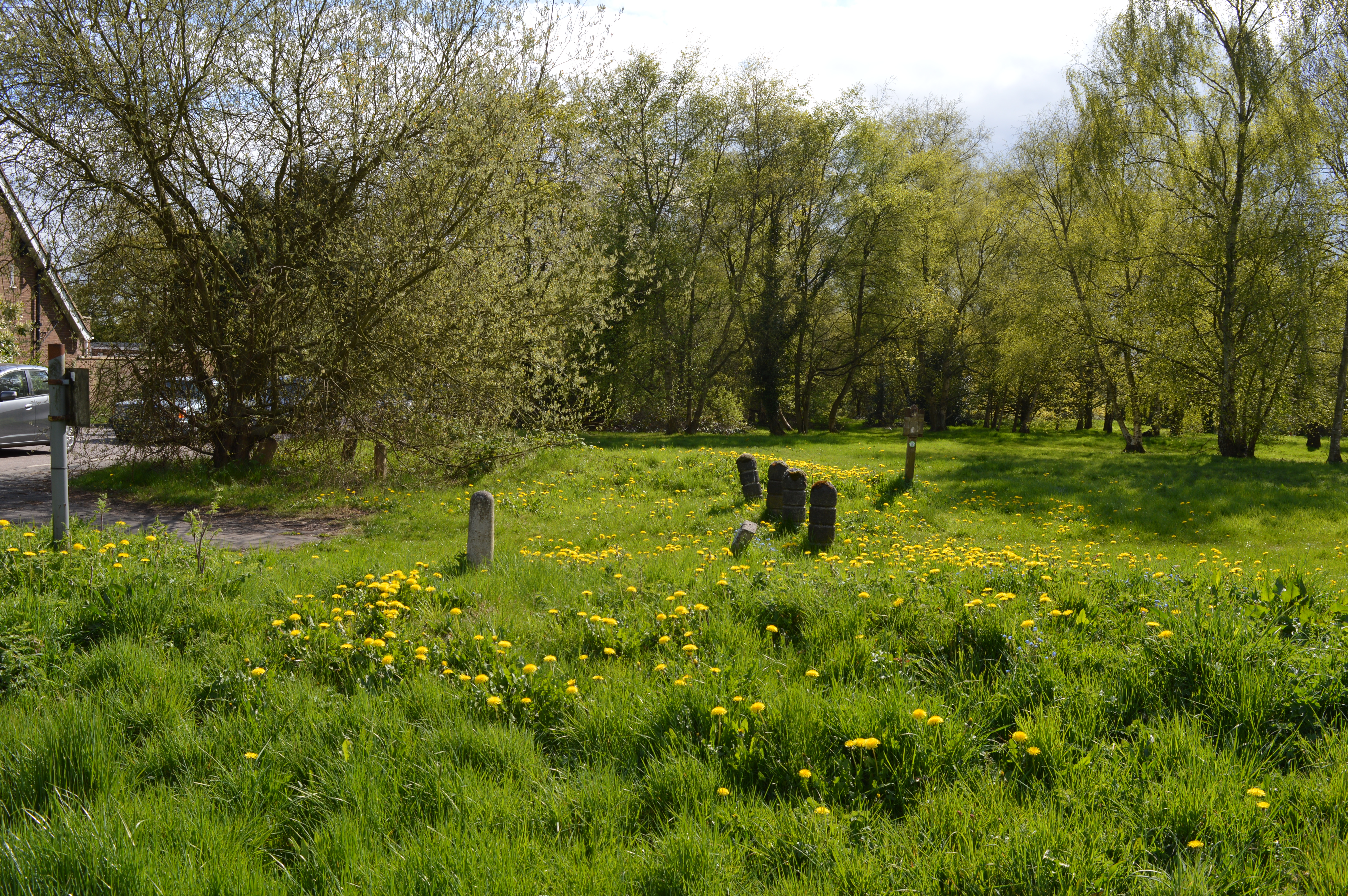
Batchworth Heath
Batchworth Heath is 4 hectares (10 acres) of designated common land in Rickmansworth, Hertfordshire, around the junction of Batchworth Heath Hill, Batchworth...
The More
The More (also known as the Manor of the More) was a 16th-century palace in the parish of Rickmansworth, Hertfordshire, England, where Catherine of Aragon...
Moor Park, Hertfordshire
Moor Park is a private residential estate in the Three Rivers District of Hertfordshire, England. Located approximately 16 miles (26 km) northwest of central...
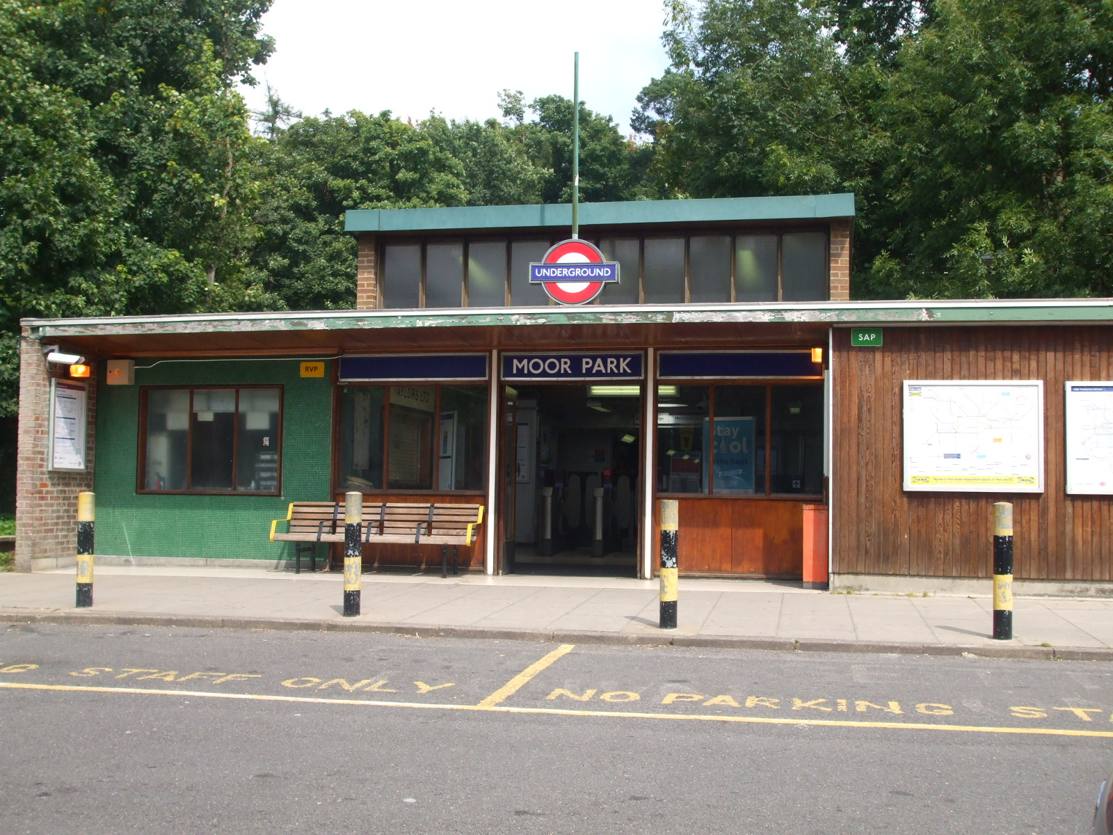
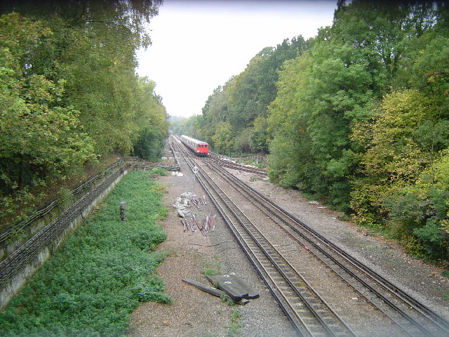
Moor Park tube station
Moor Park is a London Underground station in the Three Rivers district of Hertfordshire, serving those living on the Moor Park estate, and also on the...
Batchworth
Batchworth was once a hamlet and is now a civil parish and part of Rickmansworth in Hertfordshire. The parish of Batchworth was created on 1 April 2017...
Nearby Amenities
Located within 500m of 51.63022,-0.44459192Have you been to Green Knoll?
Leave your review of Green Knoll below (or comments, questions and feedback).