East Hill
Hill, Mountain in Bedfordshire
England
East Hill
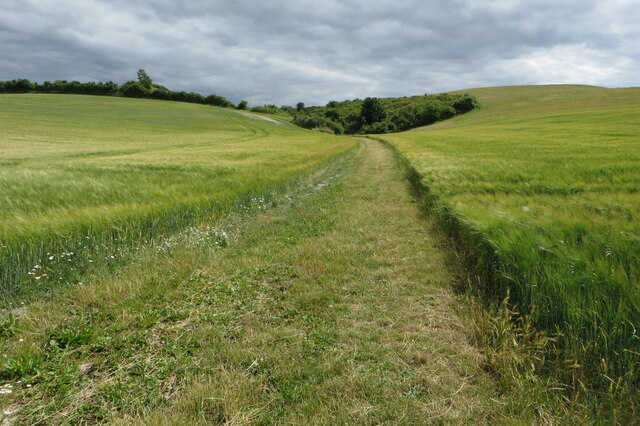
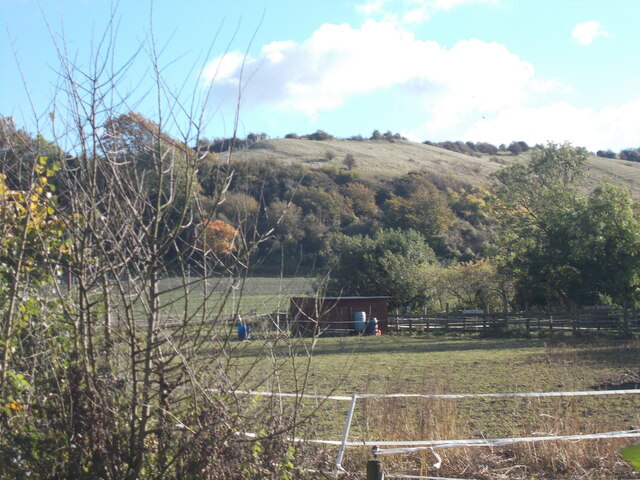
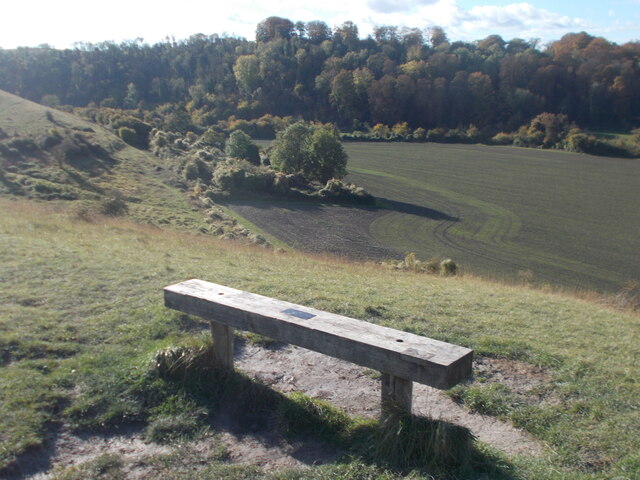
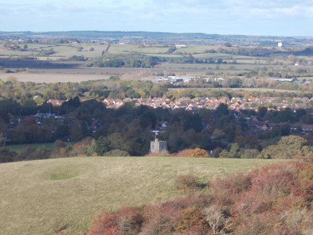
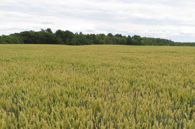
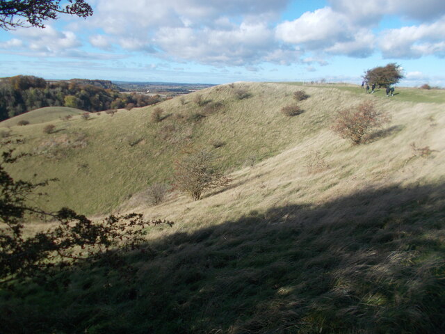
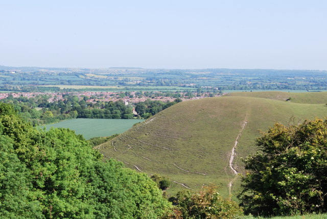
East Hill is a prominent natural landmark located in Bedfordshire, England. Standing at an elevation of approximately 192 meters (630 feet), it is considered one of the highest points in the county. Situated near the village of Houghton Conquest, East Hill offers breathtaking panoramic views of the surrounding countryside, making it a popular destination for outdoor enthusiasts and nature lovers.
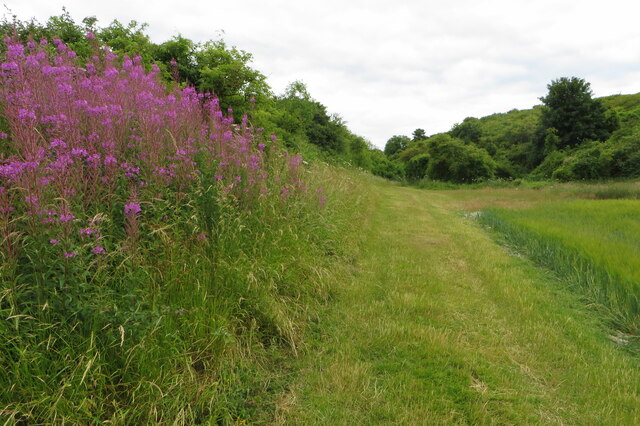
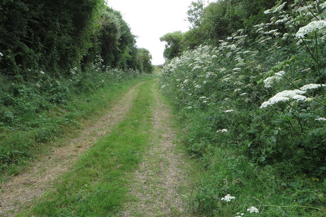
The hill is characterized by its gently sloping terrain, covered in lush greenery and dotted with diverse flora and fauna. It is primarily composed of chalk and clay, which adds to its unique geological composition. East Hill is also home to a variety of wildlife, including various bird species, small mammals, and insects.
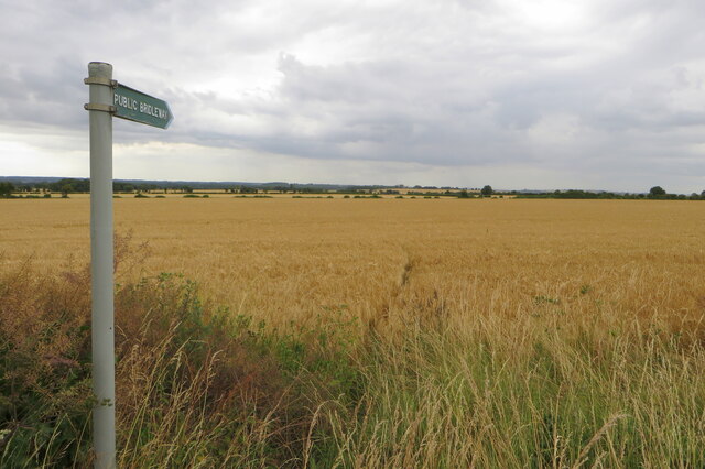
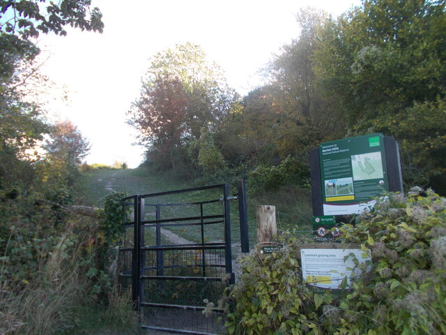
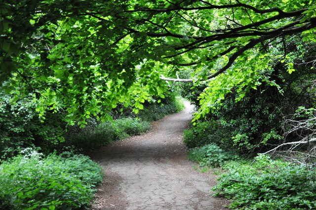
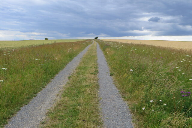
Visitors to East Hill can explore a network of well-maintained footpaths and trails that crisscross the area, providing opportunities for hiking, walking, and cycling. The hill's summit boasts a trig point, which serves as a reference point for surveying and mapping purposes.
In addition to its natural beauty, East Hill holds historical significance. It is believed to have been inhabited by humans since prehistoric times, with archaeological evidence suggesting the presence of Iron Age settlements in the area. The hill's strategic location also made it an important site during medieval times, with the remains of a motte-and-bailey castle located nearby.
Overall, East Hill in Bedfordshire offers a captivating blend of natural beauty, recreational opportunities, and historical significance, making it a cherished destination for both locals and visitors alike.
If you have any feedback on the listing, please let us know in the comments section below.
East Hill Images
Images are sourced within 2km of 51.955309/-0.43301842 or Grid Reference TL0729. Thanks to Geograph Open Source API. All images are credited.
East Hill is located at Grid Ref: TL0729 (Lat: 51.955309, Lng: -0.43301842)
Unitary Authority: Central Bedfordshire
Police Authority: Bedfordshire
What 3 Words
///modern.soda.twist. Near Streatley, Bedfordshire
Nearby Locations
Related Wikis

Smithcombe, Sharpenhoe and Sundon Hills
Smithcombe, Sharpenhoe and Sundon Hills is an 86.1-hectare (213-acre) Site of Special Scientific Interest in Sharpenhoe in Bedfordshire. Most of it is...

Streatley, Bedfordshire
Streatley is a village and civil parish in the Central Bedfordshire district of Bedfordshire, England. == Geography == Streatley is situated just to the...

Barton Rovers F.C.
Barton Rovers Football Club is a semi-professional football club based in Barton-le-Clay, Bedfordshire, England. The club are currently members of the...
Barton Hills, Bedfordshire
Barton Hills are situated southeast of the village of Barton-le-Clay in the English county of Bedfordshire. They are part of the Chilterns and hiking...

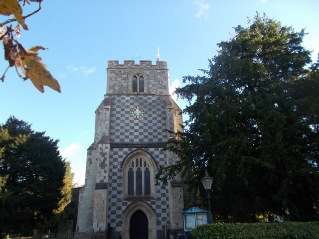
Church of St Nicholas, Barton le Clay
Church of St Nicholas is a Grade I listed church in Barton le Clay, Bedfordshire, England. It became a listed building on 3 February 1967. == History... ==
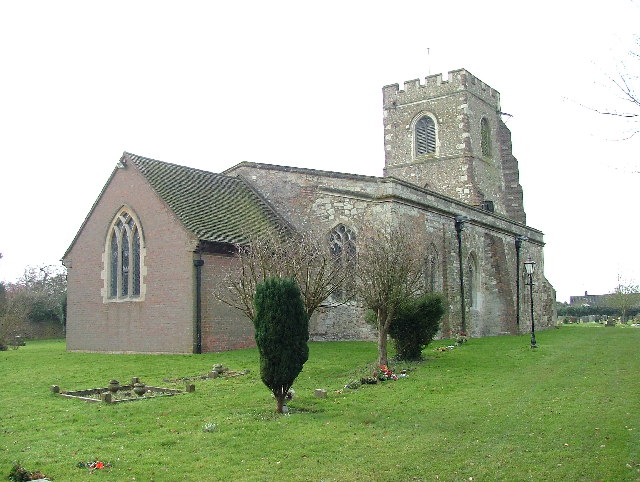
Church of St Margaret, Streatley, Bedfordshire
Church of St Margaret is a Grade I listed church in Streatley, Bedfordshire, England. It became a listed building on 3 February 1967. == See also == Grade...

Sharpenhoe
Sharpenhoe is a small village in Bedfordshire, England, at the foot of the hills known as the Sharpenhoe Clappers, which are within the Chilterns AONB...
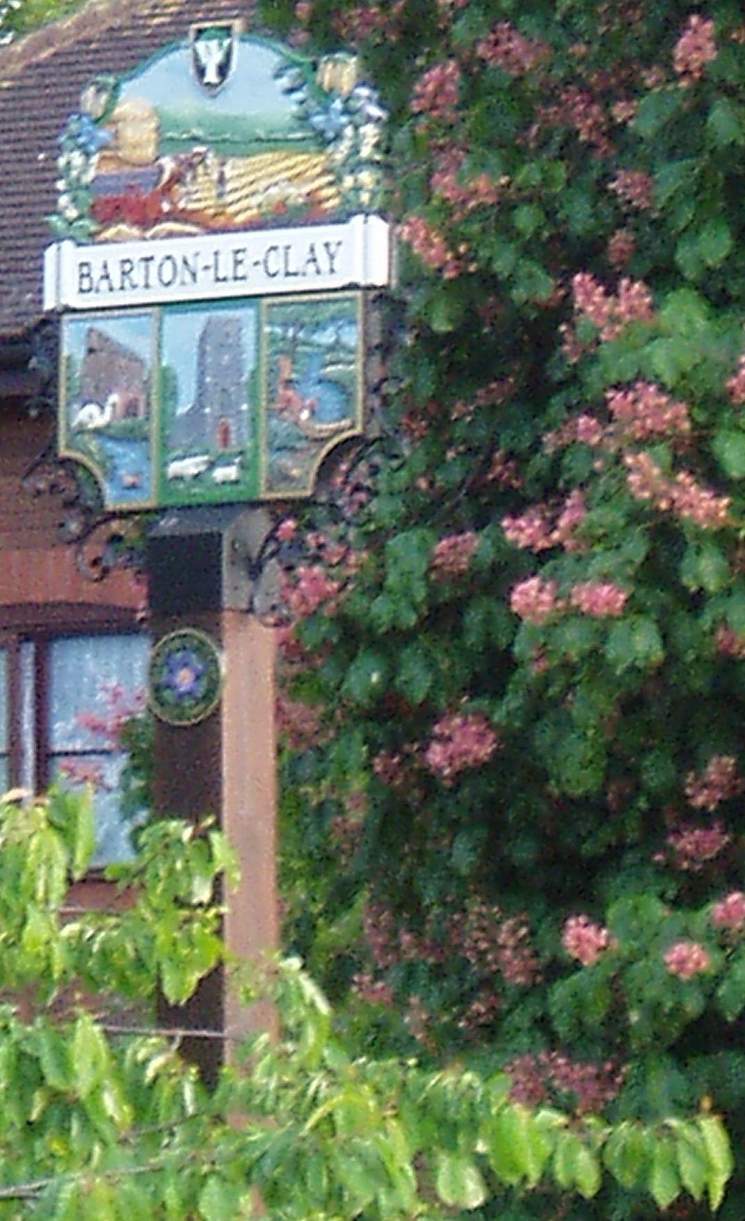
Barton-le-Clay
Barton-le-Clay is a large village and a civil parish in the Central Bedfordshire Borough in Bedfordshire, England, bordering Hertfordshire. The village...
Nearby Amenities
Located within 500m of 51.955309,-0.43301842Have you been to East Hill?
Leave your review of East Hill below (or comments, questions and feedback).