Conger Hill
Hill, Mountain in Bedfordshire
England
Conger Hill

Conger Hill is a prominent hill located in the county of Bedfordshire, England. It is situated near the village of Caddington and stands at an elevation of approximately 236 meters (774 feet) above sea level. The hill is a popular destination for hikers and nature enthusiasts, offering stunning panoramic views of the surrounding countryside.
Conger Hill is part of the Chiltern Hills, a designated Area of Outstanding Natural Beauty known for its rolling hills, wooded valleys, and picturesque villages. The hill is covered in lush greenery, with a variety of plant and animal species inhabiting the area.
Visitors to Conger Hill can enjoy a leisurely walk or hike along the well-maintained trails that wind their way up the hill. On a clear day, it is possible to see as far as the nearby town of Luton and even the city of London in the distance.
Overall, Conger Hill is a peaceful and scenic spot that offers a refreshing escape from the hustle and bustle of everyday life. It is a perfect place to relax, unwind, and connect with nature.
If you have any feedback on the listing, please let us know in the comments section below.
Conger Hill Images
Images are sourced within 2km of 51.949414/-0.5298 or Grid Reference TL0128. Thanks to Geograph Open Source API. All images are credited.


Conger Hill is located at Grid Ref: TL0128 (Lat: 51.949414, Lng: -0.5298)
Unitary Authority: Central Bedfordshire
Police Authority: Bedfordshire
What 3 Words
///retire.harshest.bless. Near Toddington, Bedfordshire
Nearby Locations
Related Wikis

Toddington Castle
Toddington Castle, today known as "Conger Hill Motte", is an artificial earthen mound located in the village of Toddington, in the county of Bedfordshire...

Church of St George, Toddington, Bedfordshire
Church of St George is a Grade I listed church in Toddington, Bedfordshire, England. It became a listed building on 3 February 1967. == History == The...
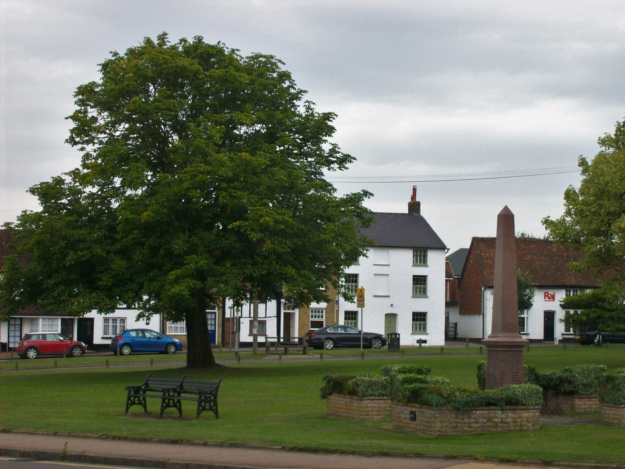
Toddington, Bedfordshire
Toddington is a large village and civil parish in the county of Bedfordshire, England. It is situated 5 miles north-north-west of Luton, 4 miles (6 km...
Toddington Manor, Bedfordshire
Toddington Manor is a Tudor country house in the English county of Bedfordshire, near the village of Toddington and is a Grade II listed building with...
Nearby Amenities
Located within 500m of 51.949414,-0.5298Have you been to Conger Hill?
Leave your review of Conger Hill below (or comments, questions and feedback).