Throxenby Head

Hill, Mountain in Yorkshire Scarborough

England

Throxenby Head

Beech Drive, Scalby Residential street to the west of the A171.
Beech Drive, Scalby Credit: Barbara Carr

Throxenby Head is a prominent hill located in the county of Yorkshire, England. Situated near the town of Scarborough, it is known for its picturesque views and natural beauty. Although often referred to as a hill, Throxenby Head could also be considered a small mountain, as it rises to an elevation of approximately 100 meters (328 feet) above sea level.

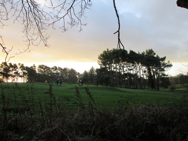
The hill is characterized by its gently sloping sides and a relatively flat top, which provides visitors with ample space to explore and appreciate the stunning landscape. Throxenby Head is covered in lush green vegetation, including grasses, heather, and various wildflowers, creating a vibrant and colorful scene during the warmer months.

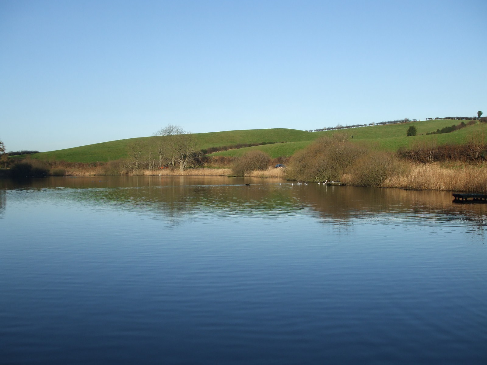
At the summit of Throxenby Head, visitors are rewarded with breathtaking panoramic views of the surrounding countryside, including the North Sea to the east and the rolling hills of the Yorkshire Wolds to the west. On clear days, it is even possible to see as far as the Yorkshire Dales in the distance.

Throxenby Head is a popular destination for nature enthusiasts, hikers, and photographers. Several walking trails crisscross the hill, offering opportunities to explore its diverse flora and fauna. The hill is also home to a variety of bird species, making it an excellent spot for birdwatching.

Overall, Throxenby Head stands as a natural landmark in Yorkshire, providing visitors with a tranquil escape and a chance to immerse themselves in the beauty of the British countryside.

If you have any feedback on the listing, please let us know in the comments section below.

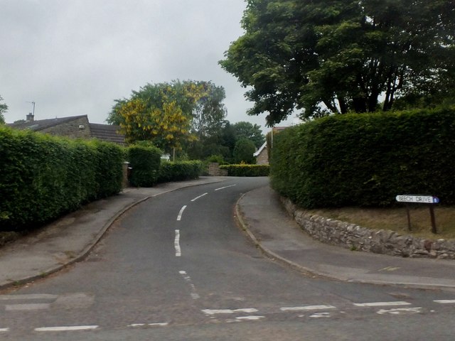
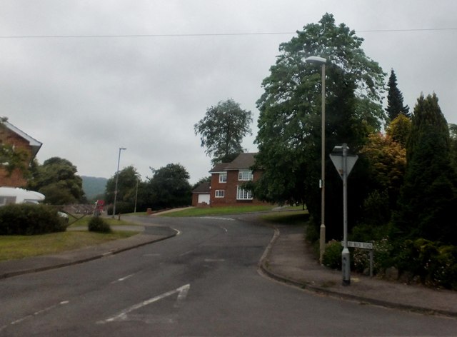
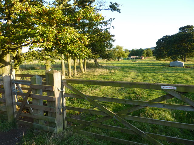
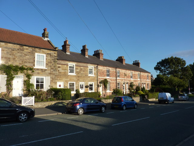
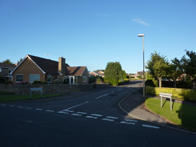
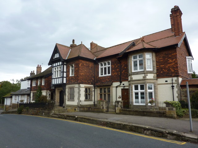
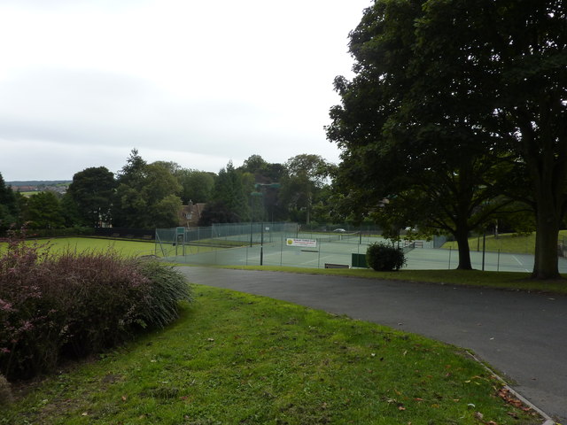
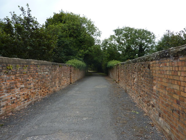
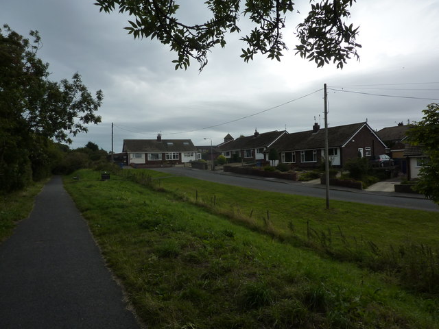
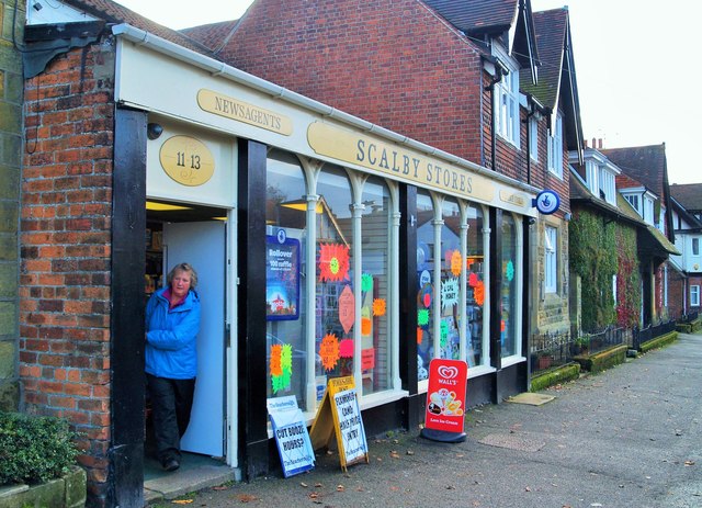
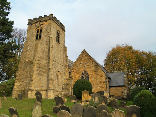
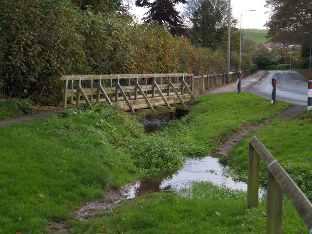
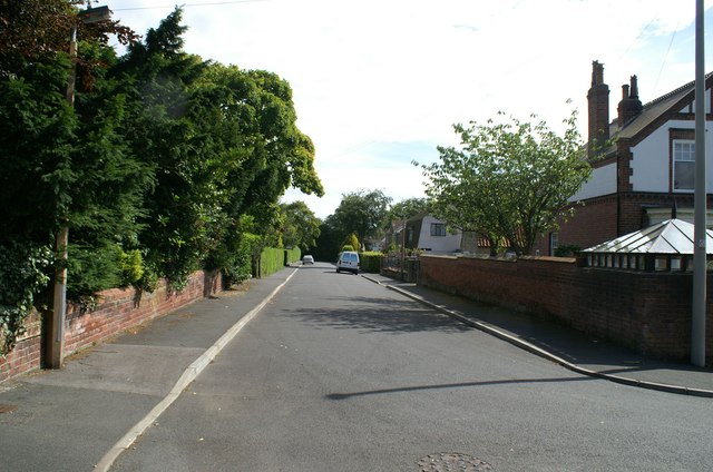
Throxenby Head Images

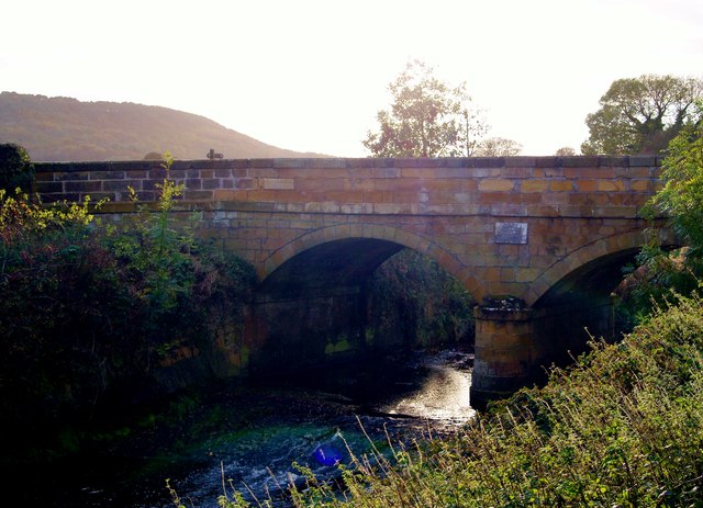
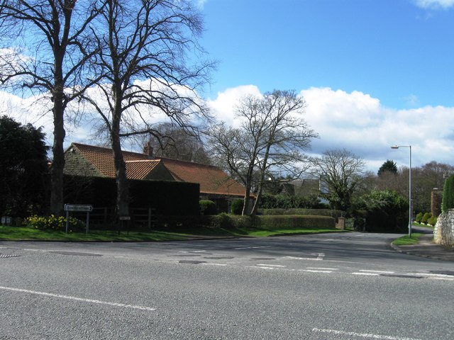
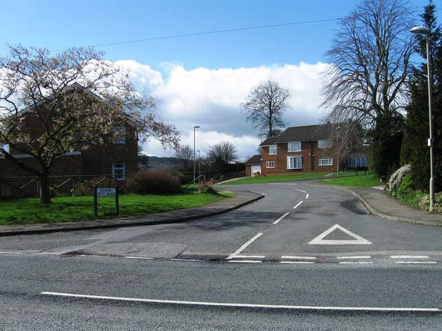
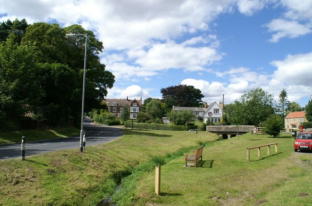
Images are sourced within 2km of 54.287883/-0.44799268 or Grid Reference TA0189. Thanks to Geograph Open Source API. All images are credited.

Beech Drive, Scalby Residential street to the west of the A171.
Beech Drive, Scalby
Residential street to the west of the A171.
Scalby Beck Drive Residential street in Scalby, to the southwest of the A171.
Scalby Beck Drive
Residential street in Scalby, to the southwest of the A171.
Footpath from Wrea Head to Scalby
Scalby Road, terraced cottages A plaque on the wall reads "Jubilee Terrace.. WS AD 1887".
Scalby Road, terraced cottages
A plaque on the wall reads "Jubilee Terrace.. WS AD 1887".
Wrea Head Close Bungalow land in Scalby.
Wrea Head Close
Bungalow land in Scalby.
High Street, Scalby Stone built houses with decorative wall tiles above the ground floor.
High Street, Scalby
Stone built houses with decorative wall tiles above the ground floor.
Scalby Tennis Club  On Station Road.
Scalby Tennis Club
On Station Road.
Bridge over Scalby Beck On the route of a now dismantled rail line (Scarborough to Ravenscar and Whitby), now a walking and cycling route into the town.
Bridge over Scalby Beck
On the route of a now dismantled rail line (Scarborough to Ravenscar and Whitby), now a walking and cycling route into the town.
Princess Close, Scarborough Seen from the old railway line.
Princess Close, Scarborough
Seen from the old railway line.
Scalby Stores Scalby Stores, High Street, Scalby.
Scalby Stores
Scalby Stores, High Street, Scalby.
St Laurence's Church
Wooden footpath bridge Footpath bridge over Church Beck, leading to Hackness Road.
Wooden footpath bridge
Footpath bridge over Church Beck, leading to Hackness Road.
Scalby Bridge Scalby Bridge over Sea Cut.
Scalby Bridge
Scalby Bridge over Sea Cut.
Stony Lane, Scalby
Stony Lane, Scalby
Scalby Beck Road
Scalby Beck Road
Hackness Road, Scalby Hackness Road runs along the left, whilst Church Hill joins it from the right over the bridge which takes it across Church Beck. There is a ford close to where the photographer is standing
Hackness Road, Scalby
Hackness Road runs along the left, whilst Church Hill joins it from the right over the bridge which takes it across Church Beck. There is a ford close to where the photographer is standing
The Park, Scalby Viewed from the junction with West Park Road which is in the foreground. This part of Scalby consists of large late 19th and early 20th century houses in substantial grounds.
The Park, Scalby
Viewed from the junction with West Park Road which is in the foreground. This part of Scalby consists of large late 19th and early 20th century houses in substantial grounds.
Early  morning  on  the  golf  course North Cliff golf course from the footpath at the western end of Hillcrest Avenue
Early morning on the golf course
North Cliff golf course from the footpath at the western end of Hillcrest Avenue
Show me another place!

Throxenby Head is located at Grid Ref: TA0189 (Lat: 54.287883, Lng: -0.44799268)

Division: North Riding

Administrative County: North Yorkshire

District: Scarborough

Police Authority: North Yorkshire

What 3 Words

///porch.drape.rental. Near Scarborough, North Yorkshire

Related Wikis

Throxenby

Throxenby is a suburb of Scarborough, in North Yorkshire, England. Historically the settlement of Throxenby was a hamlet, separated from Scarborough by...

Raincliffe School

Raincliffe School was a comprehensive secondary school, with Business and Enterprise College status, in Scarborough, North Yorkshire, England. On 31 August...

Sea Cut (Scalby Beck)

The Sea Cut (Scalby Beck) is a small river that enters the North Sea at Scalby Mills, Scarborough, North Yorkshire, England. The beck is fed from local...

Scarborough TEC

Scarborough TEC, (formerly known as Yorkshire Coast College, Scarborough Technical College, Scarborough Technical Institute, and Scarborough School of...

Graham School

Graham School is a coeducational secondary school in the west of Scarborough in North Yorkshire, England. It is situated to the west of the town within...

Scalby School

Scalby School is a coeducational secondary school located in Scarborough, North Yorkshire, England. It caters for pupils aged 11–16, with around 980 on...

Scarborough Hospital

Scarborough Hospital, formerly Scarborough General Hospital is an NHS district general hospital in Scarborough, North Yorkshire, England. It is run by...

Scalby, North Yorkshire

Scalby, a village on the north edge of Scarborough, North Yorkshire, England, is part of the civil parish of Newby and Scalby. From 1902 to 1974, Scalby...

Nearby Amenities

Located within 500m of 54.287883,-0.44799268
Created By: Potlatch 0.8b
Tourism: attraction
Lat/Long: 54.2848569/-0.4507793
Fast Food
Silks Fish & Chips @ The Croft
Addr City: Scarborough
Addr Housenumber: 2
Addr Postcode: YO12 5JD
Addr Street: The Croft
Addr Suburb: Newby
Cuisine: fish_and_chips
Lat/Long: 54.2897013/-0.4417519
Booth: KX100
Covered: booth
Removed Amenity: telephone
Lat/Long: 54.2900019/-0.4416929
Post Box
Post Box Type: pillar
Ref: YO12 179D
Royal Cypher: GVIR
Royal Cypher Wikidata: Q33102169
Lat/Long: 54.2899737/-0.4416742
Fast Food
Golden Dragon Takeaway
Addr City: Scarborough
Addr Housenumber: 1
Addr Postcode: YO12 5JD
Addr Street: The Croft
Addr Suburb: Newby
Cuisine: chinese
Lat/Long: 54.2897451/-0.4416447
Post Box
Post Box Mounting: wooden_post
Post Box Type: lamp
Ref: YO12 198D
Royal Cypher: EIIR
Royal Cypher Wikidata: Q33102113
Lat/Long: 54.2879713/-0.4422642
Bus Stop
Lat/Long: 54.2878492/-0.4421087
Parking
Parking: street_side
Lat/Long: 54.2858154/-0.4522582
Bench
Lat/Long: 54.2918475/-0.4496053
Bench
Lat/Long: 54.2890125/-0.4513355
Bench
Lat/Long: 54.2906232/-0.4505441
Generator Method: photovoltaic
Generator Output Electricity: yes
Generator Source: solar
Generator Type: solar_photovoltaic_panel
Location: roof
Power: generator
Lat/Long: 54.2874369/-0.4426439
The data included in this document is from www.openstreetmap.org. The data is made available under ODbL.

Have you been to Throxenby Head?

Leave your review of Throxenby Head below (or comments, questions and feedback).