Hurst Hill
Hill, Mountain in Surrey Waverley
England
Hurst Hill

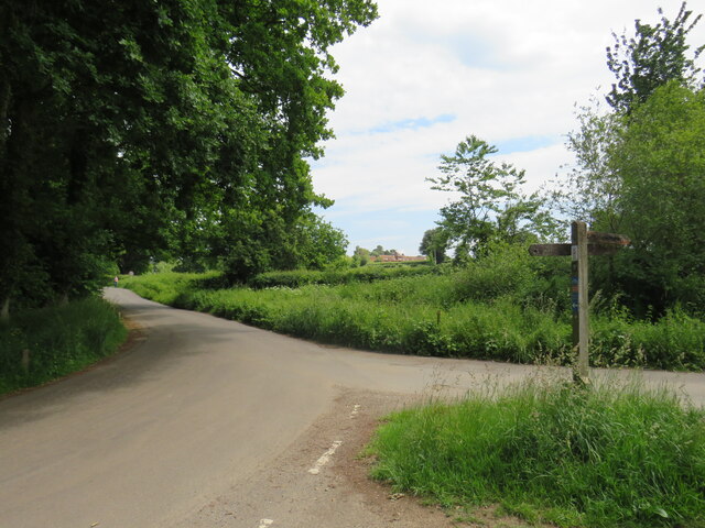
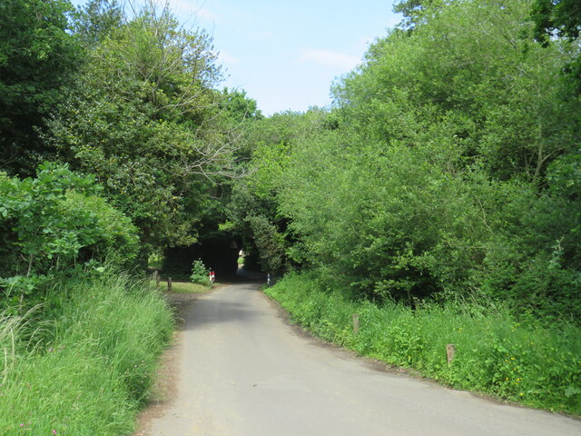
Hurst Hill is a prominent hill located in the county of Surrey, England. Situated in the southeastern part of the county, it forms part of the North Downs, a ridge of chalk hills extending across southern England. With an elevation of approximately 245 meters (804 feet), Hurst Hill offers breathtaking panoramic views of the surrounding countryside and is a popular destination for nature enthusiasts and hikers.
Covered in lush greenery, the hill is home to a diverse range of flora and fauna, including several rare and protected species. The area is characterized by its rolling landscape, with gentle slopes and occasional steep inclines, making it a challenging yet rewarding terrain for outdoor activities such as walking, running, and cycling.
Hurst Hill is also rich in historical significance. Evidence of human activity in the area dates back to the Neolithic period, and archaeological finds suggest that the hill was inhabited during the Iron Age and Roman times. Today, remnants of ancient settlements, burial mounds, and earthworks can still be found on its slopes, providing a glimpse into the region's past.
Surrounded by picturesque villages and charming countryside, Hurst Hill offers a tranquil escape from the hustle and bustle of urban life. Its close proximity to major towns and cities, including Guildford and Dorking, makes it easily accessible for both locals and visitors, who can enjoy the natural beauty and serenity that this hill has to offer.
If you have any feedback on the listing, please let us know in the comments section below.
Hurst Hill Images
Images are sourced within 2km of 51.186838/-0.55492107 or Grid Reference TQ0144. Thanks to Geograph Open Source API. All images are credited.


Hurst Hill is located at Grid Ref: TQ0144 (Lat: 51.186838, Lng: -0.55492107)
Administrative County: Surrey
District: Waverley
Police Authority: Surrey
What 3 Words
///chest.abode.tides. Near Bramley, Surrey
Nearby Locations
Related Wikis
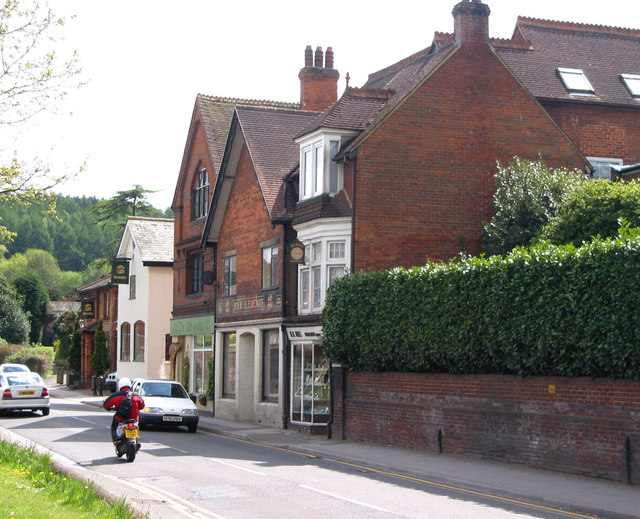
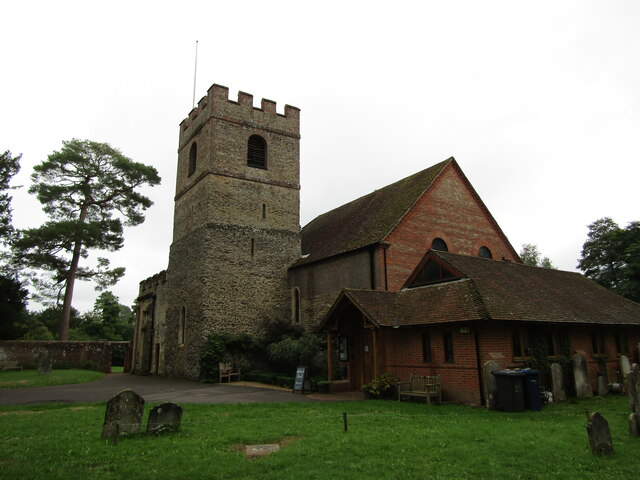
Bramley, Surrey
Bramley is a village and civil parish about three miles (5 km) south of Guildford in the Borough of Waverley in Surrey, south east England. Most of the...
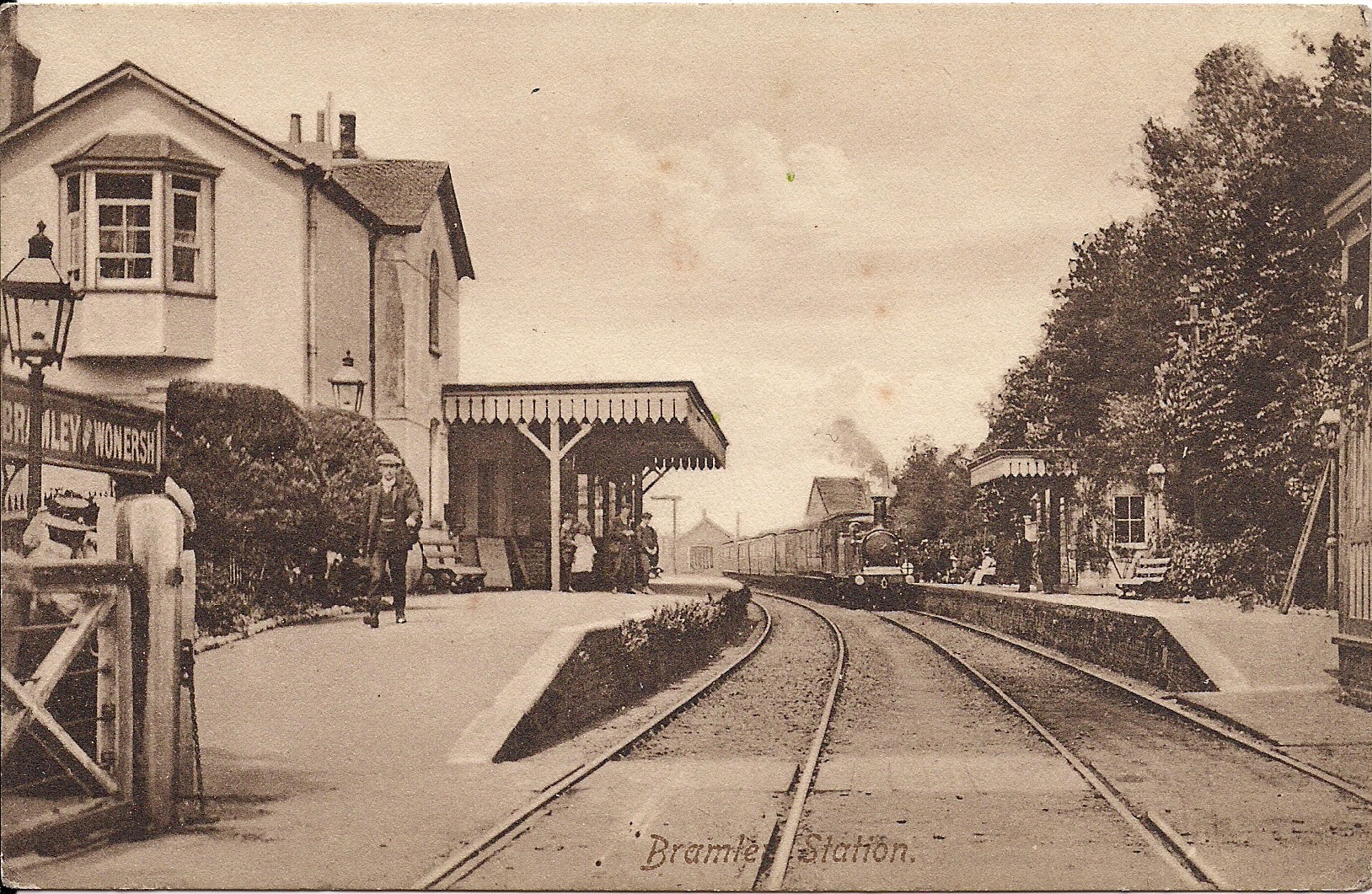
Bramley & Wonersh railway station
Bramley & Wonersh was a railway station on the Cranleigh Line. It served the villages of Bramley and Wonersh in Surrey. == History == Opened in 1865 as...
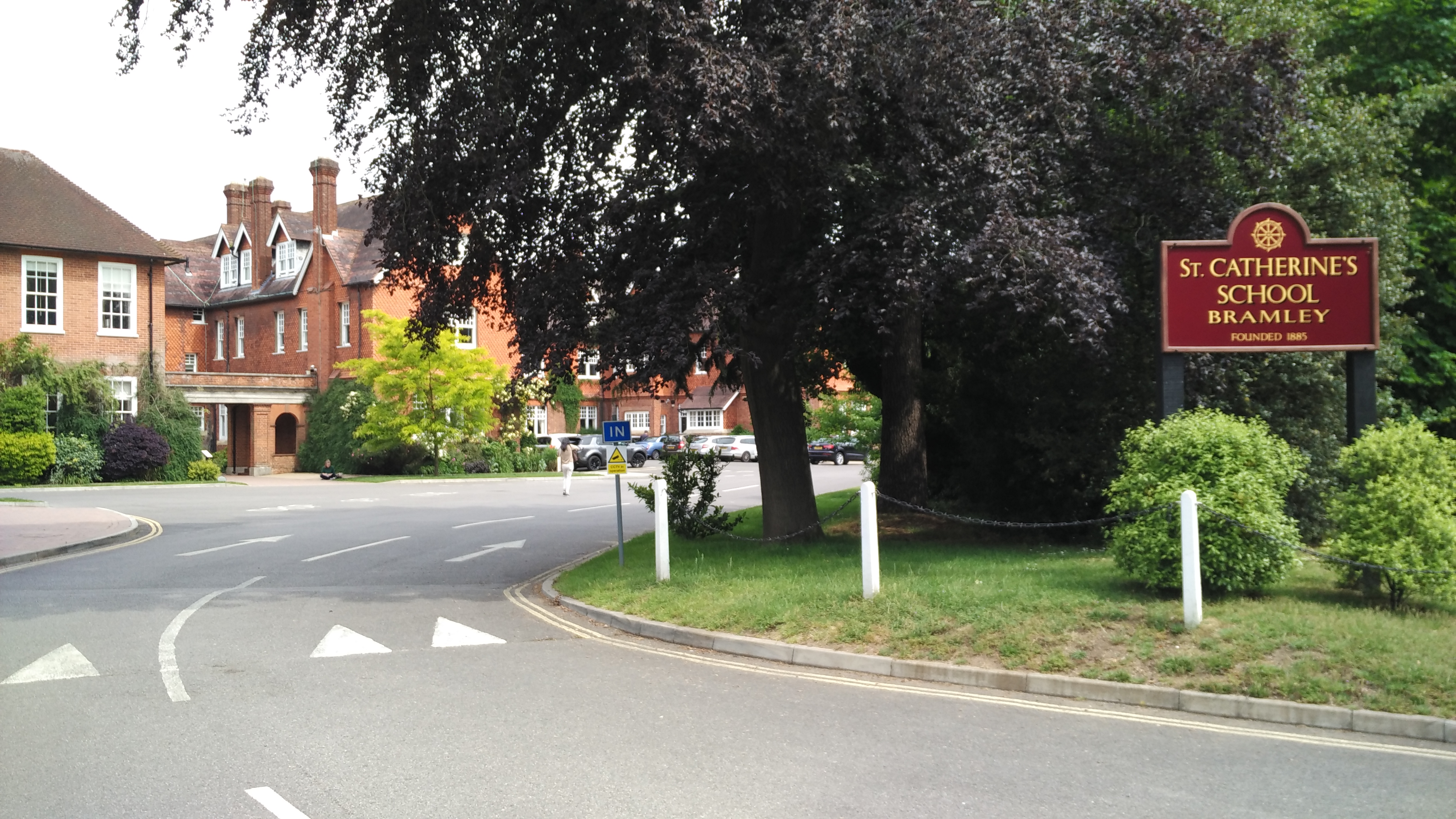
St Catherine's School, Bramley
St Catherine's School is an independent girls' boarding and day school in the village of Bramley, near Guildford, Surrey, England. The school is divided...
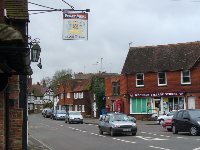
Wonersh
Wonersh is a village and civil parish in the Waverley district of Surrey, England and Surrey Hills Area of Outstanding Natural Beauty. Wonersh contains...
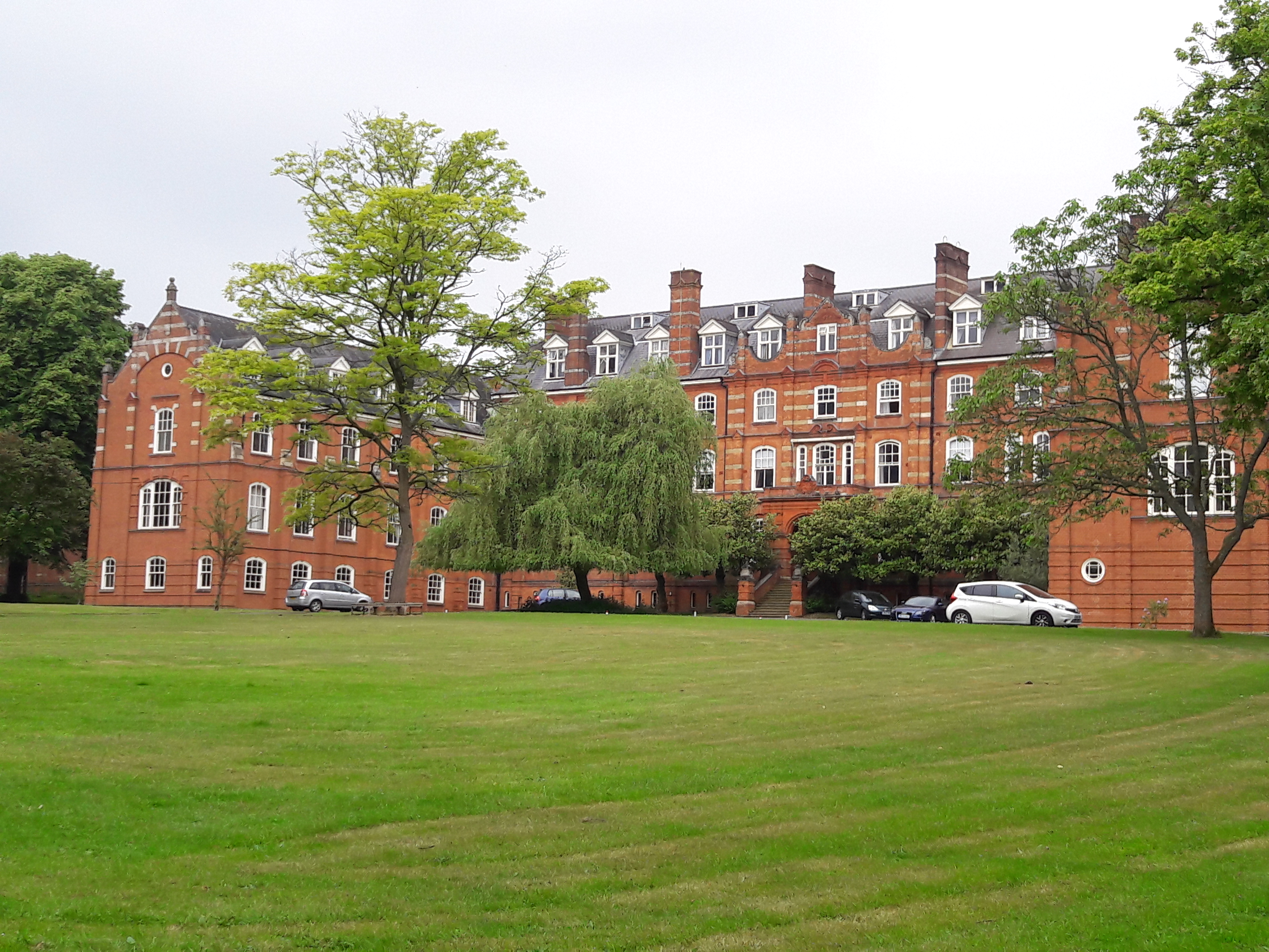
St John's Seminary, Wonersh
St John's Seminary was a Roman Catholic seminary located at Wonersh near Guildford in Surrey, in the Diocese of Arundel and Brighton, United Kingdom. St...

Chinthurst Hill
Chinthurst Hill is a 17.2-hectare (43-acre) Local Nature Reserve south of Guildford in Surrey. It is owned by Surrey County Council and managed by Surrey...

Orchards, Surrey
Orchards is an Arts and Crafts style house in Bramley in Surrey, England. It is on Bramley's boundary with Busbridge and 1 mile (1.6 km) south-east of...

Christ Church, Shamley Green
Christ Church is a Church of England parish church in Shamley Green, Surrey, England. It was constructed in 1863 as a chapel of ease and became a parish...
Nearby Amenities
Located within 500m of 51.186838,-0.55492107Have you been to Hurst Hill?
Leave your review of Hurst Hill below (or comments, questions and feedback).