Danewell Hill

Hill, Mountain in Surrey Woking

England

Danewell Hill

Philpot Lane Looking south.
Philpot Lane Credit: JThomas

Danewell Hill is a small hill located in Surrey, England. It is situated in the Surrey Hills Area of Outstanding Natural Beauty, providing stunning views of the surrounding countryside. The hill is popular among hikers and walkers, offering a variety of trails and paths for outdoor enthusiasts to explore.

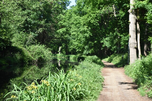
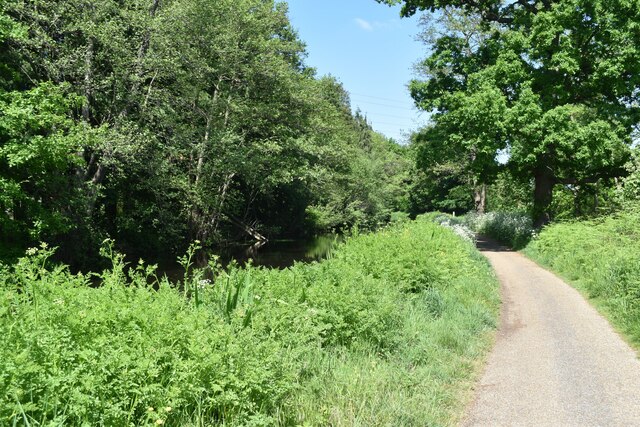
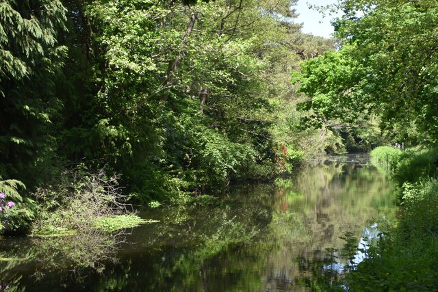
Danewell Hill is characterized by its gentle slopes and lush greenery, making it an ideal spot for a leisurely hike or picnic. The hill is home to a diverse range of flora and fauna, including wildflowers, birds, and small mammals.

At the summit of Danewell Hill, visitors can enjoy panoramic views of the Surrey countryside, with rolling hills and picturesque villages in the distance. On a clear day, it is possible to see as far as the South Downs and even the English Channel.

Overall, Danewell Hill is a peaceful and scenic spot in Surrey, offering visitors a chance to connect with nature and enjoy the beauty of the English countryside.

If you have any feedback on the listing, please let us know in the comments section below.

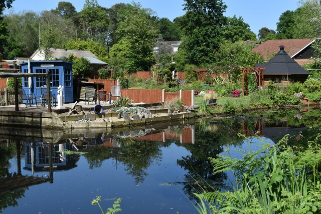
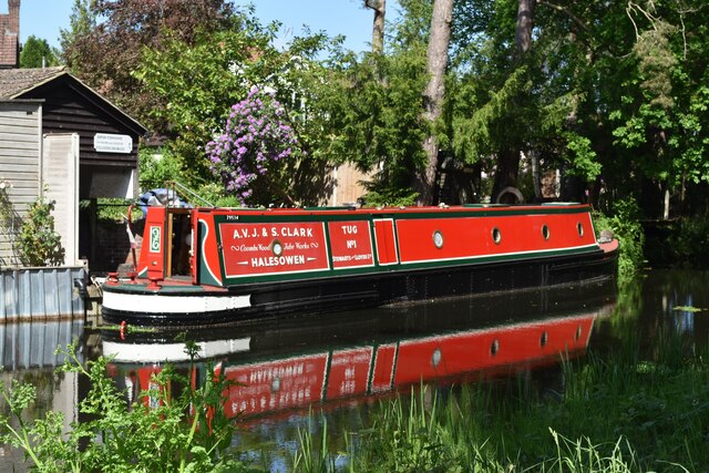
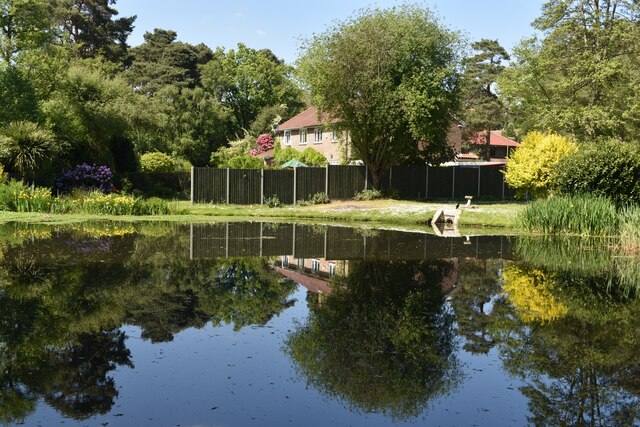
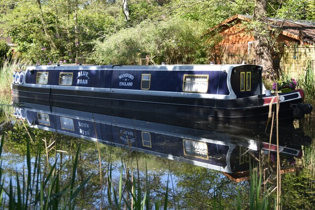
Danewell Hill Images

Images are sourced within 2km of 51.342603/-0.54824768 or Grid Reference TQ0161. Thanks to Geograph Open Source API. All images are credited.

Philpot Lane Looking south.
Philpot Lane
Looking south.
The Bourne A permissive path gives access to the northern bank.
The Bourne
A permissive path gives access to the northern bank.
Mill Bourne Just west of Emmett's Mill
Mill Bourne
Just west of Emmett's Mill
Emmett's Mill And Mill Bourne.
Emmett's Mill
And Mill Bourne.
Littlewick Road, Horsell Crossing Horsell Common
Littlewick Road, Horsell
Crossing Horsell Common
Philpot Lane junction with A319 Emmett's Mill just outside Chobham.
Philpot Lane junction with A319
Emmett's Mill just outside Chobham.
Bridge over the Bourne The little hump back bridge that carries Philpott Lane over the River Bourne. Driving over this bridge is such fun as it is single lane and you cannot see what is coming from either side of the bridge.
Bridge over the Bourne
The little hump back bridge that carries Philpott Lane over the River Bourne. Driving over this bridge is such fun as it is single lane and you cannot see what is coming from either side of the bridge.
River Bourne The River Bourne from the footpath that runs from Philpott Lane to Horsell Common. This is little more than a stream It feeds into the Thames at Chertsey.
River Bourne
The River Bourne from the footpath that runs from Philpott Lane to Horsell Common. This is little more than a stream It feeds into the Thames at Chertsey.
The Millbourne, Chobham The Millbourne and the overgrown footpath along its bank near to Emmetts Mill on Philpot Lane.
The Millbourne, Chobham
The Millbourne and the overgrown footpath along its bank near to Emmetts Mill on Philpot Lane.
Road signs on Chertsey Road, Emmets Mill For people coming from Philpot Lane to the junction
Road signs on Chertsey Road, Emmets Mill
For people coming from Philpot Lane to the junction
Basingstoke Canal and towpath at Sheerwater
Basingstoke Canal, adjacent to Blackmore Crescent
View across verge at north end of Bentham Avenue
Gardens beside the Basingstoke Canal
Narrowboat and boathouse, Basingstoke Canal
Winding hole on Basingstoke Canal at Sheerwater
Moored narrowboat, Basingstoke Canal
Show me another place!

Danewell Hill is located at Grid Ref: TQ0161 (Lat: 51.342603, Lng: -0.54824768)

Administrative County: Surrey

District: Woking

Police Authority: Surrey

What 3 Words

///curve.pies.spoken. Near Woking, Surrey

Nearby Locations

Danewell Hill

Related Wikis

McLaren Group

McLaren Group Limited is a British holding company based in Woking, England, which is involved in Formula One and other motorsport and the manufacture...

McLaren Technology Centre

The McLaren Technology Centre is the headquarters of the McLaren Group and its subsidiaries, located on a 500,000 m2 (50 ha) site in Woking, Surrey, England...

Horsell Common

Horsell Common is a 355-hectare (880-acre) open space in Horsell, near Woking in Surrey. It is owned and managed by the Horsell Common Preservation Society...
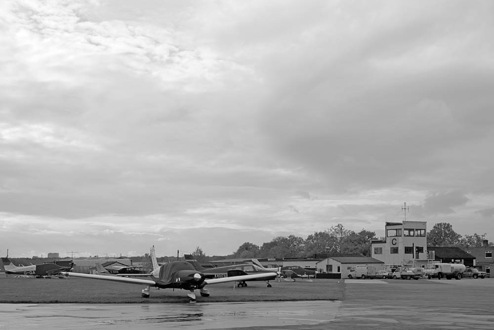
Fairoaks Airport

Fairoaks Airport (ICAO: EGTF) is a general aviation airport between Chobham and Chertsey in Surrey, England. It is 2 NM (3.7 km; 2.3 mi) north of Woking...

Nearby Amenities

Located within 500m of 51.342603,-0.54824768
Crossing
Bicycle: yes
Crossing: uncontrolled
Crossing Island: yes
Kerb: lowered
Sloped Curb: yes
Lat/Long: 51.3429429/-0.5416289
Crossing
Bicycle: yes
Crossing: uncontrolled
Crossing Island: yes
Kerb: lowered
Sloped Curb: yes
Lat/Long: 51.3433601/-0.5421768
Crossing
Bicycle: yes
Crossing: unmarked
Kerb: lowered
Sloped Curb: yes
Lat/Long: 51.3401589/-0.5429841
Crossing
Bicycle: yes
Crossing: unmarked
Kerb: lowered
Sloped Curb: yes
Lat/Long: 51.34052/-0.5428471
Crossing
Bicycle: yes
Crossing: uncontrolled
Crossing Island: yes
Kerb: lowered
Sloped Curb: yes
Lat/Long: 51.3433696/-0.5420047
Crossing
Bicycle: yes
Crossing: uncontrolled
Crossing Island: yes
Kerb: lowered
Sloped Curb: yes
Lat/Long: 51.3431797/-0.5425433
Crossing
Bicycle: yes
Crossing: uncontrolled
Crossing Island: yes
Kerb: lowered
Sloped Curb: yes
Lat/Long: 51.3430765/-0.5425892
Crossing
Bicycle: yes
Crossing: uncontrolled
Crossing Island: yes
Kerb: lowered
Sloped Curb: yes
Lat/Long: 51.3430518/-0.5415914
Crossing
Bicycle: yes
Crossing: unmarked
Kerb: lowered
Sloped Curb: yes
Lat/Long: 51.3407821/-0.5427348
Crossing
Bicycle: yes
Crossing: unmarked
Kerb: lowered
Sloped Curb: yes
Lat/Long: 51.3397332/-0.5431202
Crossing
Bicycle: yes
Crossing: uncontrolled
Crossing Island: yes
Kerb: lowered
Sloped Curb: yes
Lat/Long: 51.3427568/-0.542136
Crossing
Bicycle: yes
Crossing: uncontrolled
Crossing Island: yes
Kerb: lowered
Sloped Curb: yes
Lat/Long: 51.3427682/-0.5419306
Bus Stop
McLaren
Public Transport: platform
Shelter: no
Lat/Long: 51.3439311/-0.5418916
Bus Stop
McLaren
Naptan AtcoCode: 40004401099A
Naptan NaptanCode: surwpwga
Public Transport: platform
Shelter: no
Lat/Long: 51.3441798/-0.5420543
Bench
Lat/Long: 51.3451643/-0.5518317
The data included in this document is from www.openstreetmap.org. The data is made available under ODbL.

Have you been to Danewell Hill?

Leave your review of Danewell Hill below (or comments, questions and feedback).