Cabbage Hill
Hill, Mountain in Lincolnshire South Kesteven
England
Cabbage Hill
Cabbage Hill is a small hill located in the county of Lincolnshire, England. It is situated in the southern part of the county, near the town of Grantham. Despite its name, Cabbage Hill is not particularly notable for its agricultural activities or for any association with cabbage farming.
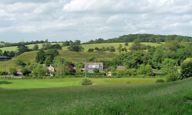
The hill itself is relatively small, reaching an elevation of only around 100 meters (328 feet). It is part of the Lincolnshire Wolds, a range of low hills and valleys that stretch across the eastern part of the county. Cabbage Hill is characterized by its gentle slopes covered in lush green grass, typical of the rolling landscape of the area.
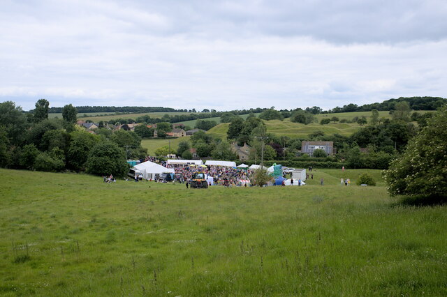
The hill offers picturesque views of the surrounding countryside, with its meandering streams, scattered woodlands, and patchwork fields. It serves as a popular spot for locals and visitors alike to enjoy outdoor activities such as hiking, walking, and picnicking. The peaceful ambiance and scenic beauty of Cabbage Hill make it an ideal destination for nature enthusiasts and those seeking a tranquil escape from the bustle of city life.
Cabbage Hill is easily accessible by road, with nearby parking facilities available for visitors. It is also conveniently located within a short distance of other attractions in the area, such as the historic town of Grantham and its notable landmarks, including Grantham House and St. Wulfram's Church.
In conclusion, Cabbage Hill is a charming and scenic spot in Lincolnshire, offering beautiful views and a peaceful atmosphere for outdoor activities and relaxation.
If you have any feedback on the listing, please let us know in the comments section below.
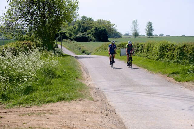
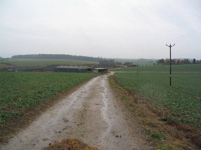
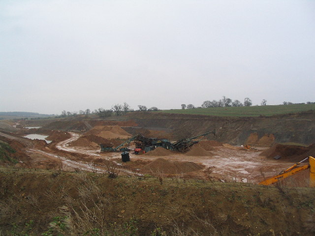
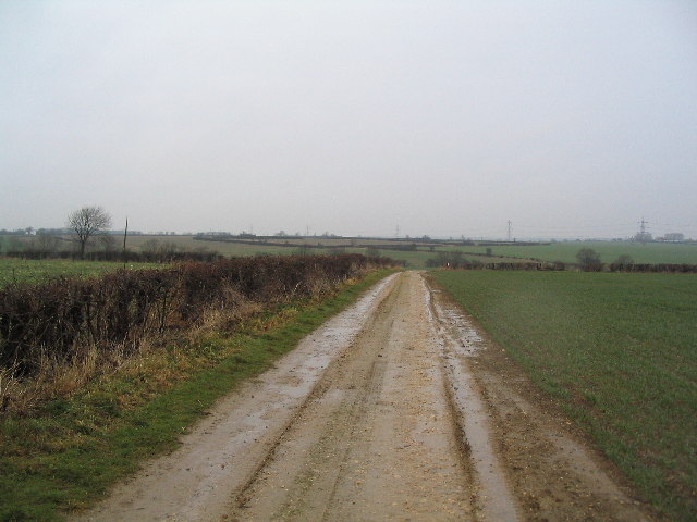
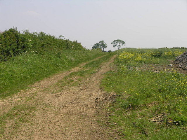
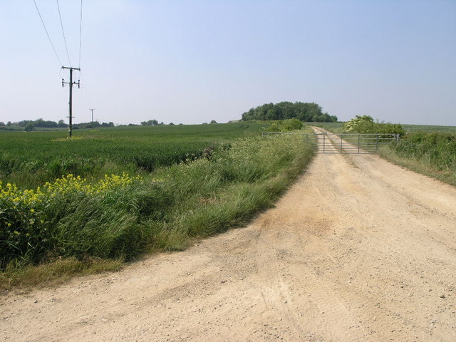
Cabbage Hill Images
Images are sourced within 2km of 52.769495/-0.54222899 or Grid Reference SK9820. Thanks to Geograph Open Source API. All images are credited.


Cabbage Hill is located at Grid Ref: SK9820 (Lat: 52.769495, Lng: -0.54222899)
Administrative County: Lincolnshire
District: South Kesteven
Police Authority: Lincolnshire
What 3 Words
///onions.blotting.stocks. Near Clipsham, Rutland
Nearby Locations
Related Wikis
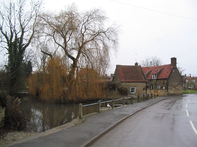
Castle Bytham
Castle Bytham is a village and civil parish of around 300 houses in South Kesteven, Lincolnshire, England. It is located 9 miles (14 km) north of Stamford...
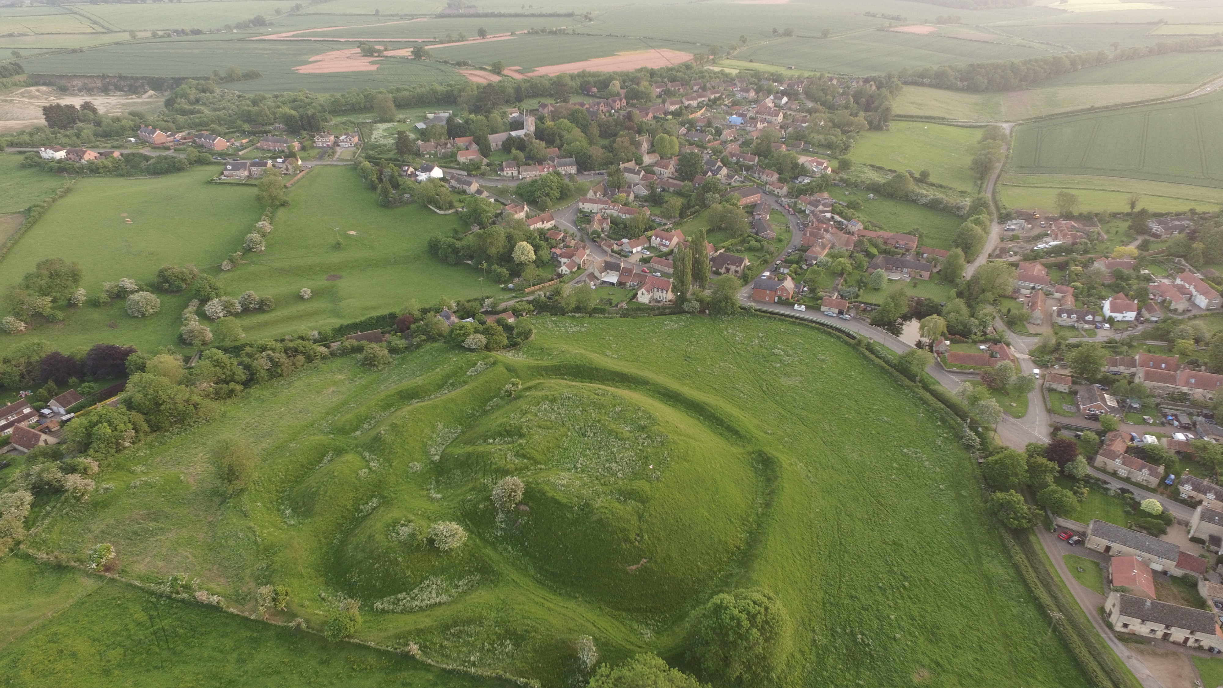
Bytham Castle
Bytham Castle was a castle in the village of Castle Bytham in Lincolnshire (grid reference SK992186.) The castle is thought to be of early Norman origin...
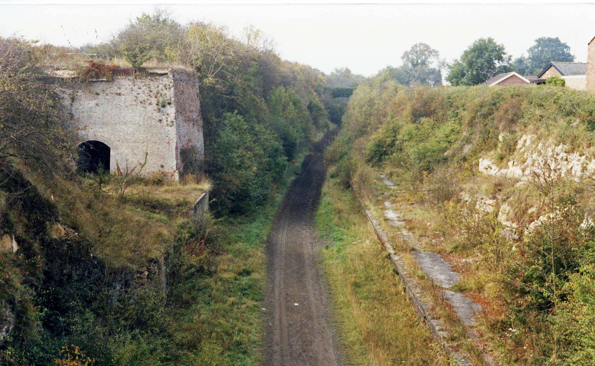
Castle Bytham railway station
Castle Bytham railway station was a station in Castle Bytham. It was Midland Railway property but train services were operated by the Midland and Great...
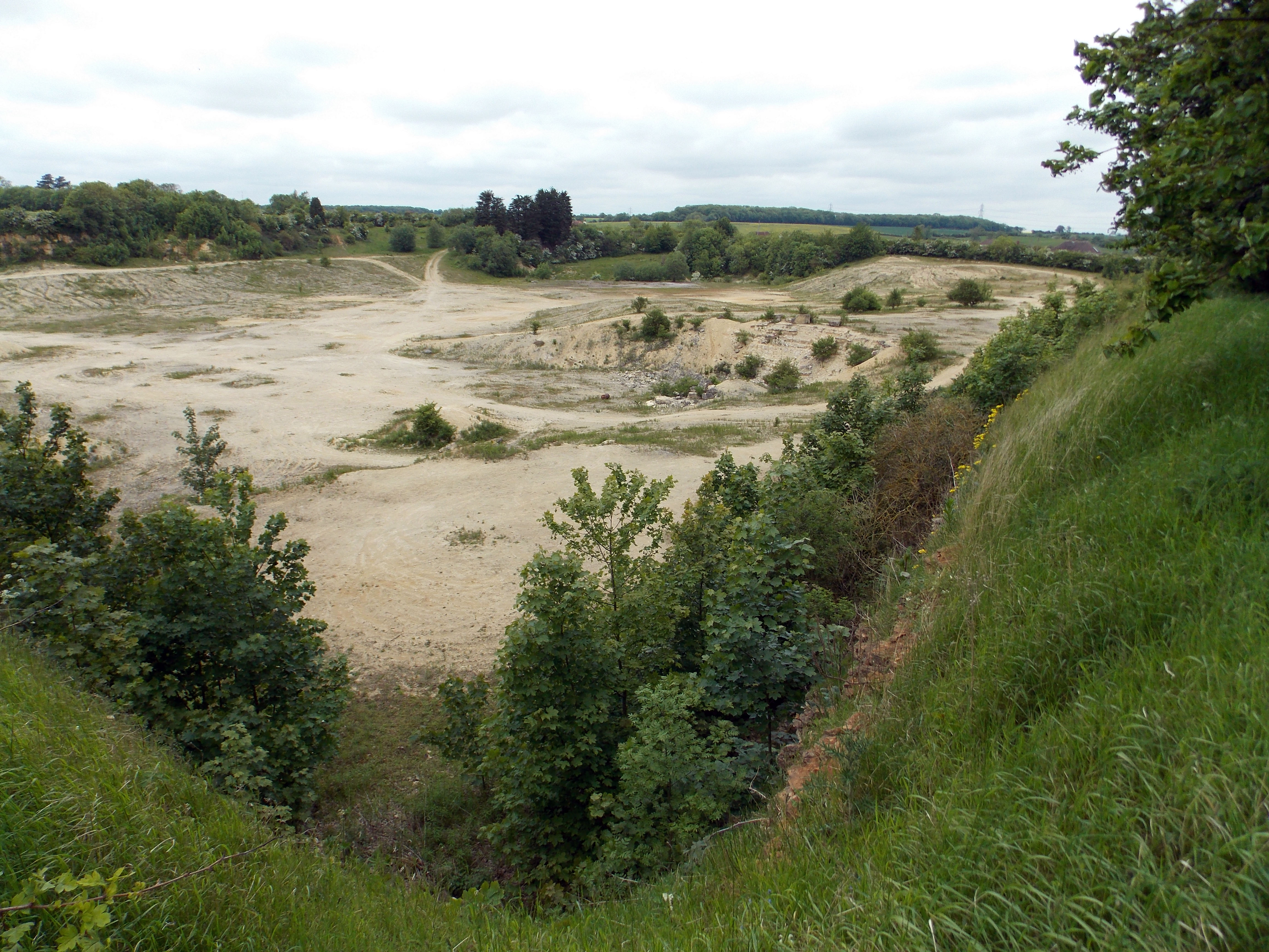
Castle Bytham Quarry
Castle Bytham quarry is a disused quarry located close to the centre of the village of Castle Bytham, Lincolnshire, England. It is famous for the exposure...
Related Videos

A walk in Morkery Wood (Lincolnshire / Woodland Trust )
Filmed at Morkery Wood Kesteven Forest Former RAF base 5 miles west of Castle Bytham.
Nearby Amenities
Located within 500m of 52.769495,-0.54222899Have you been to Cabbage Hill?
Leave your review of Cabbage Hill below (or comments, questions and feedback).