Squirrels' Hill
Hill, Mountain in Surrey Waverley
England
Squirrels' Hill

Squirrels' Hill is a prominent geographical feature located in Surrey, England. Despite its name, Squirrels' Hill is not a hill in the traditional sense but rather a small peak, often referred to as a mountain due to its impressive height. Rising approximately 350 meters above sea level, it offers stunning panoramic views of the surrounding countryside.
Situated in the picturesque Surrey Hills Area of Outstanding Natural Beauty, Squirrels' Hill is covered in dense woodland, predominantly oak and beech trees, providing a habitat for a diverse range of wildlife, including the native red squirrels that inspired its name.
The hill is a popular destination for outdoor enthusiasts, attracting hikers, nature lovers, and photographers alike. Its well-maintained footpaths and trails cater to all levels of fitness and offer a variety of routes to explore the area. Visitors can enjoy leisurely walks through the enchanting woodland, taking in the sights and sounds of nature, or challenge themselves with more strenuous hikes to the summit for breathtaking vistas.
Squirrels' Hill is also of historical significance, with evidence suggesting human habitation in the area stretching back thousands of years. Archaeological finds, including ancient burial mounds and artifacts, have been discovered nearby, adding to the hill's allure for those fascinated by the past.
With its natural beauty, recreational opportunities, and cultural heritage, Squirrels' Hill continues to captivate locals and visitors, making it a cherished gem in the Surrey countryside.
If you have any feedback on the listing, please let us know in the comments section below.
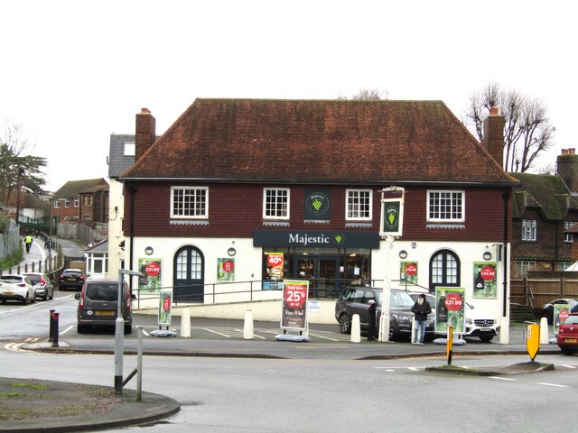
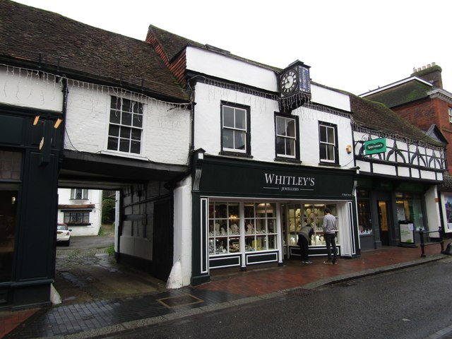
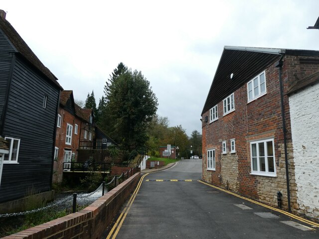
Squirrels' Hill Images
Images are sourced within 2km of 51.180485/-0.59373505 or Grid Reference SU9843. Thanks to Geograph Open Source API. All images are credited.


Squirrels' Hill is located at Grid Ref: SU9843 (Lat: 51.180485, Lng: -0.59373505)
Administrative County: Surrey
District: Waverley
Police Authority: Surrey
What 3 Words
///weedy.nodded.chop. Near Godalming, Surrey
Nearby Locations
Related Wikis

Munstead Wood
Munstead Wood is a Grade I listed house and garden in Munstead Heath, Busbridge on the boundary of the town of Godalming in Surrey, England, 1 mile (1...

Jekyll Memorial, Busbridge
The Jekyll Memorial, Busbridge, Surrey, England, commemorates the gardener Gertrude Jekyll and members of her family. Designed by Jekyll's friend and collaborator...

Busbridge Church
Busbridge Church or St John the Baptist Church, is an evangelical Anglican Church in Busbridge, Godalming, England. Busbridge Church is part of a joint...
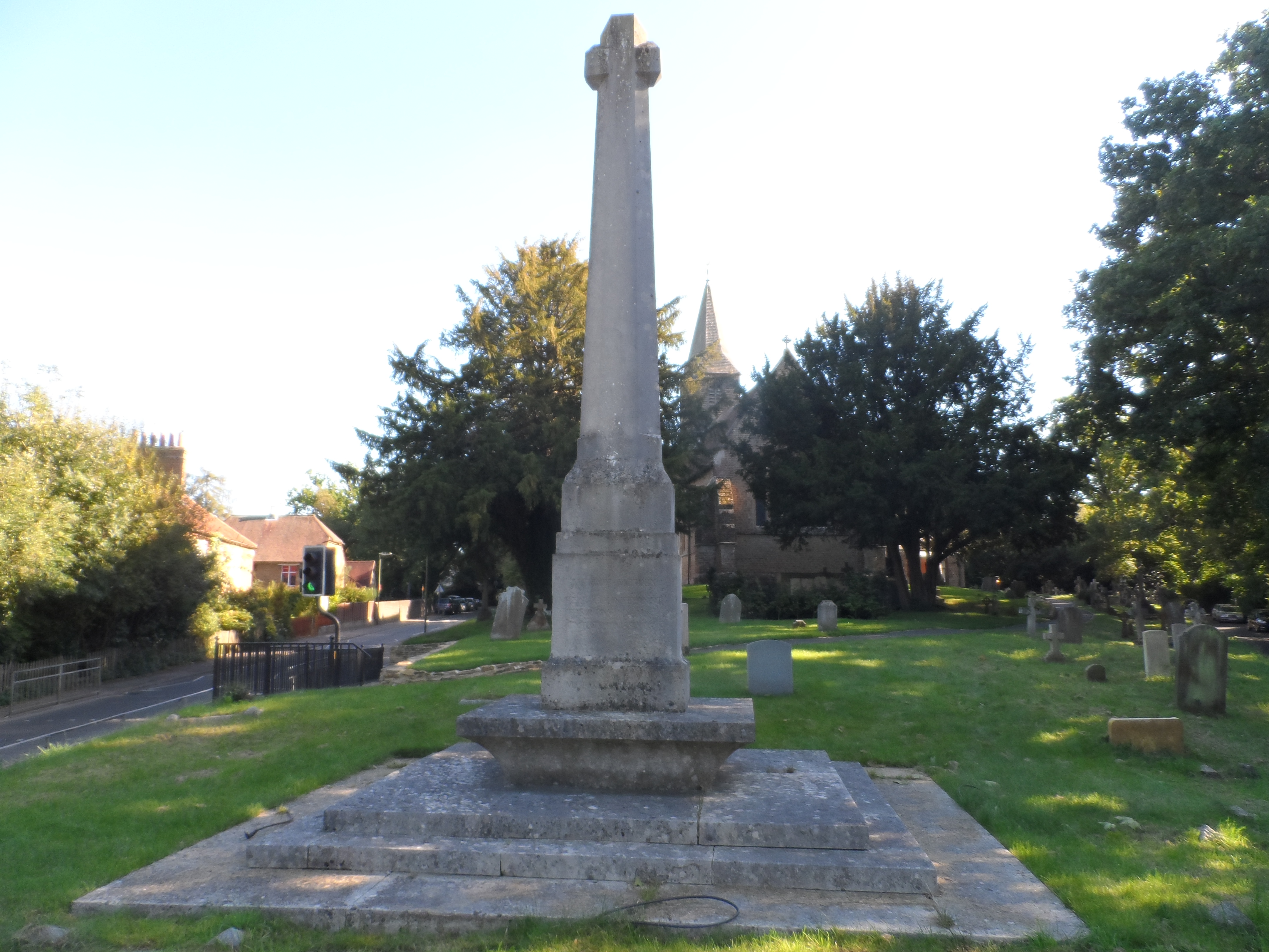
Busbridge War Memorial
Busbridge War Memorial is a First World War memorial in the churchyard of St John's Church in village of Busbridge in Surrey, south-eastern England. Designed...

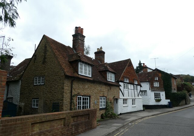
Busbridge
Busbridge is a village and civil parish in the borough of Waverley in Surrey, England that adjoins the town of Godalming. It forms part of the Waverley...

Orchards, Surrey
Orchards is an Arts and Crafts style house in Bramley in Surrey, England. It is on Bramley's boundary with Busbridge and 1 mile (1.6 km) south-east of...
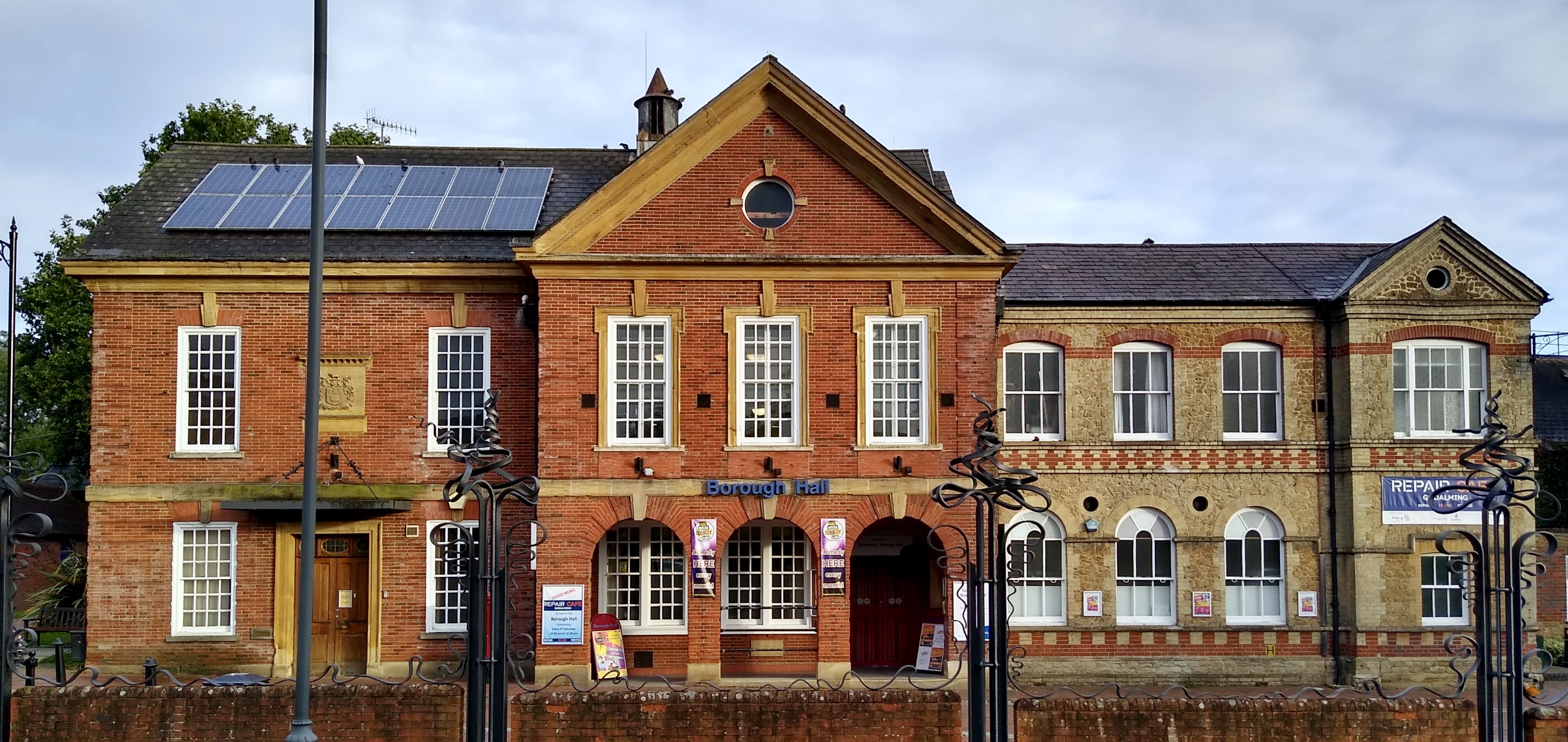
Godalming Borough Hall
Godalming Borough Hall is a municipal building in Bridge Street in Godalming, England. The building is the meeting place of Godalming Town Council. �...

Godalming Congregational Church
The building formerly known as Godalming Congregational Church was the Congregational chapel serving the ancient town of Godalming, in the English county...
Related Videos
![[UK] 🇬🇧 Winkworth Hiking Promo - Autumn 🍂🍁 Colors](https://i.ytimg.com/vi/xymYO1twljg/hqdefault.jpg)
[UK] 🇬🇧 Winkworth Hiking Promo - Autumn 🍂🍁 Colors
Welcome ! Thanks for joining with me (Pādachāri) to explore the world with my eyes. Let's explore together. Do share your ...

Welcome to UK Tourism Online!
Welcome to UK Tourism Online South East England! Within this channel you'll find many playlists about accommodation, ...

Travel and Tourism BTEC Level 3
Welcome to an overview of the BTEC in Travel and Tourism course at Godalming College.

Seven Sisters Cliffs Seaford Eastbourne | 🇬🇧 Hiking UK | England
The best walk in the Southeast! A dramatic cliff walk passing Cuckemere Haven, the Seven Sisters and Beachy Head as the South ...
Nearby Amenities
Located within 500m of 51.180485,-0.59373505Have you been to Squirrels' Hill?
Leave your review of Squirrels' Hill below (or comments, questions and feedback).