Calf Paddock
Downs, Moorland in Surrey Waverley
England
Calf Paddock
Calf Paddock, Surrey, is a picturesque area located in the southeastern region of England. It encompasses a diverse landscape, consisting of expansive downs and moorland. The paddock is known for its natural beauty, offering breathtaking views of rolling hills, open fields, and lush greenery.
The downs of Calf Paddock are characterized by their wide, gently sloping hills, which are covered in a variety of grasses and wildflowers. The area is home to several species of wildlife, including rabbits, deer, and a plethora of bird species. Visitors can enjoy leisurely walks or hikes along the well-maintained trails that crisscross the downs, taking in the stunning vistas and observing the abundant wildlife.
The moorland of Calf Paddock is a unique feature of the area, offering a distinct and contrasting landscape. Here, visitors can find expanses of heather-covered hills, interspersed with patches of rocky outcrops. The moorland provides a habitat for a range of plant and animal species, including heather, gorse, and various bird species such as skylarks and kestrels.
Calf Paddock is a popular destination for nature enthusiasts, hikers, and photographers, as it offers ample opportunities to explore and capture the natural beauty of the Surrey countryside. The area is also well-regarded for its tranquility and peaceful atmosphere, making it an ideal spot for relaxation and contemplation.
In summary, Calf Paddock, Surrey, is a captivating landscape that showcases the beauty of downs and moorland. With its stunning vistas, diverse wildlife, and serene ambiance, it is a haven for those seeking a connection with nature.
If you have any feedback on the listing, please let us know in the comments section below.
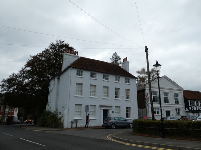
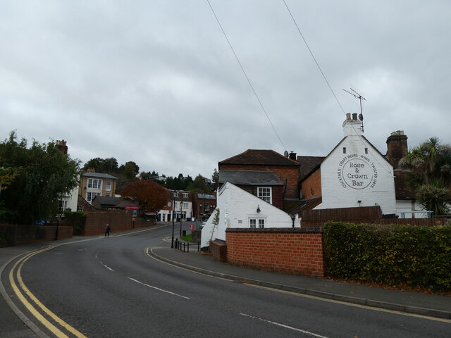
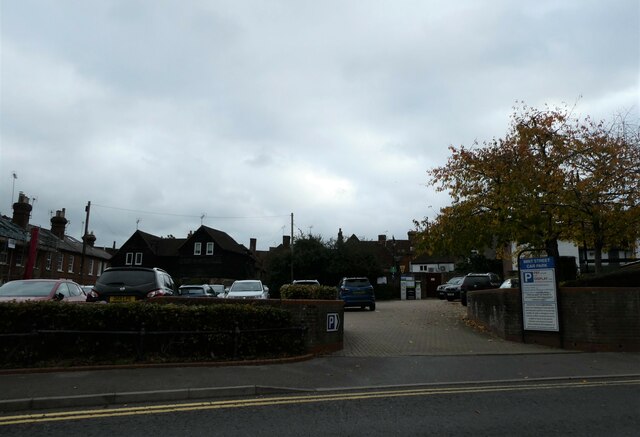
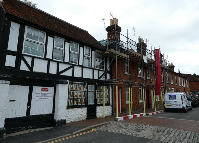
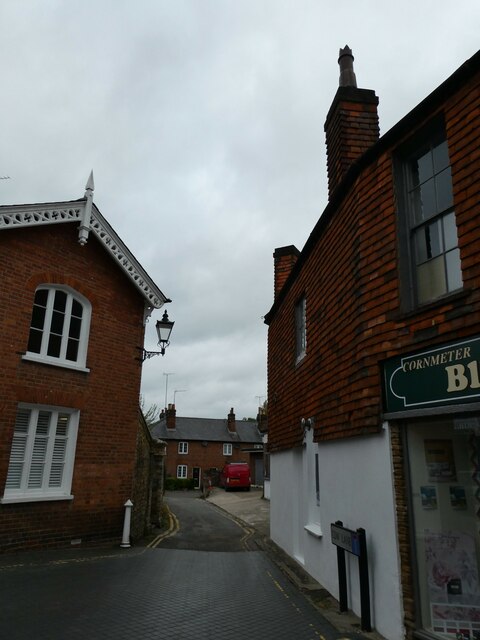
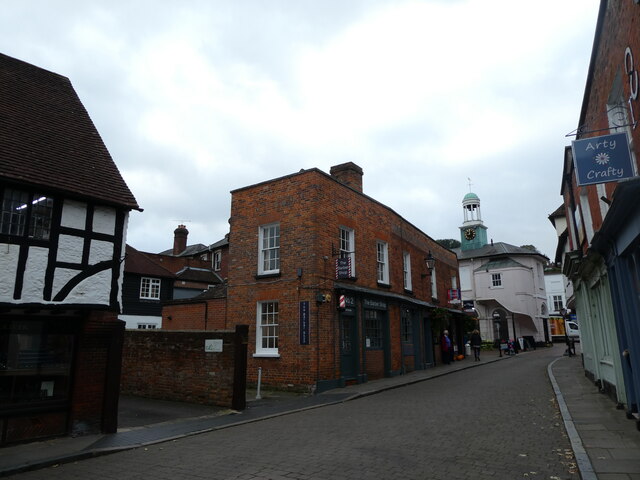
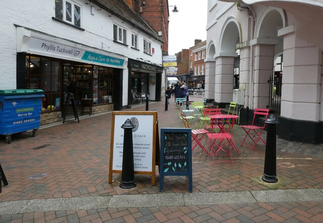
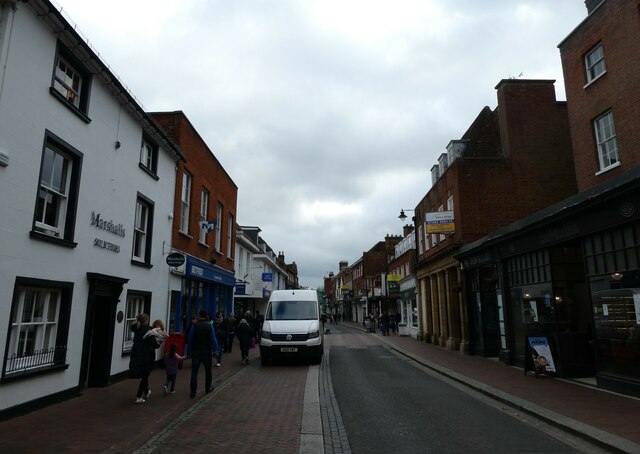
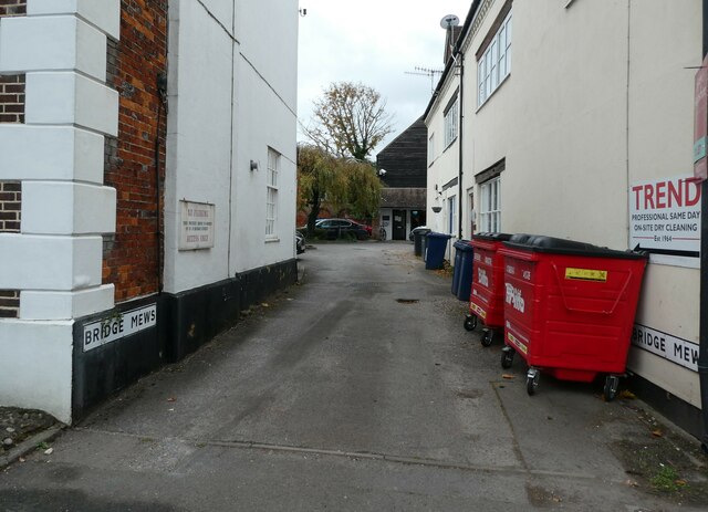
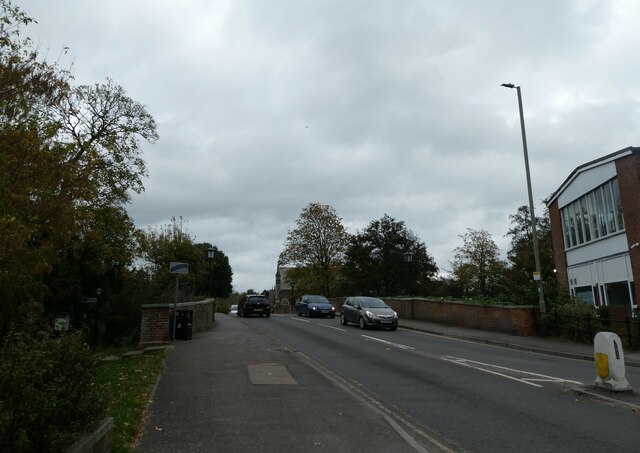
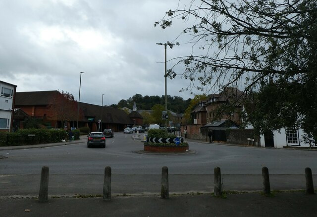
Calf Paddock Images
Images are sourced within 2km of 51.179324/-0.58987891 or Grid Reference SU9843. Thanks to Geograph Open Source API. All images are credited.


Calf Paddock is located at Grid Ref: SU9843 (Lat: 51.179324, Lng: -0.58987891)
Administrative County: Surrey
District: Waverley
Police Authority: Surrey
What 3 Words
///appeal.urban.candy. Near Godalming, Surrey
Nearby Locations
Related Wikis

Orchards, Surrey
Orchards is an Arts and Crafts style house in Bramley in Surrey, England. It is on Bramley's boundary with Busbridge and 1 mile (1.6 km) south-east of...

Munstead Wood
Munstead Wood is a Grade I listed house and garden in Munstead Heath, Busbridge on the boundary of the town of Godalming in Surrey, England, 1 mile (1...

Jekyll Memorial, Busbridge
The Jekyll Memorial, Busbridge, Surrey, England, commemorates the gardener Gertrude Jekyll and members of her family. Designed by Jekyll's friend and collaborator...

Busbridge Church
Busbridge Church or St John the Baptist Church, is an evangelical Anglican Church in Busbridge, Godalming, England. Busbridge Church is part of a joint...
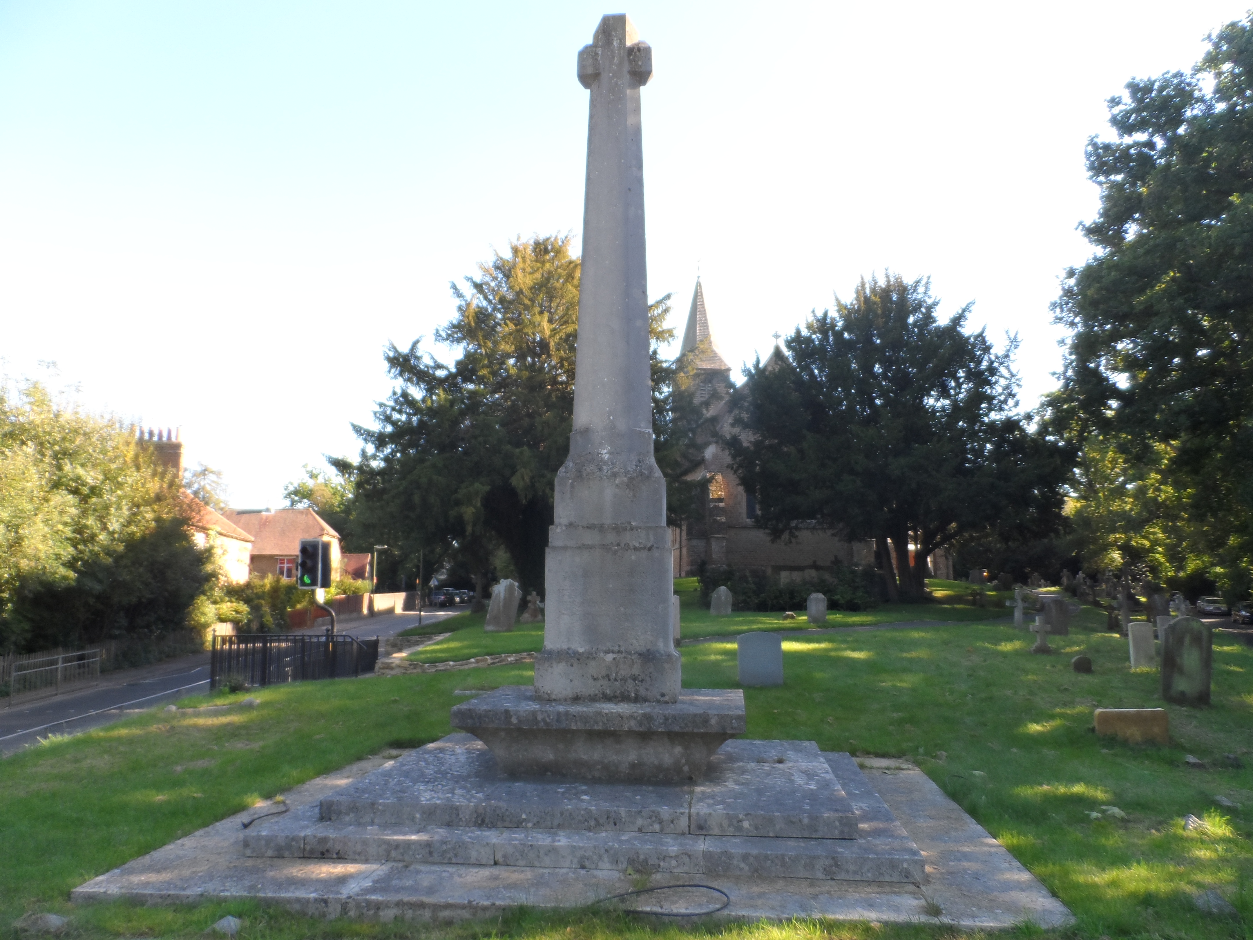
Busbridge War Memorial
Busbridge War Memorial is a First World War memorial in the churchyard of St John's Church in village of Busbridge in Surrey, south-eastern England. Designed...

Busbridge
Busbridge is a village and civil parish in the borough of Waverley in Surrey, England that adjoins the town of Godalming. It forms part of the Waverley...
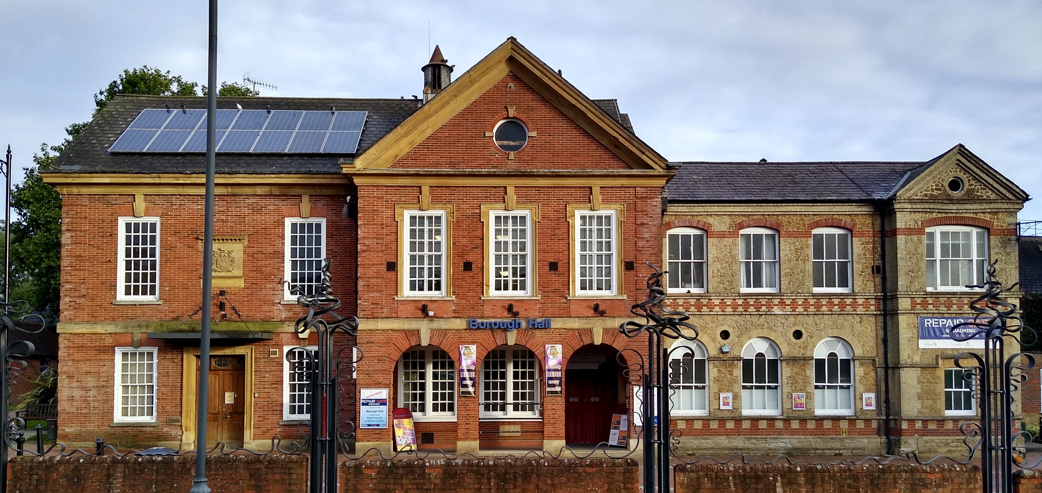
Godalming Borough Hall
Godalming Borough Hall is a municipal building in Bridge Street in Godalming, England. The building is the meeting place of Godalming Town Council. �...

Godalming Congregational Church
The building formerly known as Godalming Congregational Church was the Congregational chapel serving the ancient town of Godalming, in the English county...
Related Videos
![[UK] 🇬🇧 Winkworth Hiking Promo - Autumn 🍂🍁 Colors](https://i.ytimg.com/vi/xymYO1twljg/hqdefault.jpg)
[UK] 🇬🇧 Winkworth Hiking Promo - Autumn 🍂🍁 Colors
Welcome ! Thanks for joining with me (Pādachāri) to explore the world with my eyes. Let's explore together. Do share your ...

Welcome to UK Tourism Online!
Welcome to UK Tourism Online South East England! Within this channel you'll find many playlists about accommodation, ...

Travel and Tourism BTEC Level 3
Welcome to an overview of the BTEC in Travel and Tourism course at Godalming College.

Seven Sisters Cliffs Seaford Eastbourne | 🇬🇧 Hiking UK | England
The best walk in the Southeast! A dramatic cliff walk passing Cuckemere Haven, the Seven Sisters and Beachy Head as the South ...
Nearby Amenities
Located within 500m of 51.179324,-0.58987891Have you been to Calf Paddock?
Leave your review of Calf Paddock below (or comments, questions and feedback).