Jordan Hill

Hill, Mountain in Surrey Guildford

England

Jordan Hill

Holly Lane, south from Worplesdon
Holly Lane, south from Worplesdon Credit: Robin Webster

Jordan Hill is a prominent geographical feature located in Surrey, England. It is a hill or mountain, depending on the classification used, and is situated in the southeastern part of the county.

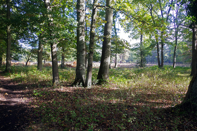
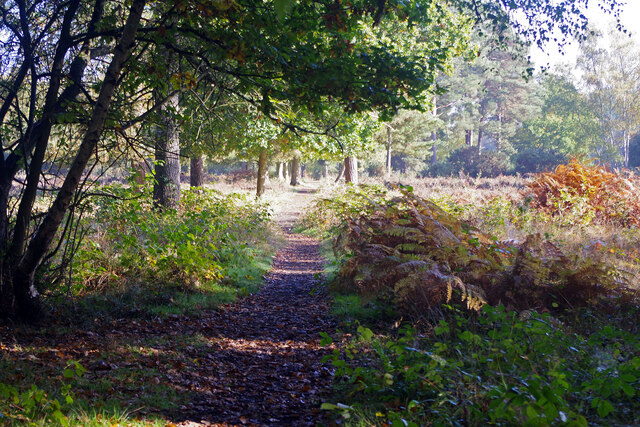
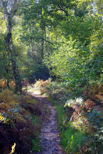
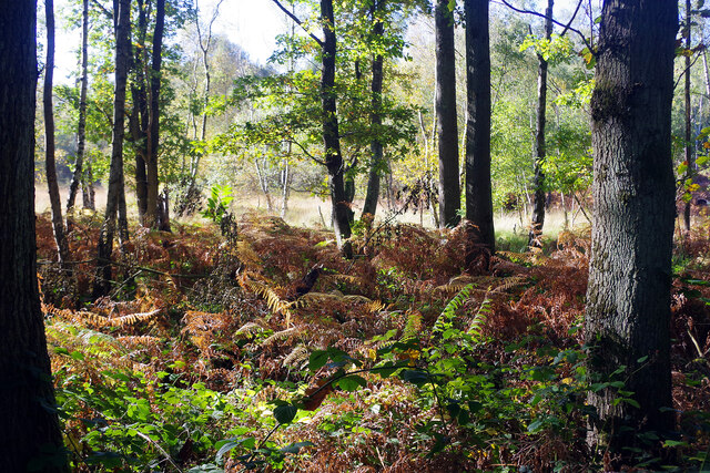
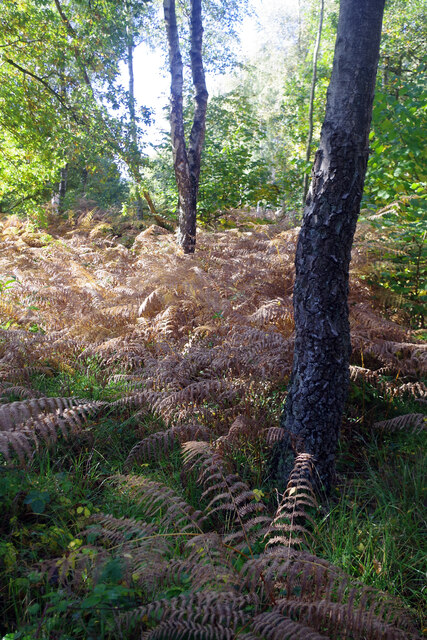
Standing at an elevation of approximately 400 feet, Jordan Hill offers breathtaking panoramic views of the surrounding countryside. It is part of the North Downs, a range of chalk hills that stretches across Surrey and Kent. The hill is covered in lush green vegetation, with trees dotting the landscape, providing a tranquil and picturesque setting.

The area surrounding Jordan Hill is known for its rich history, with evidence of human settlement dating back thousands of years. Archaeological discoveries have unearthed remnants from the Iron Age, Roman, and medieval periods, highlighting the significance of the area throughout history.

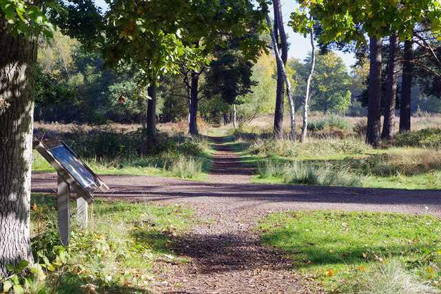
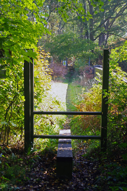
Jordan Hill is also known for its diverse wildlife and natural beauty. The hill is home to a variety of plant and animal species, making it a popular destination for nature enthusiasts and hikers. Visitors can explore the numerous walking trails that wind through the hill, allowing them to immerse themselves in the serenity of the countryside.

In addition to its natural attractions, Jordan Hill offers recreational facilities for outdoor activities such as picnicking, birdwatching, and photography. The hill is easily accessible by road and is located in close proximity to several charming villages and towns, providing opportunities for further exploration and enjoyment.

Overall, Jordan Hill stands as a remarkable geographical feature in Surrey, offering a blend of natural beauty, historical significance, and recreational opportunities for visitors to enjoy.

If you have any feedback on the listing, please let us know in the comments section below.
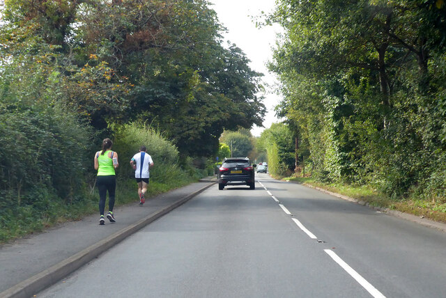
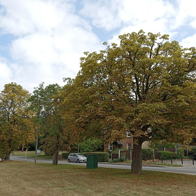
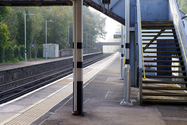
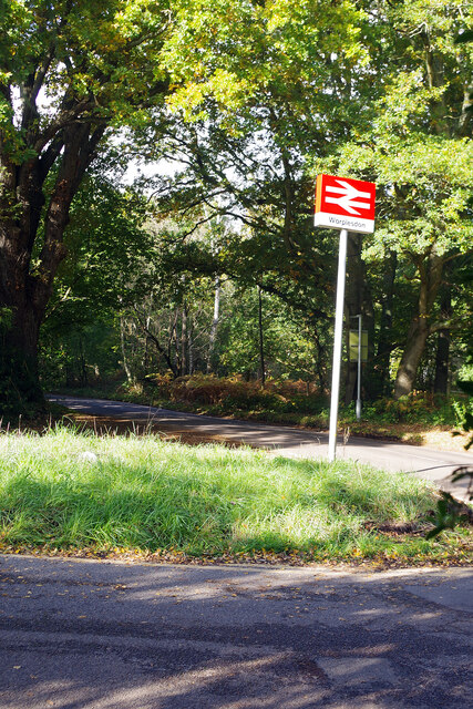
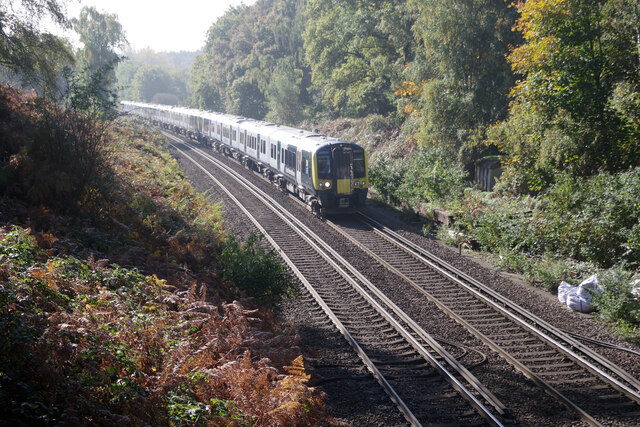
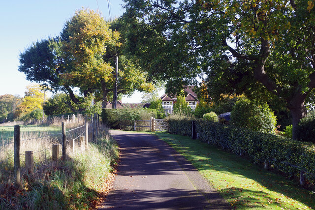
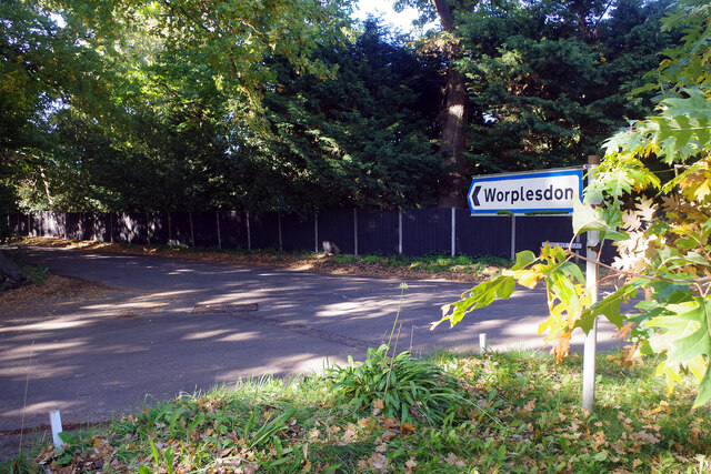
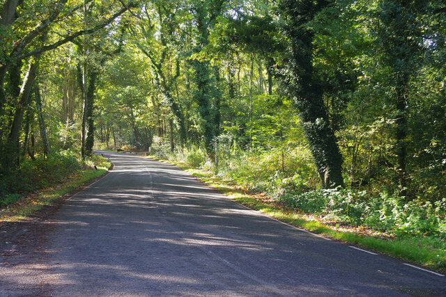
Jordan Hill Images

Images are sourced within 2km of 51.278864/-0.60135773 or Grid Reference SU9754. Thanks to Geograph Open Source API. All images are credited.

Holly Lane, south from Worplesdon
Looking autumnal, but then they would These conker trees at Worplesden do look the part, but my mother tells me horse chestnuts are always the first to turn...
Looking autumnal, but then they would
These conker trees at Worplesden do look the part, but my mother tells me horse chestnuts are always the first to turn...
Worplesdon Station Worplesdon station was built between Woking and Guildford in 1883. The surrounding area has remained largely rural although there are some large houses within walking distance. It is therefore a quiet place for most of the day but nevertheless enjoys an hourly off-peak service in either direction. In this view, looking towards Guildford, the platforms are deserted and there is a hint of morning mist through the bridge (which was soon to clear leaving a bright sunny day).
Worplesdon Station
Worplesdon station was built between Woking and Guildford in 1883. The surrounding area has remained largely rural although there are some large houses within walking distance. It is therefore a quiet place for most of the day but nevertheless enjoys an hourly off-peak service in either direction. In this view, looking towards Guildford, the platforms are deserted and there is a hint of morning mist through the bridge (which was soon to clear leaving a bright sunny day).
Outside Worplesdon Station Worplesdon station is approached via a short drive leading off Prey Heath Road. At the junction the National Rail sign leans at a jaunty angle.
Outside Worplesdon Station
Worplesdon station is approached via a short drive leading off Prey Heath Road. At the junction the National Rail sign leans at a jaunty angle.
Prey Heath Prey Heath is bisected by the Woking to Guildford railway line and this is the area to the east of it. A path leads off Prey Heath Road at first in a northerly direction before making a dogleg turn across the heath; this is a convenient point of access from Worplesdon station.
Prey Heath
Prey Heath is bisected by the Woking to Guildford railway line and this is the area to the east of it. A path leads off Prey Heath Road at first in a northerly direction before making a dogleg turn across the heath; this is a convenient point of access from Worplesdon station.
Path across Prey Heath A public footpath heads in a north-easterly direction across this surviving stretch of Surrey heathland.
Path across Prey Heath
A public footpath heads in a north-easterly direction across this surviving stretch of Surrey heathland.
Prey Heath This is part of the eastern section of the heath, east of the Woking to Guildford railway line. The information board makes the point that the scene is always changing across the year.
Prey Heath
This is part of the eastern section of the heath, east of the Woking to Guildford railway line. The information board makes the point that the scene is always changing across the year.
Path to Havering Farm This public footpath, effectively an extension of Burdenshot Hill, leads across the stile and then over the Woking to Guildford railway.
Path to Havering Farm
This public footpath, effectively an extension of Burdenshot Hill, leads across the stile and then over the Woking to Guildford railway.
Railway south of Worplesdon A Portsmouth to London Waterloo train approaches Worplesdon at speed on the Portsmouth Direct Line.
Railway south of Worplesdon
A Portsmouth to London Waterloo train approaches Worplesdon at speed on the Portsmouth Direct Line.
Burdenshot Hill, Worplesdon Burdenshot Hill is a private road to the north east of Worplesdon village lined with some very large houses. The one in view here is called Oakhanger. From the end of this road a path leads to Worplesdon station.
Burdenshot Hill, Worplesdon
Burdenshot Hill is a private road to the north east of Worplesdon village lined with some very large houses. The one in view here is called Oakhanger. From the end of this road a path leads to Worplesdon station.
The way to Worplesdon Motorists are directed down Goose Rye Road to Worplesdon village. Worplesdon was recorded in the Domesday Book as Werpesdune and there is evidence that the area was settled in Roman times; the Goose Rye name is derived from a local farm.
The way to Worplesdon
Motorists are directed down Goose Rye Road to Worplesdon village. Worplesdon was recorded in the Domesday Book as Werpesdune and there is evidence that the area was settled in Roman times; the Goose Rye name is derived from a local farm.
Goose Rye Road, Worplesdon Goose Rye Road passes through a thickly wooded area on its approach to Worplesdon village. In the 19th century this was common heathland used for grazing animals.
Goose Rye Road, Worplesdon
Goose Rye Road passes through a thickly wooded area on its approach to Worplesdon village. In the 19th century this was common heathland used for grazing animals.
Path towards Jordan Hill This footpath heads intriguingly into this stretch of woodland that forms the northern part of the Whitmoor Common Site of Special Scientific Interest.
Path towards Jordan Hill
This footpath heads intriguingly into this stretch of woodland that forms the northern part of the Whitmoor Common Site of Special Scientific Interest.
Whitmoor Common Woodland, part of Whitmoor Common Site of Special Scientific Interest, seen from the track south of Goose Rye Road and Gosling Cottage.
Whitmoor Common
Woodland, part of Whitmoor Common Site of Special Scientific Interest, seen from the track south of Goose Rye Road and Gosling Cottage.
Whitmoor Common Whitmoor Common is designated a Site of Special Scientific Interest covering 166 hectares (410 acres). It includes heathland and woodland; a network of paths makes it easily accessible to the public. Although the practice has long been discontinued, at one time bracken on the common was cut down in the autumn to provide winter bedding for farm animals.
Whitmoor Common
Whitmoor Common is designated a Site of Special Scientific Interest covering 166 hectares (410 acres). It includes heathland and woodland; a network of paths makes it easily accessible to the public. Although the practice has long been discontinued, at one time bracken on the common was cut down in the autumn to provide winter bedding for farm animals.
Worplesdon Station A non-stopping London Waterloo to Haslemere train passes through Worplesdon station between Woking and Guildford on the Portsmouth Direct Line.
Worplesdon Station
A non-stopping London Waterloo to Haslemere train passes through Worplesdon station between Woking and Guildford on the Portsmouth Direct Line.
The Jolly Farmer, Worplesdon It is good to see a pub deep in the Surrey countryside that appears to be thriving. It was built in the mid 18th century and is now a Fuller's house with a beer garden to the rear. It stands adjacent to Whitmoor Common.
The Jolly Farmer, Worplesdon
It is good to see a pub deep in the Surrey countryside that appears to be thriving. It was built in the mid 18th century and is now a Fuller's house with a beer garden to the rear. It stands adjacent to Whitmoor Common.
The Jolly Farmer, Worplesdon - pub sign The artist for this Fuller's pub sign has chosen a curious image featuring an American tractor built by Case. For many years Case was a major manufacturer of agricultural machinery in the USA but the company did not enter the British market until it acquired David Brown Tractors of Yorkshire in the 1970s - long after the machine featured here would have been a museum piece.
The Jolly Farmer, Worplesdon - pub sign
The artist for this Fuller's pub sign has chosen a curious image featuring an American tractor built by Case. For many years Case was a major manufacturer of agricultural machinery in the USA but the company did not enter the British market until it acquired David Brown Tractors of Yorkshire in the 1970s - long after the machine featured here would have been a museum piece.
Show me another place!

Jordan Hill is located at Grid Ref: SU9754 (Lat: 51.278864, Lng: -0.60135773)

Administrative County: Surrey

District: Guildford

Police Authority: Surrey

What 3 Words

///forest.salads.verse. Near Fairlands, Surrey

Related Wikis

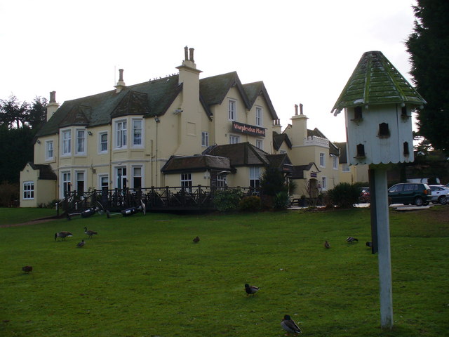
Worplesdon Place Hotel, Guildford

Worplesdon Place Hotel near Guildford, Surrey is a house of historical significance. It appears to have been built in about 1845 by Sir William Bovill...

Whitmoor Common

Whitmoor Common is a 166-hectare (410-acre) biological Site of Special Scientific Interest on the northern outskirts of Guildford in Surrey. It is part...

Worplesdon

Worplesdon is a village 3.1 miles (5.0 km) NNW of Guildford in Surrey, England and a large dispersed civil parish that includes the settlements of: Worplesdon...

Fox Corner Wildlife Area

Fox Corner Wildlife Area is a 6.2-hectare (15-acre) Local Nature Reserve south-west of Woking in Surrey. It is owned and managed by Guildford Borough Council...

Nearby Amenities

Located within 500m of 51.278864,-0.60135773
Jordan Hill
Building: yes
Source: photo
Lat/Long: 51.2750505/-0.5985956
Bench
Lat/Long: 51.2783123/-0.6006062
Jordan Hill
Natural: peak
Source: os_street_view
Lat/Long: 51.2781457/-0.6028343
Bench
Lat/Long: 51.2772927/-0.6004282
Give Way
Lat/Long: 51.2794145/-0.6053369
Give Way
Lat/Long: 51.2793871/-0.6052697
Give Way
Lat/Long: 51.2794432/-0.6051867
Barrier: bollard
Lat/Long: 51.2781419/-0.5982894
Barrier: bollard
Lat/Long: 51.2780552/-0.5982117
The data included in this document is from www.openstreetmap.org. The data is made available under ODbL.

Have you been to Jordan Hill?

Leave your review of Jordan Hill below (or comments, questions and feedback).