Peter's Hill

Hill, Mountain in Berkshire

England

Peter's Hill

The Long Walk, Windsor The Long Walk, leading to Windsor Castle.  This image was taken on a bright and sunny afternoon in late February.  Trees were bare for the winter months.
The Long Walk, Windsor Credit: Malc McDonald

Peter's Hill is a prominent geographical feature situated in the county of Berkshire, England. It is classified as a hill and is located in the southeastern part of the county, near the village of Lambourn. The hill is part of the North Wessex Downs Area of Outstanding Natural Beauty, making it a popular destination for nature enthusiasts and hikers.

Standing at an elevation of approximately 250 meters (820 feet), Peter's Hill offers breathtaking panoramic views of the surrounding countryside. On a clear day, visitors can admire the rolling green hills, picturesque valleys, and charming villages that dot the landscape. The hill itself is covered in lush grass and scattered with patches of wildflowers, adding to its natural beauty.

The area surrounding Peter's Hill is known for its rich history and archaeological significance. It is believed that the hill was inhabited by humans as far back as the Bronze Age, with remnants of ancient settlements and burial mounds discovered in the vicinity. This historical importance adds an extra layer of fascination to the hill and attracts those with an interest in archaeology and prehistoric cultures.

Peter's Hill is easily accessible by foot or by car, with a designated parking area at its base. Several walking trails traverse the hill, offering a variety of routes to explore the area. Whether one chooses a leisurely stroll or a more challenging hike, Peter's Hill provides an idyllic setting for outdoor activities and a chance to connect with nature in the heart of Berkshire.

If you have any feedback on the listing, please let us know in the comments section below.
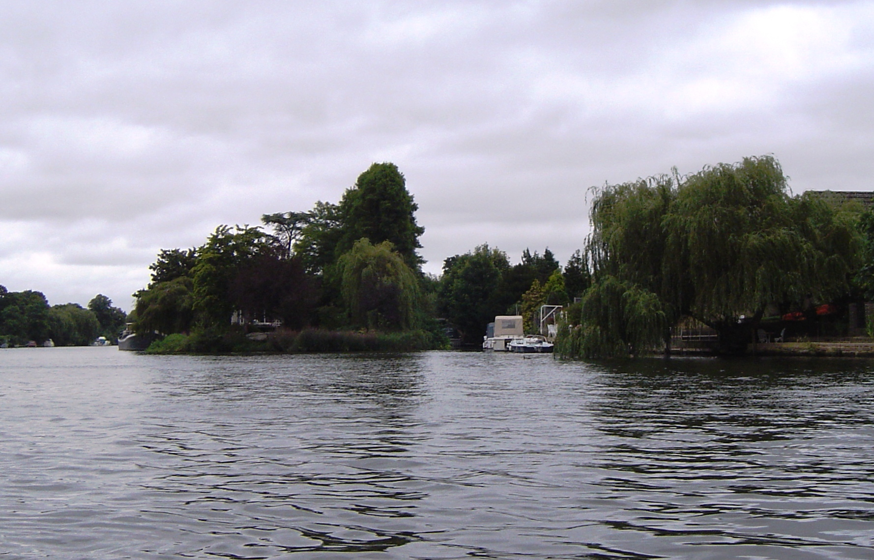
Peter's Hill Images

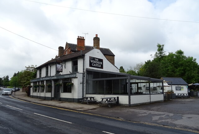
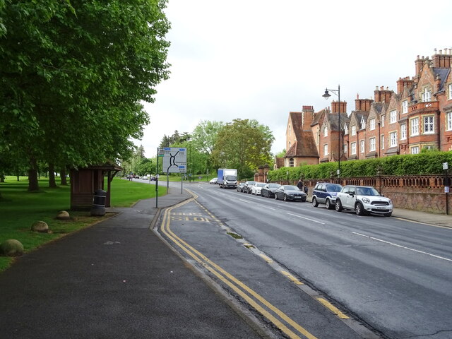
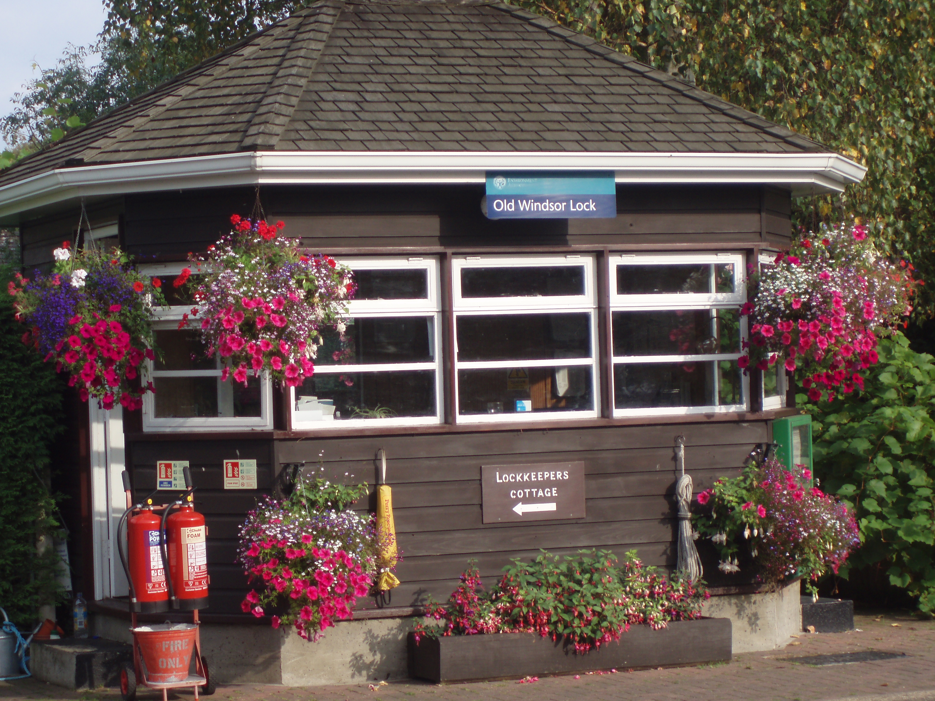
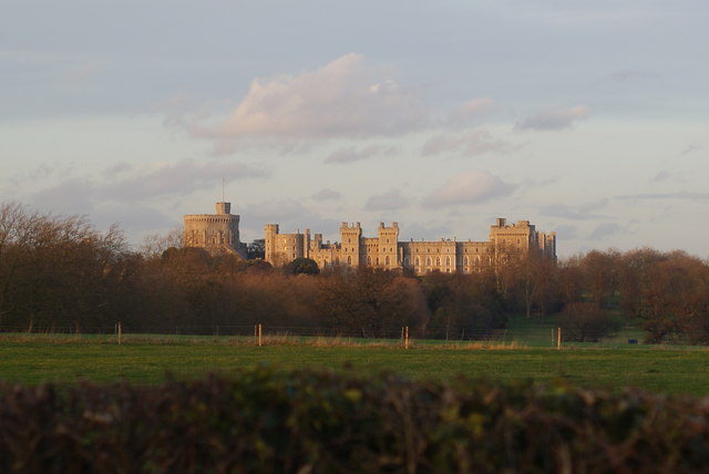
Images are sourced within 2km of 51.458356/-0.59661294 or Grid Reference SU9774. Thanks to Geograph Open Source API. All images are credited.

The Long Walk, Windsor The Long Walk, leading to Windsor Castle.  This image was taken on a bright and sunny afternoon in late February.  Trees were bare for the winter months.
The Long Walk, Windsor
The Long Walk, leading to Windsor Castle. This image was taken on a bright and sunny afternoon in late February. Trees were bare for the winter months.
The Long Walk, Windsor The Long Walk, leading into Windsor Great Park.

This image was taken during the late afternoon on a sunny February day.  Shadows were lengthening as the sun was low in the sky, while trees were bare for the winter season.
The Long Walk, Windsor
The Long Walk, leading into Windsor Great Park. This image was taken during the late afternoon on a sunny February day. Shadows were lengthening as the sun was low in the sky, while trees were bare for the winter season.
Queen Anne's Road, Windsor Queen Anne's Road is a private road in Windsor.  The road forms part of the Crown Estate.
Queen Anne's Road, Windsor
Queen Anne's Road is a private road in Windsor. The road forms part of the Crown Estate.
Queen's Gate, Windsor Cottages at Queen's Gate on the outskirts of Windsor.
Queen's Gate, Windsor
Cottages at Queen's Gate on the outskirts of Windsor.
King's Road, Windsor King's Road entering the town of Windsor.  This road forms part of the route of the A332.
King's Road, Windsor
King's Road entering the town of Windsor. This road forms part of the route of the A332.
A332 road, Windsor Great Park The A332 road entering Windsor Great Park.  Here the speed limit changes to 50 miles per hour through the park.

This photo was taken in the late afternoon on a bright and sunny February day.  The sun was low in the sky, casting long shadows, while the trees were bare for the winter months.
A332 road, Windsor Great Park
The A332 road entering Windsor Great Park. Here the speed limit changes to 50 miles per hour through the park. This photo was taken in the late afternoon on a bright and sunny February day. The sun was low in the sky, casting long shadows, while the trees were bare for the winter months.
Queen Anne's Gate, Windsor The A332 road passing Queen Anne's Gate as it leaves Windsor Great Park and enters the town of Windsor.  The pink-coloured building is the gate lodge.
Queen Anne's Gate, Windsor
The A332 road passing Queen Anne's Gate as it leaves Windsor Great Park and enters the town of Windsor. The pink-coloured building is the gate lodge.
Path in Windsor Great Park A path on the perimeter of Windsor Great Park.

This image was taken on a bright and sunny afternoon in late February.  Trees were bare for the winter months.
Path in Windsor Great Park
A path on the perimeter of Windsor Great Park. This image was taken on a bright and sunny afternoon in late February. Trees were bare for the winter months.
Path in Windsor Great Park A path on the perimeter of Windsor Great Park.  The small numbers on the wooden post indicate the route of National Cycle Network route 4, which uses this path.

This image was taken late in the afternoon on a bright and sunny February day.  The sun was low in the sky casting long shadows, while the trees were bare for the winter season.
Path in Windsor Great Park
A path on the perimeter of Windsor Great Park. The small numbers on the wooden post indicate the route of National Cycle Network route 4, which uses this path. This image was taken late in the afternoon on a bright and sunny February day. The sun was low in the sky casting long shadows, while the trees were bare for the winter season.
The Long Walk Towards Windsor Castle.
The Long Walk
Towards Windsor Castle.
Trees beside the Long Walk
The Windsor Castle public house On Kings Road.
See <a href="https://www.geograph.org.uk/photo/7280325">SU9675 : Sign for the Windsor Castle public house</a> for sign.
The Windsor Castle public house
Sign for the Windsor Castle public house See <a href="https://www.geograph.org.uk/photo/7280324">SU9675 : The Windsor Castle public house</a> for context.
Sign for the Windsor Castle public house
Trees beside the Long Walk
The Long Walk From Windsor Castle.
The Long Walk
From Windsor Castle.
Houses on Kings Road
Bus stop and shelter on Kings Road
Garrison Sports Ground
Show me another place!

Peter's Hill is located at Grid Ref: SU9774 (Lat: 51.458356, Lng: -0.59661294)

Unitary Authority: Windsor and Maidenhead

Police Authority: Thames Valley

What 3 Words

///woof.minute.bunk. Near Old Windsor, Berkshire

Related Wikis

Old Windsor

Old Windsor is a large village and civil parish, in the Royal Borough of Windsor and Maidenhead, in Berkshire, England. It is bounded by the River Thames...

Woodside, Old Windsor

Woodside is a large detached house with 37 acres (15 ha) of gardens in Old Windsor, Berkshire, on the edge of Windsor Great Park. The house has been rebuilt...

Shaw Farm, Windsor

Shaw Farm is on the royal estate at Windsor. Originally a home farm for Windsor Castle, by the early 19th century it came into the ownership of Princess...

Friary Island

Friary Island is an island in the River Thames in England on the reach above Bell Weir Lock, on the approach to Old Windsor Lock at Wraysbury, Berkshire...

Nearby Amenities

Located within 500m of 51.458356,-0.59661294
Traffic Calming: cushion
Lat/Long: 51.4567915/-0.5905511
Traffic Calming: cushion
Lat/Long: 51.4565177/-0.5926556
Traffic Calming: cushion
Lat/Long: 51.4563022/-0.5933251
Traffic Calming: cushion
Lat/Long: 51.4558554/-0.5940082
Traffic Calming: bump
Lat/Long: 51.4545844/-0.5973112
Bear's Rails
Alt Name: Bears Rails
Historic: place
Place: locality
Source: Bing
Lat/Long: 51.455351/-0.6002783
Restaurant
The Union Inn
Tourism: hotel
Lat/Long: 51.4568453/-0.5910113
Pub
The Loch & The Tyne by Adam Handling
Addr Housenumber: 10
Addr Street: Crimp Hill
Lat/Long: 51.4569974/-0.5905821
Post Box
Collection Times: Mo-Fr 16:30; Sa 07:30
Post Box Type: lamp
Ref: SL4 74
Royal Cypher: EIIR
Royal Cypher Wikidata: Q33102113
Lat/Long: 51.4554219/-0.5946525
Bear's Rails Gate
Place: locality
Lat/Long: 51.4546647/-0.5967883
Peter's Hill
Place: locality
Lat/Long: 51.4589101/-0.5928055
Stud Farm Cottage
Place: isolated_dwelling
Lat/Long: 51.4612181/-0.5952164
The data included in this document is from www.openstreetmap.org. The data is made available under ODbL.

Have you been to Peter's Hill?

Leave your review of Peter's Hill below (or comments, questions and feedback).