Preston Hill

Hill, Mountain in Yorkshire Scarborough

England

Preston Hill

Wykeham village The benchmark is cut into the right hand cornerstone of the lowest course of stone of the gable end of 19 Wykeham.
Wykeham village Credit: Mel Towler

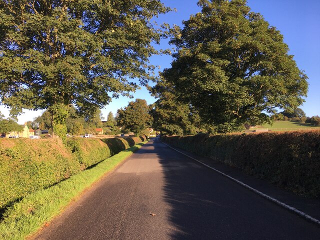
Preston Hill is a small but prominent hill located in Yorkshire, England. Situated near the village of Preston, it forms part of the picturesque Yorkshire Dales National Park. Standing at an elevation of around 300 meters (984 feet), it offers stunning panoramic views of the surrounding countryside.

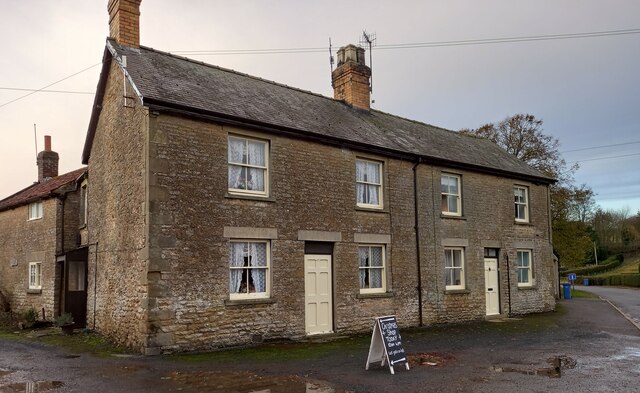
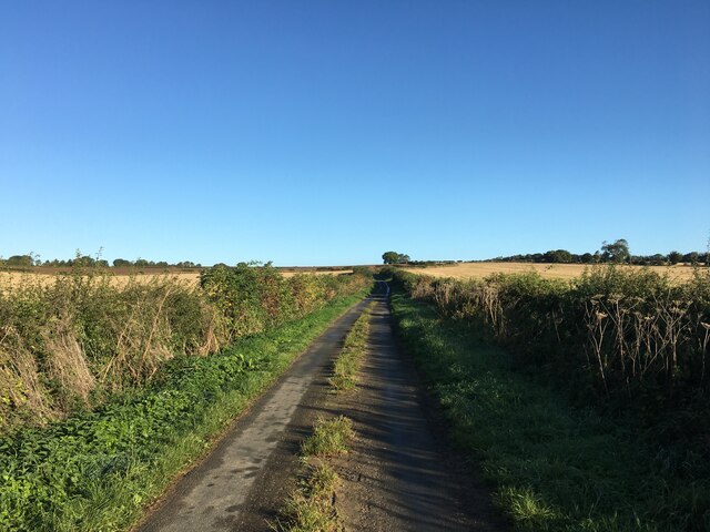
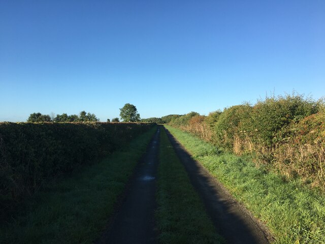
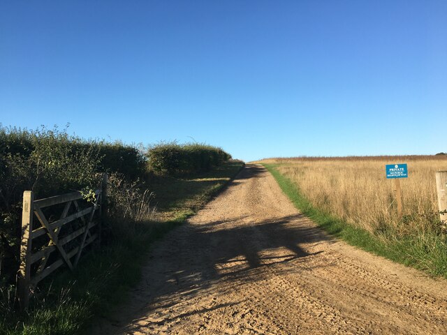
The hill is characterized by its gentle slopes and grassy terrain, making it accessible to walkers and hikers of all abilities. Its location within the national park means that it is often frequented by nature enthusiasts and tourists seeking to explore the area's natural beauty.

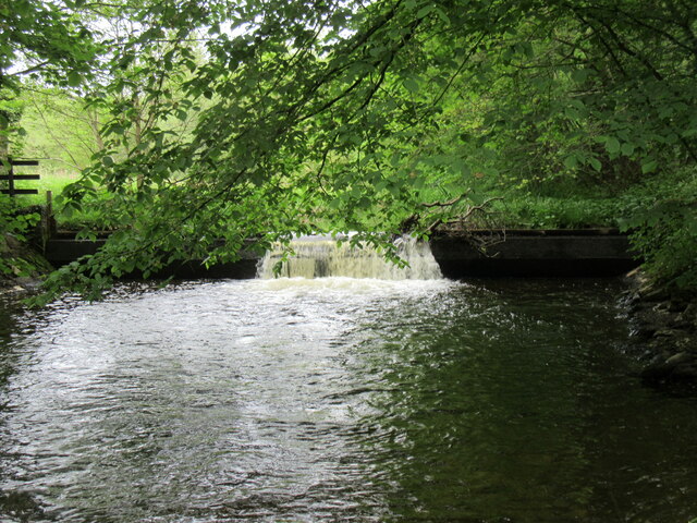
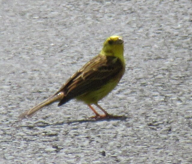
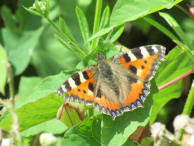
As visitors ascend the hill, they are greeted by a diverse range of flora and fauna. The hillside is covered in heather, grasses, and wildflowers, creating a vibrant and colorful landscape, particularly during the summer months. Birdwatchers will also be delighted as the hill offers the opportunity to spot various species, including buzzards, kestrels, and skylarks.

Preston Hill is surrounded by several walking trails, making it a popular destination for outdoor activities such as hiking, picnicking, and even dog walking. The hill's strategic location at the heart of the Yorkshire Dales also means that it is within close proximity to other notable landmarks, including the charming village of Malham and the iconic Malham Cove.

In conclusion, Preston Hill in Yorkshire is a picturesque and accessible hill that offers breathtaking views of the surrounding countryside. Its natural beauty, diverse flora and fauna, and proximity to other attractions make it an ideal destination for nature enthusiasts and outdoor adventurers alike.

If you have any feedback on the listing, please let us know in the comments section below.
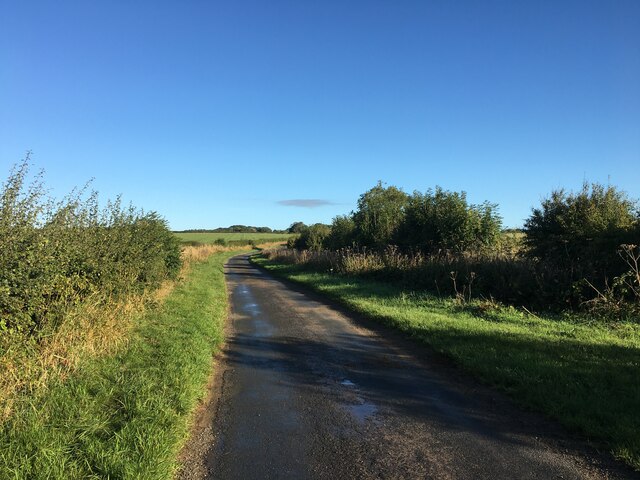
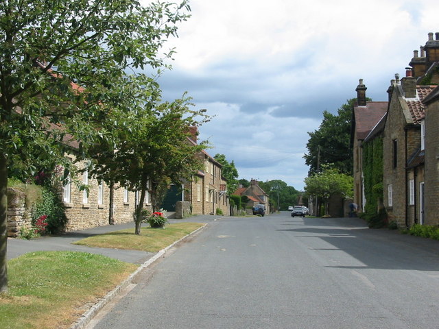
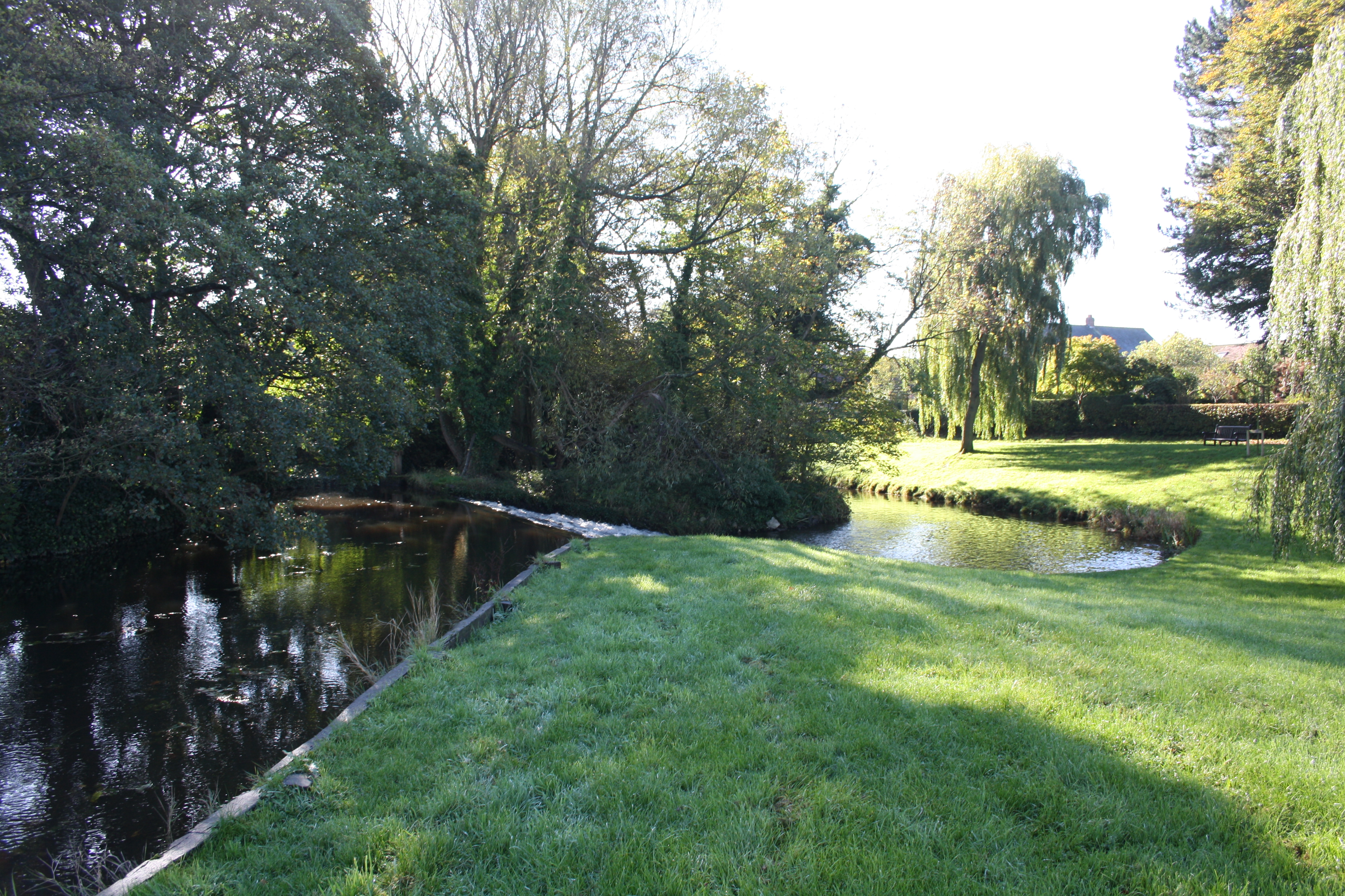
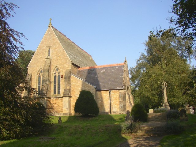
Preston Hill Images

Images are sourced within 2km of 54.247315/-0.50745471 or Grid Reference SE9784. Thanks to Geograph Open Source API. All images are credited.

Wykeham village The benchmark is cut into the right hand cornerstone of the lowest course of stone of the gable end of 19 Wykeham.
Wykeham village
The benchmark is cut into the right hand cornerstone of the lowest course of stone of the gable end of 19 Wykeham.
Wykeham village There is a benchmark cut into the right hand cornerstone of the lowest course of stone of the gable end of 19 Wykeham.
Wykeham village
There is a benchmark cut into the right hand cornerstone of the lowest course of stone of the gable end of 19 Wykeham.
Ruston Lane The lane drops steadily downhill towards Ruston village. In the distance is the northern scarp of the Wolds. The lane is shown as an 'other route with public access', eventually becoming a 'yellow road' further down, but one would be hard pressed to notice the difference as the surface of this lane is little worse than the road it becomes.
Ruston Lane
The lane drops steadily downhill towards Ruston village. In the distance is the northern scarp of the Wolds. The lane is shown as an 'other route with public access', eventually becoming a 'yellow road' further down, but one would be hard pressed to notice the difference as the surface of this lane is little worse than the road it becomes.
Old quarry entrance off Ruston Lane The quarry looked interesting enough to explore, but the padlocked gate and signs about shooting were a deterrent. The quarry face can just be seen through the trees. The stone quarried was a limestone of the Hambleton oolite group of Jurassic age.
Old quarry entrance off Ruston Lane
The quarry looked interesting enough to explore, but the padlocked gate and signs about shooting were a deterrent. The quarry face can just be seen through the trees. The stone quarried was a limestone of the Hambleton oolite group of Jurassic age.
Weir on River Derwent In Forge Valley.
Weir on River Derwent
In Forge Valley.
Ayton Castle The remains of Ayton Castle.
Ayton Castle
The remains of Ayton Castle.
Inside Ayton Castle Looking inside Ayton Castle, the flash was turned on.
Inside Ayton Castle
Looking inside Ayton Castle, the flash was turned on.
Ayton Castle information Information board at Ayton Castle.
Ayton Castle information
Information board at Ayton Castle.
Near Ruston Looking SW across to Ruston.
Near Ruston
Looking SW across to Ruston.
Yellowhammer Yellowhammer on Great Moor Road, they must be one of the most common small birds in North Yorkshire at the moment.
Yellowhammer
Yellowhammer on Great Moor Road, they must be one of the most common small birds in North Yorkshire at the moment.
Small Tortoiseshell A Small Tortoiseshell in an overgrown area next to Great Moor Road.
Small Tortoiseshell
A Small Tortoiseshell in an overgrown area next to Great Moor Road.
Ayton Castle Pele Tower
Road to Hutton Buscel
Far Lane near Hutton Buscel
Far Lane near Ancat Farm
Farm track near Hutton Buscel
Minor road near Hutton Buscel
Wykeham Lane
Wykeham Lane
Show me another place!

Preston Hill is located at Grid Ref: SE9784 (Lat: 54.247315, Lng: -0.50745471)

Division: North Riding

Administrative County: North Yorkshire

District: Scarborough

Police Authority: North Yorkshire

What 3 Words

///gathering.cheater.scars. Near East Ayton, North Yorkshire

Related Wikis

Hutton Buscel

Hutton Buscel is a village and civil parish in the Scarborough district of North Yorkshire, England. According to the 2011 UK census, Hutton Buscel parish...

Wykeham railway station

Wykeham railway station was situated on the North Eastern Railway's Pickering to Seamer branch line. It served the villages of Wykeham and Ruston in North...

Forge Valley railway station

Forge Valley railway station was situated on the North Eastern Railway's Pickering to Seamer branch line. It served the twin villages of East and West...

West Ayton

West Ayton is a village and civil parish in the Scarborough district of North Yorkshire, England. Located upon the west bank of the River Derwent adjacent...

Wykeham, Scarborough

Wykeham is a small village and civil parish in the Scarborough district of North Yorkshire, England, on the outskirts of Scarborough and the southern...

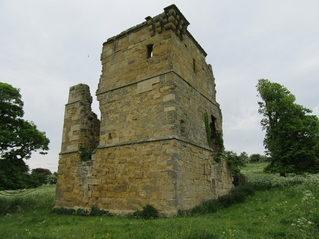
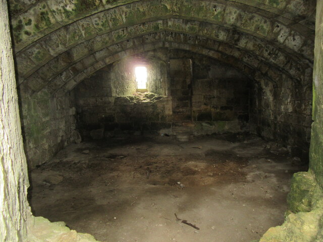
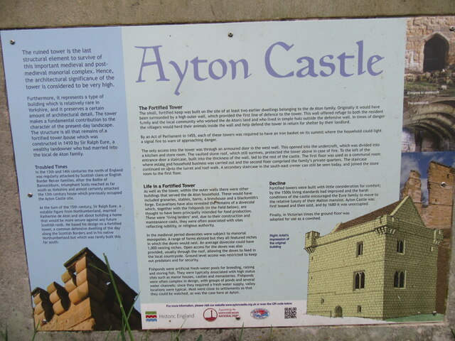
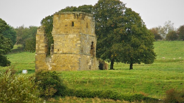
Ayton Castle, North Yorkshire

Ayton Castle is a ruined Grade I listed 14th century pele tower castle near West Ayton, North Yorkshire, England. == Location == The castle is sited at...

Ruston, North Yorkshire

Ruston is a small village in the Scarborough district of North Yorkshire, England, forming part of the civil parish of Wykeham. The village is situated...

East Ayton

East Ayton is a village and civil parish in the Scarborough district of North Yorkshire, England. According to the 2011 UK census, East Ayton parish...

Nearby Amenities

Located within 500m of 54.247315,-0.50745471
Hutton Buscel
Created By: Potlatch 0.5d
Is In: UK,Yorkshire,North Yorkshire
Place: village
Lat/Long: 54.2443865/-0.5080463
Public Bookcase
Booth: K6
Disused Amenity: telephone
Man Made: telephone_box
Public Bookcase Type: phone_box
Tourism: information
Lat/Long: 54.2453876/-0.5050263
Bus Stop
Naptan AtcoCode: 3200YNA01065
Naptan NaptanCode: 32001065
Shelter: yes
Lat/Long: 54.2445007/-0.5063003
Post Box
Post Box Type: wall
Ref: YO13 156
Royal Cypher: GR
Royal Cypher Wikidata: Q33102273
Lat/Long: 54.2447718/-0.5060723
Dale Farm
Place: farm
Lat/Long: 54.2465056/-0.5016106
Mount Pleasant Farm
Place: farm
Lat/Long: 54.2475408/-0.5005163
Information: board
Tourism: information
Lat/Long: 54.2449258/-0.5110929
The data included in this document is from www.openstreetmap.org. The data is made available under ODbL.

Have you been to Preston Hill?

Leave your review of Preston Hill below (or comments, questions and feedback).