Castle Hill
Hill, Mountain in Bedfordshire
England
Castle Hill

Castle Hill is a prominent landmark located in the county of Bedfordshire, England. Situated near the village of Silsoe, this hill is known for its historical and geological significance. Despite its name, Castle Hill is not actually a castle but rather a natural hill formation that has been shaped by both human and natural forces.
The hill rises to an elevation of around 85 meters above sea level, making it one of the highest points in the area. It is composed of chalk and flint, which provide a unique geological composition. The site is also home to diverse flora and fauna, including rare plant species and various bird species.
One of the most notable features of Castle Hill is its historical significance. The site has been inhabited since prehistoric times, with evidence of human activity dating back thousands of years. Archaeological excavations have uncovered artifacts from the Iron Age, Roman, and medieval periods, suggesting that the hill was once a strategic and fortified location.
Today, Castle Hill is a popular destination for nature enthusiasts, history buffs, and hikers. The hill offers stunning panoramic views of the surrounding countryside, providing a perfect vantage point for sightseeing and photography. There are also various walking trails that allow visitors to explore the hill and its surroundings.
In conclusion, Castle Hill in Bedfordshire is a significant natural and historical landmark. With its geological composition, rich history, and scenic beauty, it attracts visitors from near and far, offering a glimpse into the region's past and a chance to appreciate its natural wonders.
If you have any feedback on the listing, please let us know in the comments section below.
Castle Hill Images
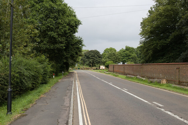
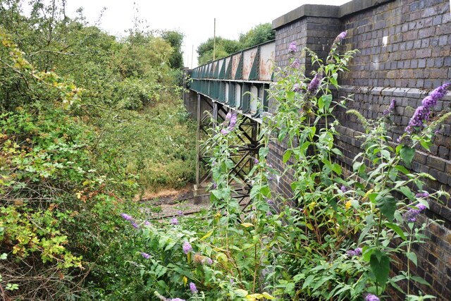
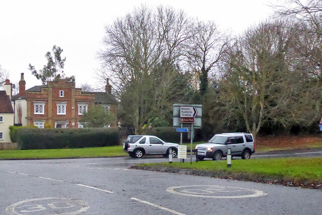
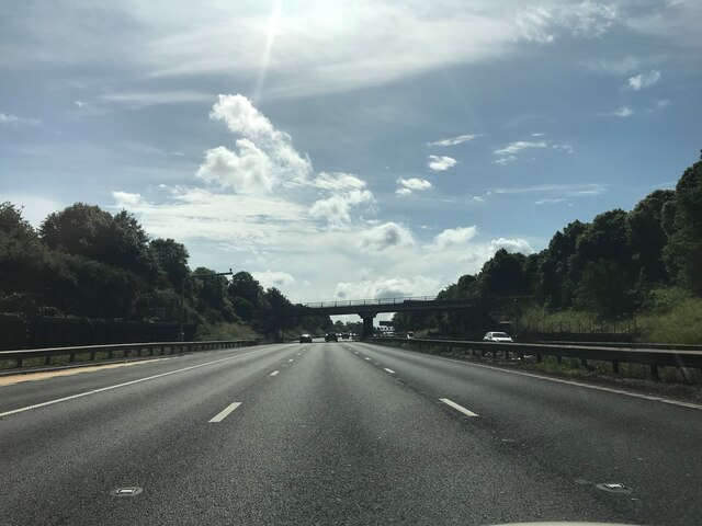
Images are sourced within 2km of 52.016166/-0.58304495 or Grid Reference SP9736. Thanks to Geograph Open Source API. All images are credited.


Castle Hill is located at Grid Ref: SP9736 (Lat: 52.016166, Lng: -0.58304495)
Unitary Authority: Central Bedfordshire
Police Authority: Bedfordshire
What 3 Words
///harmless.statement.palaces. Near Ridgmont, Bedfordshire
Nearby Locations
Related Wikis

Ridgmont
Ridgmont is a small village and civil parish in Bedfordshire, England. It is located beside junction 13 of the M1 motorway, and close to Milton Keynes...
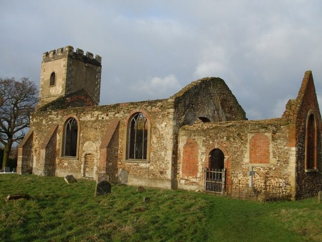
All Saints Church, Segenhoe
All Saints Church, Segenhoe is a ruined medieval church located near the village of Ridgmont, Bedfordshire. It contains architectural details that range...
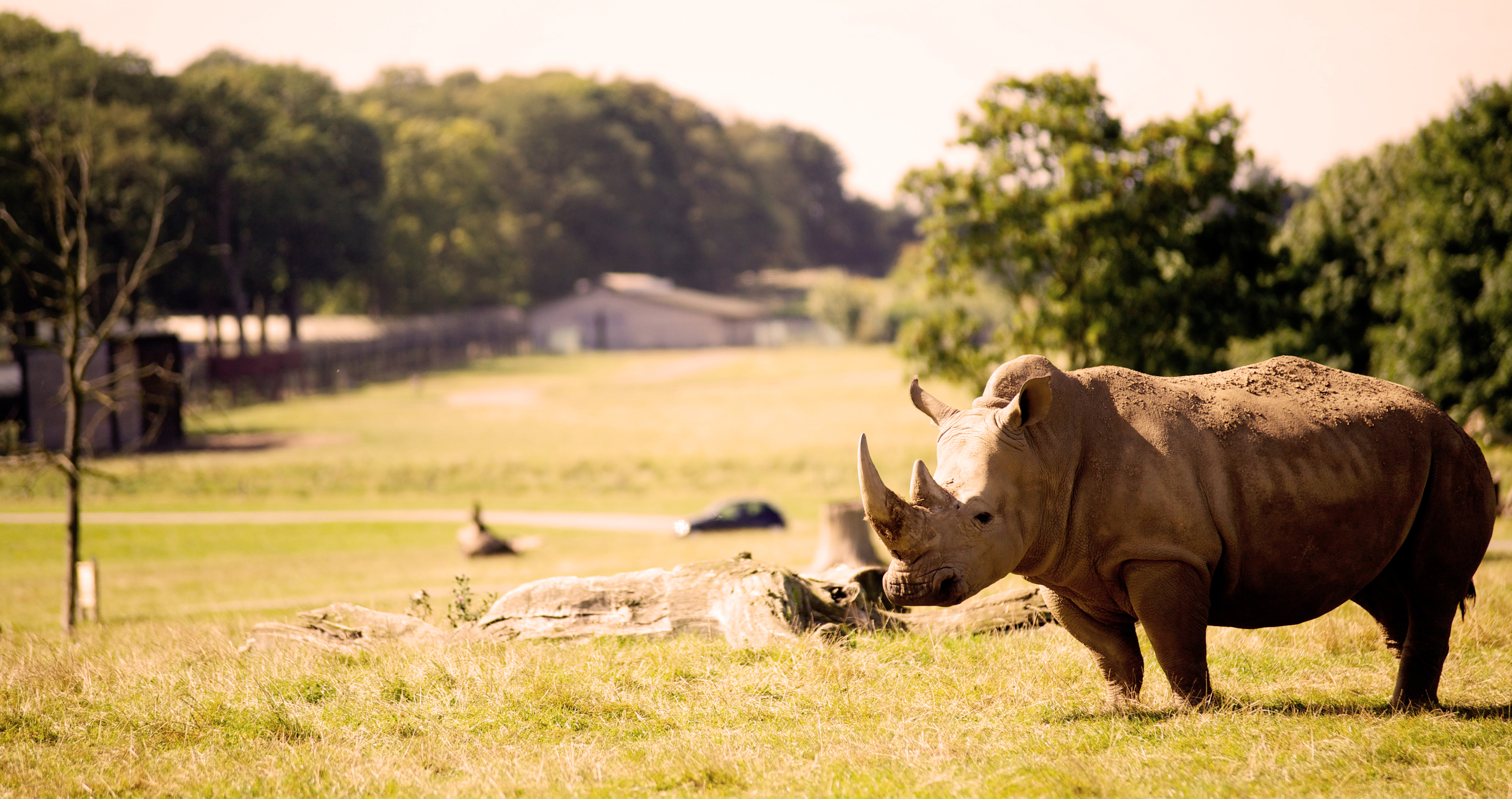
Woburn Safari Park
Woburn Safari Park is a safari park located in Woburn, Bedfordshire, England. Visitors to the park can drive through exhibits, which contain species such...
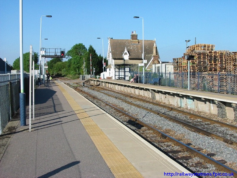
Ridgmont railway station
Ridgmont railway station is a small unstaffed railway station that serves the village of Ridgmont in Bedfordshire. The station is about 1 mile (2 km) away...
Nearby Amenities
Located within 500m of 52.016166,-0.58304495Have you been to Castle Hill?
Leave your review of Castle Hill below (or comments, questions and feedback).