Toft Hill

Hill, Mountain in Yorkshire Scarborough

England

Toft Hill

Weir on River Derwent In Forge Valley.
Weir on River Derwent Credit: T Eyre

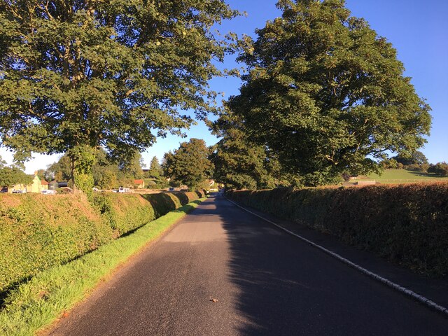
Toft Hill is a small village located in the county of Yorkshire, England. Situated on a gentle slope, it is often referred to as a hill due to its elevated position compared to the surrounding areas. It is nestled within the beautiful countryside of Teesdale, offering picturesque views of rolling hills and green landscapes.

The village is home to a tight-knit community, with a population of around 1,500 residents. It has a rich history, dating back to medieval times, and has retained much of its traditional charm. The architecture in Toft Hill is a mix of old and new, with historic stone houses and modern developments coexisting harmoniously.

Despite its small size, Toft Hill offers a range of amenities to its residents. There is a primary school, a village hall, a post office, and a local pub, providing a central hub for socializing and community events. The village also boasts a small but well-stocked convenience store, ensuring that residents have access to everyday essentials.

Surrounded by stunning countryside, Toft Hill offers ample opportunities for outdoor activities and exploration. The nearby Teesdale Way, a long-distance footpath, provides scenic walks along the River Tees, while the surrounding hills are perfect for hiking and enjoying nature.

Overall, Toft Hill is a charming and tranquil village, offering a peaceful and picturesque setting for residents and visitors alike. Its rich history, welcoming community, and natural beauty make it a truly special place in Yorkshire.

If you have any feedback on the listing, please let us know in the comments section below.
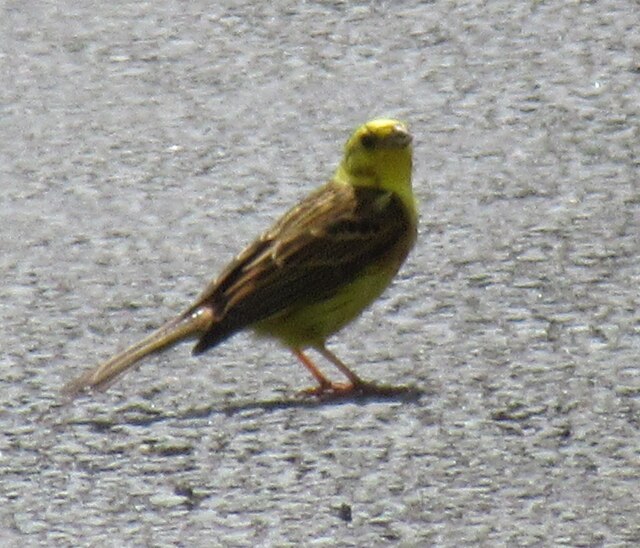
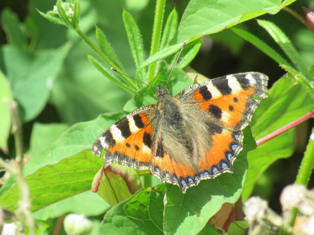
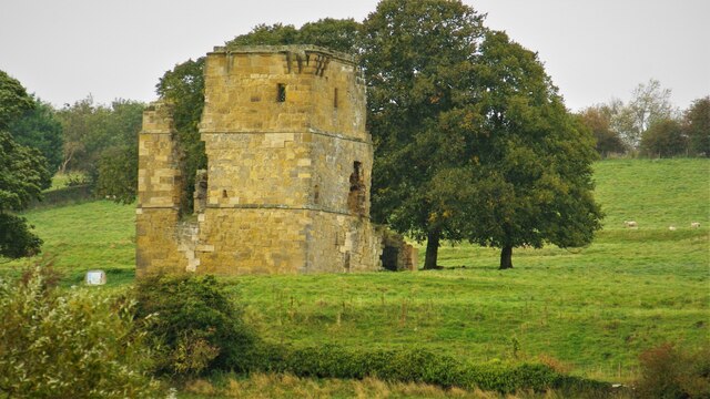
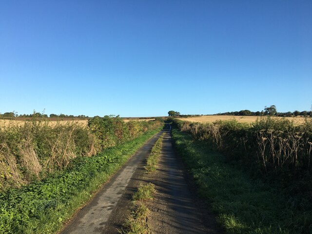
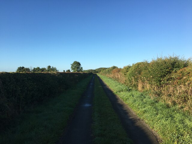
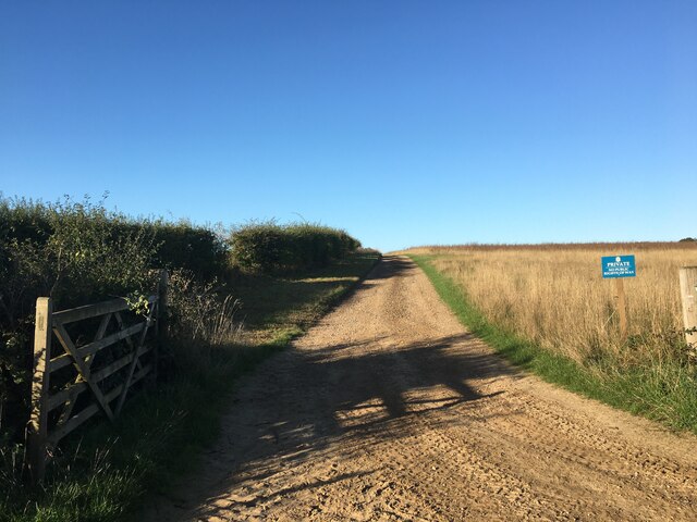
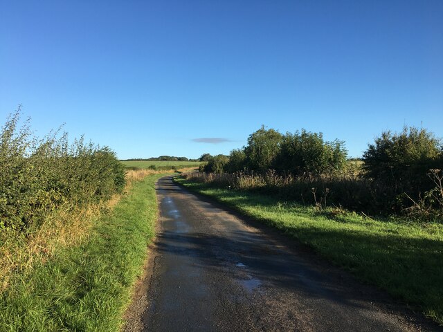
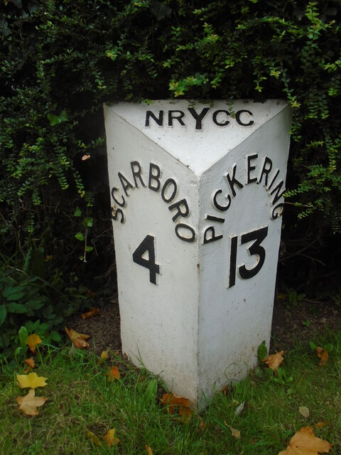
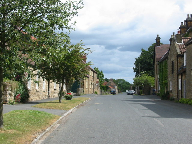
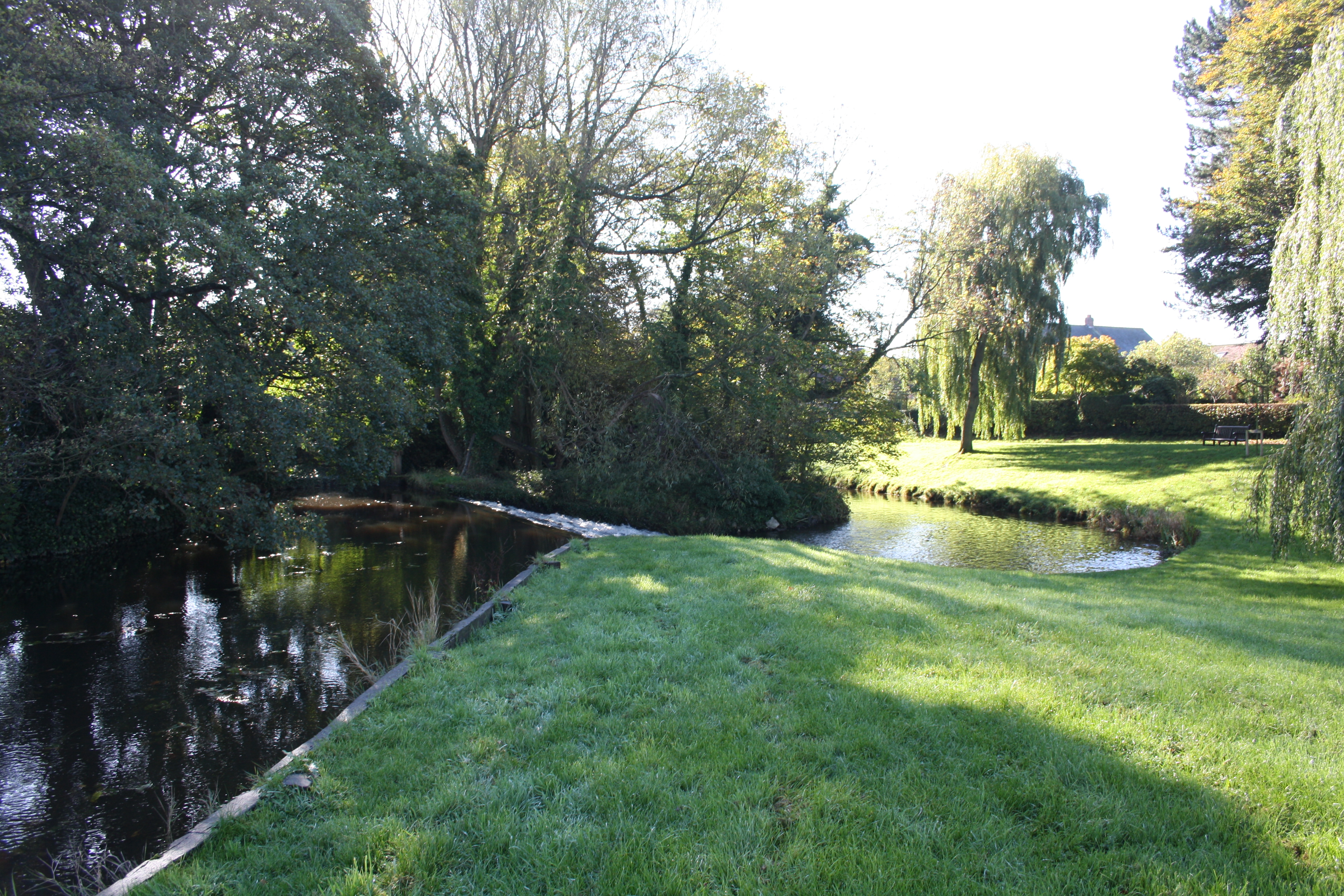
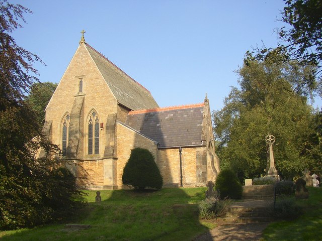
Toft Hill Images

Images are sourced within 2km of 54.248211/-0.49924174 or Grid Reference SE9784. Thanks to Geograph Open Source API. All images are credited.

Weir on River Derwent In Forge Valley.
Weir on River Derwent
In Forge Valley.
Ayton Castle The remains of Ayton Castle.
Ayton Castle
The remains of Ayton Castle.
Inside Ayton Castle Looking inside Ayton Castle, the flash was turned on.
Inside Ayton Castle
Looking inside Ayton Castle, the flash was turned on.
Ayton Castle information Information board at Ayton Castle.
Ayton Castle information
Information board at Ayton Castle.
Yellowhammer Yellowhammer on Great Moor Road, they must be one of the most common small birds in North Yorkshire at the moment.
Yellowhammer
Yellowhammer on Great Moor Road, they must be one of the most common small birds in North Yorkshire at the moment.
Small Tortoiseshell A Small Tortoiseshell in an overgrown area next to Great Moor Road.
Small Tortoiseshell
A Small Tortoiseshell in an overgrown area next to Great Moor Road.
Ayton Castle Pele Tower
Road to Hutton Buscel
Far Lane near Hutton Buscel
Far Lane near Ancat Farm
Farm track near Hutton Buscel
Minor road near Hutton Buscel
Ruston Cliff Woods Part of the Forge Valley nature reserve.
Ruston Cliff Woods
Part of the Forge Valley nature reserve.
Old field boundaries, Hutton Buscel The low light on a bright January day highlights the old field boundaries and the ridge and furrow in this large field on a south facing slope. Hutton Buscel village on the skyline. Many of these field boundaries were still extant at the time of the first 6" OS map of the area surveyed in 1850, but had gone by the end of the century
Old field boundaries, Hutton Buscel
The low light on a bright January day highlights the old field boundaries and the ridge and furrow in this large field on a south facing slope. Hutton Buscel village on the skyline. Many of these field boundaries were still extant at the time of the first 6" OS map of the area surveyed in 1850, but had gone by the end of the century
Re-purposed telephone box, Hutton Buscel This K6 telephone box at the junction of Middle lane with the Main Street (behind the photographer) has been refurbished and re-purposed as a village information facility and a boo exchange - hence the shelves of books
Re-purposed telephone box, Hutton Buscel
This K6 telephone box at the junction of Middle lane with the Main Street (behind the photographer) has been refurbished and re-purposed as a village information facility and a boo exchange - hence the shelves of books
Old milepost This post is outside a house called The Milestone on the A170 Racecourse Road in East Ayton.   Although inside of the back can't be seen this is the type of milepost cast at the foundry of F Mattison & Co. Bedale.   This is one of the mileposts along this route which does get painted occasionally.
Old milepost
This post is outside a house called The Milestone on the A170 Racecourse Road in East Ayton. Although inside of the back can't be seen this is the type of milepost cast at the foundry of F Mattison & Co. Bedale. This is one of the mileposts along this route which does get painted occasionally.
Old milepost Looking southwest along the A170 Racecourse Road towards Main Street which joins East and West Ayton.   The autumn leaves are just beginning to fall.
Old milepost
Looking southwest along the A170 Racecourse Road towards Main Street which joins East and West Ayton. The autumn leaves are just beginning to fall.
Old milepost Just to the northeast of Far Lane junction with the A170 this is one of the neglected mileposts on this route.   Perhaps a good scrub down with soapy water may work miracles!  These mileposts could have been erected at the end of the 19thC or early in the 20th.
Old milepost
Just to the northeast of Far Lane junction with the A170 this is one of the neglected mileposts on this route. Perhaps a good scrub down with soapy water may work miracles! These mileposts could have been erected at the end of the 19thC or early in the 20th.
Show me another place!

Toft Hill is located at Grid Ref: SE9784 (Lat: 54.248211, Lng: -0.49924174)

Division: North Riding

Administrative County: North Yorkshire

District: Scarborough

Police Authority: North Yorkshire

What 3 Words

///themes.topics.massive. Near East Ayton, North Yorkshire

Related Wikis

Hutton Buscel

Hutton Buscel is a village and civil parish in the Scarborough district of North Yorkshire, England. According to the 2011 UK census, Hutton Buscel parish...

Forge Valley railway station

Forge Valley railway station was situated on the North Eastern Railway's Pickering to Seamer branch line. It served the twin villages of East and West...

West Ayton

West Ayton is a village and civil parish in the Scarborough district of North Yorkshire, England. Located upon the west bank of the River Derwent adjacent...

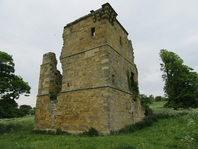
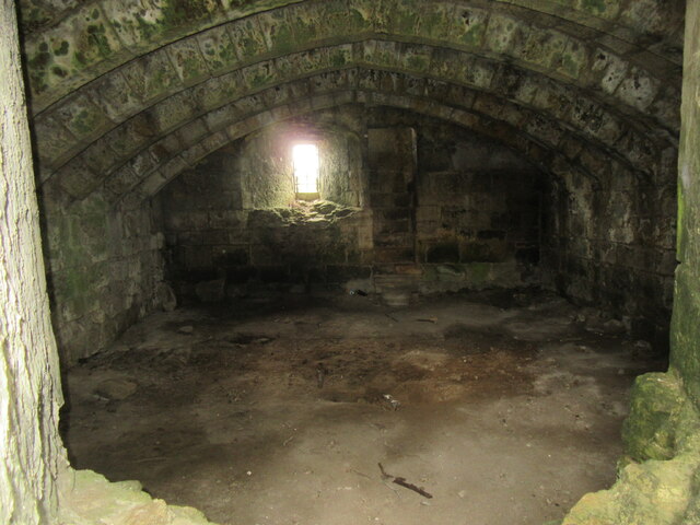
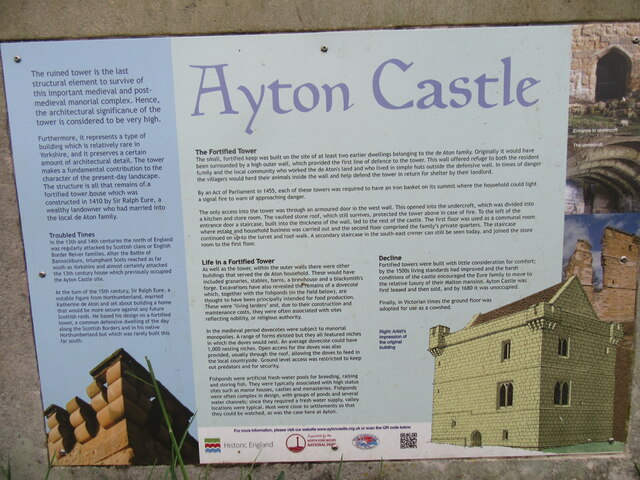
Ayton Castle, North Yorkshire

Ayton Castle is a ruined Grade I listed 14th century pele tower castle near West Ayton, North Yorkshire, England. == Location == The castle is sited at...

Wykeham railway station

Wykeham railway station was situated on the North Eastern Railway's Pickering to Seamer branch line. It served the villages of Wykeham and Ruston in North...

East Ayton

East Ayton is a village and civil parish in the Scarborough district of North Yorkshire, England. According to the 2011 UK census, East Ayton parish...

Wykeham, Scarborough

Wykeham is a small village and civil parish in the Scarborough district of North Yorkshire, England, on the outskirts of Scarborough and the southern...
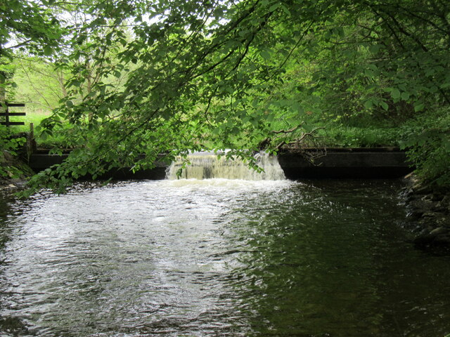
Forge Valley

Forge Valley is a national nature reserve in the Scarborough district of North Yorkshire, England, located within the North York Moors National Park on...

Nearby Amenities

Located within 500m of 54.248211,-0.49924174
Public Bookcase
Booth: K6
Disused Amenity: telephone
Man Made: telephone_box
Public Bookcase Type: phone_box
Tourism: information
Lat/Long: 54.2453876/-0.5050263
Post Box
Post Box Type: lamp
Ref: YO13 44
Royal Cypher: EIIR
Royal Cypher Wikidata: Q33102113
Lat/Long: 54.2463799/-0.4936563
Bench
Backrest: yes
Lat/Long: 54.2470736/-0.4923384
Pharmacy
Dispensing: yes
Healthcare: pharmacy
Lat/Long: 54.2460747/-0.4938009
Generator Method: photovoltaic
Generator Output Electricity: yes
Generator Source: solar
Generator Type: solar_photovoltaic_panel
Power: generator
Lat/Long: 54.2454407/-0.495264
Dale Farm
Place: farm
Lat/Long: 54.2465056/-0.5016106
Mount Pleasant Farm
Place: farm
Lat/Long: 54.2475408/-0.5005163
The data included in this document is from www.openstreetmap.org. The data is made available under ODbL.

Have you been to Toft Hill?

Leave your review of Toft Hill below (or comments, questions and feedback).