Cuckoo Hill
Hill, Mountain in Surrey Surrey Heath
England
Cuckoo Hill
Cuckoo Hill is a prominent hill located in the county of Surrey, England. Situated in the southern part of the county, it is part of the North Downs, a range of chalk hills that extend from Farnham to the White Cliffs of Dover. Cuckoo Hill stands at an elevation of around 171 meters (561 feet) above sea level.
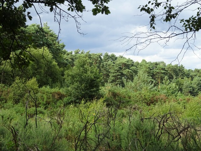
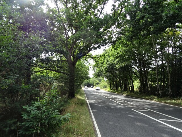
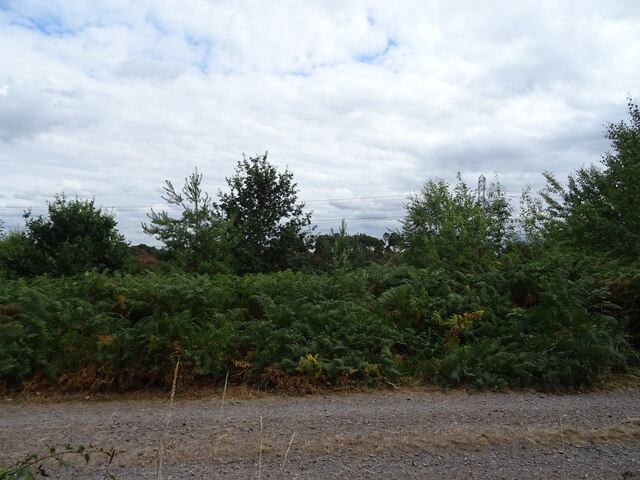
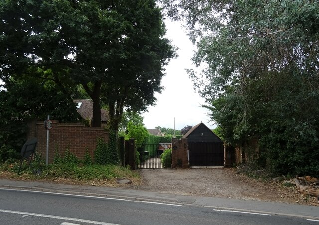
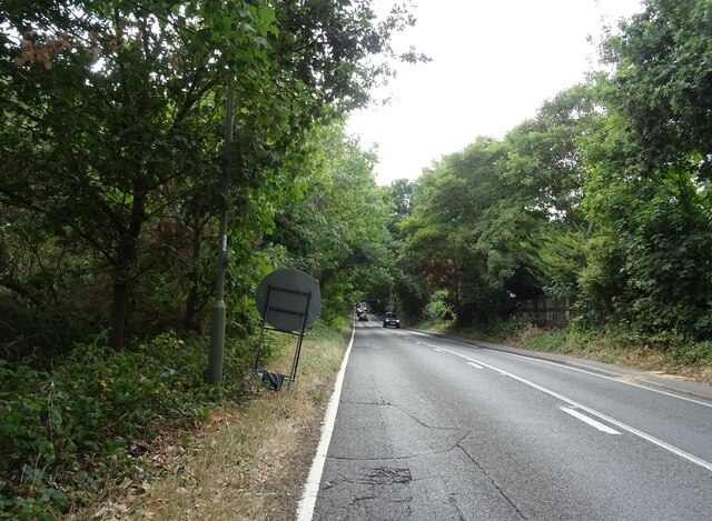
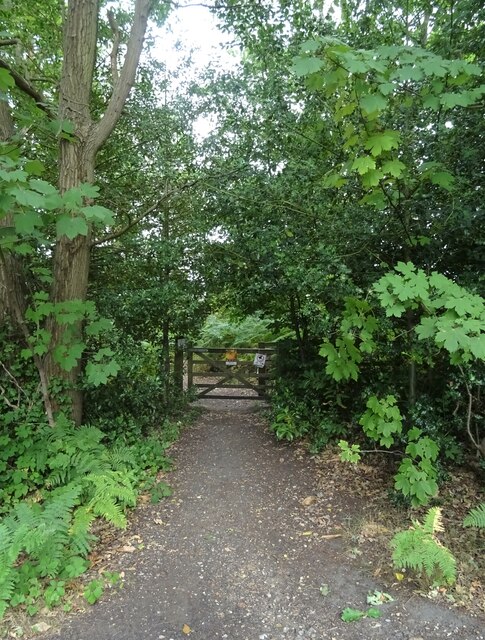
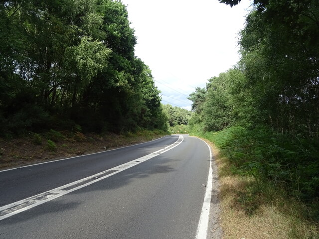
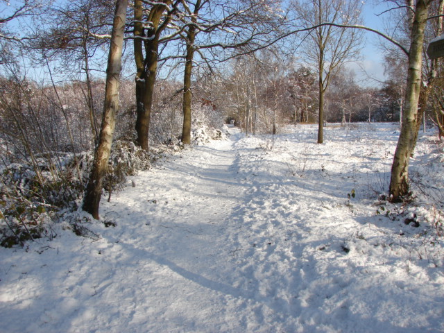
The hill offers breathtaking views of the surrounding countryside, with its slopes covered in lush greenery and dotted with various species of trees, including oak and beech. Numerous footpaths and trails crisscross the area, making it a popular destination for hikers, walkers, and nature enthusiasts.
One of the notable features of Cuckoo Hill is its connection to local folklore. According to legend, the hill received its name due to the regular presence of cuckoo birds in the area, which are known for their distinctive call. The hill has become synonymous with the arrival of spring, as the cuckoos' call is often associated with the changing season.
In addition to its natural beauty, Cuckoo Hill is also home to several archaeological sites. The remains of ancient settlements and burial mounds have been discovered in the vicinity, providing insights into the area's rich history.
Overall, Cuckoo Hill in Surrey is a captivating destination, offering stunning vistas, a wealth of flora and fauna, and a fascinating connection to local folklore and history.
If you have any feedback on the listing, please let us know in the comments section below.
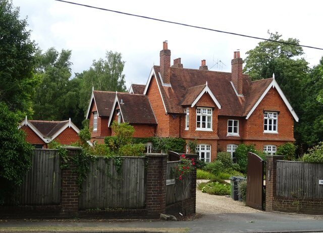
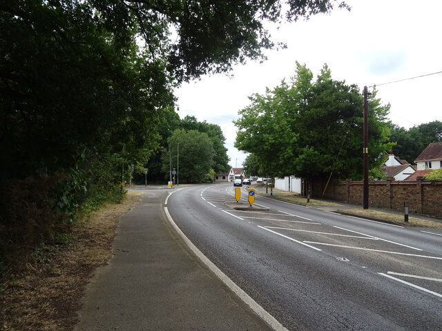
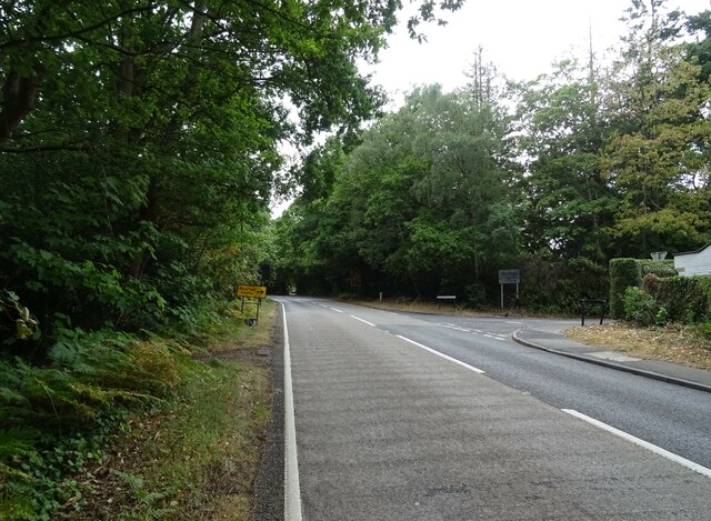
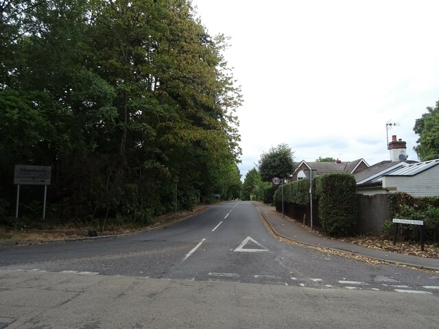
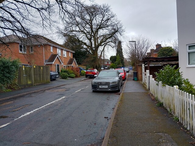
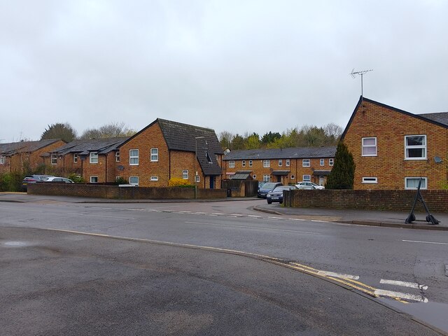
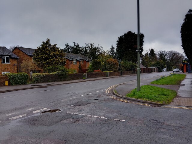
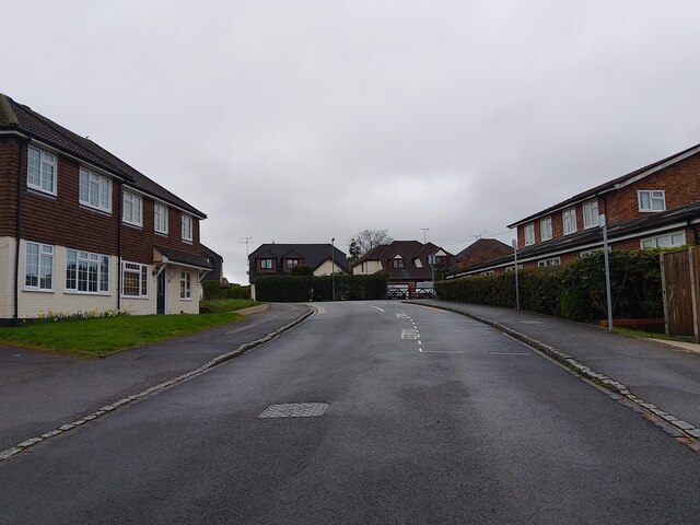
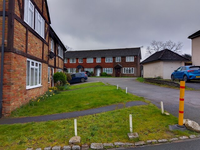
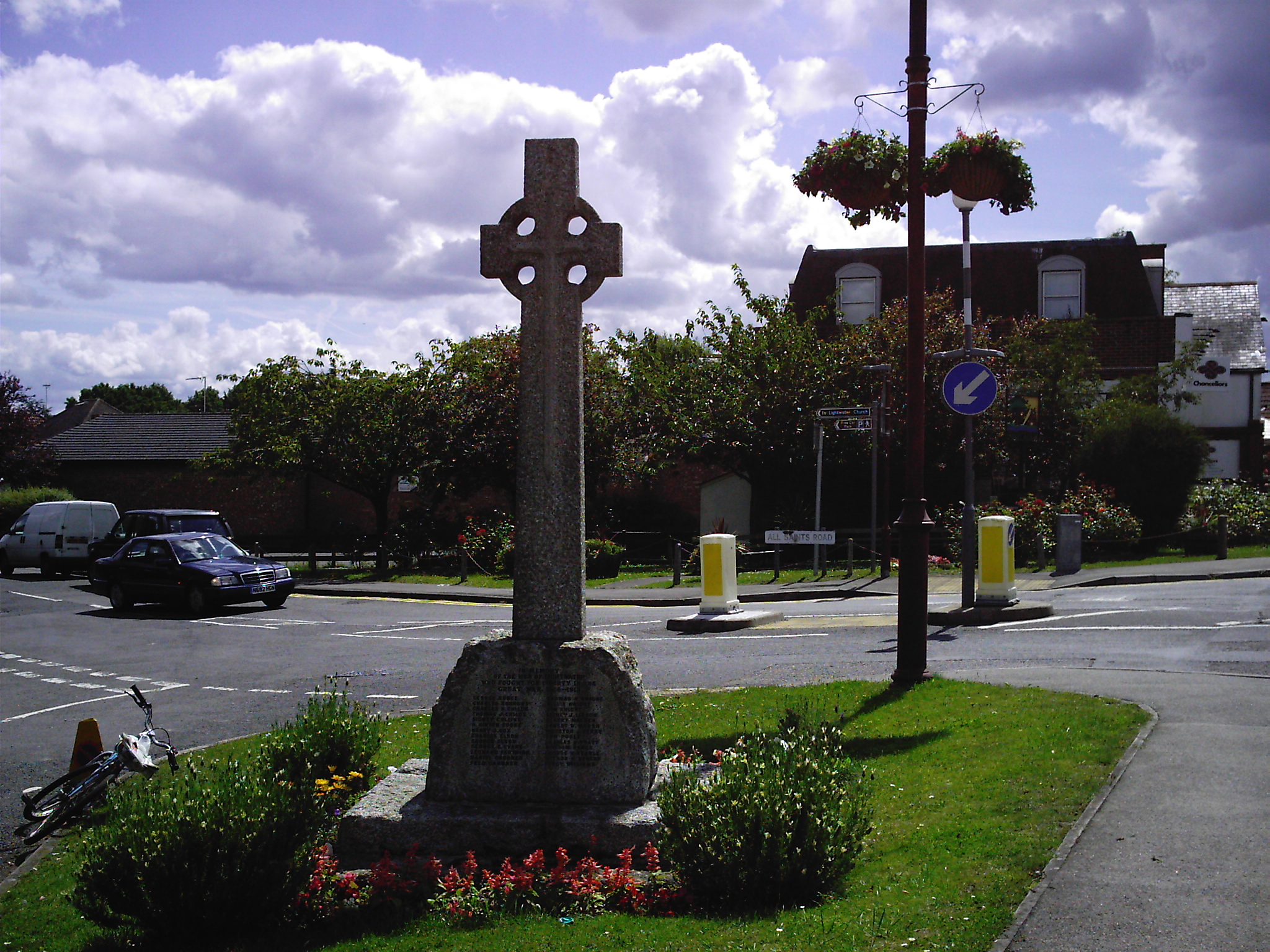
Cuckoo Hill Images
Images are sourced within 2km of 51.341113/-0.66095587 or Grid Reference SU9361. Thanks to Geograph Open Source API. All images are credited.

Cuckoo Hill is located at Grid Ref: SU9361 (Lat: 51.341113, Lng: -0.66095587)
Administrative County: Surrey
District: Surrey Heath
Police Authority: Surrey
What 3 Words
///glee.payer.boot. Near Lightwater, Surrey
Nearby Locations
Related Wikis

Brentmoor Heath
Brentmoor Heath is a 28.6-hectare (71-acre) Local Nature Reserve east of Camberley in Surrey. It is part of Brentmoor Heath and Folly Bog nature reserve...

Gordon's School
Gordon's School is a secondary school with academy status in West End near Woking, Surrey, England. It was founded as the Gordon Boys' Home in 1885. It...
Lightwater
Lightwater is a village in the Surrey Heath district of Surrey, England, about 27 miles (43 km) southwest of central London. Immediately surrounding towns...

West End, Surrey
West End is a village and civil parish in Surrey Heath, Surrey, England, approximately 25 miles (40 km) southwest of central London. It is midway between...

The Flashes
The Flashes is a 115.1-hectare (284-acre) Local Nature Reserve west of Godalming in Surrey. It is owned by the National Trust and managed by Waverley...
Bisley and West End Commons
Bisley and West End Commons is a 37.2-hectare (92-acre) Local Nature Reserve west of Woking in Surrey. It is part of the 46-hectare (110-acre) Bisley...

Windlesham Arboretum
Windlesham Arboretum is between the villages of Windlesham and Lightwater in Surrey, United Kingdom, just south of Junction 3 on the M3. The arboretum...

Bisley, Surrey
Bisley is a village and civil parish in the Borough of Surrey Heath in Surrey, England, approximately 25 miles (40 km) southwest of central London. It...
Nearby Amenities
Located within 500m of 51.341113,-0.66095587Have you been to Cuckoo Hill?
Leave your review of Cuckoo Hill below (or comments, questions and feedback).