New England

Settlement in Surrey Surrey Heath

England

New England

Brook Place Grade II* listed building.
Brook Place Credit: JThomas

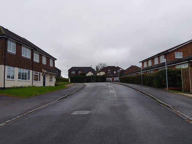
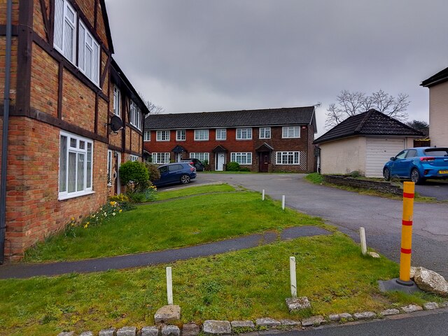
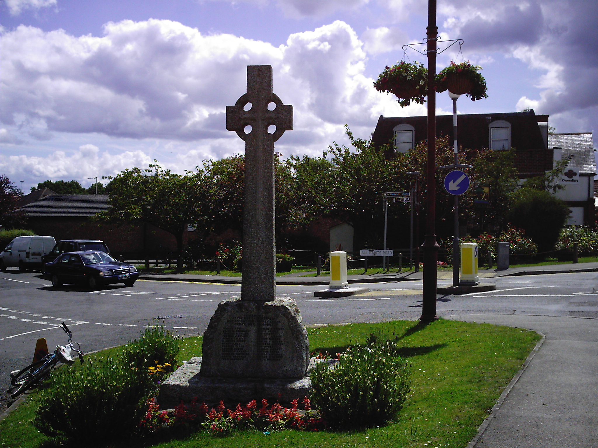
New England is a small village located in the county of Surrey, England. Situated in the southeastern part of the country, it is part of the borough of Woking.

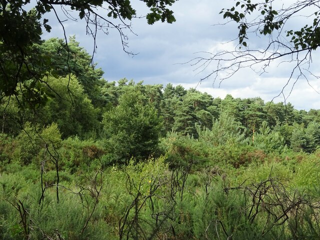
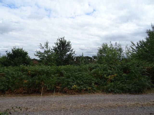
New England is characterized by its picturesque countryside and charming rural atmosphere. The village is surrounded by rolling hills, meadows, and dense woodlands, offering breathtaking views and a tranquil environment. It is known for its beautiful landscapes, making it a popular destination for nature lovers and outdoor enthusiasts.

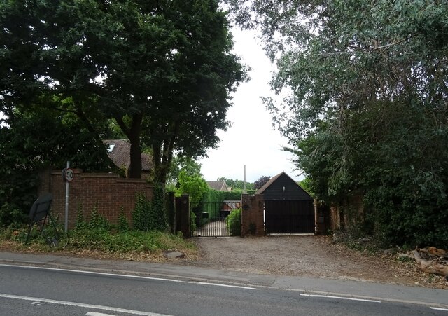
The heart of New England consists of a small cluster of houses, a village hall, and a local pub, which serves as a social hub for the community. The village retains its traditional architectural style, with many buildings dating back several centuries, showcasing the area's rich history and heritage.

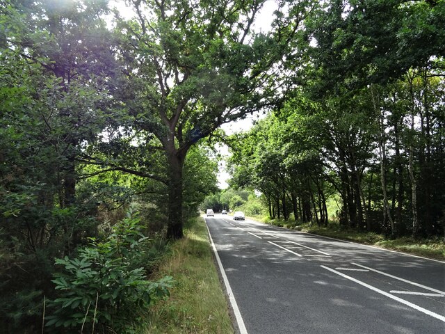
The village is well-connected to neighboring towns and cities, with good transport links and easy access to major roads. This makes it an ideal location for those seeking a peaceful rural retreat while still being within reach of urban amenities.

New England offers a range of recreational activities for residents and visitors alike. The surrounding countryside provides ample opportunities for walking, cycling, and horse riding. The area is also dotted with a network of footpaths and bridleways, allowing exploration of the beautiful countryside.

Overall, New England is a quaint and idyllic village in Surrey, offering a peaceful and scenic setting for those looking to escape the hustle and bustle of city life.

If you have any feedback on the listing, please let us know in the comments section below.
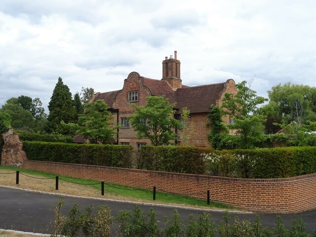
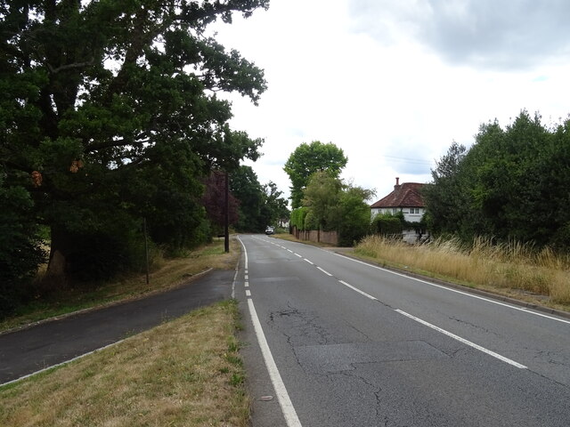
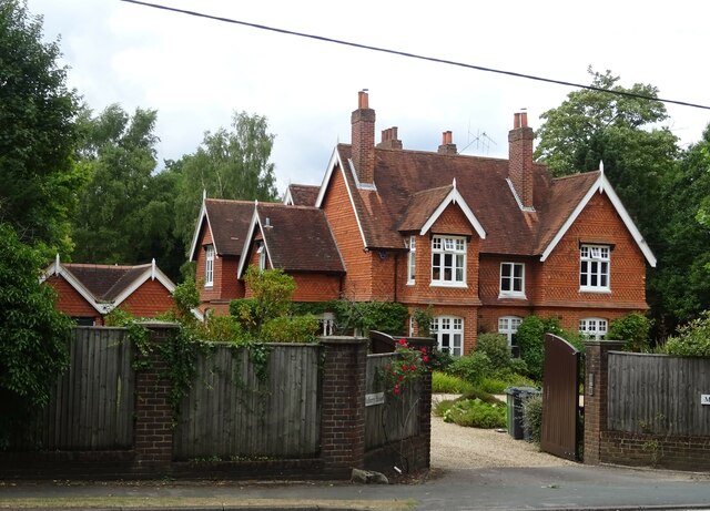
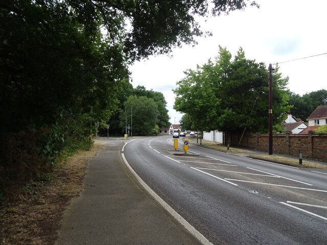
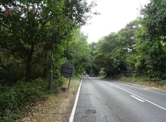
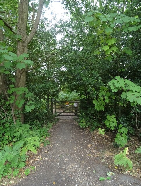
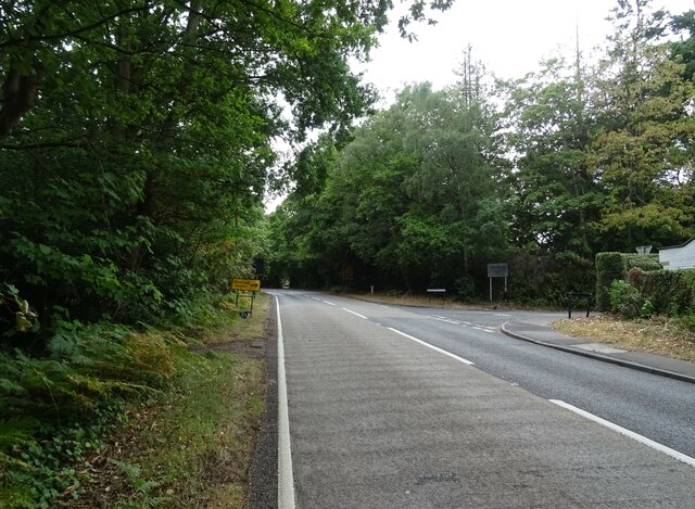
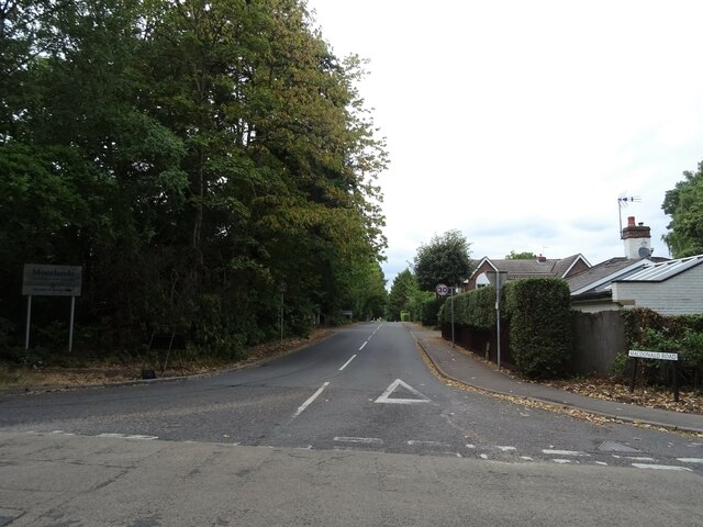
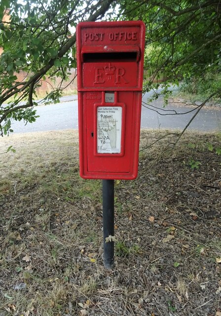
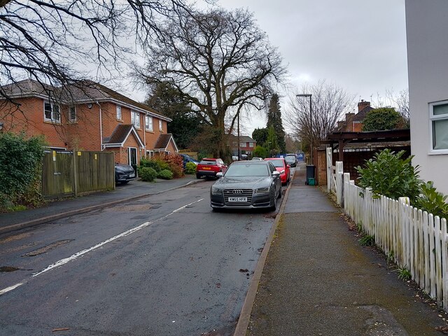
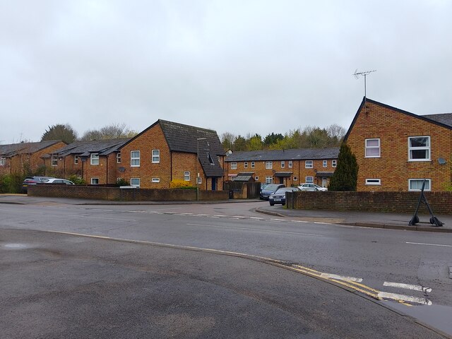
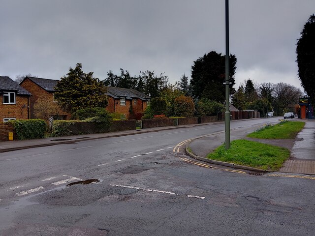
New England Images

Images are sourced within 2km of 51.342939/-0.65471449 or Grid Reference SU9361. Thanks to Geograph Open Source API. All images are credited.

Brook Place Grade II* listed building.
Brook Place
Grade II* listed building.
Bagshot Road (A319) Looking west.
Bagshot Road (A319)
Looking west.
Mulberry House On Bagshot Road.
Mulberry House
On Bagshot Road.
Bagshot Road (A319)
Bagshot Road (A319)
Woodland, Turf Hill
Woodland, Turf Hill
Red Road (B311) Looking west.
Red Road (B311)
Looking west.
Westend Common South of Red Road.
Westend Common
South of Red Road.
Gateway on Red Road (B311)
Red Road (B311) Towards Frimley.
Red Road (B311)
Towards Frimley.
Path onto Westend Common From Red Road.
Path onto Westend Common
From Red Road.
Red Road (B311) Towards Frimley.
Red Road (B311)
Towards Frimley.
Macdonald Road Off Red Road (B311).
Macdonald Road
Off Red Road (B311).
Elizabeth II postbox on Bagshot Road, West End Postbox No. GU24 6.
Elizabeth II postbox on Bagshot Road, West End
Postbox No. GU24 6.
Catena Rise A cul-de-sac off Guildford Road. At the end is Lightwater Village School.
Catena Rise
A cul-de-sac off Guildford Road. At the end is Lightwater Village School.
Houses on Hammond Way Houses on Hammond Way, viewed from Guildford Road. The other side of the trees is the A322.
Houses on Hammond Way
Houses on Hammond Way, viewed from Guildford Road. The other side of the trees is the A322.
Guildford Road A road between the Lightwater By-pass (A322), serving Lightwater, viewed from Catena Rise.
Guildford Road
A road between the Lightwater By-pass (A322), serving Lightwater, viewed from Catena Rise.
Christie Close A cul-de-sac off All Saints Road. To the right is Lightwater Surgery.
Christie Close
A cul-de-sac off All Saints Road. To the right is Lightwater Surgery.
Houses on Christie Close Houses on Christie Close, set back from the road along a drive.
Houses on Christie Close
Houses on Christie Close, set back from the road along a drive.
Show me another place!

New England is located at Grid Ref: SU9361 (Lat: 51.342939, Lng: -0.65471449)

Administrative County: Surrey

District: Surrey Heath

Police Authority: Surrey

What 3 Words

///soft.belong.fleet. Near Lightwater, Surrey

Related Wikis

Brentmoor Heath

Brentmoor Heath is a 28.6-hectare (71-acre) Local Nature Reserve east of Camberley in Surrey. It is part of Brentmoor Heath and Folly Bog nature reserve...

Gordon's School

Gordon's School is a secondary school with academy status in West End near Woking, Surrey, England. It was founded as the Gordon Boys' Home in 1885. It...

West End, Surrey

West End is a village and civil parish in Surrey Heath, Surrey, England, approximately 25 miles (40 km) southwest of central London. It is midway between...

Lightwater

Lightwater is a village in the Surrey Heath district of Surrey, England, about 27 miles (43 km) southwest of central London. Immediately surrounding towns...

Nearby Amenities

Located within 500m of 51.342939,-0.65471449
Donkey Town
Place: neighbourhood
Lat/Long: 51.3386767/-0.6550574
Power: tower
Lat/Long: 51.3447289/-0.6606426
Power: tower
Lat/Long: 51.3457692/-0.6555935
Power: tower
Lat/Long: 51.3467333/-0.6509758
Bus Stop
The Gordon School
Addr Street: Guildford Road
Bench: no
Bin: no
Naptan AtcoCode: 40004403048A
Naptan Bearing: SE
Naptan CommonName: The Gordon School
Naptan Indicator: O/s
Naptan Landmark: Gordon School
Naptan NaptanCode: surgagag
Naptan Street: Guildford Road
Naptan Verified: no
Public Transport: platform
Shelter: no
Source: naptan_import
Wheelchair: yes
Wheelchair Description: Step-free to stop on opposite corner of roundabout via island refuges (no tactile surface.)
Lat/Long: 51.3434519/-0.6491216
Bus Stop
The Gordon School
Addr Street: Guildford Road
Bench: yes
Bin: yes
Naptan AtcoCode: 40004403048B
Naptan Bearing: NW
Naptan CommonName: The Gordon School
Naptan Indicator: Just after
Naptan Landmark: Red Road
Naptan NaptanCode: surgagaj
Naptan Street: Guildford Road
Naptan Verified: no
Public Transport: platform
Shelter: yes
Source: naptan_import
Tactile Paving: no
Wheelchair: yes
Wheelchair Description: Step-free to stop on opposite corner of roundabout via island refuges (no tactile surface.)
Lat/Long: 51.3445709/-0.6517418
Crossing
Crossing Island: yes
Kerb: lowered
Sloped Curb: yes
Source: Surrey Air Survey
Lat/Long: 51.3436703/-0.6496683
Crossing
Crossing Island: yes
Kerb: lowered
Sloped Curb: yes
Source: Surrey Air Survey
Lat/Long: 51.3438301/-0.6505613
Description: Round Barrow
Historic: archaeological_site
Lat/Long: 51.3435999/-0.6594255
Description: Round Barrow
Historic: archaeological_site
Lat/Long: 51.343506/-0.6597466
Description: Round Barrow
Historic: archaeological_site
Lat/Long: 51.3434171/-0.6600109
Barrier: bollard
Lat/Long: 51.341221/-0.6555734
Barrier: bollard
Lat/Long: 51.3412709/-0.6557198
Barrier: bollard
Lat/Long: 51.3433485/-0.6504087
Sandpit Hill
Natural: peak
Source: OS OpenData StreetView
Lat/Long: 51.342905/-0.6499806
Crossing
Crossing Island: yes
Kerb: lowered
Sloped Curb: yes
Source: Surrey Air Survey
Lat/Long: 51.3441002/-0.6506264
Crossing
Crossing Island: yes
Kerb: lowered
Sloped Curb: yes
Source: Surrey Air Survey
Lat/Long: 51.3441671/-0.6504907
Crossing
Crossing Island: yes
Kerb: lowered
Sloped Curb: yes
Source: Surrey Air Survey
Lat/Long: 51.3439056/-0.6506328
Crossing
Crossing Island: yes
Kerb: lowered
Sloped Curb: yes
Source: Surrey Air Survey
Lat/Long: 51.3436067/-0.6497508
Crossing
Crossing: unmarked
Crossing Island: yes
Kerb: lowered
Sloped Curb: yes
Source: Surrey Air Survey
Lat/Long: 51.3438629/-0.6496338
Crossing
Crossing: unmarked
Crossing Island: yes
Kerb: lowered
Sloped Curb: yes
Source: Surrey Air Survey
Tactile Paving: no
Lat/Long: 51.3439428/-0.649694
Colour: white
Marker: post
Material: concrete
Utility: oil
Lat/Long: 51.346493/-0.6541761
Colour: white
Marker: post
Material: plastic
Utility: oil
Lat/Long: 51.346442/-0.6541421
Colour: yellow
Marker: post
Material: concrete
Utility: gas
Lat/Long: 51.3465056/-0.6541781
Street Lamp
Lat/Long: 51.3464971/-0.6541032
Marker: post
Material: plastic
Utility: gas
Lat/Long: 51.3466283/-0.6542938
The data included in this document is from www.openstreetmap.org. The data is made available under ODbL.

Have you been to New England?

Leave your review of New England below (or comments, questions and feedback).