Turf Hill

Hill, Mountain in Surrey Surrey Heath

England

Turf Hill

Mulberry House On Bagshot Road.
Mulberry House Credit: JThomas

Turf Hill is a picturesque hill located in the county of Surrey, England. Situated in the southeastern region of the county, the hill stands at an elevation of approximately 240 meters (790 feet) above sea level. It forms part of the North Downs, a range of chalk hills that stretches across Surrey and Kent.

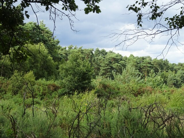
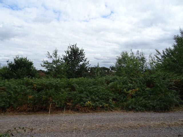
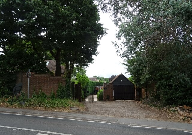
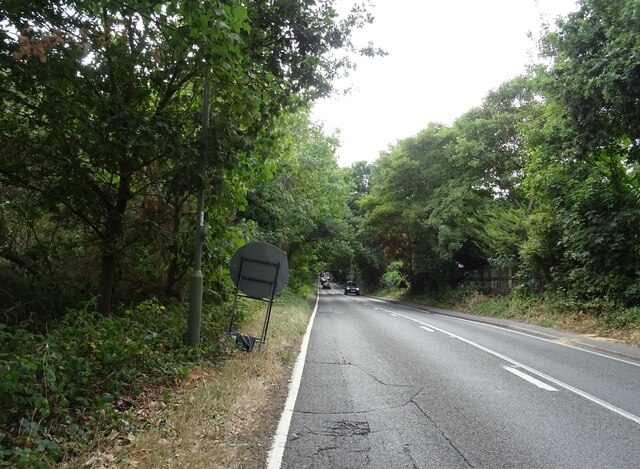
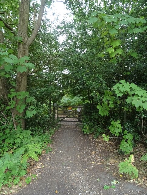
The hill is covered in lush green grass, interspersed with patches of heather and gorse, which create a vibrant and colorful landscape throughout the year. The slopes of Turf Hill are gentle and provide an ideal terrain for walking and hiking enthusiasts. A well-maintained footpath leads to the summit, offering panoramic views of the surrounding countryside, including the nearby villages of Tandridge and Woldingham.

Turf Hill is also home to diverse wildlife, including several species of birds, butterflies, and small mammals. The hill's rich biodiversity attracts nature enthusiasts and birdwatchers, who visit to observe and study the various species that inhabit the area.

For outdoor enthusiasts, Turf Hill provides an excellent opportunity for outdoor recreational activities such as picnicking, kite flying, and photography. The open space and peaceful atmosphere make it a popular spot for families and individuals seeking tranquility away from the bustling city life.

Overall, Turf Hill in Surrey is a beautiful natural landmark, offering stunning views, diverse wildlife, and a peaceful retreat for visitors seeking to immerse themselves in nature.

If you have any feedback on the listing, please let us know in the comments section below.
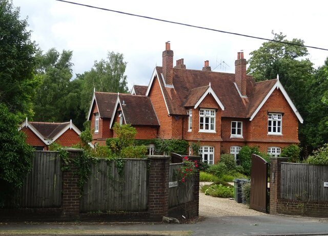
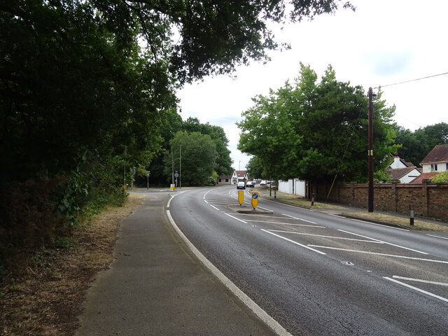
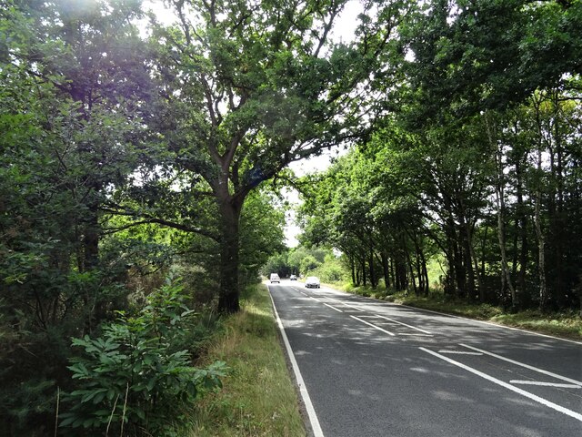
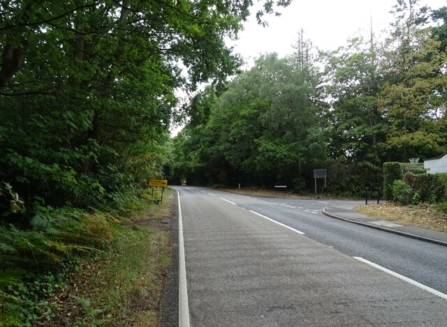
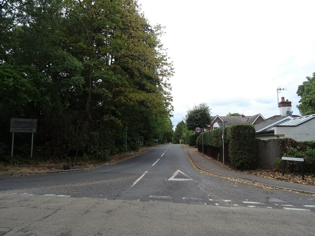
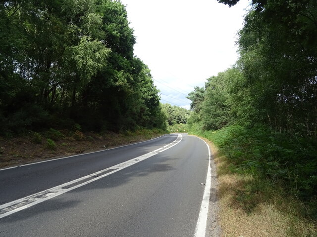
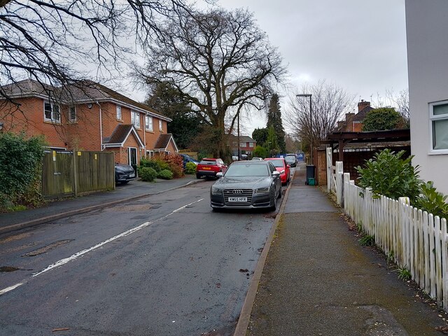
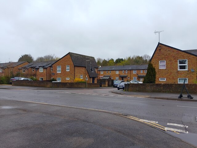
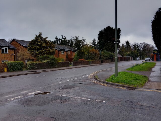
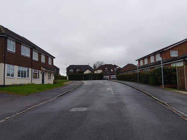
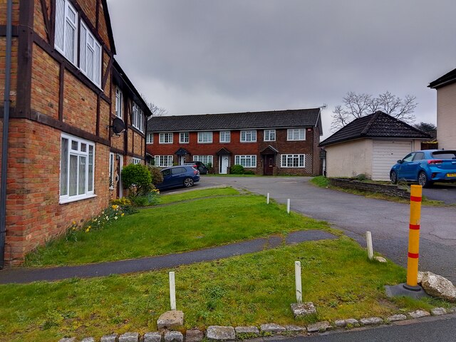
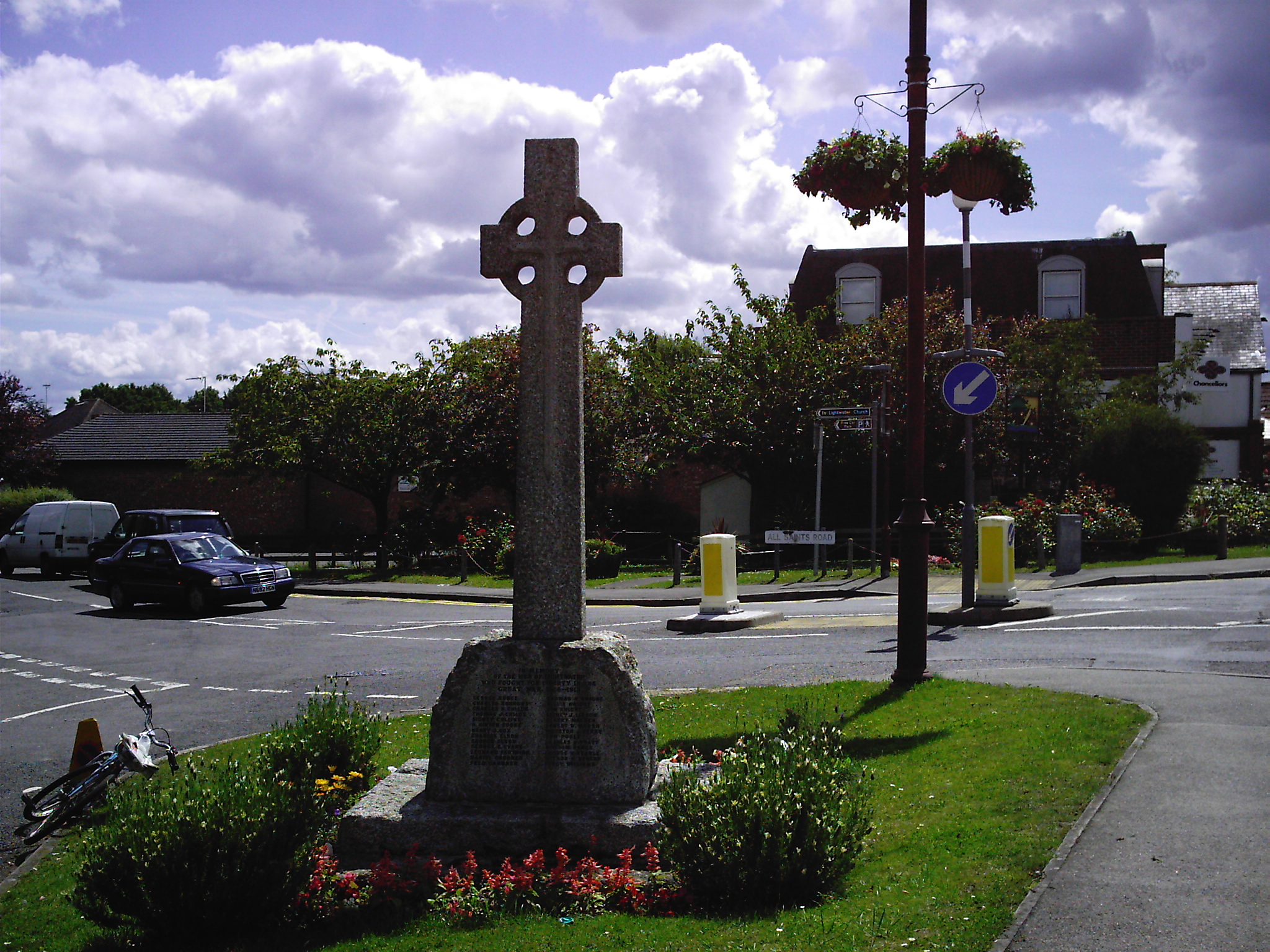
Turf Hill Images

Images are sourced within 2km of 51.345695/-0.66373714 or Grid Reference SU9361. Thanks to Geograph Open Source API. All images are credited.

Mulberry House On Bagshot Road.
Mulberry House
On Bagshot Road.
Bagshot Road (A319)
Bagshot Road (A319)
Woodland, Turf Hill
Woodland, Turf Hill
Red Road (B311) Looking west.
Red Road (B311)
Looking west.
Westend Common South of Red Road.
Westend Common
South of Red Road.
Gateway on Red Road (B311)
Red Road (B311) Towards Frimley.
Red Road (B311)
Towards Frimley.
Path onto Westend Common From Red Road.
Path onto Westend Common
From Red Road.
Red Road (B311) Towards Frimley.
Red Road (B311)
Towards Frimley.
Macdonald Road Off Red Road (B311).
Macdonald Road
Off Red Road (B311).
Red Road (B311)
Red Road (B311)
Elizabeth II postbox on Bagshot Road, West End Postbox No. GU24 6.
Elizabeth II postbox on Bagshot Road, West End
Postbox No. GU24 6.
Catena Rise A cul-de-sac off Guildford Road. At the end is Lightwater Village School.
Catena Rise
A cul-de-sac off Guildford Road. At the end is Lightwater Village School.
Houses on Hammond Way Houses on Hammond Way, viewed from Guildford Road. The other side of the trees is the A322.
Houses on Hammond Way
Houses on Hammond Way, viewed from Guildford Road. The other side of the trees is the A322.
Guildford Road A road between the Lightwater By-pass (A322), serving Lightwater, viewed from Catena Rise.
Guildford Road
A road between the Lightwater By-pass (A322), serving Lightwater, viewed from Catena Rise.
Christie Close A cul-de-sac off All Saints Road. To the right is Lightwater Surgery.
Christie Close
A cul-de-sac off All Saints Road. To the right is Lightwater Surgery.
Houses on Christie Close Houses on Christie Close, set back from the road along a drive.
Houses on Christie Close
Houses on Christie Close, set back from the road along a drive.
Lightwater Surgery car park entrance The entrance to the car park for Lightwater Surgery, off Christie Close.
Lightwater Surgery car park entrance
The entrance to the car park for Lightwater Surgery, off Christie Close.
Show me another place!

Turf Hill is located at Grid Ref: SU9361 (Lat: 51.345695, Lng: -0.66373714)

Administrative County: Surrey

District: Surrey Heath

Police Authority: Surrey

What 3 Words

///scar.soda.noses. Near Lightwater, Surrey

Related Wikis

Lightwater

Lightwater is a village in the Surrey Heath district of Surrey, England, about 27 miles (43 km) southwest of central London. Immediately surrounding towns...

Brentmoor Heath

Brentmoor Heath is a 28.6-hectare (71-acre) Local Nature Reserve east of Camberley in Surrey. It is part of Brentmoor Heath and Folly Bog nature reserve...

Windlesham Arboretum

Windlesham Arboretum is between the villages of Windlesham and Lightwater in Surrey, United Kingdom, just south of Junction 3 on the M3. The arboretum...

Gordon's School

Gordon's School is a secondary school with academy status in West End near Woking, Surrey, England. It was founded as the Gordon Boys' Home in 1885. It...

Nearby Amenities

Located within 500m of 51.345695,-0.66373714
Mini Roundabout
Direction: clockwise
Lat/Long: 51.3499221/-0.6631883
Mini Roundabout
Direction: clockwise
Lat/Long: 51.3490147/-0.6625123
Mini Roundabout
Direction: clockwise
Lat/Long: 51.3501384/-0.663537
Greyspot Hill
Natural: heath
Lat/Long: 51.3418483/-0.6673875
Power: tower
Lat/Long: 51.3435699/-0.6657419
Power: tower
Lat/Long: 51.3447289/-0.6606426
Bus Stop
Blackstroud Lane
Naptan AtcoCode: 40004403049A
Naptan Bearing: SE
Naptan CommonName: Blackstroud Lane
Naptan Indicator: Just Before
Naptan Landmark: Blackstroud Lane
Naptan NaptanCode: surgagam
Naptan Street: Guildford Road
Naptan Verified: no
Public Transport: platform
Source: naptan_import
Lat/Long: 51.3474721/-0.6580911
Bus Stop
Blackstroud Lane
Naptan AtcoCode: 40004403049B
Naptan Bearing: NW
Naptan CommonName: Blackstroud Lane
Naptan Indicator: Just after
Naptan Landmark: Blackstroud Lane
Naptan NaptanCode: surgagap
Naptan Street: Guildford Road
Naptan Verified: no
Public Transport: platform
Source: naptan_import
Lat/Long: 51.3473575/-0.6580909
Bus Stop
Colville Gardens
Naptan AtcoCode: 40004403179A
Naptan Bearing: SW
Naptan CommonName: Colville Gardens
Naptan Indicator: adj
Naptan Landmark: Colville Gardens
Naptan NaptanCode: surgatam
Naptan Street: Lightwater Road
Naptan Verified: no
Public Transport: platform
Source: naptan_import
Lat/Long: 51.3470297/-0.6663574
Bus Stop
Colville Gardens
Naptan AtcoCode: 40004403179B
Naptan Bearing: NE
Naptan CommonName: Colville Gardens
Naptan Indicator: Opp
Naptan Landmark: Colville Gardens
Naptan NaptanCode: surgatap
Naptan Street: Lightwater Road
Naptan Verified: no
Public Transport: platform
Source: naptan_import
Lat/Long: 51.3471772/-0.6663926
Bus Stop
Lightwater Road
Naptan AtcoCode: 40004403908A
Naptan Bearing: SW
Naptan BusStopType: CUS
Naptan CommonName: Lightwater Road
Naptan Indicator: Just after
Naptan Landmark: Lightwater Road
Naptan NaptanCode: surgpmdp
Naptan Street: Red Road
Naptan Verified: no
Public Transport: platform
Source: naptan_import
Lat/Long: 51.3447627/-0.6701986
Bus Stop
Lightwater Road
Naptan AtcoCode: 40004403908B
Naptan Bearing: NE
Naptan CommonName: Lightwater Road
Naptan Indicator: Just before
Naptan Landmark: Lightwater Road
Naptan NaptanCode: surgdagp
Naptan Street: Red Road
Naptan Verified: no
Public Transport: platform
Source: naptan_import
Lat/Long: 51.3448255/-0.6703965
Crossing
Crossing: unmarked
Kerb: lowered
Sloped Curb: yes
Source: Surrey Air Survey
Lat/Long: 51.3500903/-0.6636551
Turf Hill
Natural: peak
Source: OS_OpenData_StreetView
Lat/Long: 51.34527/-0.6646129
Gason's Hill
Place: locality
Lat/Long: 51.3495563/-0.6638463
Lightwater Farm
Historic Place: farm
Lat/Long: 51.3455796/-0.6687595
Description: Round Barrow
Historic: archaeological_site
Lat/Long: 51.3435999/-0.6594255
Description: Round Barrow
Historic: archaeological_site
Lat/Long: 51.343506/-0.6597466
Description: Round Barrow
Historic: archaeological_site
Lat/Long: 51.3434171/-0.6600109
Barrier: bollard
Lat/Long: 51.3457865/-0.666015
Barrier: bollard
Lat/Long: 51.3452919/-0.6682653
Barrier: kerb
Lat/Long: 51.3452619/-0.6682741
Barrier: bollard
Lat/Long: 51.3473788/-0.6582274
Barrier: kerb
Lat/Long: 51.3454365/-0.6683987
Crossing
Crossing: unmarked
Kerb: lowered
Sloped Curb: yes
Source: Surrey Air Survey
Lat/Long: 51.349164/-0.6626153
Crossing
Crossing: unmarked
Kerb: lowered
Sloped Curb: yes
Source: Surrey Air Survey
Lat/Long: 51.3500206/-0.66334
Crossing
Crossing: unmarked
Kerb: lowered
Sloped Curb: yes
Source: Surrey Air Survey
Lat/Long: 51.3500803/-0.6630316
Building: house
Source: Bing
Lat/Long: 51.3456355/-0.6660731
Building: house
Source: Bing
Lat/Long: 51.3452785/-0.6656324
Building: house
Source: Bing
Lat/Long: 51.3454158/-0.6658014
Building: house
Source: Bing
Lat/Long: 51.3457006/-0.6655117
Building: house
Source: Bing
Lat/Long: 51.3453407/-0.6673177
Building: house
Source: Bing
Lat/Long: 51.3453187/-0.6667509
Building: house
Source: Bing
Lat/Long: 51.3453321/-0.6661233
Building: house
Source: Bing
Lat/Long: 51.3444326/-0.668184
Building: house
Source: Bing
Lat/Long: 51.3441092/-0.6684227
Building: house
Source: Bing
Lat/Long: 51.3449988/-0.6682967
Vickery
Office: estate_agent
Lat/Long: 51.3501838/-0.6638811
Generator Method: photovoltaic
Generator Output Electricity: yes
Generator Source: solar
Generator Type: solar_photovoltaic_panel
Location: roof
Power: generator
Lat/Long: 51.3496008/-0.6647573
Generator Method: photovoltaic
Generator Output Electricity: yes
Generator Source: solar
Generator Type: solar_photovoltaic_panel
Location: roof
Power: generator
Lat/Long: 51.3485287/-0.6635034
Generator Method: photovoltaic
Generator Output Electricity: yes
Generator Source: solar
Generator Type: solar_photovoltaic_panel
Location: roof
Power: generator
Lat/Long: 51.3486476/-0.6628463
Generator Method: photovoltaic
Generator Output Electricity: yes
Generator Source: solar
Generator Type: solar_photovoltaic_panel
Location: roof
Power: generator
Lat/Long: 51.3484885/-0.6633827
Generator Method: photovoltaic
Generator Output Electricity: yes
Generator Source: solar
Generator Type: solar_photovoltaic_panel
Location: roof
Power: generator
Lat/Long: 51.346912/-0.6686667
Generator Method: photovoltaic
Generator Output Electricity: yes
Generator Source: solar
Generator Type: solar_photovoltaic_panel
Location: roof
Power: generator
Lat/Long: 51.3455935/-0.6679425
Generator Method: photovoltaic
Generator Output Electricity: yes
Generator Source: solar
Generator Type: solar_photovoltaic_panel
Location: roof
Power: generator
Lat/Long: 51.3473174/-0.6620631
Generator Method: photovoltaic
Generator Output Electricity: yes
Generator Source: solar
Generator Type: solar_photovoltaic_panel
Location: roof
Power: generator
Lat/Long: 51.3480479/-0.6578895
Generator Method: photovoltaic
Generator Output Electricity: yes
Generator Source: solar
Generator Type: solar_photovoltaic_panel
Location: roof
Power: generator
Lat/Long: 51.3498052/-0.6635101
Colour: white
Marker: post
Material: concrete
Utility: oil
Lat/Long: 51.3443944/-0.6632579
Colour: white
Marker: post
Material: concrete
Utility: oil
Lat/Long: 51.3443757/-0.6631571
Colour: yellow
Marker: post
Material: plastic
Utility: gas
Lat/Long: 51.3443958/-0.6632751
The data included in this document is from www.openstreetmap.org. The data is made available under ODbL.

Have you been to Turf Hill?

Leave your review of Turf Hill below (or comments, questions and feedback).