Bosom Hill
Hill, Mountain in Lincolnshire South Kesteven
England
Bosom Hill

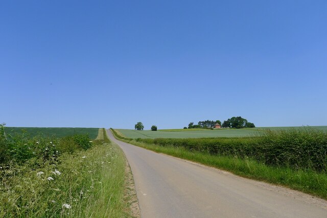
Bosom Hill is a small, picturesque hill located in the county of Lincolnshire, England. Situated near the village of Wainfleet All Saints, this hill is a popular destination for nature lovers and hikers. Although referred to as a hill, it is more accurately described as a gentle slope, rising to a maximum elevation of around 60 meters (197 feet) above sea level.
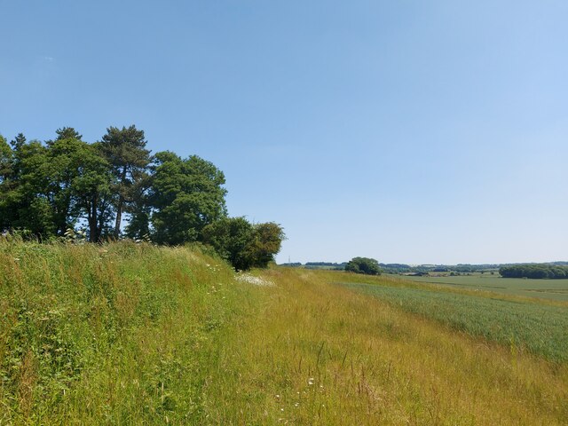
The hill is primarily covered in lush green grass, dotted with patches of wildflowers during the spring and summer months. It offers breathtaking panoramic views of the surrounding countryside, with its gentle slopes and rolling farmland stretching as far as the eye can see. On clear days, visitors can even catch a glimpse of the North Sea in the distance.
Bosom Hill is home to a variety of wildlife, including rabbits, hares, and a range of bird species. It is a designated Site of Special Scientific Interest (SSSI), as it supports a diverse range of plant life, including several rare and protected species.
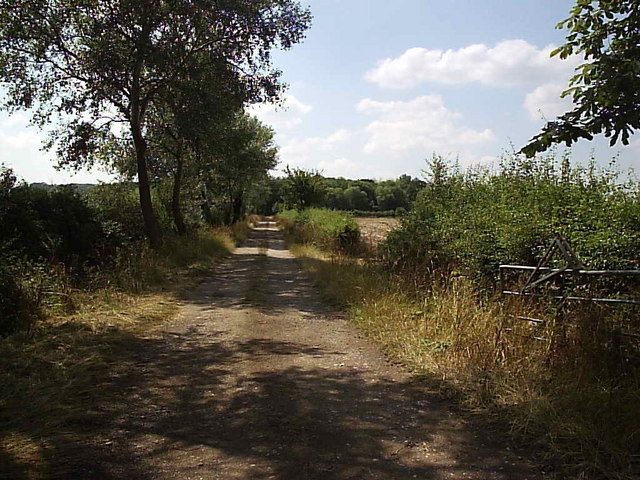
The hill is easily accessible, with a well-maintained footpath leading to the summit. It is a popular spot for leisurely walks and picnics, offering a peaceful and serene atmosphere away from the hustle and bustle of city life.
Overall, Bosom Hill provides a tranquil and scenic escape, allowing visitors to appreciate the natural beauty of Lincolnshire's countryside.
If you have any feedback on the listing, please let us know in the comments section below.
Bosom Hill Images
Images are sourced within 2km of 53.006538/-0.62761347 or Grid Reference SK9246. Thanks to Geograph Open Source API. All images are credited.


Bosom Hill is located at Grid Ref: SK9246 (Lat: 53.006538, Lng: -0.62761347)
Administrative County: Lincolnshire
District: South Kesteven
Police Authority: Lincolnshire
What 3 Words
///burying.challenge.stooping. Near Caythorpe, Lincolnshire
Nearby Locations
Related Wikis

Hough-on-the-Hill
Hough-on-the-Hill is a village and civil parish in the South Kesteven district of Lincolnshire, England. The population of the civil parish including Brandon...

Gelston, Lincolnshire
Gelston is a village in the South Kesteven district of Lincolnshire, England. It is 2 miles (3 km) west from the A607 road, 5 miles (8 km) north from Grantham...

Frieston
Frieston is a village in the South Kesteven district of Lincolnshire, England. It is situated just west of the A607 road, and 7 miles (11 km) north from...

Brandon, Lincolnshire
Brandon is a small village in South Kesteven, south Lincolnshire, England, part of the civil parish of Hough-on-the-Hill (where the population is listed...
Caythorpe, Lincolnshire
Caythorpe is a large village and civil parish in the South Kesteven district of Lincolnshire, England. The population at 2011 census was 1,374. It is situated...
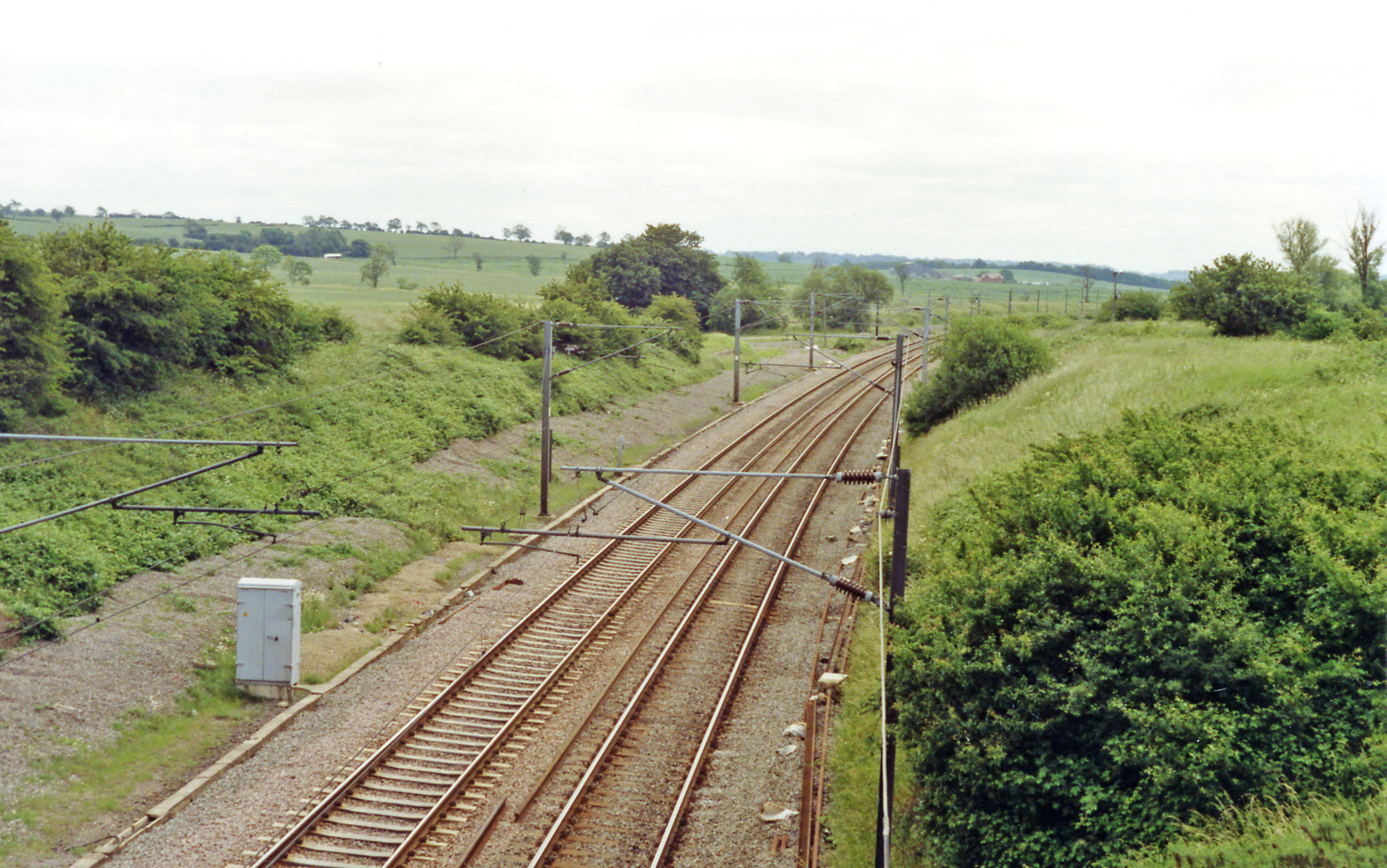
Hougham railway station
Hougham railway station is a former railway station in Hougham, Lincolnshire. The station was about a mile east of the village of Hougham itself and was...
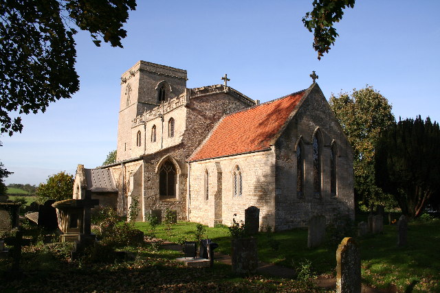
St Nicholas Church, Normanton
St Nicholas Church is a redundant Anglican church in Normanton-on-Cliffe, Lincolnshire, England. It is recorded in the National Heritage List for England...

Normanton-on-Cliffe
Normanton-on-Cliffe, sometimes known as Normanton, is a village and civil parish in the South Kesteven district of Lincolnshire, England. It lies on the...
Nearby Amenities
Located within 500m of 53.006538,-0.62761347Have you been to Bosom Hill?
Leave your review of Bosom Hill below (or comments, questions and feedback).