Flat Cliff

Hill, Mountain in Lincolnshire South Kesteven

England

Flat Cliff

Jericho Wood Sitting on the northern end of Great Gonerby's ridge.
This is a difficult square to Geograph, with no easy access other than by the occasional direct train between Grantham and Ancaster. And then, as the train speeds along just the few hundred yards not in a cutting (with trees obscuring the view over half of that), just seconds in which to take a picture.
Jericho Wood Credit: Tim Heaton

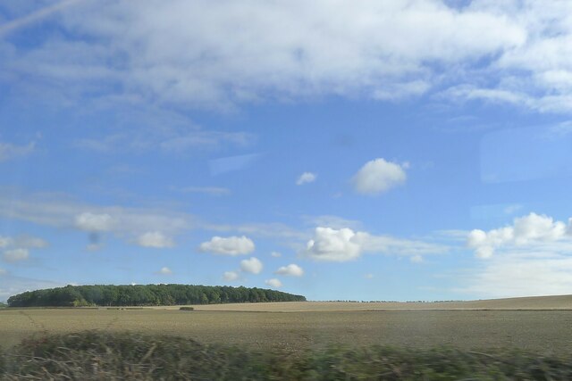
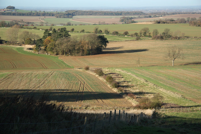
Flat Cliff is a prominent geographical feature located in Lincolnshire, a county in eastern England. Contrary to its name, it is not actually a flat landmass but rather a hill or mountain, although its elevation is relatively modest compared to other mountainous regions. It is situated near the village of Welton le Marsh, approximately 6 kilometers northwest of the town of Spilsby.

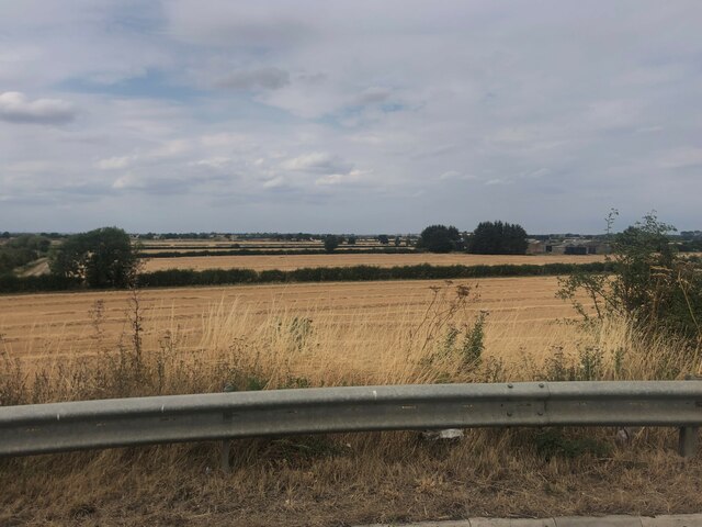
Rising to a height of around 130 meters above sea level, Flat Cliff offers breathtaking panoramic views of the surrounding countryside, including the Lincolnshire Wolds Area of Outstanding Natural Beauty. It is composed primarily of limestone, which gives it a distinctive appearance and provides a suitable habitat for a variety of plant and animal species.

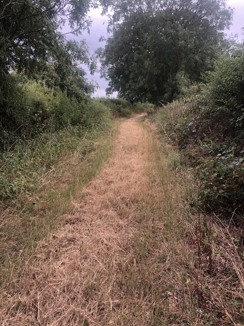
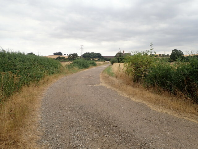
The hill is a popular destination for hikers and nature enthusiasts due to its scenic beauty and the opportunity to observe wildlife in its natural habitat. Additionally, the area surrounding Flat Cliff is dotted with walking trails and footpaths, allowing visitors to explore the picturesque landscape at their own pace.

Flat Cliff also holds historical significance, as it is believed to have served as a lookout point during World War II, allowing for the monitoring of potential enemy activity along the nearby coastline.

Overall, Flat Cliff in Lincolnshire offers a unique blend of natural beauty, recreational opportunities, and historical interest, making it a must-visit location for those seeking to immerse themselves in the charm of the English countryside.

If you have any feedback on the listing, please let us know in the comments section below.
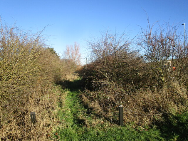
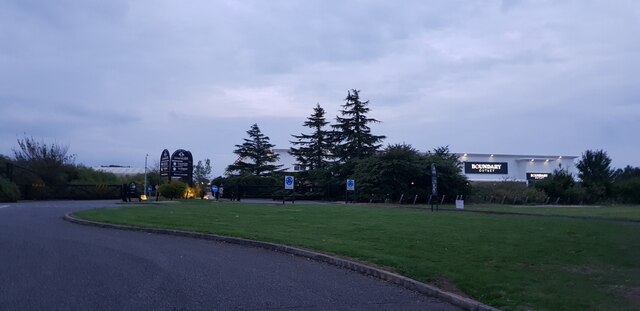
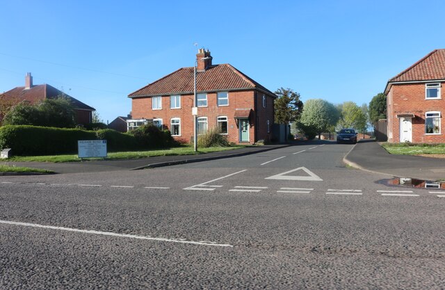
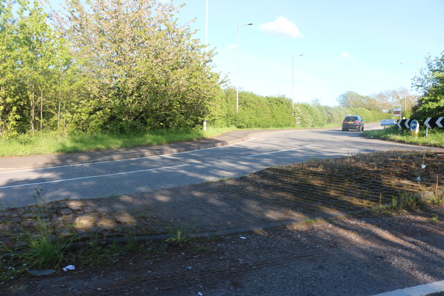
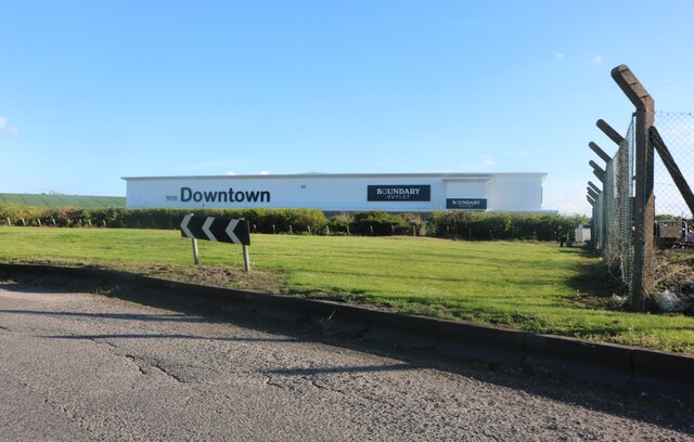
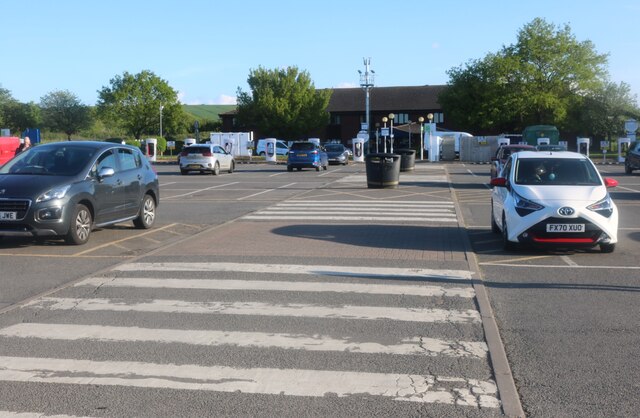
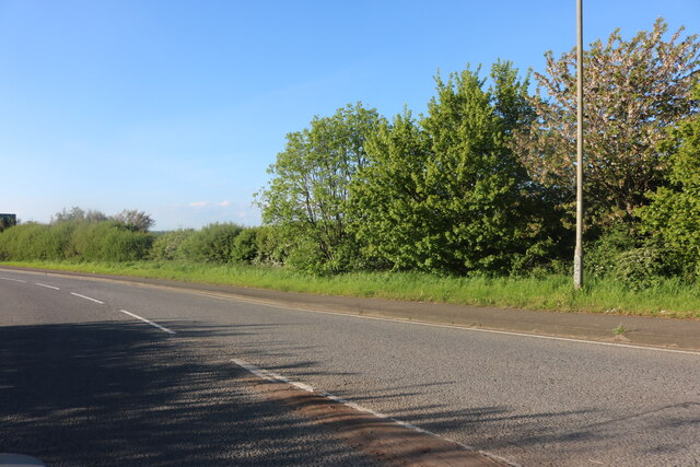
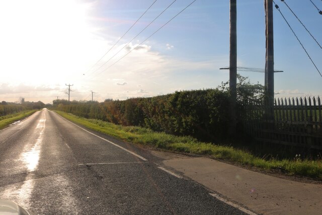
Flat Cliff Images

Images are sourced within 2km of 52.94522/-0.66247522 or Grid Reference SK8939. Thanks to Geograph Open Source API. All images are credited.

Jericho Wood Sitting on the northern end of Great Gonerby's ridge.
This is a difficult square to Geograph, with no easy access other than by the occasional direct train between Grantham and Ancaster. And then, as the train speeds along just the few hundred yards not in a cutting (with trees obscuring the view over half of that), just seconds in which to take a picture.
Jericho Wood
Sitting on the northern end of Great Gonerby's ridge. This is a difficult square to Geograph, with no easy access other than by the occasional direct train between Grantham and Ancaster. And then, as the train speeds along just the few hundred yards not in a cutting (with trees obscuring the view over half of that), just seconds in which to take a picture.
Harvested wheatfields, waiting for baling the straw
Footpath Heading south towards Oakdale Farm
Footpath
Heading south towards Oakdale Farm
Oakdale Farm
Oakdale Farm
Solitary Tesla Model 3 at Grantham Supercharger There are 16 superchargers near to the Moto Services.
Solitary Tesla Model 3 at Grantham Supercharger
There are 16 superchargers near to the Moto Services.
Path alongside Occupation Road Follows the original alignment of the road.
Path alongside Occupation Road
Follows the original alignment of the road.
Car park at Grantham Services Looking across part of the services at Grantham from near to the Travelodge.
Car park at Grantham Services
Looking across part of the services at Grantham from near to the Travelodge.
Towards Boundary Mill Looking across part of the services at Grantham from near to the Travelodge.
Towards Boundary Mill
Looking across part of the services at Grantham from near to the Travelodge.
Boundary Outlet, Downtown, Gonerby Moor, Grantham This unit forms part of an edge-of-town shopping complex adjacent to the busy A1 which is owned and operated by the company Oldrids. Founded in 1804, Oldrids have a proud heritage spanning over two hundred years. Starting out as a Draper’s store in Boston the company has continued to grow and innovate over time and were one of the first businesses in the UK to develop edge-of- town retailing in the 1970’s. This part of the site was developed in 1989 in a tie-up with Boundary Mills who lease half of the building.  A separate Downtown branded garden centre was added to the site in 1998.
Boundary Outlet, Downtown, Gonerby Moor, Grantham
This unit forms part of an edge-of-town shopping complex adjacent to the busy A1 which is owned and operated by the company Oldrids. Founded in 1804, Oldrids have a proud heritage spanning over two hundred years. Starting out as a Draper’s store in Boston the company has continued to grow and innovate over time and were one of the first businesses in the UK to develop edge-of- town retailing in the 1970’s. This part of the site was developed in 1989 in a tie-up with Boundary Mills who lease half of the building. A separate Downtown branded garden centre was added to the site in 1998.
Kelham Road, Great Gonerby From Gonerby Road
Kelham Road, Great Gonerby
From Gonerby Road
Roundabout on Great North Road, Gonerby Moor
Downtown Boundary Outlet, Gonerby Moor
Grantham North Services, Gonerby Moor
Grantham North Services car park, Gonerby Moor
Great North Road, Gonerby Moor
Gonerby Lane, Gonerby Moor
Field entrance off Gonerby Lane, Gonerby Moor
The A1, Great Gonerby
Show me another place!

Flat Cliff is located at Grid Ref: SK8939 (Lat: 52.94522, Lng: -0.66247522)

Administrative County: Lincolnshire

District: South Kesteven

Police Authority: Lincolnshire

What 3 Words

///jelly.unpainted.upstarts. Near Great Gonerby, Lincolnshire

Related Wikis

Oak Bank School

Oak Bank School is a co-educational special school with academy status located in Leighton Buzzard, Bedfordshire, England. The school accepts pupils from...

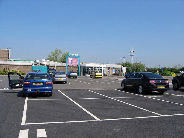
Grantham North services

Grantham North Services is a service area operated by Moto located on the A1 at Gonerby Moor Roundabout, four miles north of Grantham in Lincolnshire,...
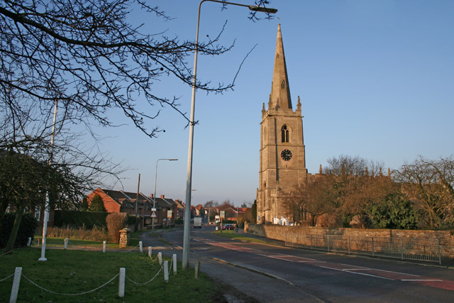
Great Gonerby

Great Gonerby is a village and civil parish in the South Kesteven district of Lincolnshire, England. The population of the civil parish at the 2011 census...

Belton and Manthorpe

Belton and Manthorpe is a civil parish in the South Kesteven district of Lincolnshire, England, consisting of Belton and Manthorpe, just north of Grantham...

Nearby Amenities

Located within 500m of 52.94522,-0.66247522
Power: tower
Source: Bing
Lat/Long: 52.9453457/-0.6611835
Power: tower
Source: Bing
Lat/Long: 52.9431106/-0.6595455
Power: tower
Source: Bing
Lat/Long: 52.9475764/-0.6628183
Ele: 112
Natural: peak
Source: Bing
Lat/Long: 52.9450389/-0.6622447
Hook Cliff
Place: locality
Source: Bing
Lat/Long: 52.9428373/-0.6645096
Hook Cliff Farm
Place: farm
Source: Bing
Lat/Long: 52.9459714/-0.6670134
The data included in this document is from www.openstreetmap.org. The data is made available under ODbL.

Have you been to Flat Cliff?

Leave your review of Flat Cliff below (or comments, questions and feedback).