Belton Gorse

Wood, Forest in Lincolnshire South Kesteven

England

Belton Gorse

Jericho Wood Sitting on the northern end of Great Gonerby's ridge.
This is a difficult square to Geograph, with no easy access other than by the occasional direct train between Grantham and Ancaster. And then, as the train speeds along just the few hundred yards not in a cutting (with trees obscuring the view over half of that), just seconds in which to take a picture.
Jericho Wood Credit: Tim Heaton

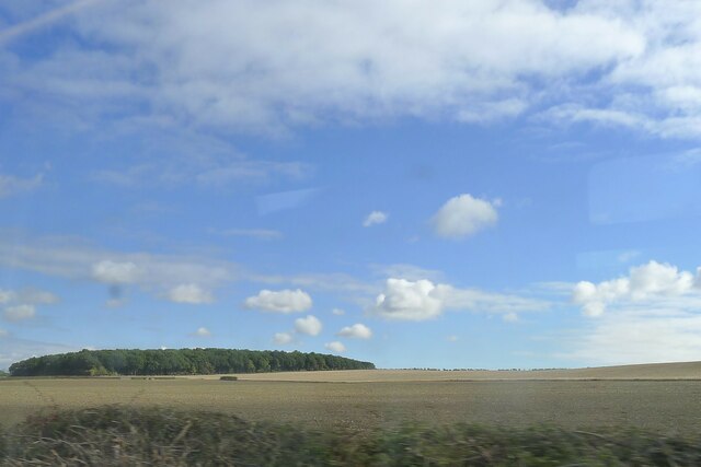
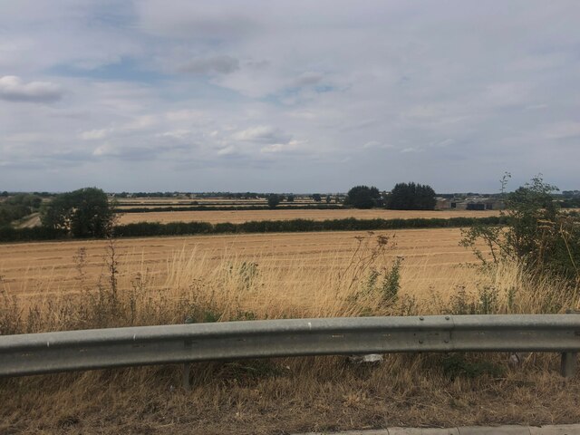
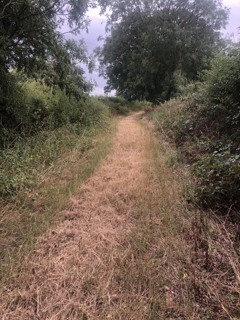
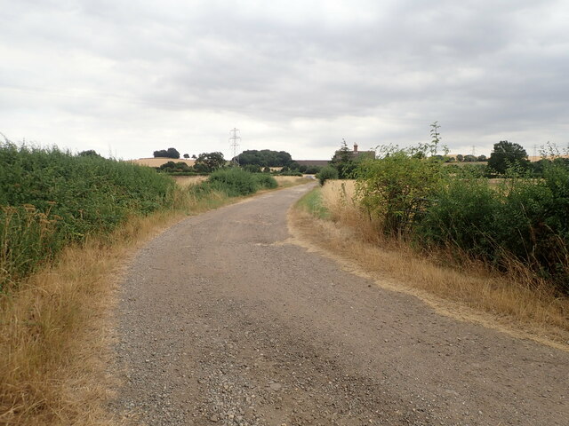
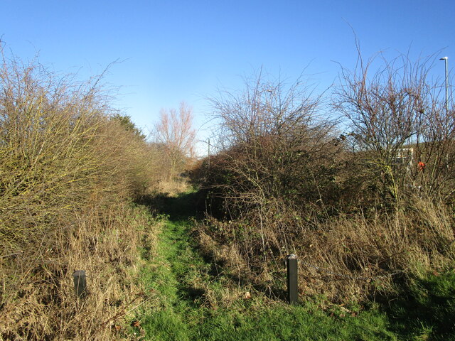
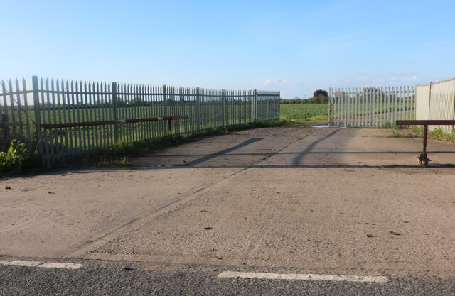
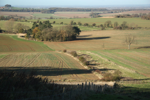
Belton Gorse is a woodland area located in Lincolnshire, England. Covering an area of approximately 100 hectares, it is a picturesque woodland that offers a tranquil and serene atmosphere for nature lovers and outdoor enthusiasts alike. The woodland is situated near the village of Belton, and can be easily accessed via well-maintained footpaths.

Belton Gorse is predominantly composed of deciduous trees, including oak, birch, and beech, which provide a stunning display of vibrant colors during the autumn season. The woodland floor is covered in a lush carpet of ferns, bluebells, and other wildflowers, adding to its natural beauty. It is also home to an array of wildlife, including various species of birds, mammals, and insects.

The woodland offers several walking trails and cycling routes, allowing visitors to explore its diverse ecosystem and enjoy the peaceful surroundings. The paths are well-marked and maintained, making it accessible for people of all ages and fitness levels.

Belton Gorse is a popular destination for outdoor activities such as picnicking, birdwatching, and photography. It provides an ideal setting for nature enthusiasts to observe and appreciate the local flora and fauna. The woodland is also a haven for wildlife photographers, as it offers ample opportunities to capture stunning images of birds, deer, and other animals in their natural habitat.

Overall, Belton Gorse is a beautiful woodland area in Lincolnshire that offers a peaceful retreat from the hustle and bustle of everyday life. Its natural beauty, diverse wildlife, and well-maintained trails make it a perfect destination for nature lovers and outdoor enthusiasts seeking a quiet escape into nature.

If you have any feedback on the listing, please let us know in the comments section below.

Belton Gorse Images

Images are sourced within 2km of 52.945765/-0.6637681 or Grid Reference SK8939. Thanks to Geograph Open Source API. All images are credited.

Jericho Wood Sitting on the northern end of Great Gonerby's ridge.
This is a difficult square to Geograph, with no easy access other than by the occasional direct train between Grantham and Ancaster. And then, as the train speeds along just the few hundred yards not in a cutting (with trees obscuring the view over half of that), just seconds in which to take a picture.
Jericho Wood
Sitting on the northern end of Great Gonerby's ridge. This is a difficult square to Geograph, with no easy access other than by the occasional direct train between Grantham and Ancaster. And then, as the train speeds along just the few hundred yards not in a cutting (with trees obscuring the view over half of that), just seconds in which to take a picture.
Harvested wheatfields, waiting for baling the straw
Footpath Heading south towards Oakdale Farm
Footpath
Heading south towards Oakdale Farm
Oakdale Farm
Oakdale Farm
Solitary Tesla Model 3 at Grantham Supercharger There are 16 superchargers near to the Moto Services.
Solitary Tesla Model 3 at Grantham Supercharger
There are 16 superchargers near to the Moto Services.
Path alongside Occupation Road Follows the original alignment of the road.
Path alongside Occupation Road
Follows the original alignment of the road.
Car park at Grantham Services Looking across part of the services at Grantham from near to the Travelodge.
Car park at Grantham Services
Looking across part of the services at Grantham from near to the Travelodge.
Towards Boundary Mill Looking across part of the services at Grantham from near to the Travelodge.
Towards Boundary Mill
Looking across part of the services at Grantham from near to the Travelodge.
Boundary Outlet, Downtown, Gonerby Moor, Grantham This unit forms part of an edge-of-town shopping complex adjacent to the busy A1 which is owned and operated by the company Oldrids. Founded in 1804, Oldrids have a proud heritage spanning over two hundred years. Starting out as a Draper’s store in Boston the company has continued to grow and innovate over time and were one of the first businesses in the UK to develop edge-of- town retailing in the 1970’s. This part of the site was developed in 1989 in a tie-up with Boundary Mills who lease half of the building.  A separate Downtown branded garden centre was added to the site in 1998.
Boundary Outlet, Downtown, Gonerby Moor, Grantham
This unit forms part of an edge-of-town shopping complex adjacent to the busy A1 which is owned and operated by the company Oldrids. Founded in 1804, Oldrids have a proud heritage spanning over two hundred years. Starting out as a Draper’s store in Boston the company has continued to grow and innovate over time and were one of the first businesses in the UK to develop edge-of- town retailing in the 1970’s. This part of the site was developed in 1989 in a tie-up with Boundary Mills who lease half of the building. A separate Downtown branded garden centre was added to the site in 1998.
Kelham Road, Great Gonerby From Gonerby Road
Kelham Road, Great Gonerby
From Gonerby Road
Roundabout on Great North Road, Gonerby Moor
Downtown Boundary Outlet, Gonerby Moor
Grantham North Services, Gonerby Moor
Grantham North Services car park, Gonerby Moor
Great North Road, Gonerby Moor
Gonerby Lane, Gonerby Moor
Field entrance off Gonerby Lane, Gonerby Moor
The A1, Great Gonerby
Show me another place!

Belton Gorse is located at Grid Ref: SK8939 (Lat: 52.945765, Lng: -0.6637681)

Administrative County: Lincolnshire

District: South Kesteven

Police Authority: Lincolnshire

What 3 Words

///emulated.link.woof. Near Great Gonerby, Lincolnshire

Related Wikis

Oak Bank School

Oak Bank School is a co-educational special school with academy status located in Leighton Buzzard, Bedfordshire, England. The school accepts pupils from...

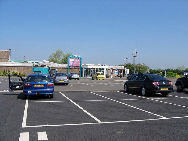
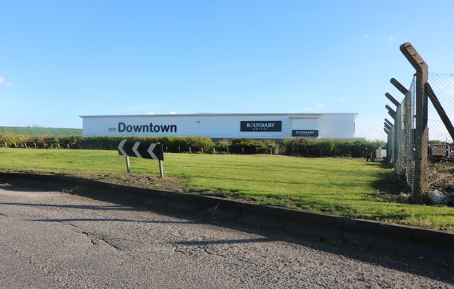
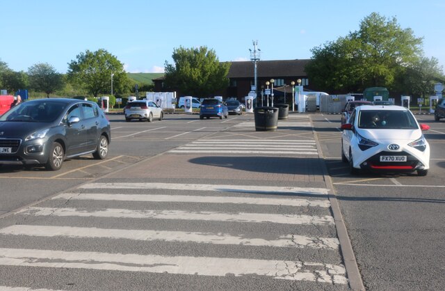
Grantham North services

Grantham North Services is a service area operated by Moto located on the A1 at Gonerby Moor Roundabout, four miles north of Grantham in Lincolnshire,...
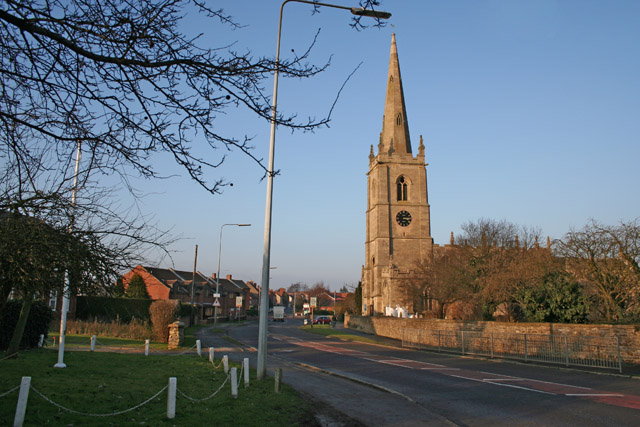
Great Gonerby

Great Gonerby is a village and civil parish in the South Kesteven district of Lincolnshire, England. The population of the civil parish at the 2011 census...

Belton and Manthorpe

Belton and Manthorpe is a civil parish in the South Kesteven district of Lincolnshire, England, consisting of Belton and Manthorpe, just north of Grantham...

Murder of Julie Pacey

The murder of Julie Pacey (1955/1956 – 26 September 1994) was a mysterious, and still unsolved, murder of a mother in her own home in Grantham, England...

Barkston railway station

Barkston railway station is a former station serving the village of Barkston, Lincolnshire. It was on the Great Northern Railway main line near to the...

Manthorpe, Grantham

Manthorpe is a village in the South Kesteven district of Lincolnshire, England. It is on the northern edge of the town of Grantham and on the Grantham...

Central Technology and Sports College

Central Technology & Sports College was a secondary school in the north of Grantham in Lincolnshire, England. It became part of The Priory Ruskin Academy...

Nearby Amenities

Located within 500m of 52.945765,-0.6637681
Power: tower
Source: Bing
Lat/Long: 52.9453457/-0.6611835
Power: tower
Source: Bing
Lat/Long: 52.9431106/-0.6595455
Power: tower
Source: Bing
Lat/Long: 52.9475764/-0.6628183
Power: tower
Source: Bing
Lat/Long: 52.9498453/-0.6644813
Ele: 112
Natural: peak
Source: Bing
Lat/Long: 52.9450389/-0.6622447
Hook Cliff
Place: locality
Source: Bing
Lat/Long: 52.9428373/-0.6645096
Hook Cliff Farm
Place: farm
Source: Bing
Lat/Long: 52.9459714/-0.6670134
The data included in this document is from www.openstreetmap.org. The data is made available under ODbL.

Have you been to Belton Gorse?

Leave your review of Belton Gorse below (or comments, questions and feedback).