Blacksmith's Hill

Hill, Mountain in Berkshire

England

Blacksmith's Hill

Looking eastwards along the A329 (taken from outside All Saints, Ascot Heath)
Looking eastwards along the A329 Credit: Basher Eyre

Blacksmith's Hill is a prominent hill located in the county of Berkshire, England. Situated in the southern part of the county, it forms part of the Berkshire Downs, a range of chalk hills and ridges. With an elevation of approximately 225 meters (738 feet), it offers stunning panoramic views of the surrounding countryside.

The hill derives its name from the historical presence of blacksmiths in the area who used the hillside as a convenient location for their workshops. It is believed that the blacksmiths took advantage of the hill's natural resources, such as iron ore and wood, to carry out their craft.

Blacksmith's Hill is a popular destination for outdoor enthusiasts and nature lovers. Its gentle slopes and well-maintained footpaths make it an ideal location for hiking, walking, and picnicking. The hill is also home to a diverse range of flora and fauna, including wildflowers, butterflies, and a variety of bird species, making it a haven for wildlife enthusiasts and photographers.

Moreover, the hill has a rich cultural and historical significance. It is known to have archaeological remains dating back to the Iron Age, with evidence of human occupation and various ancient earthworks found in the vicinity.

Overall, Blacksmith's Hill, Berkshire, offers a combination of natural beauty, historical significance, and recreational opportunities, making it a cherished landmark in the county.

If you have any feedback on the listing, please let us know in the comments section below.

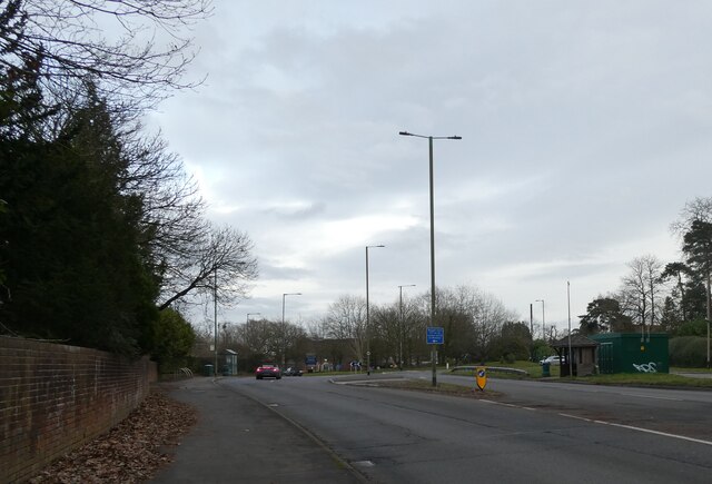
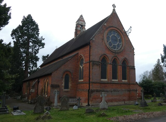
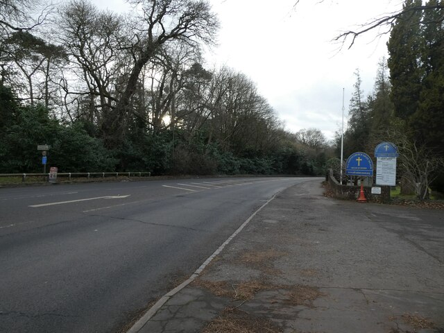
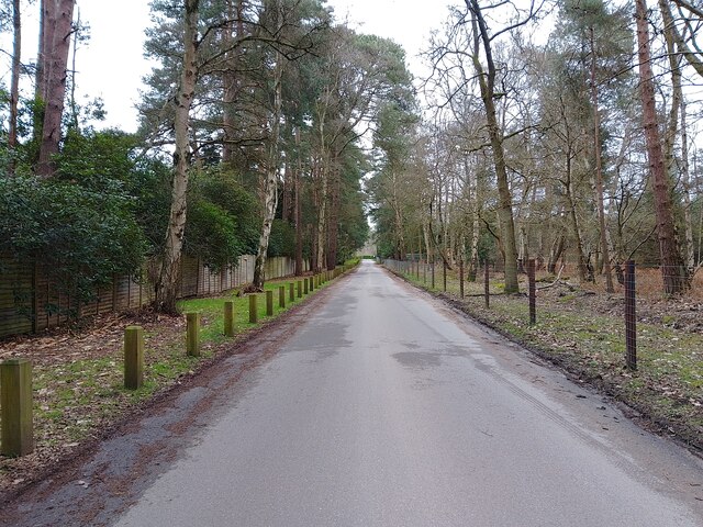
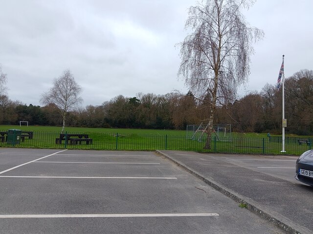
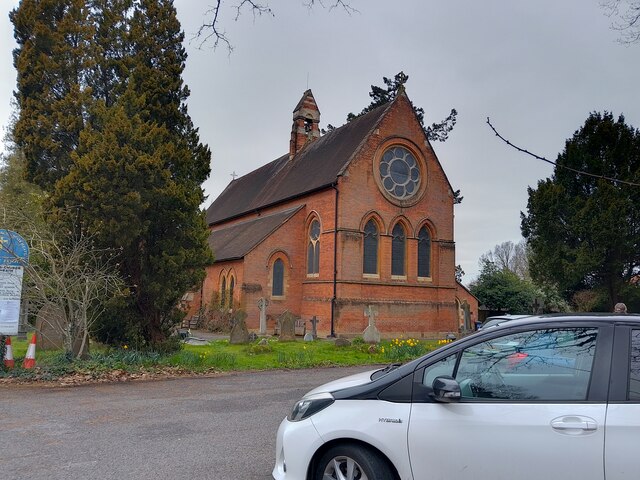
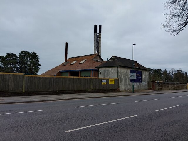
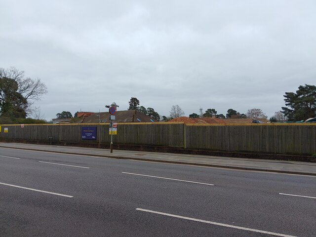
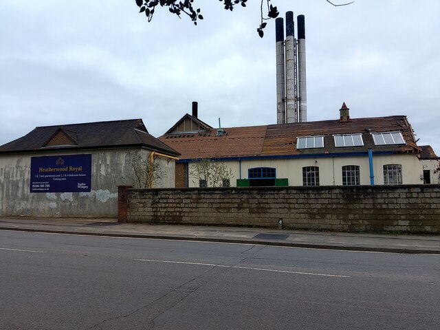
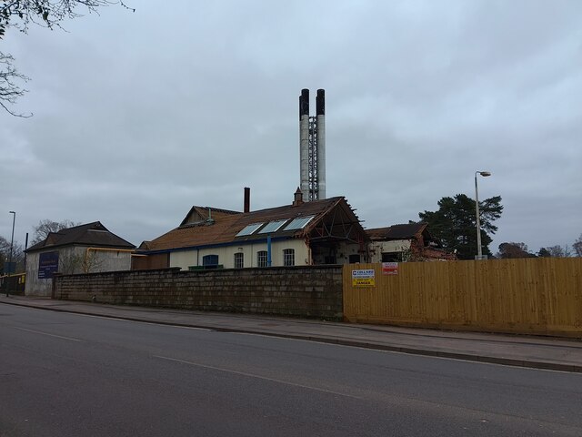
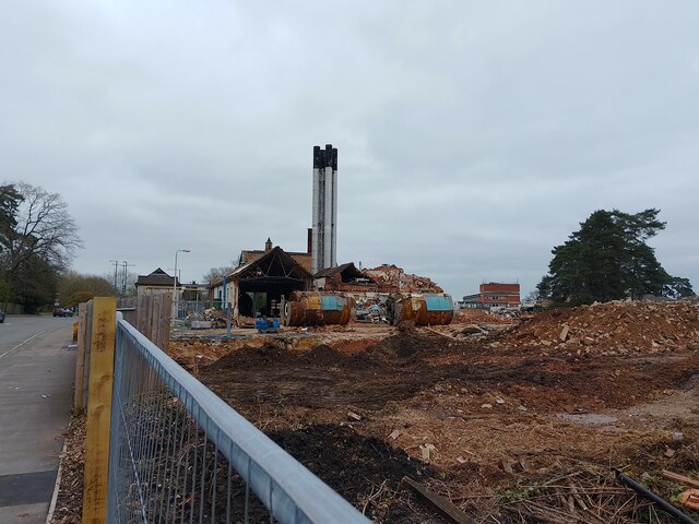
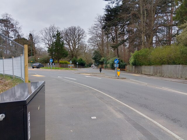
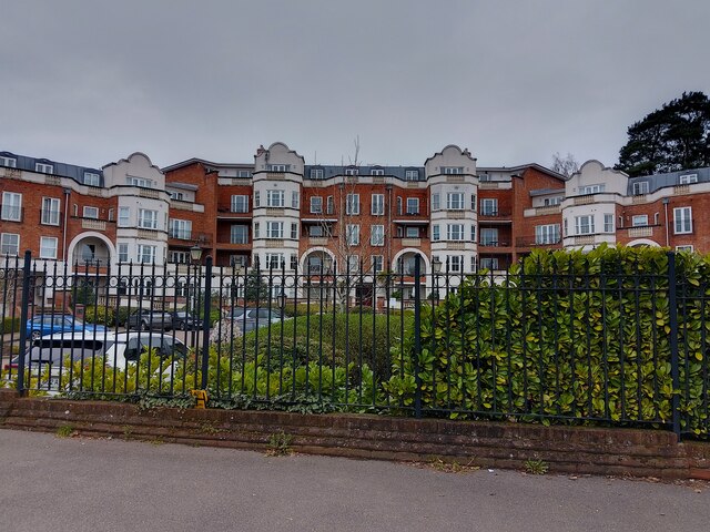
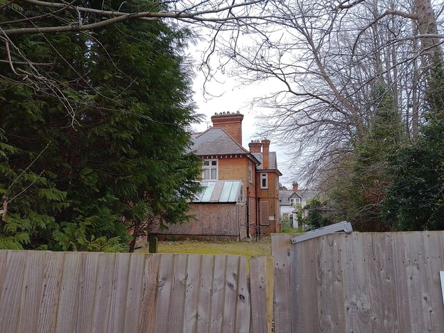
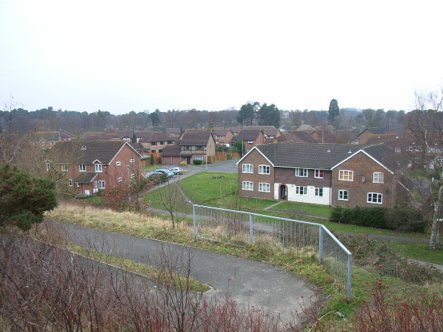
Blacksmith's Hill Images

Images are sourced within 2km of 51.403103/-0.70881734 or Grid Reference SU8967. Thanks to Geograph Open Source API. All images are credited.

Looking eastwards along the A329 (taken from outside All Saints, Ascot Heath)
Looking eastwards along the A329
(taken from outside All Saints, Ascot Heath)
All Saints, Ascot Heath: early February 2022
Looking westwards on the A329 (taken outside All Saints, Ascot Heath)
Looking westwards on the A329
(taken outside All Saints, Ascot Heath)
Buttersteep Rise junction The junction to Swinley Road (the A332) at the end of Buttersteep Rise, a cul-de-sac leading to Buttersteep House. To the left are ancillary buildings of the Berkshire Golf Club.
Buttersteep Rise junction
The junction to Swinley Road (the A332) at the end of Buttersteep Rise, a cul-de-sac leading to Buttersteep House. To the left are ancillary buildings of the Berkshire Golf Club.
Buttersteep Rise A cul-de-sac off Swinley Road (the A332), leading to Buttersteep House.
Buttersteep Rise
A cul-de-sac off Swinley Road (the A332), leading to Buttersteep House.
Buttersteep Rise A cul-de-sac off Swinley Road (the A332), leading to Buttersteep House.
Buttersteep Rise
A cul-de-sac off Swinley Road (the A332), leading to Buttersteep House.
Ascot Jubilee Recreation Ground A park with playing fields and a playground between North Ascot and Chavey Down. The car park is very large for the size of the park.
Ascot Jubilee Recreation Ground
A park with playing fields and a playground between North Ascot and Chavey Down. The car park is very large for the size of the park.
All Saints' Church A church in North Ascot, off the A329 (London Road). It was built in 1864 with red brick and Bath stone dressings. This photograph was taken on a Sunday, which is why the car park has some cars in it.

The church is a Grade II listed building, list entry number 1109923 <span class="nowrap"><a title="https://historicengland.org.uk/listing/the-list/list-entry/1109923" rel="nofollow ugc noopener" href="https://historicengland.org.uk/listing/the-list/list-entry/1109923">Link</a><img style="margin-left:2px;" alt="External link" title="External link - shift click to open in new window" src="https://s1.geograph.org.uk/img/external.png" width="10" height="10"/></span>
All Saints' Church
A church in North Ascot, off the A329 (London Road). It was built in 1864 with red brick and Bath stone dressings. This photograph was taken on a Sunday, which is why the car park has some cars in it. The church is a Grade II listed building, list entry number 1109923 LinkExternal link
Building 46 at old Heatherwood Hospital Simply known as "Building 46" - this number being taken from Heatherwood Hospital's plans of the site - this building with large chimneys, unique tiled roof with half height gables and brick walls with decorative internal structural steel and render on another section will soon be demolished.

The detail given within the planning application of the building is as follows: "Building 46 is a single storey brick-built structure with a profile metal roof
and gable cladding. Overall the building is in good condition with one large
gap located at the northwest corner of the building. Internally the building is
split into both a workshop area and office space. A loft space is located via
a stairway and is in good condition showing no sign of damage."

It has acted as a landmark to the area since the 1920s in its prominent position beside the A332 (King's Ride). All of the 1920s buildings of old Heatherwood Hospital are set to be demolished, or already have been. In 2018, full planning permission was given to demolish the existing hospital and construct a new building to serve as the hospital. In 2022, planning permission was given for the construction of 230 homes on the site in the form of 2, 3 and 4 bed houses and 1, 2 and 3 bed flats.
Building 46 at old Heatherwood Hospital
Simply known as "Building 46" - this number being taken from Heatherwood Hospital's plans of the site - this building with large chimneys, unique tiled roof with half height gables and brick walls with decorative internal structural steel and render on another section will soon be demolished. The detail given within the planning application of the building is as follows: "Building 46 is a single storey brick-built structure with a profile metal roof and gable cladding. Overall the building is in good condition with one large gap located at the northwest corner of the building. Internally the building is split into both a workshop area and office space. A loft space is located via a stairway and is in good condition showing no sign of damage." It has acted as a landmark to the area since the 1920s in its prominent position beside the A332 (King's Ride). All of the 1920s buildings of old Heatherwood Hospital are set to be demolished, or already have been. In 2018, full planning permission was given to demolish the existing hospital and construct a new building to serve as the hospital. In 2022, planning permission was given for the construction of 230 homes on the site in the form of 2, 3 and 4 bed houses and 1, 2 and 3 bed flats.
Building 6 at old Heatherwood Hospital Simply known as "Building 6" - this number being taken from Heatherwood Hospital's plans of the site - this building a tiled roof and brick walls will soon be demolished.

The detail given within the planning application of the building is as follows: "Building 6 is an active boiler house. The brick-built building is of a single
storey design with a small two storey element. The single-storey section has
a pitched clay tile roof and the two-storey section possesses a flat roof.
There is no loft space present internally with the indoor space open to the
ceiling. The ceiling is constructed with wooden boards and metal beams
and contains a number of large holes in the roofing tiles."

All of the 1920s buildings of old Heatherwood Hospital are set to be demolished, or already have been. In 2018, full planning permission was given to demolish the existing hospital and construct a new building to serve as the hospital. In 2022, planning permission was given for the construction of 230 homes on the site in the form of 2, 3 and 4 bed houses and 1, 2 and 3 bed flats.
Building 6 at old Heatherwood Hospital
Simply known as "Building 6" - this number being taken from Heatherwood Hospital's plans of the site - this building a tiled roof and brick walls will soon be demolished. The detail given within the planning application of the building is as follows: "Building 6 is an active boiler house. The brick-built building is of a single storey design with a small two storey element. The single-storey section has a pitched clay tile roof and the two-storey section possesses a flat roof. There is no loft space present internally with the indoor space open to the ceiling. The ceiling is constructed with wooden boards and metal beams and contains a number of large holes in the roofing tiles." All of the 1920s buildings of old Heatherwood Hospital are set to be demolished, or already have been. In 2018, full planning permission was given to demolish the existing hospital and construct a new building to serve as the hospital. In 2022, planning permission was given for the construction of 230 homes on the site in the form of 2, 3 and 4 bed houses and 1, 2 and 3 bed flats.
Building 46 at old Heatherwood Hospital Simply known as "Building 46" - this number being taken from Heatherwood Hospital's plans of the site - this building with large chimneys, unique tiled roof with half height gables and brick walls with decorative internal structural steel and render on another section will soon be demolished.

The detail given within the planning application of the building is as follows: "Building 46 is a single storey brick-built structure with a profile metal roof
and gable cladding. Overall the building is in good condition with one large
gap located at the northwest corner of the building. Internally the building is
split into both a workshop area and office space. A loft space is located via
a stairway and is in good condition showing no sign of damage."

It has acted as a landmark to the area since the 1920s in its prominent position beside the A332 (King's Ride). All of the 1920s buildings of old Heatherwood Hospital are set to be demolished, or already have been. In 2018, full planning permission was given to demolish the existing hospital and construct a new building to serve as the hospital. In 2022, planning permission was given for the construction of 230 homes on the site in the form of 2, 3 and 4 bed houses and 1, 2 and 3 bed flats.
Building 46 at old Heatherwood Hospital
Simply known as "Building 46" - this number being taken from Heatherwood Hospital's plans of the site - this building with large chimneys, unique tiled roof with half height gables and brick walls with decorative internal structural steel and render on another section will soon be demolished. The detail given within the planning application of the building is as follows: "Building 46 is a single storey brick-built structure with a profile metal roof and gable cladding. Overall the building is in good condition with one large gap located at the northwest corner of the building. Internally the building is split into both a workshop area and office space. A loft space is located via a stairway and is in good condition showing no sign of damage." It has acted as a landmark to the area since the 1920s in its prominent position beside the A332 (King's Ride). All of the 1920s buildings of old Heatherwood Hospital are set to be demolished, or already have been. In 2018, full planning permission was given to demolish the existing hospital and construct a new building to serve as the hospital. In 2022, planning permission was given for the construction of 230 homes on the site in the form of 2, 3 and 4 bed houses and 1, 2 and 3 bed flats.
Construction at Heatherwood Hospital Construction starting at the site of the old Heatherwood Hospital.
Construction at Heatherwood Hospital
Construction starting at the site of the old Heatherwood Hospital.
Roundabout on King's Ride (A332) A roundabout on King's Ride (the A332) near the development on the site of the old Heatherwood Hospital.
Roundabout on King's Ride (A332)
A roundabout on King's Ride (the A332) near the development on the site of the old Heatherwood Hospital.
Grand Regency Heights A block of flats in Ascot, accessed from Burleigh Road. The flats face the roundabout on the A332 / A329. They are very close to the racecourse.
Grand Regency Heights
A block of flats in Ascot, accessed from Burleigh Road. The flats face the roundabout on the A332 / A329. They are very close to the racecourse.
Sandridge House A large house in Ascot, off the A329 (London Road). The house was a care home until around 2017. In 2019, a planning application for 33 homes on the site was refused.
Sandridge House
A large house in Ascot, off the A329 (London Road). The house was a care home until around 2017. In 2019, a planning application for 33 homes on the site was refused.
Shot of part of set for "Rings of Power" Shot of part of set for "Lord of the Rings: Rings of Power Series 2"

Apparently a partial fake stone circle within existing pine forest in Buttersteep, Swinley Forest. 

Large part of forest fenced off with support vehicles and temporary roadways during filming.

Walking past 11th June the "stones" had all gone.
Shot of part of set for "Rings of Power"
Shot of part of set for "Lord of the Rings: Rings of Power Series 2" Apparently a partial fake stone circle within existing pine forest in Buttersteep, Swinley Forest. Large part of forest fenced off with support vehicles and temporary roadways during filming. Walking past 11th June the "stones" had all gone.
Show me another place!

Blacksmith's Hill is located at Grid Ref: SU8967 (Lat: 51.403103, Lng: -0.70881734)

Unitary Authority: Bracknell Forest

Police Authority: Thames Valley

What 3 Words

///silly.tape.ridge. Near Ascot, Berkshire

Related Wikis

Swinley Park and Brick Pits

Swinley Park and Brick Pits is an 88.7-hectare (219-acre) biological Site of Special Scientific Interest east of Bracknell in Berkshire, United Kingdom...
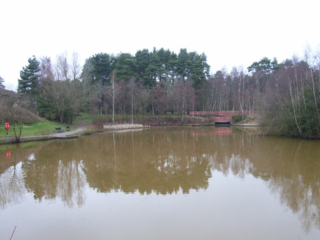
Englemere Pond

Englemere Pond is a 26.1-hectare (64-acre) biological Site of Special Scientific Interest on the southern outskirts of North Ascot in Berkshire. The site...

The Warren, Bracknell Forest

The Warren is a suburban area in Berkshire, England, and a conurbation of Bracknell, adjacent to the large expanses of Swinley Forest, part of the Crown...

Heatherdown School

Heatherdown School, formally called Heatherdown Preparatory School, was an independent preparatory school for boys, near Ascot, in the English county of...

LVS Ascot

LVS Ascot is a private, co-educational, day and boarding school for pupils aged 4 to 18, situated near Ascot in the English county of Berkshire. It is...

Martins Heron

Martins Heron is a suburb of Bracknell 25 miles (40 km) west of London in Berkshire, England. Martins Heron and the neighbouring suburb The Warren are...

Heathfield School, Ascot

Heathfield School is a girls' independent boarding and day school in Ascot, Berkshire, England. In 2006, the school absorbed St Mary's School, Wantage...

Forest Park, Bracknell Forest

Forest Park is a suburb of Bracknell, in Berkshire, England. It and Crown Wood are in Crown Wood ward and named after the Crown Estate of Swinley Forest...

Nearby Amenities

Located within 500m of 51.403103,-0.70881734
Parking
Lat/Long: 51.4052227/-0.7059316
Barrier: stile
Lat/Long: 51.406989/-0.7062766
The data included in this document is from www.openstreetmap.org. The data is made available under ODbL.

Have you been to Blacksmith's Hill?

Leave your review of Blacksmith's Hill below (or comments, questions and feedback).