Kintore
Settlement in Aberdeenshire
Scotland
Kintore

Kintore is a small town located in Aberdeenshire, Scotland. Situated approximately 13 miles northwest of Aberdeen, it lies along the River Don and is nestled between the towns of Inverurie and Blackburn. With a population of around 4,500 residents, Kintore offers a quiet and picturesque setting.
The town has a rich history dating back to the 12th century when it was established as a royal burgh. Its name is derived from the Gaelic word "Ceann Tòrr," meaning "head of the hill," reflecting its position at the top of an incline overlooking the River Don.
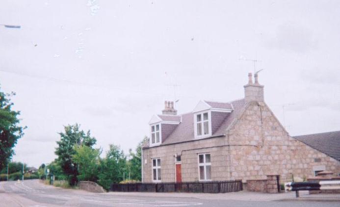
Kintore is renowned for its well-preserved medieval architecture, featuring traditional stone buildings and narrow streets. The centerpiece of the town is Kintore Parish Church, a stunning example of Gothic architecture dating back to the 12th century. Other notable landmarks include the Town House and Tollbooth, which serve as reminders of the town's historical importance.
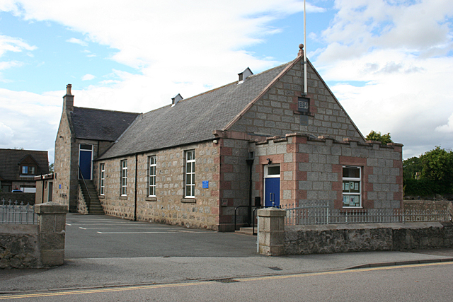
Despite its small size, Kintore offers a range of amenities and services for residents and visitors. There are several local shops, pubs, and restaurants catering to various tastes. The town also has a primary school and a community center, providing educational and recreational opportunities for its residents.
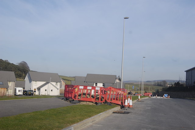
Surrounded by beautiful countryside, Kintore is a popular destination for outdoor enthusiasts. The surrounding area offers numerous walking and cycling trails, allowing visitors to explore the stunning Scottish landscapes. Additionally, the nearby River Don provides opportunities for fishing, kayaking, and other water-based activities.
Overall, Kintore offers a peaceful and charming atmosphere, blending history, natural beauty, and modern amenities to create a unique Scottish town.
If you have any feedback on the listing, please let us know in the comments section below.
Kintore Images
Images are sourced within 2km of 57.237021/-2.345034 or Grid Reference NJ7916. Thanks to Geograph Open Source API. All images are credited.


Kintore is located at Grid Ref: NJ7916 (Lat: 57.237021, Lng: -2.345034)
Unitary Authority: Aberdeenshire
Police Authority: North East
What 3 Words
///dynamic.sideboard.outpost. Near Kintore, Aberdeenshire
Nearby Locations
Related Wikis
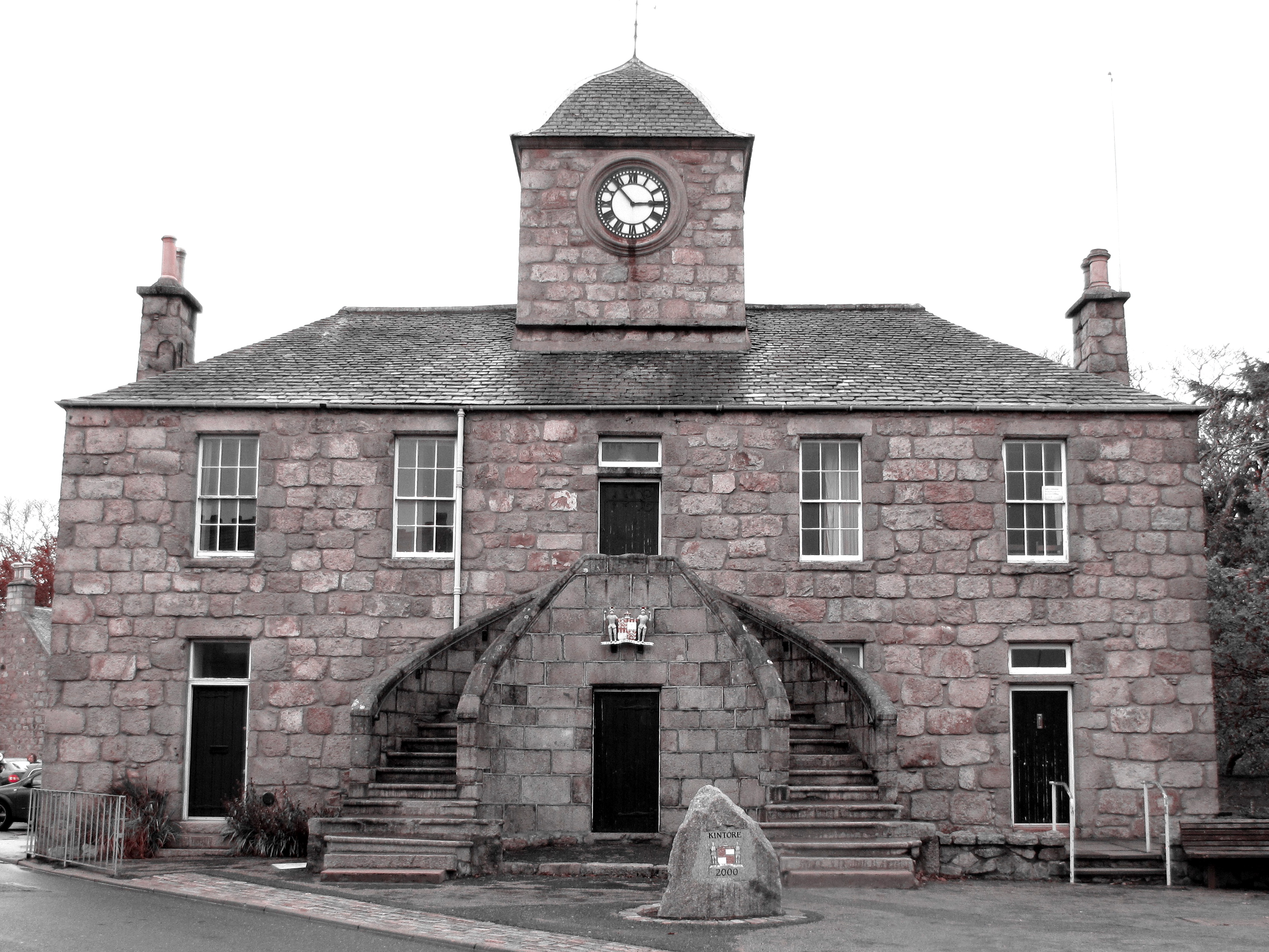
Kintore Town House
Kintore Town House is a municipal structure in The Square, Kintore, Aberdeenshire, Scotland. The structure, which is used as commercial offices, is a Category...

Kintore, Aberdeenshire
Kintore (; Scottish Gaelic: Ceann Tòrr) is a town and former royal burgh near Inverurie in Aberdeenshire, Scotland, now bypassed by the A96 road between...

Deers Den
Deers Den is an archaeological site at Kintore, Scotland in Aberdeenshire. The site has mesolithic remains, Iron Age artefacts and is a known Roman Camp...
NECR
NECR (North East Community Radio) was a broadcast radio station based in Kintore, Aberdeenshire, Scotland. NECR was awarded an Independent Local Radio...
Nearby Amenities
Located within 500m of 57.237021,-2.345034Have you been to Kintore?
Leave your review of Kintore below (or comments, questions and feedback).