Balbithan Pot
Lake, Pool, Pond, Freshwater Marsh in Aberdeenshire
Scotland
Balbithan Pot

Balbithan Pot, located in Aberdeenshire, Scotland, is a small freshwater marsh that encompasses a lake, pool, pond, and marshland. This natural habitat is nestled amidst lush greenery, making it an ideal spot for nature enthusiasts and wildlife photographers.
The lake at Balbithan Pot is the centerpiece of the area, covering a significant portion of the marshland. Its calm waters reflect the surrounding landscape, creating a picturesque sight. The lake is relatively shallow but sustains a diverse aquatic ecosystem, providing a habitat for various species of fish, waterfowl, and amphibians.
Adjacent to the lake is a pool, which is smaller in size but equally enchanting. This body of water is home to a variety of plant life, including water lilies and reeds, providing shelter and sustenance for aquatic animals.
The pond at Balbithan Pot is a smaller water body, often teeming with life. It is frequented by dragonflies and other insects, as well as small amphibians such as frogs and newts. This pond is an important breeding ground for these creatures, ensuring the continuation of their populations.
Surrounding the water bodies is a freshwater marsh, characterized by its wet and marshy terrain. This marshland is rich in vegetation, including sedges, rushes, and various types of grasses. It serves as a vital habitat for a wide range of bird species, including ducks, herons, and swans.
Balbithan Pot, with its diverse water bodies and thriving marshland, offers a unique opportunity to observe and appreciate the wonders of nature. It is a haven for countless species, making it a must-visit destination for nature lovers and wildlife enthusiasts alike.
If you have any feedback on the listing, please let us know in the comments section below.
Balbithan Pot Images
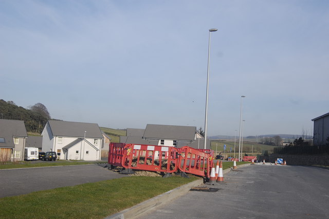
Images are sourced within 2km of 57.242835/-2.3347788 or Grid Reference NJ7916. Thanks to Geograph Open Source API. All images are credited.


Balbithan Pot is located at Grid Ref: NJ7916 (Lat: 57.242835, Lng: -2.3347788)
Unitary Authority: Aberdeenshire
Police Authority: North East
What 3 Words
///haircuts.smoker.toast. Near Kintore, Aberdeenshire
Nearby Locations
Related Wikis
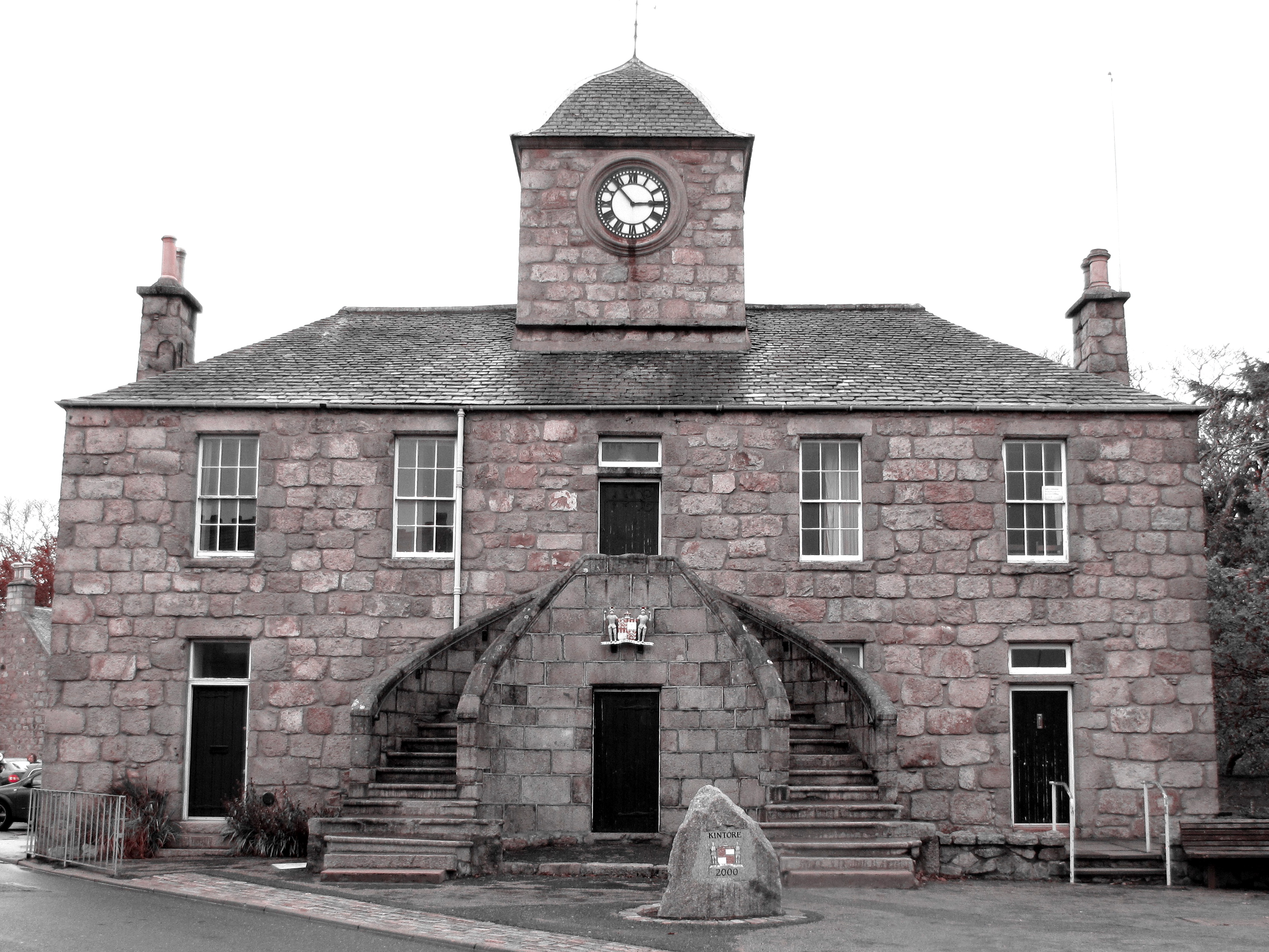
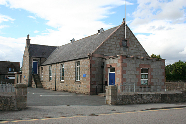
Kintore Town House
Kintore Town House is a municipal structure in The Square, Kintore, Aberdeenshire, Scotland. The structure, which is used as commercial offices, is a Category...
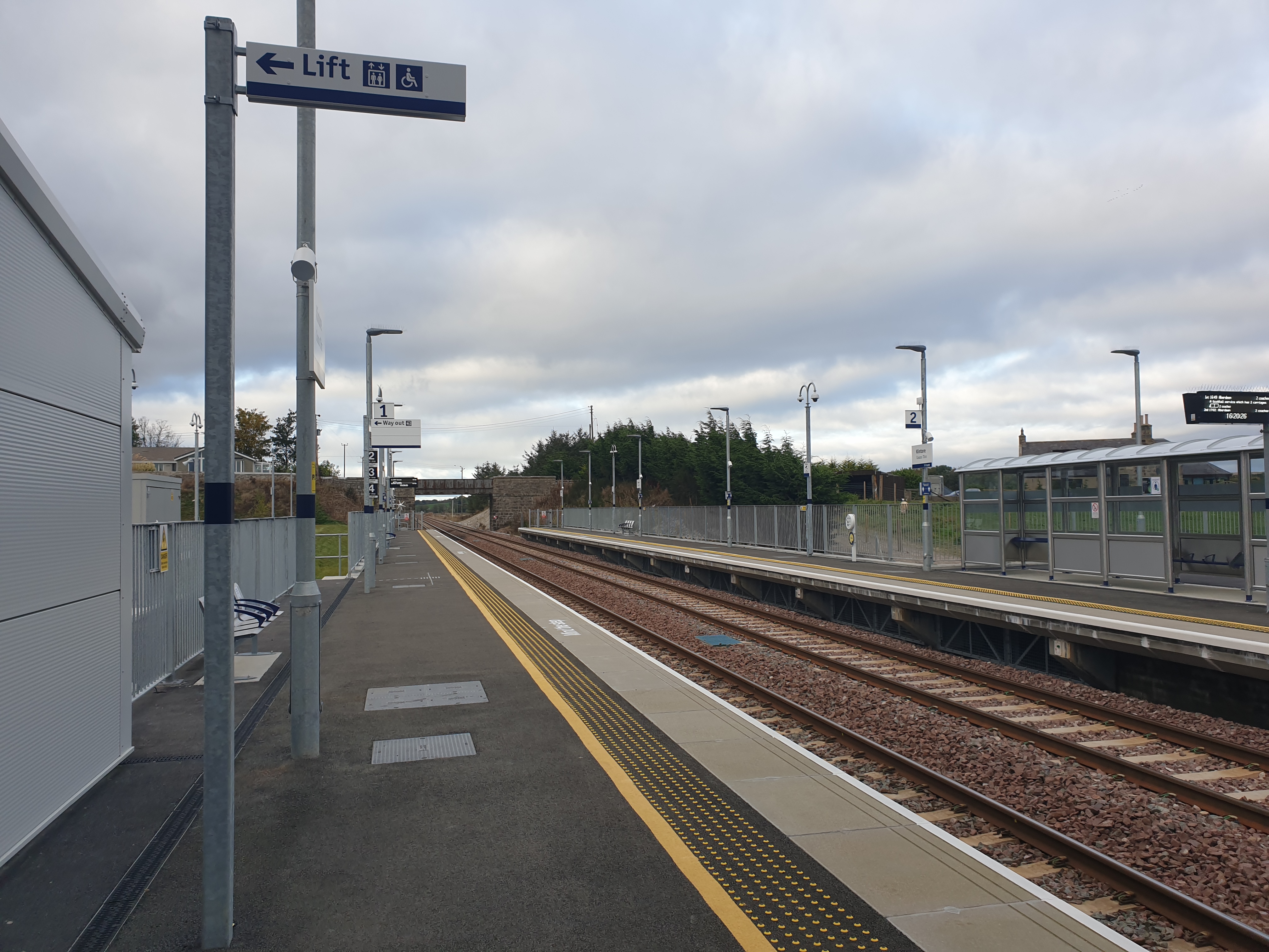
Kintore railway station
Kintore railway station is in Kintore, Scotland on the Aberdeen–Inverness line. Originally opened in 1854, it closed in 1964 but was reopened on a different...

Kintore, Aberdeenshire
Kintore (; Scottish Gaelic: Ceann Tòrr) is a town and former royal burgh near Inverurie in Aberdeenshire, Scotland, now bypassed by the A96 road between...

Deers Den
Deers Den is an archaeological site at Kintore, Scotland in Aberdeenshire. The site has mesolithic remains, Iron Age artefacts and is a known Roman Camp...
Nearby Amenities
Located within 500m of 57.242835,-2.3347788Have you been to Balbithan Pot?
Leave your review of Balbithan Pot below (or comments, questions and feedback).