Beacon Hill
Hill, Mountain in Yorkshire Ryedale
England
Beacon Hill

Beacon Hill, located in Yorkshire, England, is a prominent hill and a popular destination for nature enthusiasts and hikers. Standing at an elevation of approximately 352 meters (1,155 feet), it offers breathtaking panoramic views of the surrounding countryside. The hill is situated within the boundaries of the North York Moors National Park, known for its outstanding natural beauty and diverse wildlife.
Covered in heather moorland and scattered with ancient oak trees, Beacon Hill boasts a rich ecological diversity. The hill is home to an array of bird species, including the iconic red grouse, as well as mammals such as hares, foxes, and deer. The area is also known for its vibrant flora, including wildflowers and rare orchids that bloom during the summer months, adding a splash of color to the landscape.
The hill's name originates from its historical significance as a beacon site, where signal fires were once lit to warn of invading armies or other dangers during times of conflict. Today, visitors can explore the remnants of the beacon, which stands as a testament to the area's past.
Beacon Hill offers numerous walking trails, ranging from gentle strolls to more challenging hikes, catering to all abilities. One of the most popular routes is the circular walk that takes visitors to the summit, offering breathtaking views of the surrounding countryside. The hill's accessibility and well-maintained paths make it an ideal destination for families and outdoor enthusiasts alike.
Overall, Beacon Hill in Yorkshire provides a picturesque and historically significant destination, offering visitors the opportunity to immerse themselves in the natural beauty and rich heritage of the region.
If you have any feedback on the listing, please let us know in the comments section below.
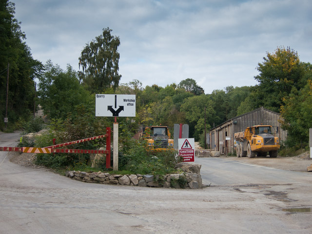
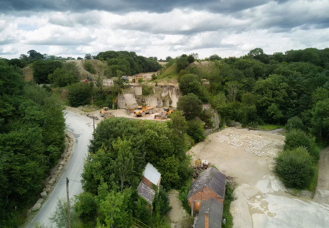
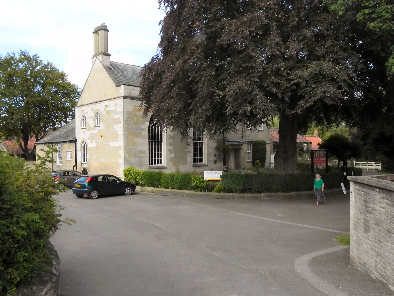
Beacon Hill Images
Images are sourced within 2km of 54.249591/-0.78450499 or Grid Reference SE7984. Thanks to Geograph Open Source API. All images are credited.


Beacon Hill is located at Grid Ref: SE7984 (Lat: 54.249591, Lng: -0.78450499)
Division: North Riding
Administrative County: North Yorkshire
District: Ryedale
Police Authority: North Yorkshire
What 3 Words
///insiders.headless.feuds. Near Pickering, North Yorkshire
Nearby Locations
Related Wikis

Lady Lumley's School
Lady Lumley's School is a coeducational secondary school and sixth form located in Pickering, North Yorkshire, England. It was founded in Thornton-le-Dale...
Beck Isle Museum
The Beck Isle Museum of Rural Life is a social history museum in Pickering, North Yorkshire, England. The museum features period business displays including...

Pickering railway station
Pickering railway station is the southern terminus of the North Yorkshire Moors Railway and serves the town of Pickering in North Yorkshire, England. The...
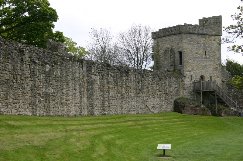
Pickering Castle
Pickering Castle is a motte-and-bailey fortification in Pickering, North Yorkshire, England. == Design == Pickering Castle was originally a timber and...
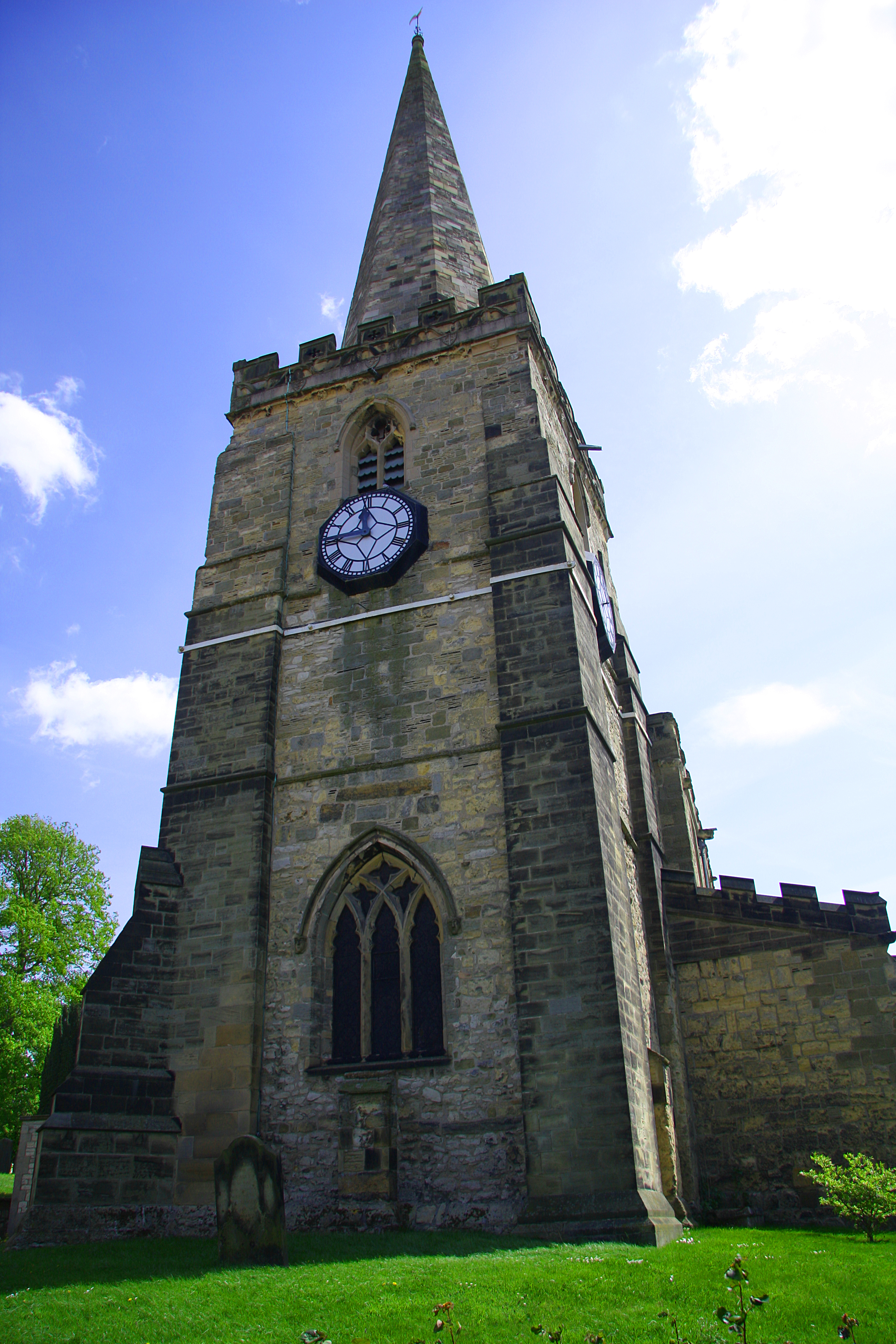
St Peter and St Paul's Church, Pickering
The Church of St Peter and St Paul, Pickering is the parish church of the market town of Pickering in the county of North Yorkshire. The church sits on...
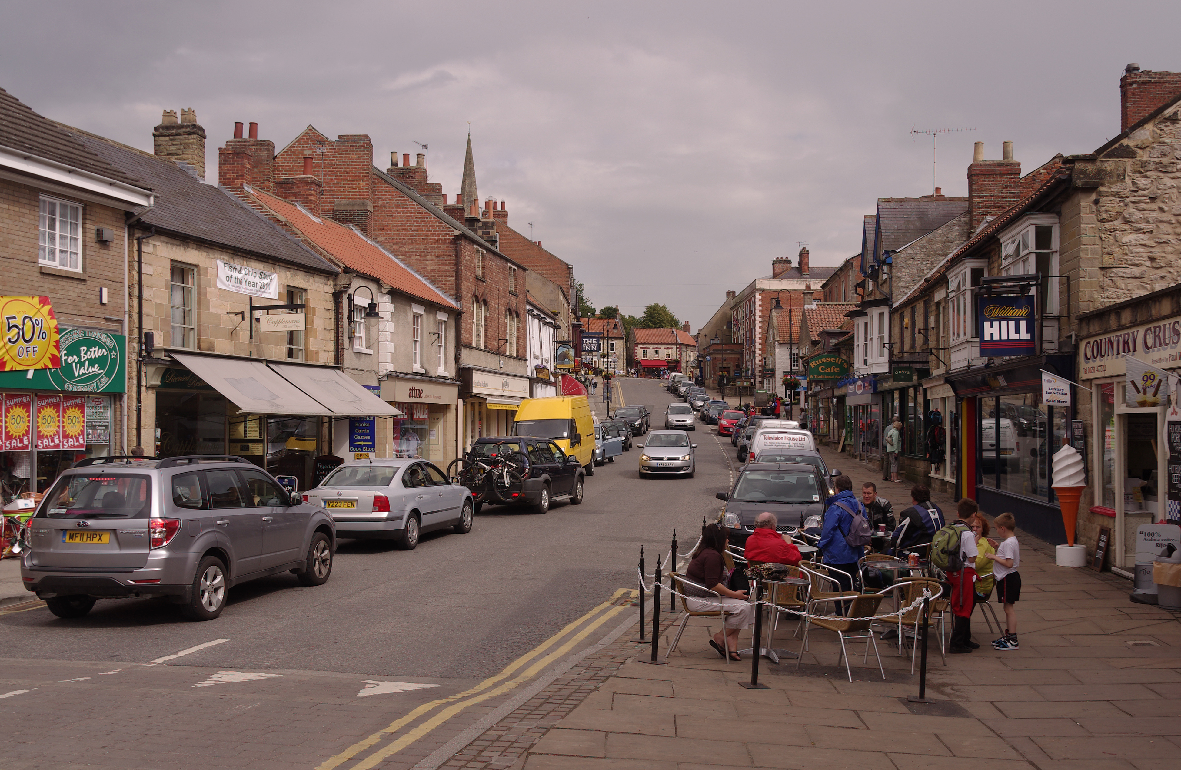
Pickering, North Yorkshire
Pickering is a market town and civil parish in North Yorkshire, England, on the border of the North York Moors National Park. Historically part of the...
Pickering Town F.C.
Pickering Town Football Club is an English football club based in Pickering, North Yorkshire. The club was founded in 1888 and are currently members of...

Costa Beck
Costa Beck is a small river in the Ryedale district of North Yorkshire, England. It also lends its name to an archaeological site. == Watercourse == The...
Nearby Amenities
Located within 500m of 54.249591,-0.78450499Have you been to Beacon Hill?
Leave your review of Beacon Hill below (or comments, questions and feedback).