Hanover Hill

Hill, Mountain in Buckinghamshire

England

Hanover Hill

Digging by the Footpath This looks a nice muddy job. It's by a footpath entrance, which is also extremely muddy.
Digging by the Footpath Credit: Des Blenkinsopp

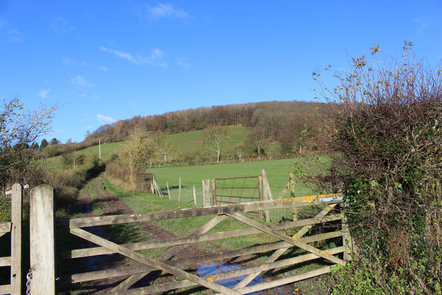
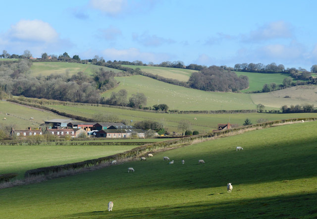
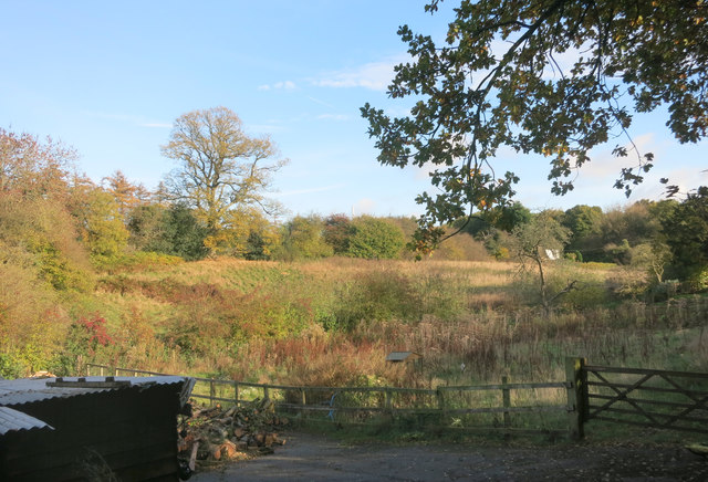
Hanover Hill is a prominent geographical feature located in Buckinghamshire, England. Situated in the southern part of the county, this hill stands at an elevation of approximately 300 meters above sea level. It is part of the Chiltern Hills, a range of chalk hills renowned for their natural beauty and rich wildlife.

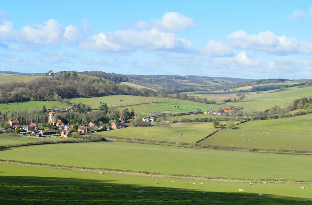
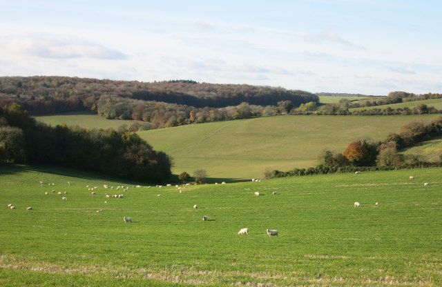
Hanover Hill offers breathtaking panoramic views of the surrounding landscape, making it a popular destination for locals and visitors alike. The hill is covered in lush greenery, with sprawling meadows and dense woodlands that provide a habitat for various plant and animal species. It is particularly known for its vibrant wildflower displays during the spring and summer months.

The hill is easily accessible by foot, with well-maintained footpaths and trails that wind their way up to the summit. The climb is relatively gentle, making it suitable for hikers of all abilities. At the top, there is a small viewing platform where visitors can pause and take in the stunning vistas that stretch for miles around.

Hanover Hill has historical significance as well. It is believed to have been named after the House of Hanover, the British royal family that reigned during the 18th and 19th centuries. The hill has also featured in various literary works, inspiring poets and writers with its natural beauty.

Overall, Hanover Hill in Buckinghamshire offers a serene and picturesque setting for nature lovers and outdoor enthusiasts. Its combination of scenic views, diverse flora and fauna, and accessibility make it a must-visit destination for those seeking a peaceful retreat in the heart of the English countryside.

If you have any feedback on the listing, please let us know in the comments section below.
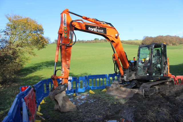
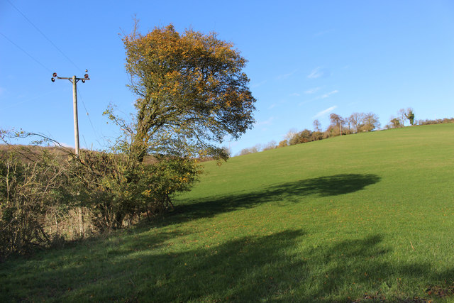
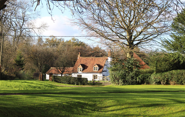
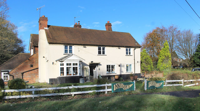
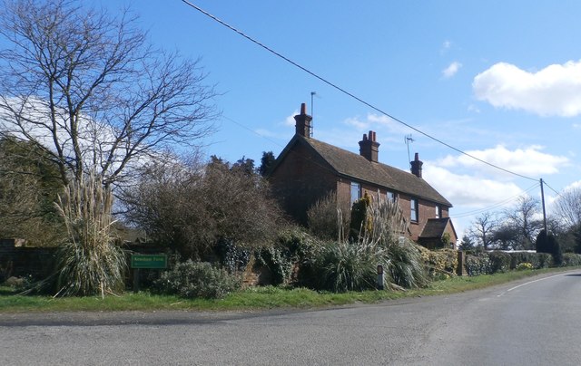
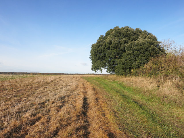
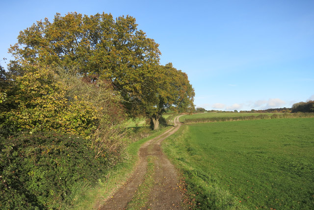
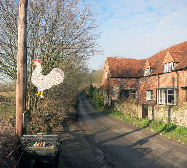
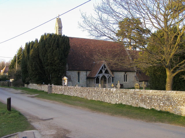
Hanover Hill Images

Images are sourced within 2km of 51.615996/-0.85708666 or Grid Reference SU7991. Thanks to Geograph Open Source API. All images are credited.

Digging by the Footpath This looks a nice muddy job. It's by a footpath entrance, which is also extremely muddy.
Digging by the Footpath
This looks a nice muddy job. It's by a footpath entrance, which is also extremely muddy.
Land near Fingest
Land near Fingest
House on Cadmore End Common Cadmore End Common is mostly woodland, but there are a number of isolated houses along the various tracks.
House on Cadmore End Common
Cadmore End Common is mostly woodland, but there are a number of isolated houses along the various tracks.
Poor Old Peacock There seem to be more than the usual number of closed pubs around here.
This is the former Peacock, now selling old furniture.
Poor Old Peacock
There seem to be more than the usual number of closed pubs around here. This is the former Peacock, now selling old furniture.
Towards Hanger Wood Typical Chiltern scenery near Fingest.
Towards Hanger Wood
Typical Chiltern scenery near Fingest.
Recycled Pub Sign The old Peacock pub over the road has closed and been turned into a furniture store.
The pub sign has been suitably amended.
Recycled Pub Sign
The old Peacock pub over the road has closed and been turned into a furniture store. The pub sign has been suitably amended.
Farmland, Fingest, Buckinghamshire
Church of St Bartholomew, Fingest, Buckinghamshire Early C12 W. tower and nave; chancel added C13, with C15 windows; mid C19 S. porch and restorations. Roughcast and render over flint, stone dressings, tiled roofs. Fine dominating W. tower, wider than the nave, with C18-early C19 twin saddle-back roof. Each side of bell chamber has pair of Romanesque openings with semi-circular roll-moulded arches of 2 orders on shafts with cushion capitals. Small single lights with unmoulded semi-circular heads below; very small similar lights to ground floor of N. and S. sides; C13 3-light W. window of chalk, with plate tracery. Narrow nave has small original window with semi-circular head to N., and 2 later 2-light traceried windows to S. Blocked N. doorway with narrow chamfered pointed arch; S. door with similar arch in C19 gabled wooden porch. Chancel has 2 chamfered lancets to N., 3-light traceried E. window and 2 restored 2-light traceried windows with flat heads to S. Central S. door. C19 buttresses. Interior: tower has moulded arch on shafts to inner face of W. window, and tall wide unmoulded semi-circular arch to nave. Nave has semi- circular rere-arches to doorways and S. windows, and medieval roof of 4 bays with chamfered arch-braces to collars and heavy simple wind-braces. C19 wooden arch and screen to chancel. Reworked C15 octagonal font with traceried panels. Other fittings C19. 

(Source:Historic England)
Church of St Bartholomew, Fingest, Buckinghamshire
Early C12 W. tower and nave; chancel added C13, with C15 windows; mid C19 S. porch and restorations. Roughcast and render over flint, stone dressings, tiled roofs. Fine dominating W. tower, wider than the nave, with C18-early C19 twin saddle-back roof. Each side of bell chamber has pair of Romanesque openings with semi-circular roll-moulded arches of 2 orders on shafts with cushion capitals. Small single lights with unmoulded semi-circular heads below; very small similar lights to ground floor of N. and S. sides; C13 3-light W. window of chalk, with plate tracery. Narrow nave has small original window with semi-circular head to N., and 2 later 2-light traceried windows to S. Blocked N. doorway with narrow chamfered pointed arch; S. door with similar arch in C19 gabled wooden porch. Chancel has 2 chamfered lancets to N., 3-light traceried E. window and 2 restored 2-light traceried windows with flat heads to S. Central S. door. C19 buttresses. Interior: tower has moulded arch on shafts to inner face of W. window, and tall wide unmoulded semi-circular arch to nave. Nave has semi- circular rere-arches to doorways and S. windows, and medieval roof of 4 bays with chamfered arch-braces to collars and heavy simple wind-braces. C19 wooden arch and screen to chancel. Reworked C15 octagonal font with traceried panels. Other fittings C19. (Source:Historic England)
Farmland, Fingest, Buckinghamshire
Cadmore End School The old building, which is joined to the new one to its right.
Cadmore End School
The old building, which is joined to the new one to its right.
Marlow Road, Cadmore End
Roadside at The Old Ship Pub - Cadmore End
Entrance to Kensham Farm from Marlow Road
Footpath near Huckenden Farm One of four paths running more or less north - south across this square.
Footpath near Huckenden Farm
One of four paths running more or less north - south across this square.
Track on Hanover Hill Farm track and footpath through the middle of this square.
Track on Hanover Hill
Farm track and footpath through the middle of this square.
View from Hanover Hill Chiltern scenery near Cadmore End.
View from Hanover Hill
Chiltern scenery near Cadmore End.
Overgrown field, Cadmore End A small plot of land between Marlow Road and the M40 that is getting a bit neglected.
Overgrown field, Cadmore End
A small plot of land between Marlow Road and the M40 that is getting a bit neglected.
A Chicken & Egg Situation Eggs for sale at Upper Goddards Farm
A Chicken & Egg Situation
Eggs for sale at Upper Goddards Farm
Show me another place!

Hanover Hill is located at Grid Ref: SU7991 (Lat: 51.615996, Lng: -0.85708666)

Unitary Authority: Buckinghamshire

Police Authority: Thames Valley

What 3 Words

///evolves.global.newlywed. Near Stokenchurch, Buckinghamshire

Related Wikis

Bolter End Sand Pit

Bolter End Sand Pit is a 0.33-hectare (0.82-acre) geological Site of Special Scientific Interest in Bolter End in Buckinghamshire. It is a Geological Conservation...

Bolter End

Bolter End is a hamlet 5 mi (8.0 km) to the west of High Wycombe in Buckinghamshire, England. Bolter End lies on the B482 road that connects Stokenchurch...

Frieth Meadows

Frieth Meadows is a 2.5-hectare (6.2-acre) Site of Special Scientific Interest in Frieth in Buckinghamshire. It is in the Chilterns Area of Outstanding...

Cadmore

Cadmore, also known as Cadmore End, is a village in the civil parish of Lane End in the English county of Buckinghamshire. Historically Cadmore End was...

Moorend Common

Moorend Common is a 28-hectare (69-acre) Site of Special Scientific Interest in the hamlet Moor End, west of High Wycombe in Buckinghamshire. It is in...

Frieth

Frieth is a village in the parish of Hambleden, in Buckinghamshire, England. It lies on the top of "Frieth Hill", which is part of the chalk escarpments...

Fingest

Fingest is a village in Buckinghamshire, England. It is in the Chiltern Hills near the border with Oxfordshire. It is about six miles WSW of High Wycombe...

Ackhampstead

Ackhampstead (literally 'oak homestead' in Old English) or 'The Moor' was an ancient township (or chapelry) in the Chiltern Hills, south of Lane End. Until...

Related Videos

Walking through Turville & the Chilterns, Buckinghamshire | 4K immersive woodland walk

Turville is a tiny village located in a picturesque area of the Chilterns, Buckinghamshire. It has featured in many TV and film ...

Solo Hiking the TV Trail - Turville UK, Home of Chitty Chitty Bang Bang

Turville is one of Britain's most popular TV and film locations and has featured regularly on both the small and big screen, ...

Sunrise Walking Tour, Turville Village, English countryside

English village walking tour in 4K. Today I'm taking you on a walking tour of Turville in Buckinghamshire. The village is set in a ...

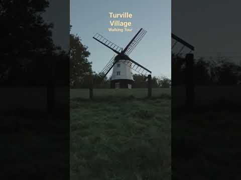
Turville Village Walking Tour, English Countryside

English village walking tour in 4K. Today I'm taking you on a walking tour of Turville in Buckinghamshire. The village is set in a ...

Nearby Amenities

Located within 500m of 51.615996,-0.85708666
Access: no
Barrier: kissing_gate
Foot: yes
Lat/Long: 51.6161594/-0.8635009
The data included in this document is from www.openstreetmap.org. The data is made available under ODbL.

Have you been to Hanover Hill?

Leave your review of Hanover Hill below (or comments, questions and feedback).