Beacon Hill
Hill, Mountain in Yorkshire Scarborough
England
Beacon Hill
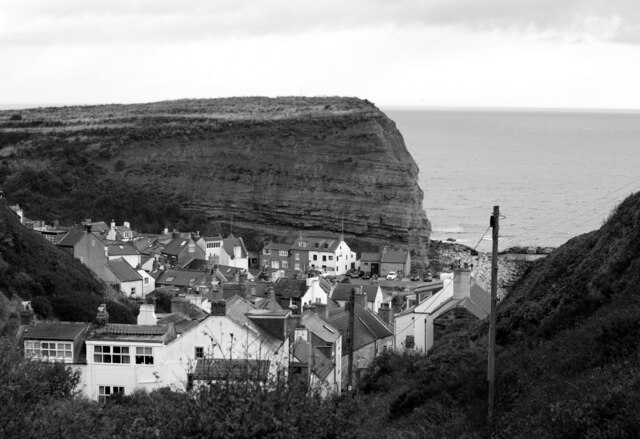
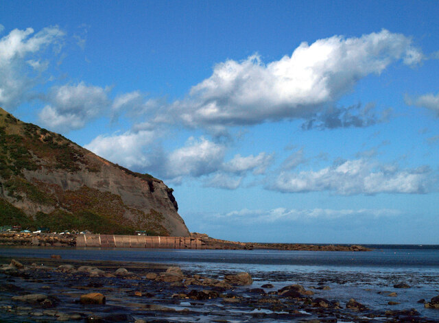
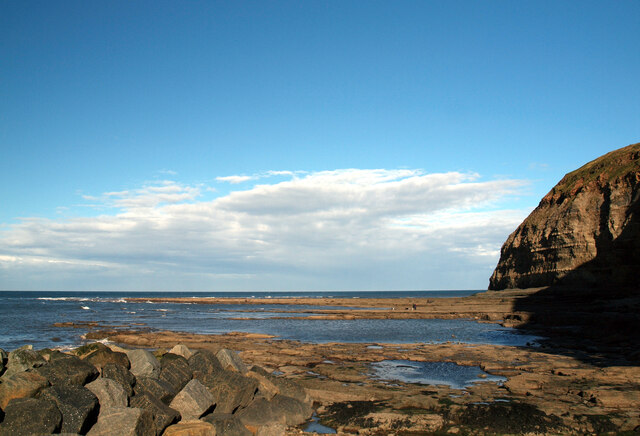
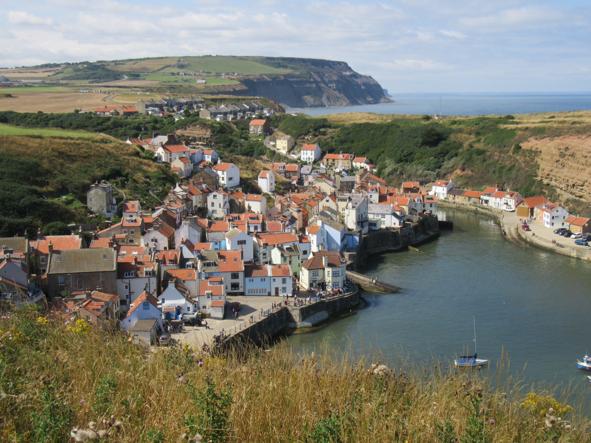
Beacon Hill is a prominent feature located in the county of Yorkshire, England. Standing at an impressive height of 1,033 feet (315 meters), it is considered one of the highest hills in the region. Situated within the North York Moors National Park, Beacon Hill offers breathtaking panoramic views of the surrounding countryside.
The hill is characterized by its gentle slopes covered in lush greenery, making it a popular destination for outdoor enthusiasts and nature lovers. Hikers and walkers are drawn to the well-maintained footpaths that wind their way up the hill, providing access to its summit. At the top, a beacon stands as a historical landmark, serving as a reminder of its importance as a signaling point in the past.
The diverse ecosystem of Beacon Hill is home to a variety of flora and fauna. Visitors may encounter an array of wildflowers, including heather, bluebells, and primroses, depending on the season. The hill also supports a range of animal life, such as rabbits, foxes, and various species of birds.
In addition to its natural beauty, Beacon Hill holds archaeological significance. The hill is dotted with ancient burial mounds known as barrows, dating back to the Bronze Age. These burial sites offer insights into the early human activity and settlement in the area.
Overall, Beacon Hill presents an opportunity to experience the stunning landscapes, rich history, and abundant wildlife that Yorkshire has to offer. Whether it's a leisurely stroll or a challenging hike, visitors are sure to be captivated by the charm and allure of this Yorkshire gem.
If you have any feedback on the listing, please let us know in the comments section below.
Beacon Hill Images
Images are sourced within 2km of 54.549343/-0.77510109 or Grid Reference NZ7917. Thanks to Geograph Open Source API. All images are credited.
Beacon Hill is located at Grid Ref: NZ7917 (Lat: 54.549343, Lng: -0.77510109)
Division: North Riding
Administrative County: North Yorkshire
District: Scarborough
Police Authority: North Yorkshire
What 3 Words
///clips.harmless.pheasants. Near Loftus, North Yorkshire
Related Wikis
Port Mulgrave, North Yorkshire
Port Mulgrave is a derelict former ironstone exporting port on the North Yorkshire coast midway between Staithes and Runswick Bay in the civil parish of...

Hinderwell
Hinderwell is a village and civil parish in the Scarborough district of North Yorkshire, England which lies within the North York Moors National Park,...

Staithes railway station
Staithes railway station was a railway station on the Whitby Redcar and Middlesbrough Union Railway, serving the villages of Staithes and Dalehouse in...
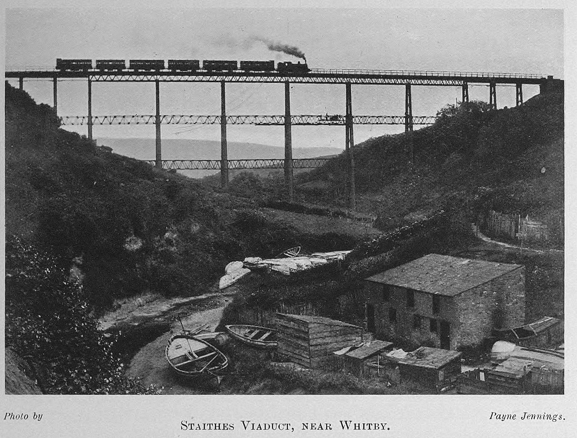
Staithes Viaduct
Staithes Viaduct was a railway bridge that straddled Staithes Beck at Staithes, Yorkshire, England. It was north of the closed Staithes railway station...
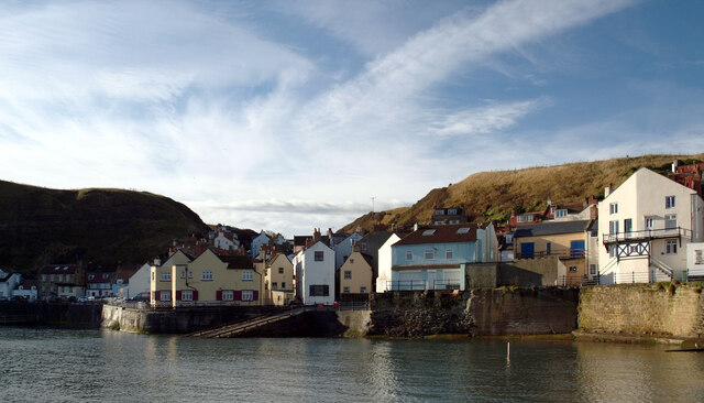
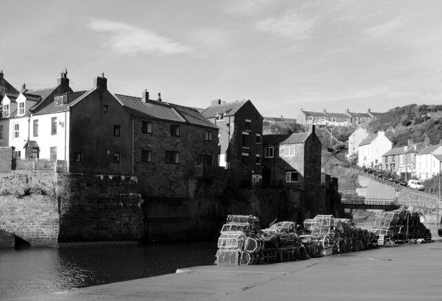
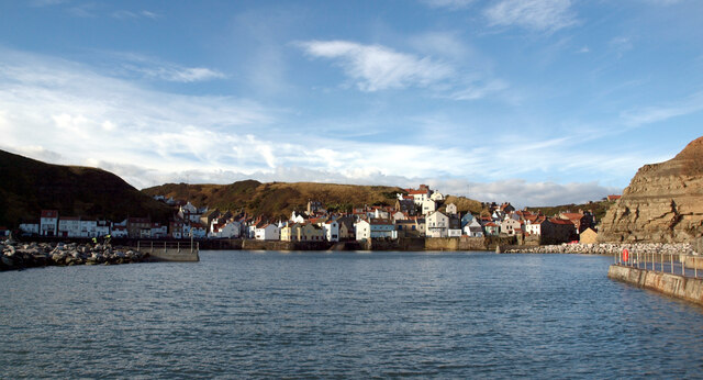
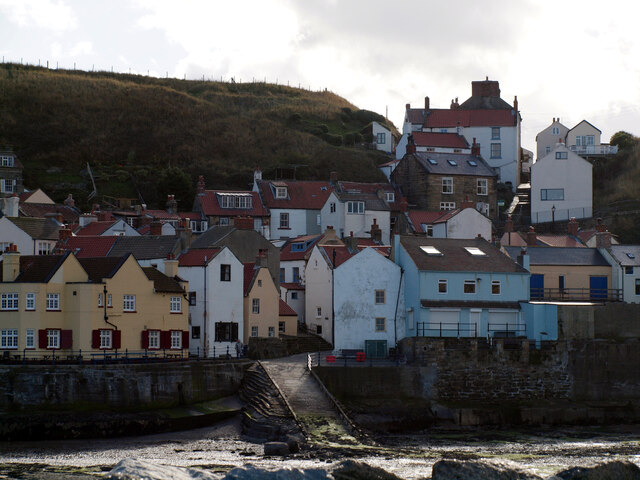
Staithes
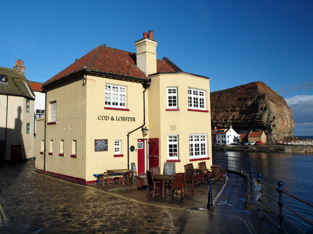
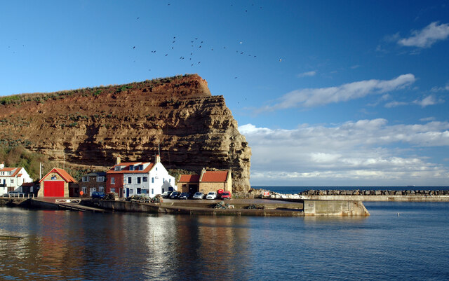
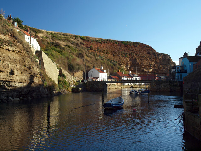
Staithes is a seaside village in North Yorkshire, England. Easington and Roxby Becks, two brooks that run into Staithes Beck, form the border between the...
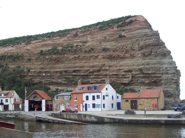
Staithes and Runswick Lifeboat Station
Staithes and Runswick Lifeboat Station is a Royal National Lifeboat Institution (RNLI) lifeboat station based in the village of Staithes, North Yorkshire...

Hinderwell railway station
Hinderwell railway station was a railway station on the Whitby Redcar and Middlesbrough Union Railway. It was opened on 3 December 1883, and served the...

Runswick Bay
Runswick Bay is a bay in the Scarborough Borough of North Yorkshire, England. It is also the name of a village located on the western edge of the bay...
Nearby Amenities
Located within 500m of 54.549343,-0.77510109Have you been to Beacon Hill?
Leave your review of Beacon Hill below (or comments, questions and feedback).