Rockhole Hill
Hill, Mountain in Yorkshire
England
Rockhole Hill
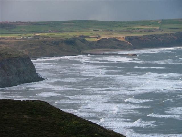
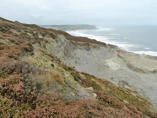
Rockhole Hill is a prominent natural landmark located in the picturesque region of Yorkshire, England. Standing at an elevation of approximately 450 meters, it is classified as a hill rather than a mountain. Situated near the village of Grassington, Rockhole Hill offers stunning views of the surrounding countryside, making it a popular destination for hikers, nature enthusiasts, and photographers.
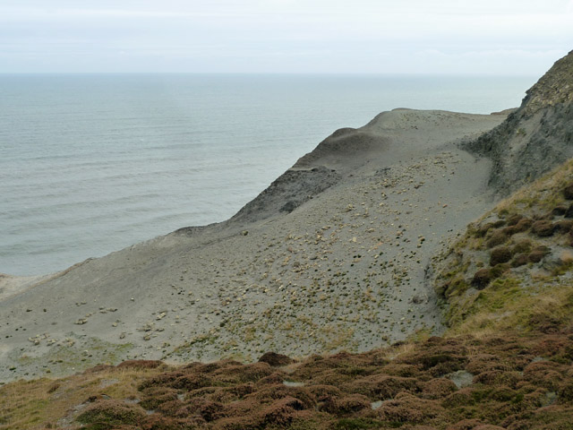
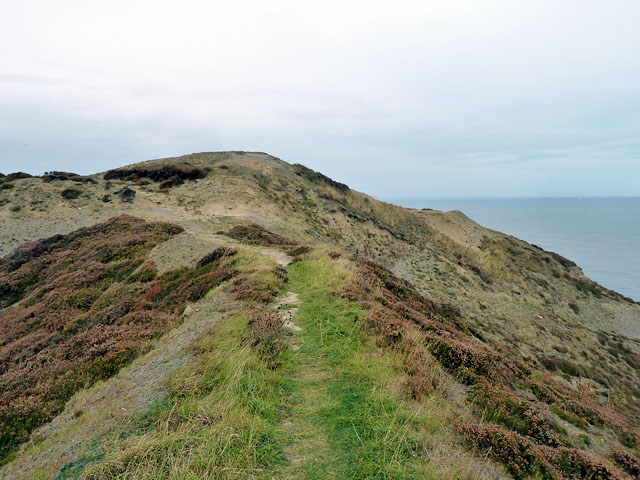
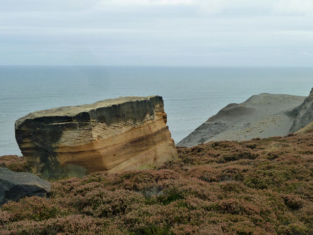
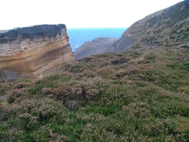
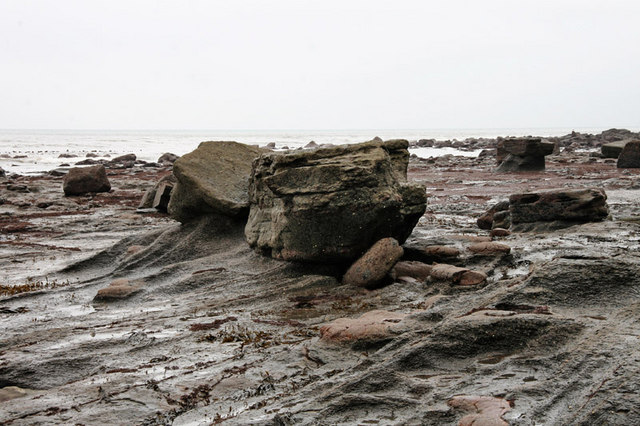
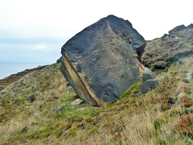
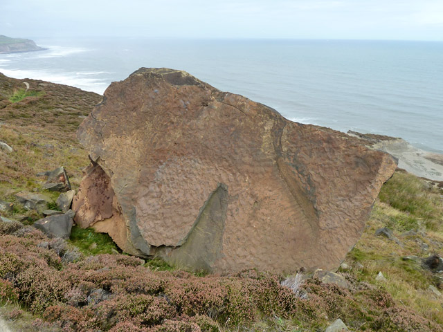
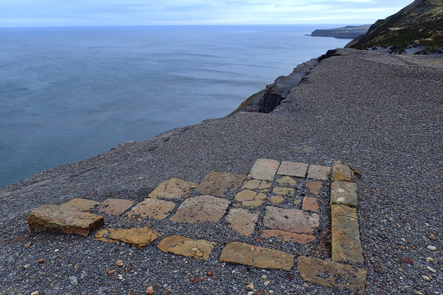
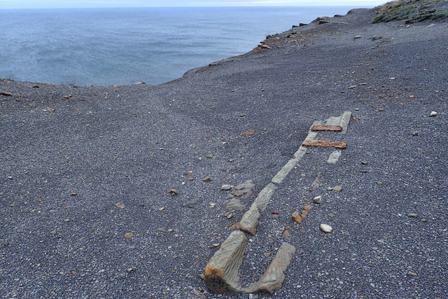
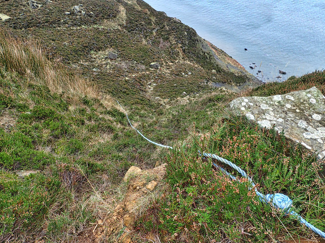
The hill is characterized by its rugged terrain, consisting of a mixture of grassy slopes, rocky outcrops, and dense woodland. Its name, Rockhole Hill, is derived from the numerous small caves or rock shelters that can be found on its slopes. These formations are believed to have been used by early inhabitants of the area for shelter and protection.
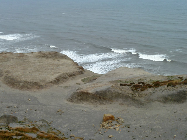
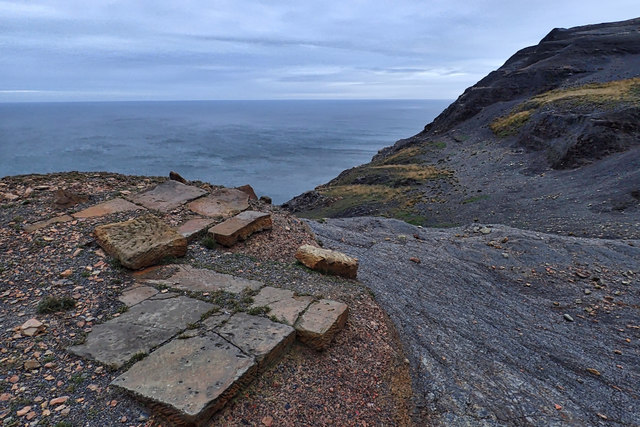
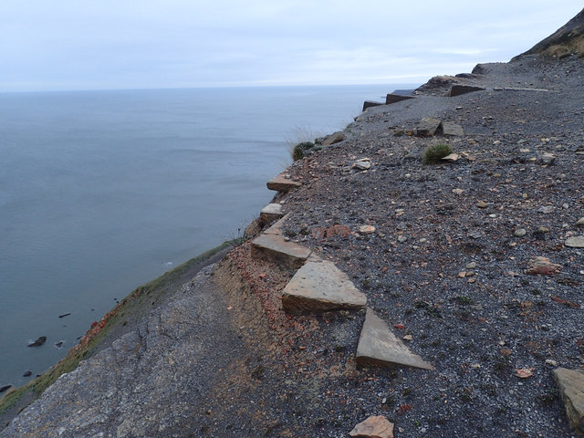
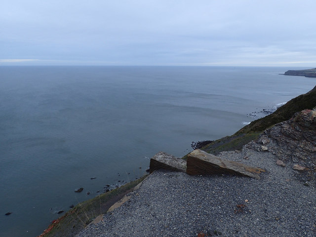
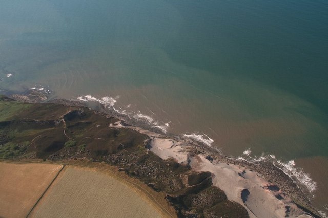
The ascent to the summit of Rockhole Hill can be challenging, with steep sections and uneven footing. However, those who persevere are rewarded with breathtaking vistas of the Yorkshire Dales National Park, including rolling hills, meandering rivers, and picturesque villages. On a clear day, it is even possible to see as far as the distant peaks of the Pennines.
The hill is home to a diverse range of flora and fauna, including heather, bracken, and a variety of bird species. It is not uncommon to encounter grazing sheep or even the occasional hare darting across the landscape.
Overall, Rockhole Hill is a captivating natural landmark in Yorkshire, offering visitors a chance to immerse themselves in the beauty of the region's countryside and experience the tranquility of its untamed wilderness.
If you have any feedback on the listing, please let us know in the comments section below.
Rockhole Hill Images
Images are sourced within 2km of 54.562957/-0.83307606 or Grid Reference NZ7519. Thanks to Geograph Open Source API. All images are credited.
Rockhole Hill is located at Grid Ref: NZ7519 (Lat: 54.562957, Lng: -0.83307606)
Division: North Riding
Unitary Authority: Redcar and Cleveland
Police Authority: Cleveland
What 3 Words
///valued.preparing.moods. Near Loftus, North Yorkshire
Nearby Locations
Related Wikis
Boulby
Boulby is a hamlet in the Loftus parish, located within the North York Moors National Park. It is in the borough of Redcar and Cleveland, North Yorkshire...

Boulby Quarries
Boulby Quarries (grid reference NZ745200) is a 40.3 hectare geological Site of Special Scientific Interest in Redcar and Cleveland, North Yorkshire, England...

ZEPLIN-III
The ZEPLIN-III dark matter experiment attempted to detect galactic WIMPs using a 12 kg liquid xenon target. It operated from 2006 to 2011 at the Boulby...
Directional Recoil Identification from Tracks
The Directional Recoil Identification from Tracks (DRIFT) detector is a low pressure negative ion time projection chamber (NITPC) designed to detect weakly...

UK Dark Matter Collaboration
The UK Dark Matter Collaboration (UKDMC) (1987–2007) was an experiment to search for Weakly interacting massive particles (WIMPs). The consortium consisted...

Boulby Mine
Boulby Mine is a 200-hectare (490-acre) site located just south-east of the village of Boulby, on the north-east coast of the North York Moors in Loftus...

Easington, North Yorkshire
Easington is a village in the civil parish of Loftus, in the Redcar and Cleveland district, in the ceremonial county of North Yorkshire, England and is...
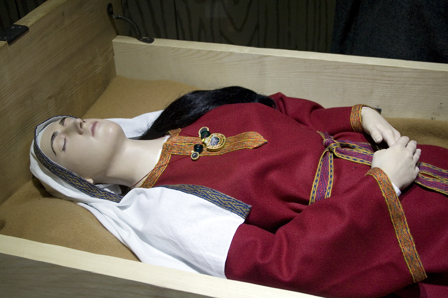
Street House Anglo-Saxon cemetery
The Street House Anglo-Saxon cemetery is an Anglo-Saxon burial ground, dating to the second half of the 7th century AD, that was discovered at Street House...
Nearby Amenities
Located within 500m of 54.562957,-0.83307606Have you been to Rockhole Hill?
Leave your review of Rockhole Hill below (or comments, questions and feedback).