Cowsland Hill

Hill, Mountain in Nottinghamshire Bassetlaw

England

Cowsland Hill

Entrance to Whinleys Farm
Entrance to Whinleys Farm Credit: thejackrustles

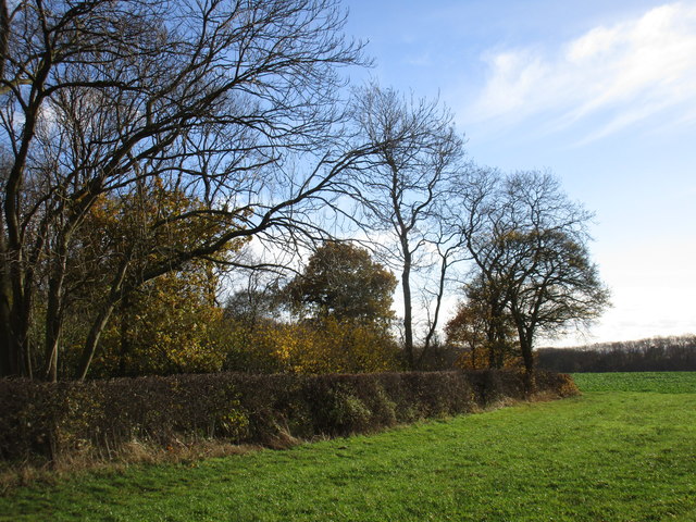
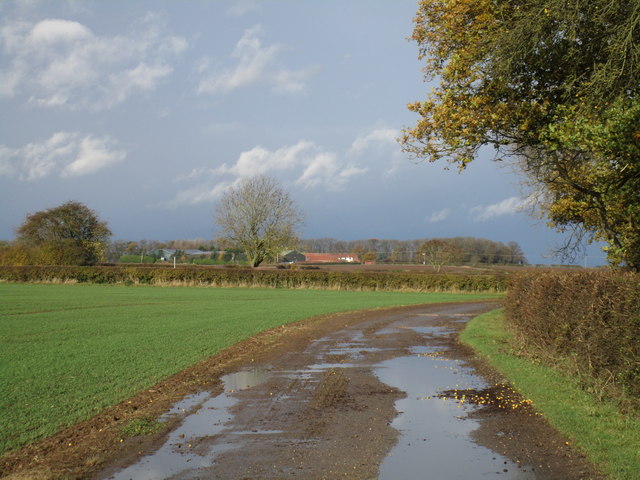
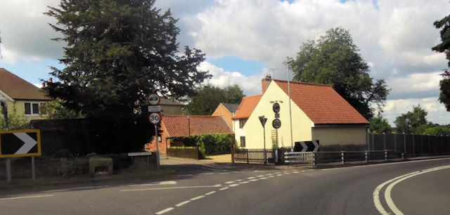
Cowsland Hill is a prominent geographical feature located in the county of Nottinghamshire, England. Situated in the eastern part of the county, it is classified as a hill rather than a mountain due to its relatively modest elevation. The hill is part of the wider Trent Valley landscape, which is characterized by undulating terrain and agricultural fields.

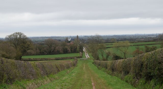
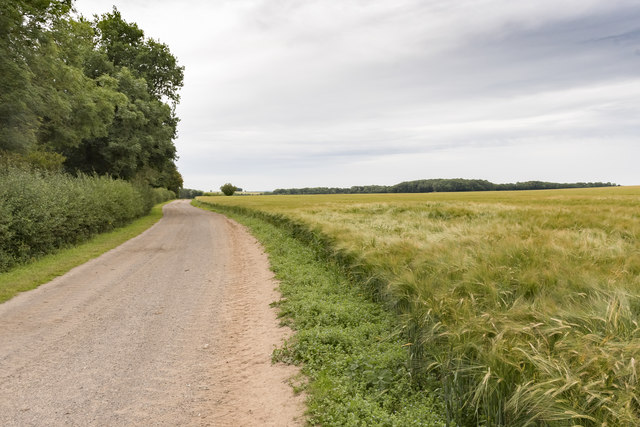
Cowsland Hill rises to a height of approximately 200 meters (650 feet) above sea level, offering panoramic views of the surrounding countryside. Its slopes are covered with a patchwork of green fields, hedgerows, and scattered woodlands, creating a picturesque and idyllic setting. The hill is primarily composed of sandstone, a common geological formation in the region.

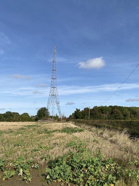
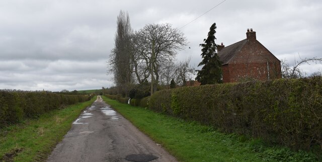
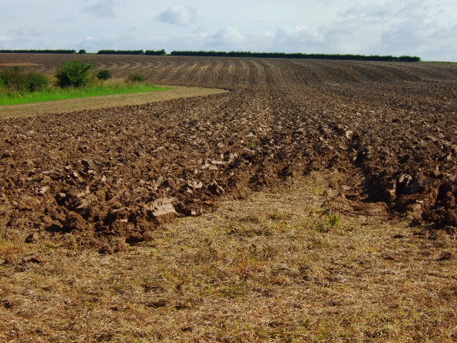
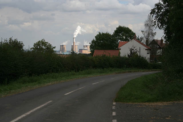
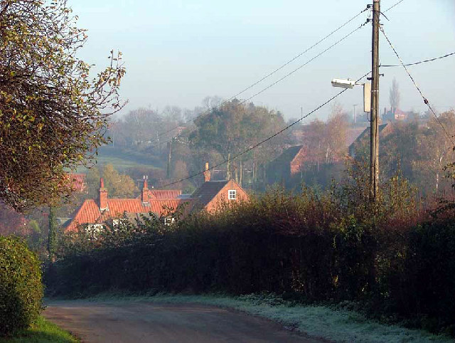
The area surrounding Cowsland Hill is predominantly rural, with a few scattered farms and small villages nearby. It is known for its agricultural heritage, with farming playing a significant role in the local economy. The fertile soil and favorable climate make it an ideal location for livestock farming, particularly cattle, which graze on the hillsides.

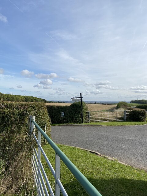
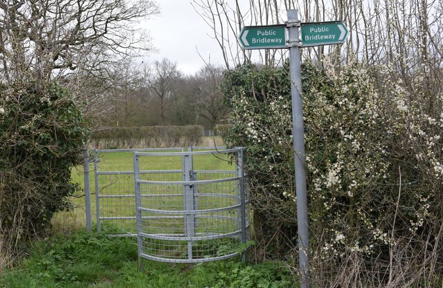
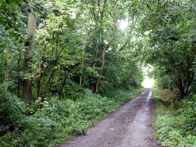
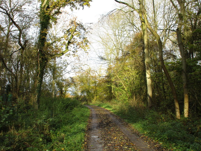
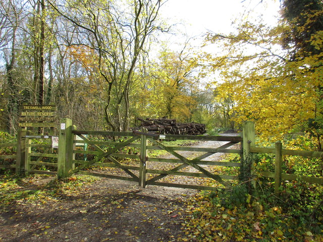
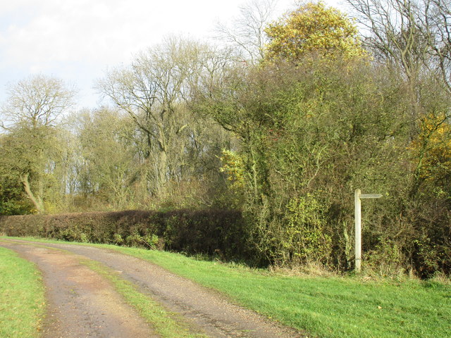
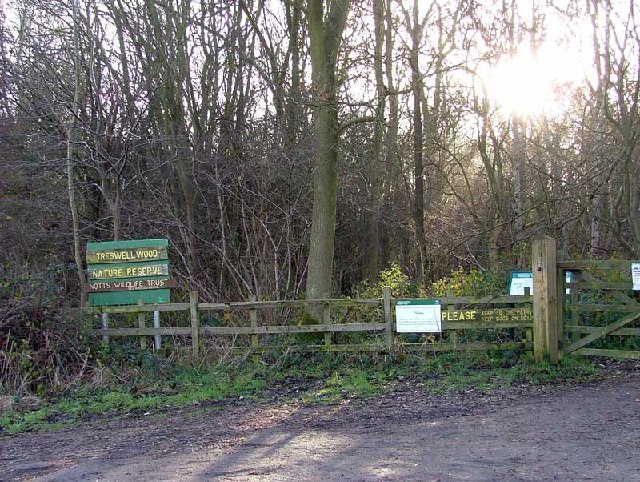
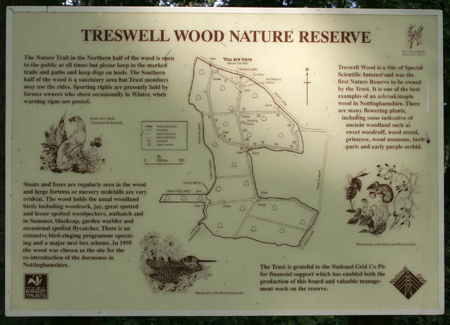
Cowsland Hill is also a popular destination for outdoor enthusiasts and nature lovers. The hill offers numerous walking trails and footpaths, allowing visitors to explore the surrounding countryside and enjoy the breathtaking views. The hill's rich biodiversity attracts a variety of wildlife, including birds, small mammals, and insects, making it a haven for nature enthusiasts.

Overall, Cowsland Hill is a scenic and tranquil location, offering a glimpse into the rural beauty of Nottinghamshire's landscape.

If you have any feedback on the listing, please let us know in the comments section below.

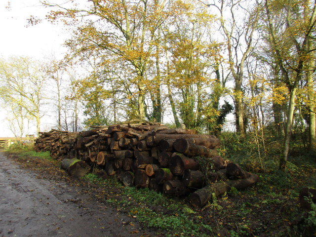
Cowsland Hill Images

Images are sourced within 2km of 53.323896/-0.86706013 or Grid Reference SK7581. Thanks to Geograph Open Source API. All images are credited.

Entrance to Whinleys Farm
Schrog Hill Mast
Schrog Hill Mast
Railway line towards the Clarborough tunnel. Taken from the crossing.
Railway line towards the Clarborough tunnel.
Taken from the crossing.
Footpath to Caddow wood. A walk from Clarborough.
Footpath to Caddow wood.
A walk from Clarborough.
The Retford gate bridleway. Walking to North Leverton.
The Retford gate bridleway.
Walking to North Leverton.
Caddow wood farm Looking back up the Retford gate path.
Caddow wood farm
Looking back up the Retford gate path.
In Treswell Wood
In Treswell Wood
Track in Treswell Wood Treswell Wood is owned by the Nottinghamshire Wildlife Trust and is a Site of Special Scientific Interest <span class="nowrap"><a title="http://www.nottinghamshirewildlife.org/nature-reserves/treswell-wood-sssi/" rel="nofollow ugc noopener" href="http://www.nottinghamshirewildlife.org/nature-reserves/treswell-wood-sssi/">Link</a><img style="margin-left:2px;" alt="External link" title="External link - shift click to open in new window" src="https://s1.geograph.org.uk/img/external.png" width="10" height="10"/></span>
Track in Treswell Wood
Treswell Wood is owned by the Nottinghamshire Wildlife Trust and is a Site of Special Scientific Interest LinkExternal link
A corner of Treswell Wood A footpath runs to Bottom Wood Farm from here.
A corner of Treswell Wood
A footpath runs to Bottom Wood Farm from here.
Entrance to Treswell Wood Treswell Wood is owned by the Nottinghamshire Wildlife Trust and is a Site of Special Scientific Interest <span class="nowrap"><a title="http://www.nottinghamshirewildlife.org/nature-reserves/treswell-wood-sssi/" rel="nofollow ugc noopener" href="http://www.nottinghamshirewildlife.org/nature-reserves/treswell-wood-sssi/">Link</a><img style="margin-left:2px;" alt="External link" title="External link - shift click to open in new window" src="https://s1.geograph.org.uk/img/external.png" width="10" height="10"/></span>
Entrance to Treswell Wood
Treswell Wood is owned by the Nottinghamshire Wildlife Trust and is a Site of Special Scientific Interest LinkExternal link
Farm track at Treswell Wood This doubles as a public footpath. Cowsland Farm in the distance.
Farm track at Treswell Wood
This doubles as a public footpath. Cowsland Farm in the distance.
Footpath alongside Treswell Wood
Stacked timber at Treswell Wood
Track along Treswell Wood Heading south.
Track along Treswell Wood
Heading south.
Treswell Wood Nature Reserve
Ploughed field This was taken as a comparison to the other ploughed field,the soil on this side of the brook seems to have more clay in it, at the top of the field the sun light is picking out the direction of the two way plough.
Ploughed field
This was taken as a comparison to the other ploughed field,the soil on this side of the brook seems to have more clay in it, at the top of the field the sun light is picking out the direction of the two way plough.
Treswell Wood Nature Reserve Map and information in the car park.
Treswell Wood Nature Reserve
Map and information in the car park.
Wood Lane, Treswell From the entrance to Treswell Wood with Cottam Power Station in <a href="https://www.geograph.org.uk/gridref/SK8179">SK8179</a> in the distance
Wood Lane, Treswell
From the entrance to Treswell Wood with Cottam Power Station in SK8179 in the distance
Show me another place!

Cowsland Hill is located at Grid Ref: SK7581 (Lat: 53.323896, Lng: -0.86706013)

Administrative County: Nottinghamshire

District: Bassetlaw

Police Authority: Nottinghamshire

What 3 Words

///blanket.bared.adapt. Near Clarborough, Nottinghamshire

Related Wikis

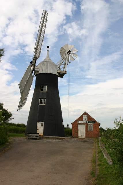
Subscription Mill, North Leverton

Subscription Mill is a commercially working tower mill at North Leverton, Nottinghamshire that was built in 1813. == History == Subscription Mill was built...

Little Gringley

Little Gringley is a hamlet in the Bassetlaw district of northern Nottinghamshire, England. It is 130 miles (210 km) north of London, 27 miles (43 km)...

Hayton, Nottinghamshire

Hayton is a village in Nottinghamshire, England. It is located 4 miles north-east of Retford. According to the 2001 census it had a population (including...

Grove Hall

Grove Hall was an extended Tudor country house located between Retford and Grove in Nottinghamshire, England, and was part of an extensive estate. ��2...

Grove, Nottinghamshire

Grove is a small village and civil parish, located about 2 miles (3.2 km) south-west of Retford, Nottinghamshire. The population of the civil parish as...

St Helen's Church, Grove

St. Helen's Church, Grove is a parish church in the Church of England in Grove, Nottinghamshire. The church is Grade II listed by the Department for Digital...

All Saints' Church, South Leverton

All Saints’ Church, South Leverton is a Grade II* listed parish church in the Church of England in South Leverton, Nottinghamshire. == History == The church...

Welham, Nottinghamshire

Welham is a hamlet in the civil parish of Clarborough and Welham, of Bassetlaw district, in the county of Nottinghamshire, England. It is 130 miles north...

Nearby Amenities

Located within 500m of 53.323896,-0.86706013
GROVE2
Disused: yes
Man Made: petroleum_well
Ref GB Decc: L46/21-91
Source: DECC
Lat/Long: 53.3265833/-0.87275
Power: pole
Lat/Long: 53.3205938/-0.8631539
Power: pole
Lat/Long: 53.3207889/-0.8635802
Power: pole
Lat/Long: 53.3212639/-0.8646012
Power: pole
Lat/Long: 53.321852/-0.8658138
Power: pole
Lat/Long: 53.3223217/-0.8668433
Power: pole
Lat/Long: 53.3223374/-0.8651792
Power: pole
Lat/Long: 53.3229682/-0.868222
Power: pole
Lat/Long: 53.3231873/-0.8696923
Power: pole
Lat/Long: 53.3234231/-0.871152
Power: pole
Lat/Long: 53.3238705/-0.8741248
The data included in this document is from www.openstreetmap.org. The data is made available under ODbL.

Have you been to Cowsland Hill?

Leave your review of Cowsland Hill below (or comments, questions and feedback).