Scrudom Hill
Hill, Mountain in Yorkshire
England
Scrudom Hill
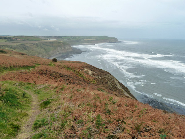
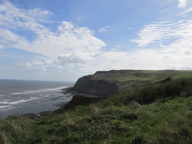
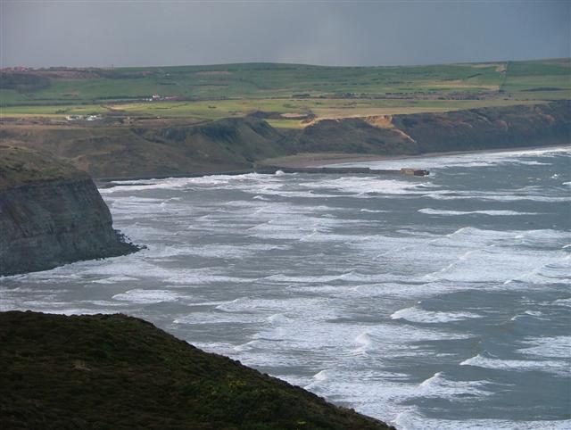
Scrudom Hill is a prominent hill located in the county of Yorkshire, England. Situated in the picturesque Yorkshire Dales National Park, the hill is renowned for its stunning natural beauty and breathtaking panoramic views.
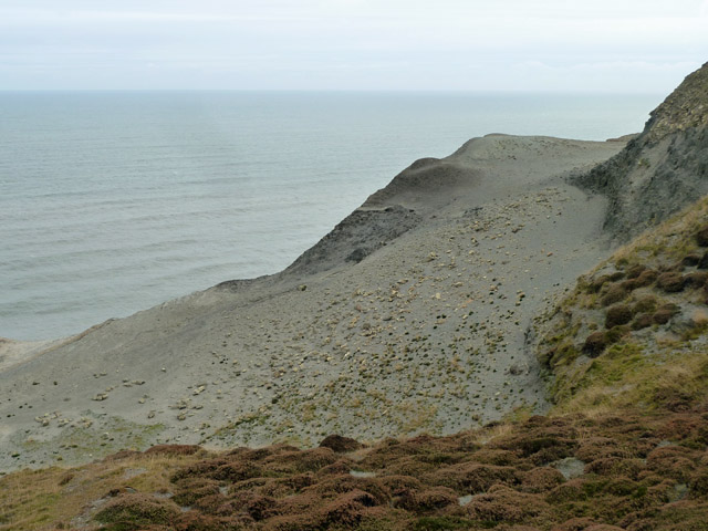
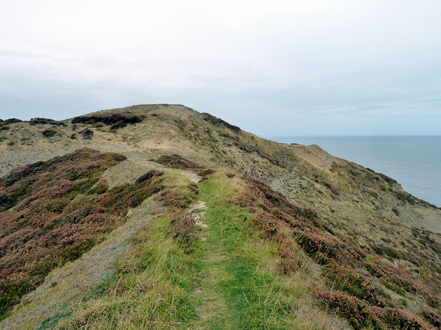
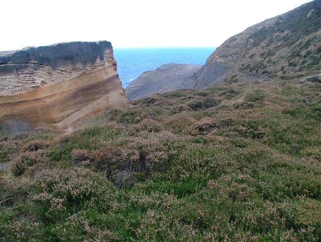
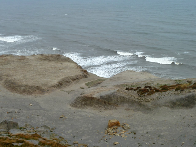
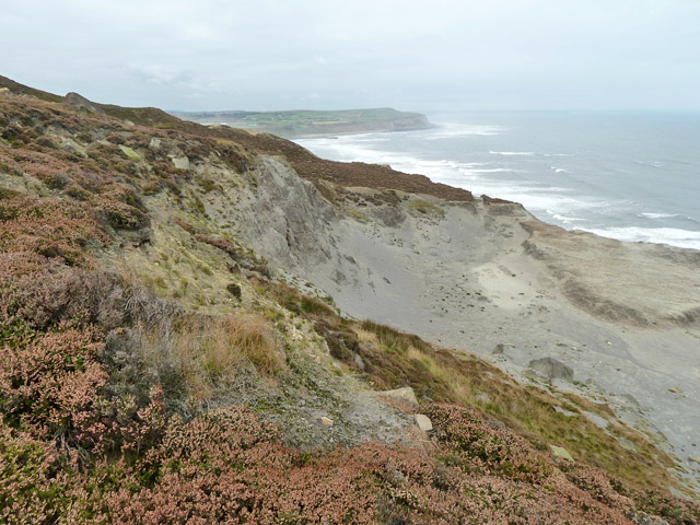
Rising to an elevation of approximately 500 meters (1,640 feet), Scrudom Hill is considered one of the more challenging hikes in the region due to its steep incline. Its distinct conical shape and lush greenery make it a distinctive feature of the landscape.
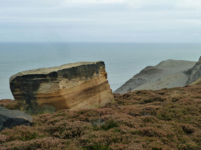
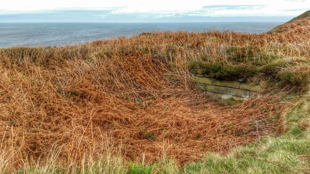
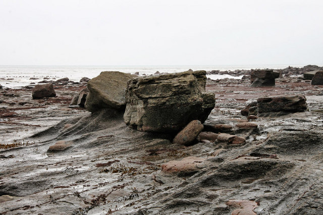
The hill is covered in rich vegetation, including heather, grasses, and shrubs, which provide a habitat for a variety of wildlife. Visitors to Scrudom Hill may encounter grazing sheep, rabbits, and a diverse range of bird species.
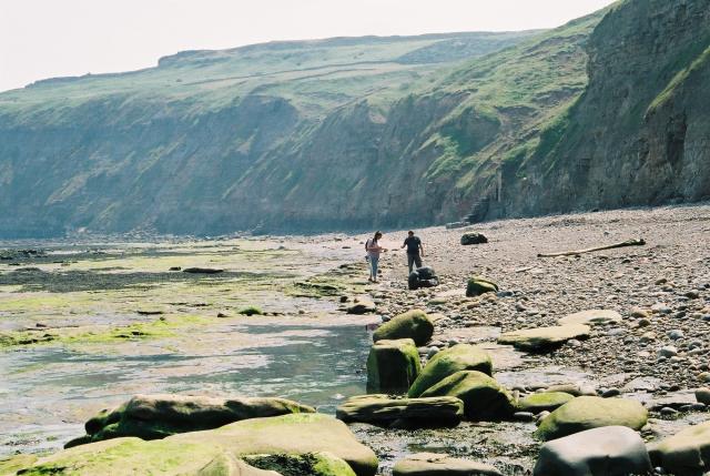
Several hiking trails wind their way up the hill, offering outdoor enthusiasts the opportunity to explore its natural wonders. The ascent can be demanding, but the reward is well worth it. Once at the summit, visitors are treated to breathtaking views of the surrounding countryside, with rolling hills, meandering rivers, and quaint villages dotting the landscape.
Scrudom Hill is also steeped in history and folklore. It is said to have been a site of ancient rituals and is believed to have inspired numerous tales and legends. The hill has been referenced in literature and poetry, further adding to its cultural significance.
Overall, Scrudom Hill is a must-visit destination for nature lovers, hikers, and those seeking a peaceful retreat in the heart of Yorkshire. Its natural beauty, challenging terrain, and rich history make it a truly unique and captivating location.
If you have any feedback on the listing, please let us know in the comments section below.
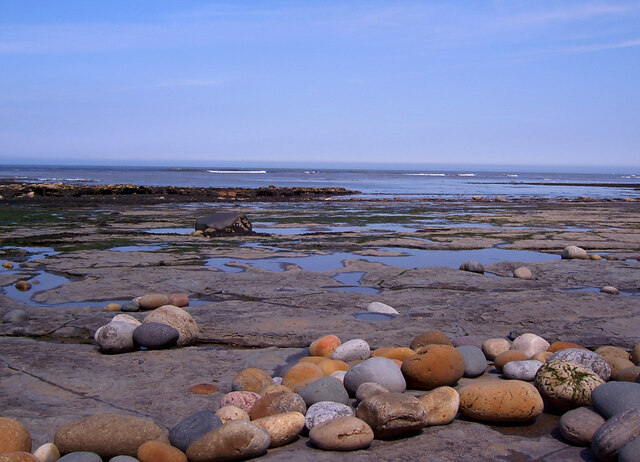
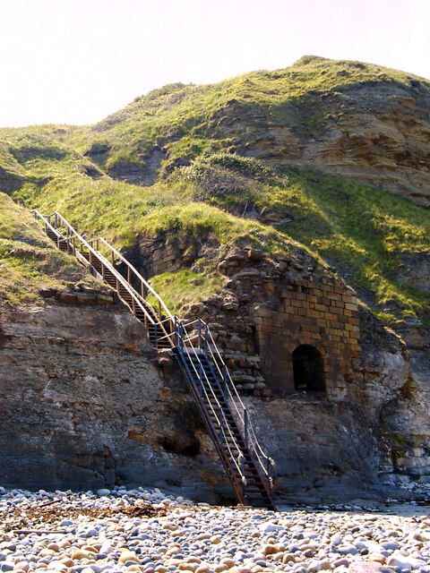
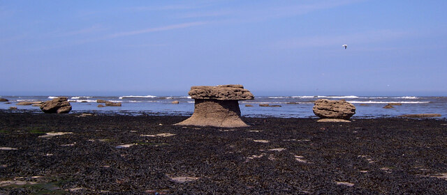
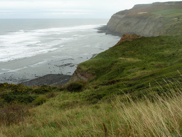
Scrudom Hill Images
Images are sourced within 2km of 54.561204/-0.85749888 or Grid Reference NZ7319. Thanks to Geograph Open Source API. All images are credited.


Scrudom Hill is located at Grid Ref: NZ7319 (Lat: 54.561204, Lng: -0.85749888)
Division: North Riding
Unitary Authority: Redcar and Cleveland
Police Authority: Cleveland
What 3 Words
///fuses.laying.regarding. Near Loftus, North Yorkshire
Nearby Locations
Related Wikis
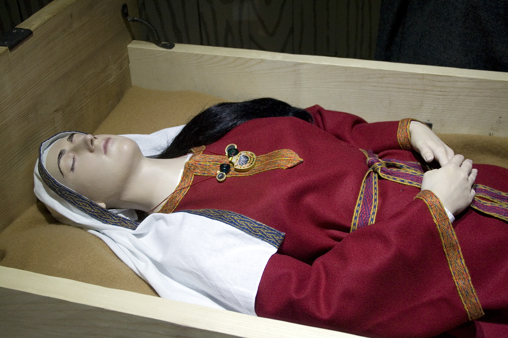
Street House Anglo-Saxon cemetery
The Street House Anglo-Saxon cemetery is an Anglo-Saxon burial ground, dating to the second half of the 7th century AD, that was discovered at Street House...

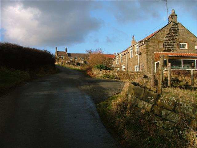
Easington, North Yorkshire
Easington is a village in the civil parish of Loftus, in the Redcar and Cleveland district, in the ceremonial county of North Yorkshire, England and is...

Grinkle railway station
Grinkle railway station was on the Whitby Redcar and Middlesbrough Union Railway. It was opened on 3 December 1883, and served the village of Easington...
Boulby Quarries
Boulby Quarries (grid reference NZ745200) is a 40.3 hectare geological Site of Special Scientific Interest in Redcar and Cleveland, North Yorkshire, England...
Boulby
Boulby is a hamlet in the Loftus parish, located within the North York Moors National Park. It is in the borough of Redcar and Cleveland, North Yorkshire...
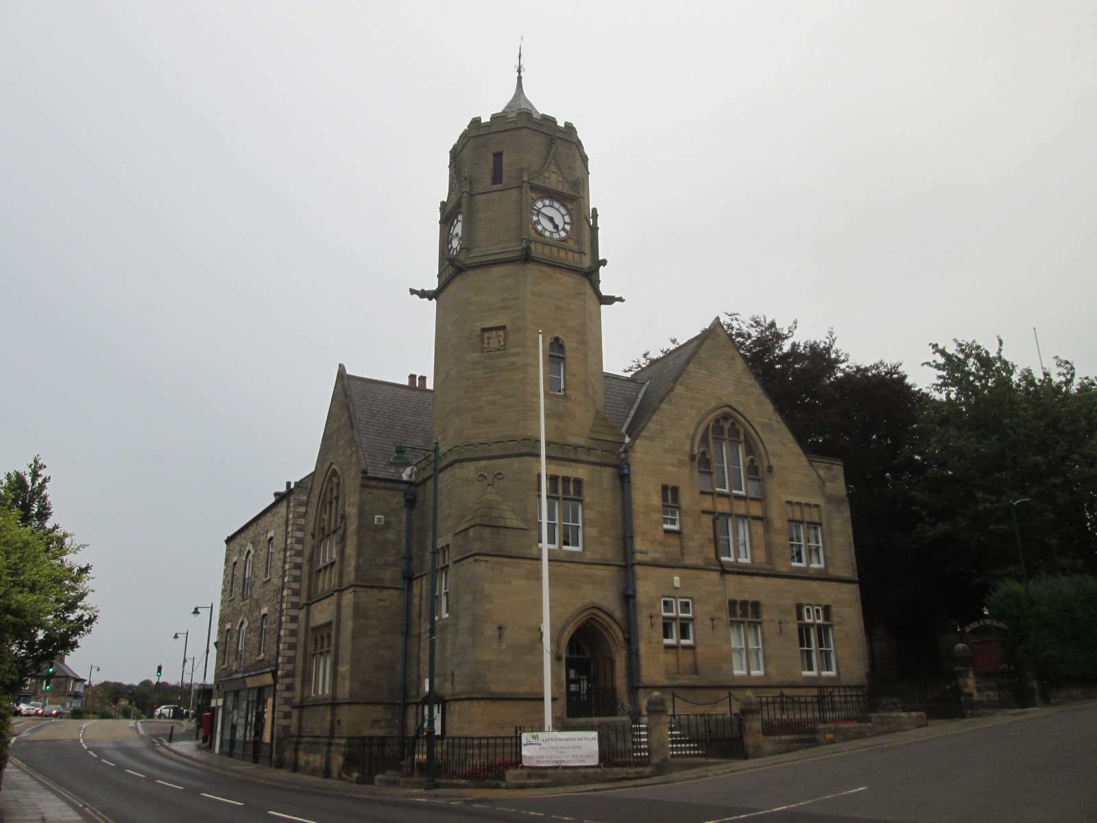
Loftus Town Hall
Loftus Town Hall is a municipal building in Water Lane in Loftus, North Yorkshire, England. The structure, which accommodates the offices and meeting place...
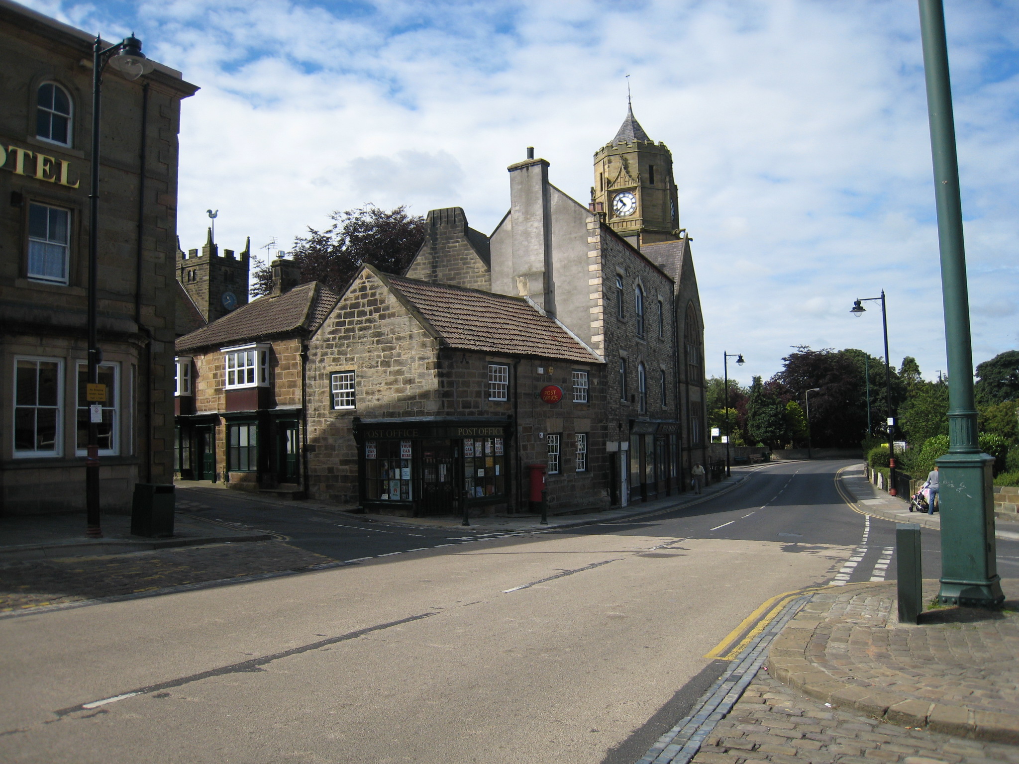
Loftus, North Yorkshire
Loftus is a market town and civil parish in the Redcar and Cleveland borough of North Yorkshire, England. The town is located north of the North York Moors...

ZEPLIN-III
The ZEPLIN-III dark matter experiment attempted to detect galactic WIMPs using a 12 kg liquid xenon target. It operated from 2006 to 2011 at the Boulby...
Nearby Amenities
Located within 500m of 54.561204,-0.85749888Have you been to Scrudom Hill?
Leave your review of Scrudom Hill below (or comments, questions and feedback).