The Warren
Downs, Moorland in Yorkshire
England
The Warren
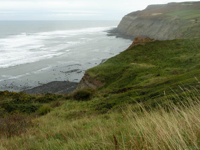
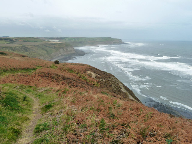
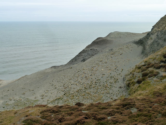
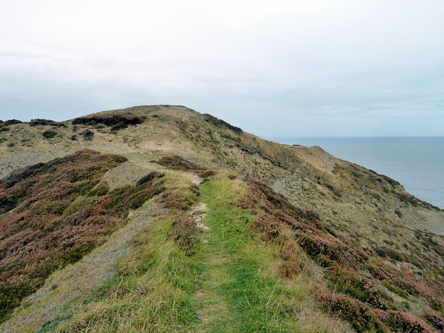
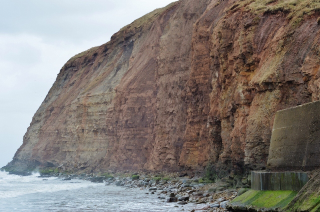
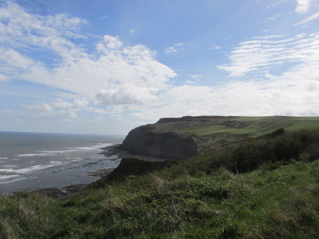
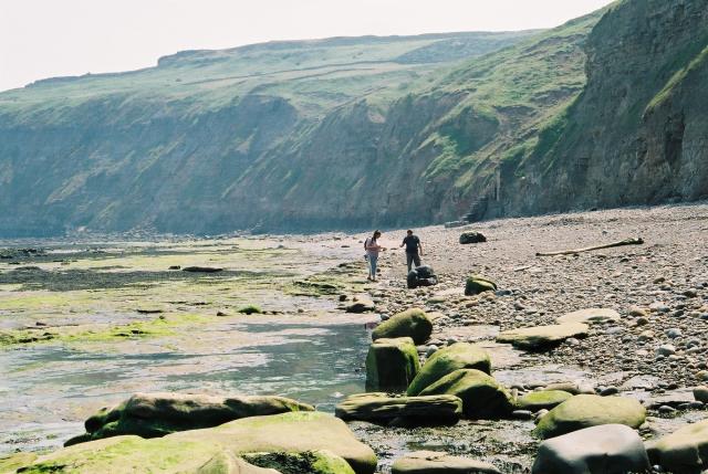
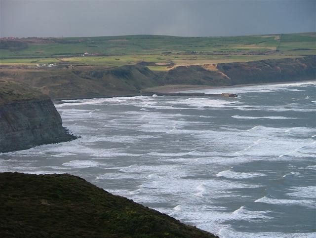
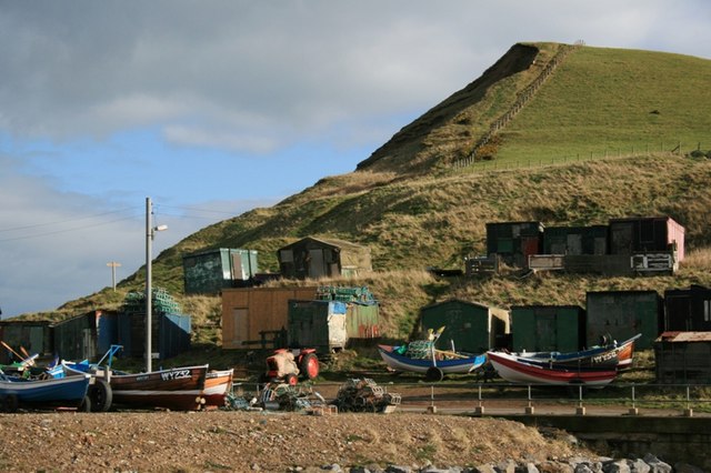
The Warren, located in Yorkshire, England, is a picturesque area characterized by its beautiful downs and moorland landscapes. Stretching across an expansive area, it is a popular destination for nature enthusiasts and outdoor adventurers alike. The scenery is dominated by rolling hills, vast stretches of greenery, and rugged terrain.
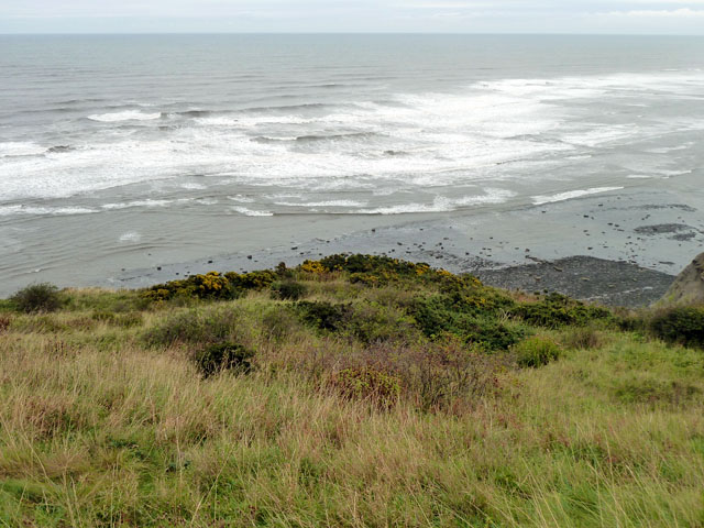
The downs in The Warren offer panoramic views of the surrounding countryside and are dotted with grazing sheep, giving the area a charming rural feel. Visitors can enjoy long walks or hikes along the well-maintained footpaths that crisscross the downs, taking in the fresh air and stunning vistas.
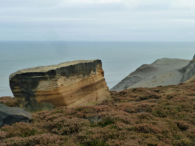
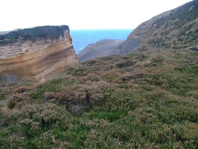
The moorland in The Warren is equally impressive, with its wild and untamed beauty. Clusters of heather and gorse create a striking contrast against the dramatic backdrop of the moors. This area is home to a rich variety of wildlife, including birds of prey, such as kestrels and buzzards, as well as small mammals like rabbits and foxes.
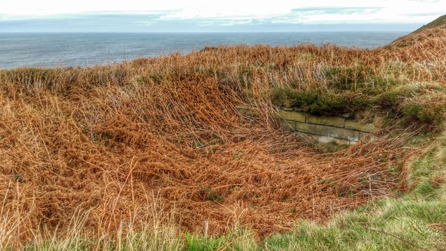
For those interested in history, The Warren also boasts several ancient archaeological sites. These include burial mounds and standing stones, offering a glimpse into the area's past.
The Warren is a haven for outdoor activities, offering opportunities for horseback riding, cycling, and even camping. Its tranquil and unspoiled environment provides a peaceful retreat from the hustle and bustle of everyday life.
In conclusion, The Warren in Yorkshire is a captivating destination, combining stunning downs and moorland landscapes with a rich history and an array of outdoor activities. It is a place where visitors can immerse themselves in nature, explore ancient sites, and enjoy the tranquility of the countryside.
If you have any feedback on the listing, please let us know in the comments section below.
The Warren Images
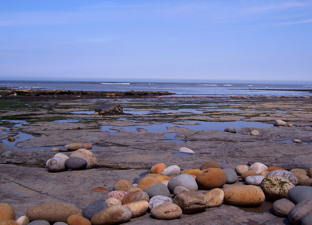
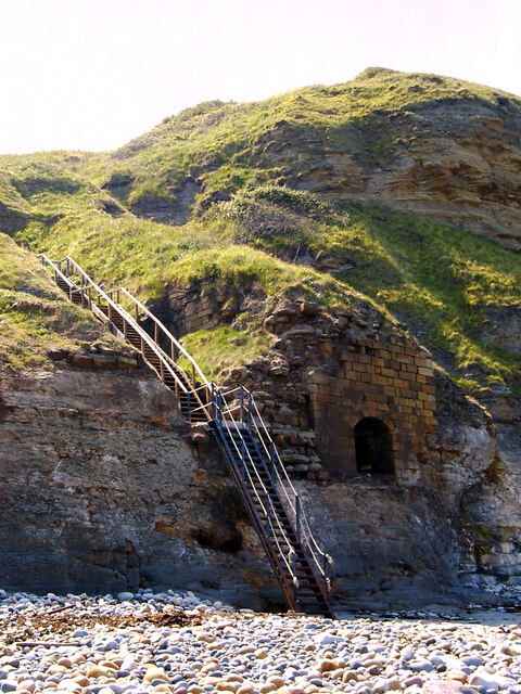
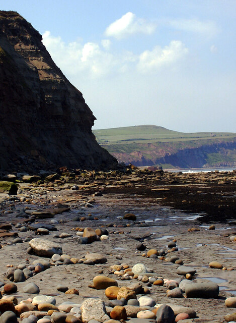
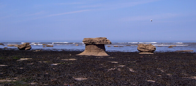
Images are sourced within 2km of 54.568828/-0.86543725 or Grid Reference NZ7319. Thanks to Geograph Open Source API. All images are credited.
The Warren is located at Grid Ref: NZ7319 (Lat: 54.568828, Lng: -0.86543725)
Division: North Riding
Unitary Authority: Redcar and Cleveland
Police Authority: Cleveland
What 3 Words
///irony.chip.equity. Near Skinningrove, North Yorkshire
Nearby Locations
Related Wikis
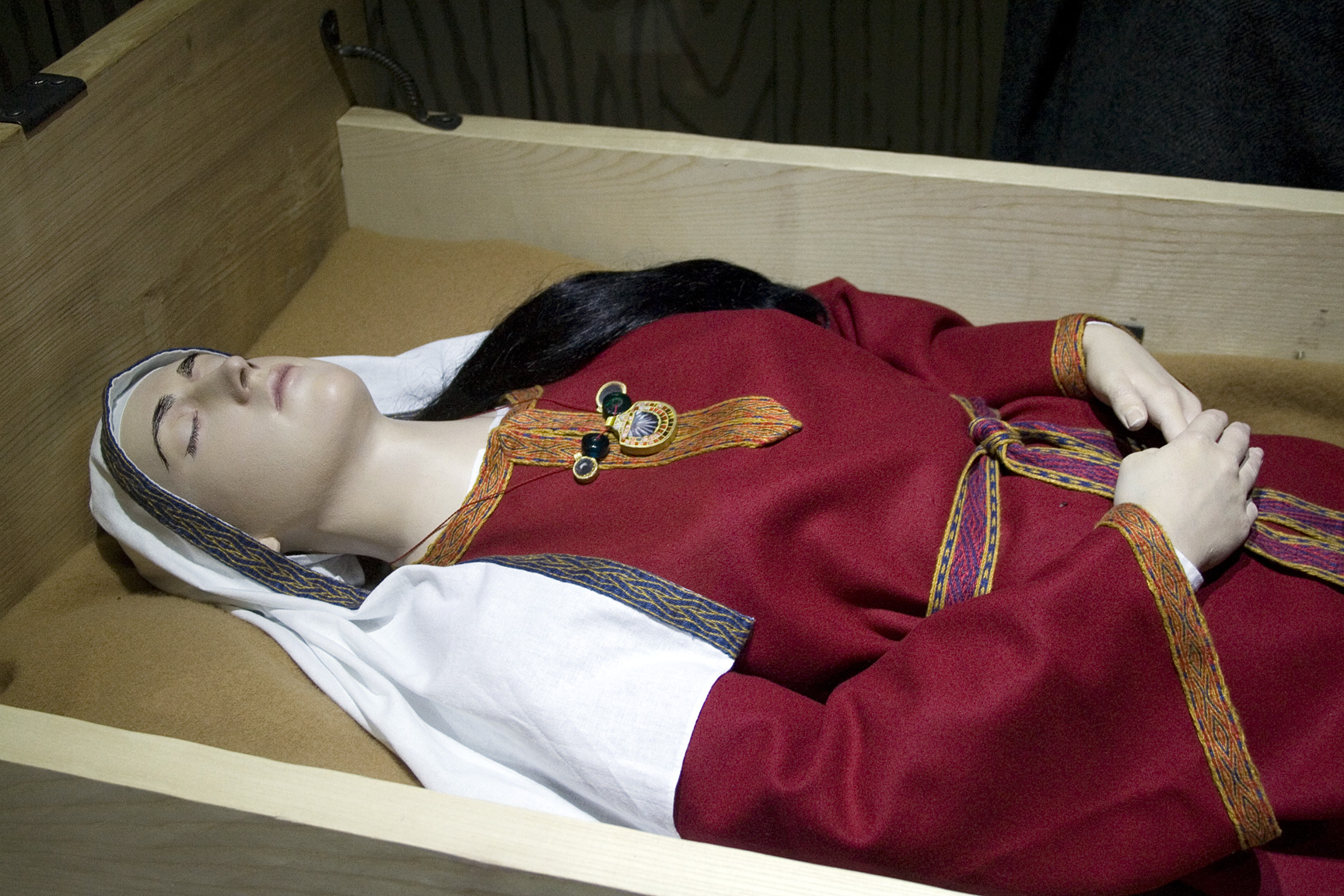
Street House Anglo-Saxon cemetery
The Street House Anglo-Saxon cemetery is an Anglo-Saxon burial ground, dating to the second half of the 7th century AD, that was discovered at Street House...

Boulby Quarries
Boulby Quarries (grid reference NZ745200) is a 40.3 hectare geological Site of Special Scientific Interest in Redcar and Cleveland, North Yorkshire, England...

Easington, North Yorkshire
Easington is a village in the civil parish of Loftus, in the Redcar and Cleveland district, in the ceremonial county of North Yorkshire, England and is...
Grinkle railway station
Grinkle railway station was on the Whitby Redcar and Middlesbrough Union Railway. It was opened on 3 December 1883, and served the village of Easington...
Nearby Amenities
Located within 500m of 54.568828,-0.86543725Have you been to The Warren?
Leave your review of The Warren below (or comments, questions and feedback).