Hummersea Bank
Cliff, Slope in Yorkshire
England
Hummersea Bank
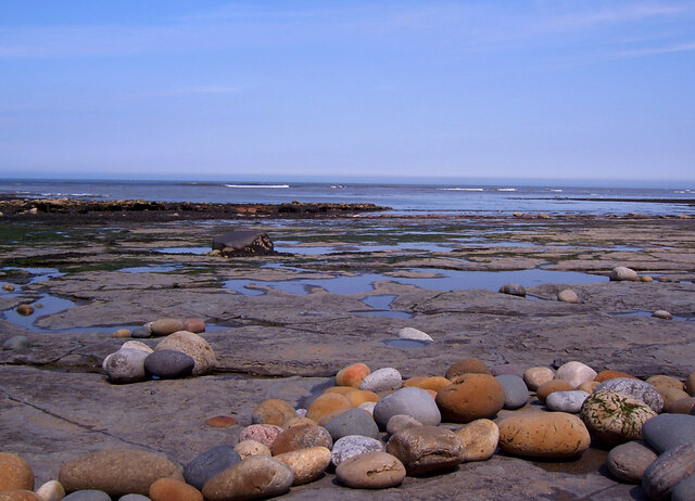
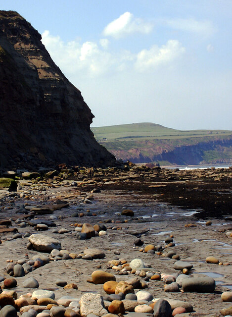
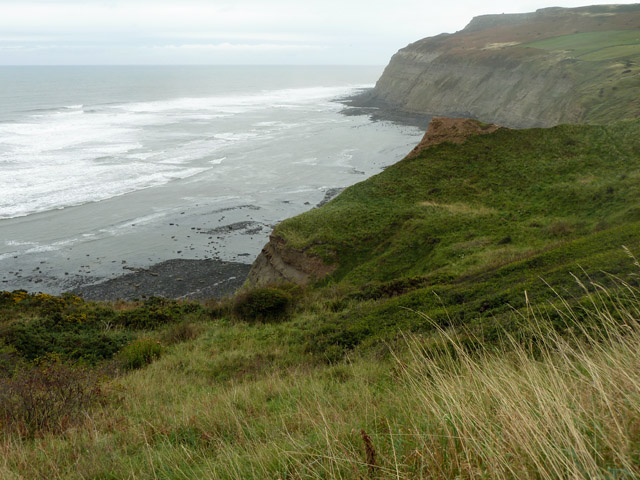
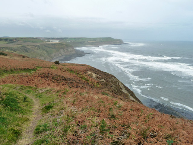
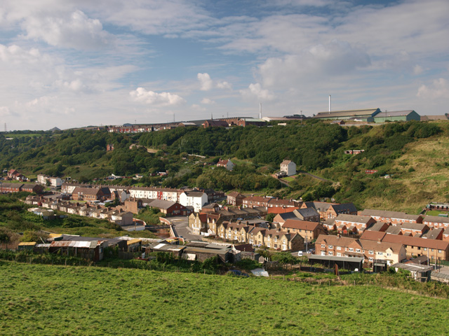
Hummersea Bank is a prominent cliff and slope located in Yorkshire, England. Situated on the northeastern coast of England, overlooking the North Sea, this geological formation is a popular attraction for locals and tourists alike. The bank is positioned near the village of Loftus, within the Redcar and Cleveland borough.
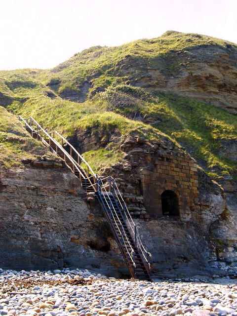
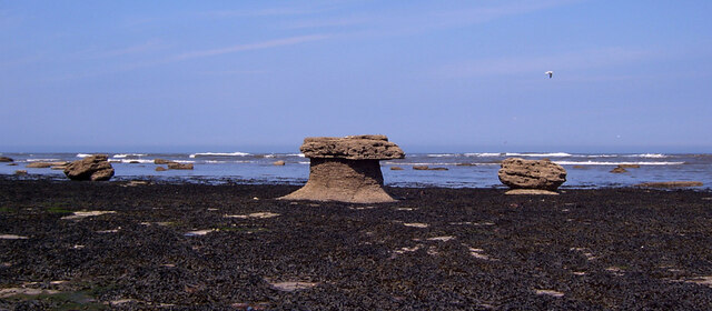
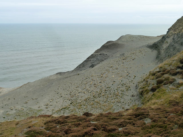
Rising to a height of approximately 200 feet (61 meters), Hummersea Bank offers breathtaking views of the surrounding area. Its striking white cliffs, composed of sandstone and shale, have been shaped over millions of years by the powerful forces of erosion and weathering. The exposed layers of rock reveal a fascinating geological history, with evidence of ancient marine life preserved within.
The bank is also notable for its diverse flora and fauna. The cliffs provide nesting sites for several bird species, including fulmars, kittiwakes, and guillemots. Rare plants, such as the yellow-horned poppy and sea kale, thrive in the cliff's crevices, adding vibrant splashes of color to the landscape.
Visitors to Hummersea Bank can explore the area on foot, following designated paths and trails that wind along the cliff top. The bank is part of the Cleveland Way, a long-distance footpath that spans 109 miles (175 kilometers) along the North York Moors and Yorkshire Coast. Adventurous individuals can also descend the cliff face to access the secluded beach below, although caution is advised due to the steep and unstable nature of the slope.
Overall, Hummersea Bank offers a captivating blend of natural beauty, geological intrigue, and wildlife diversity. It serves as a testament to the dynamic forces that have shaped the Yorkshire coastline over millennia, making it a must-visit destination for nature enthusiasts and geology aficionados.
If you have any feedback on the listing, please let us know in the comments section below.
Hummersea Bank Images
Images are sourced within 2km of 54.569895/-0.86896532 or Grid Reference NZ7319. Thanks to Geograph Open Source API. All images are credited.


Hummersea Bank is located at Grid Ref: NZ7319 (Lat: 54.569895, Lng: -0.86896532)
Division: North Riding
Unitary Authority: Redcar and Cleveland
Police Authority: Cleveland
What 3 Words
///somewhere.scout.juggled. Near Skinningrove, North Yorkshire
Nearby Locations
Related Wikis
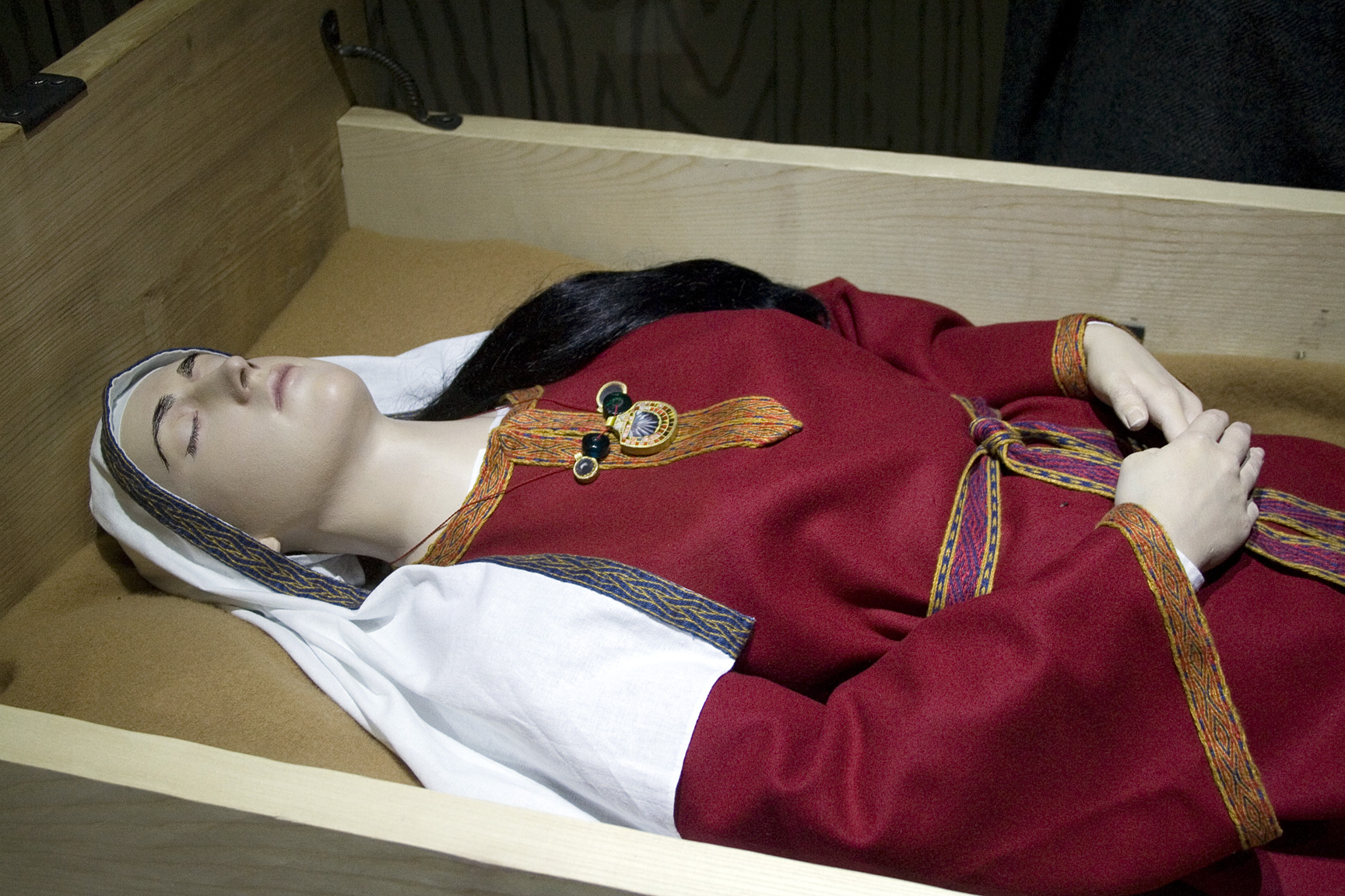
Street House Anglo-Saxon cemetery
The Street House Anglo-Saxon cemetery is an Anglo-Saxon burial ground, dating to the second half of the 7th century AD, that was discovered at Street House...

Boulby Quarries
Boulby Quarries (grid reference NZ745200) is a 40.3 hectare geological Site of Special Scientific Interest in Redcar and Cleveland, North Yorkshire, England...
Skinningrove
Skinningrove is a village in the civil parish of Loftus, in the Redcar and Cleveland district, in the ceremonial county of North Yorkshire, England. Its...
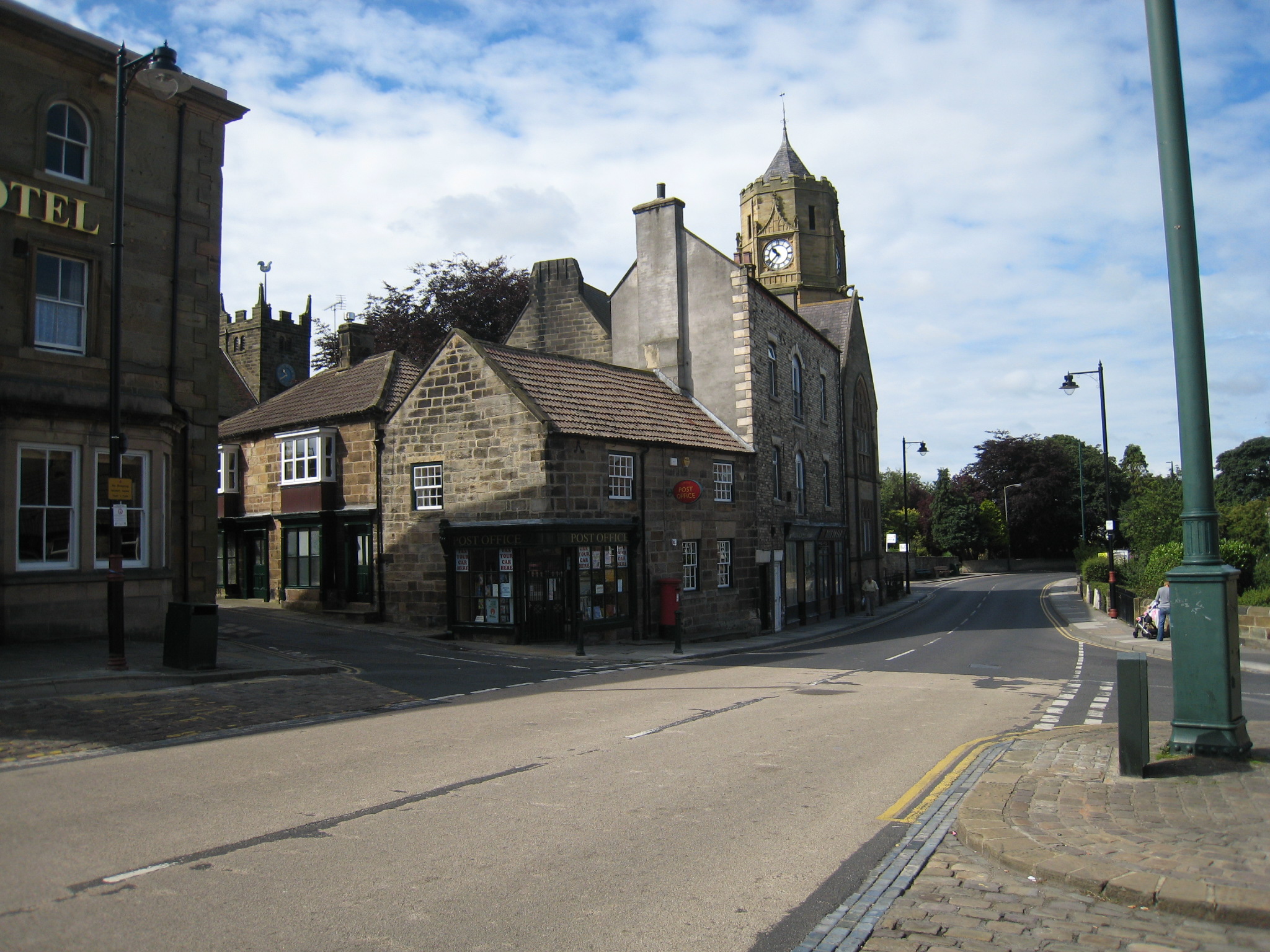
Loftus, North Yorkshire
Loftus is a market town and civil parish in the Redcar and Cleveland borough of North Yorkshire, England. The town is located north of the North York Moors...
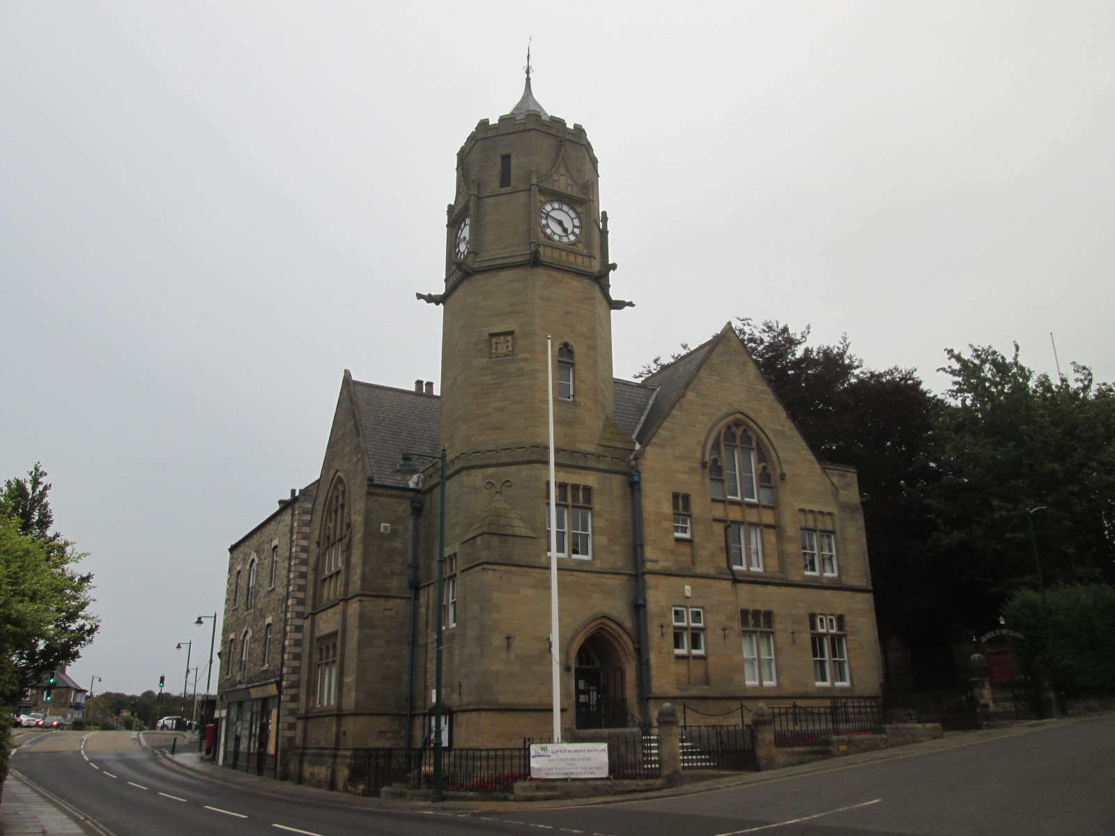
Loftus Town Hall
Loftus Town Hall is a municipal building in Water Lane in Loftus, North Yorkshire, England. The structure, which accommodates the offices and meeting place...
Grinkle railway station
Grinkle railway station was on the Whitby Redcar and Middlesbrough Union Railway. It was opened on 3 December 1883, and served the village of Easington...

Easington, North Yorkshire
Easington is a village in the civil parish of Loftus, in the Redcar and Cleveland district, in the ceremonial county of North Yorkshire, England and is...
Skinningrove Steelworks
Skinningrove steelworks is a steel mill in Skinningrove, North Yorkshire, England. The business was formed in 1874 as the Loftus Iron Company, after a...
Nearby Amenities
Located within 500m of 54.569895,-0.86896532Have you been to Hummersea Bank?
Leave your review of Hummersea Bank below (or comments, questions and feedback).