Bald Hill
Hill, Mountain in Oxfordshire South Oxfordshire
England
Bald Hill
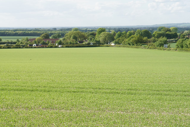
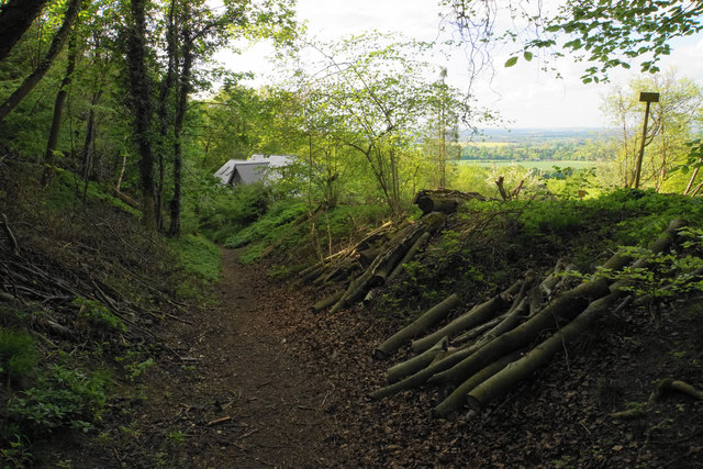
Bald Hill, located in Oxfordshire, is a prominent hill standing at an elevation of 206 meters (676 feet) above sea level. It is situated near the charming village of Baldon, just southeast of the city of Oxford. The hill is part of the Oxfordshire Downs and offers stunning panoramic views of the surrounding countryside.
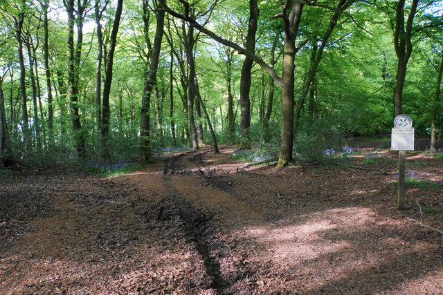
Bald Hill is characterized by its distinctive bare summit, which gives it its name. The hill is composed primarily of chalk, which has eroded over time, resulting in a smooth and exposed summit. The lack of vegetation on the top contributes to its unique appearance, making it easily recognizable from a distance.
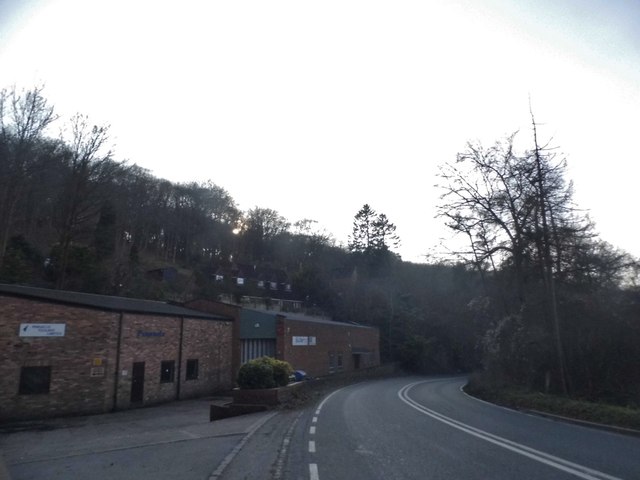
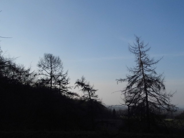
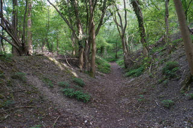
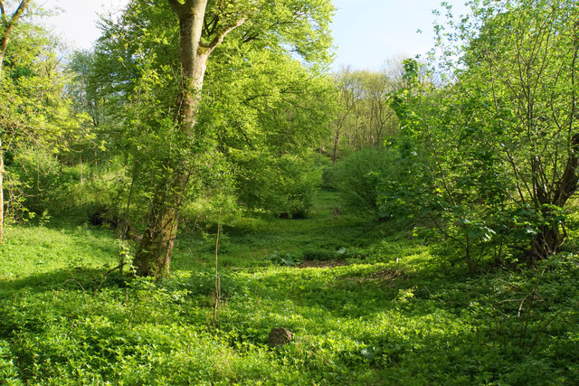
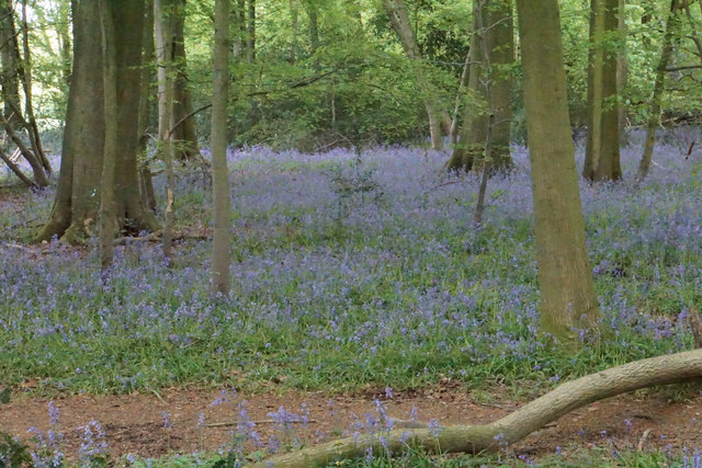
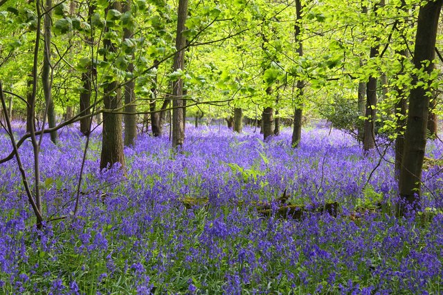
The hill is a popular destination for hikers and nature enthusiasts, offering several footpaths and trails that crisscross the surrounding area. These paths provide opportunities to explore the diverse flora and fauna that thrive in this region. The hill's location within the Oxfordshire Downs Area of Outstanding Natural Beauty ensures the preservation of its natural environment, making it a haven for wildlife.
Bald Hill also holds historical significance. It is believed to have been an important landmark during ancient times, serving as a vantage point for early settlements in the area. Today, visitors can still find remnants of Iron Age hillforts on the hill, adding to its historical appeal.
Overall, Bald Hill in Oxfordshire is a picturesque and historically rich destination, offering breathtaking views, diverse wildlife, and a glimpse into the area's ancient past.
If you have any feedback on the listing, please let us know in the comments section below.
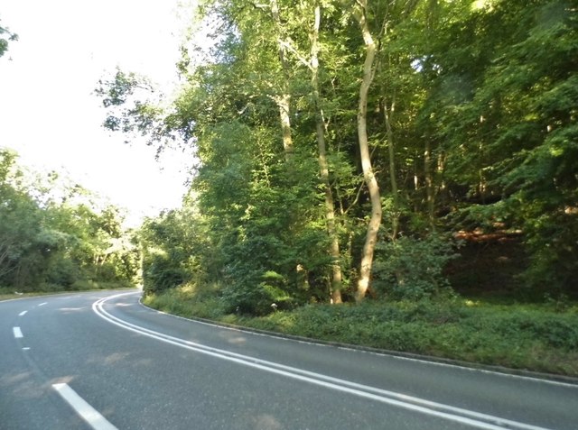
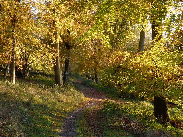
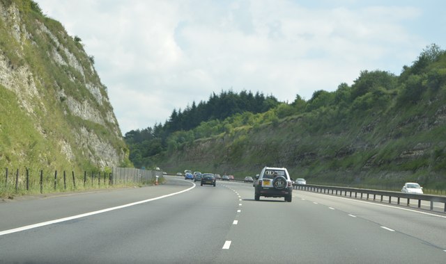
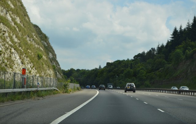
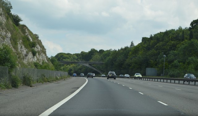
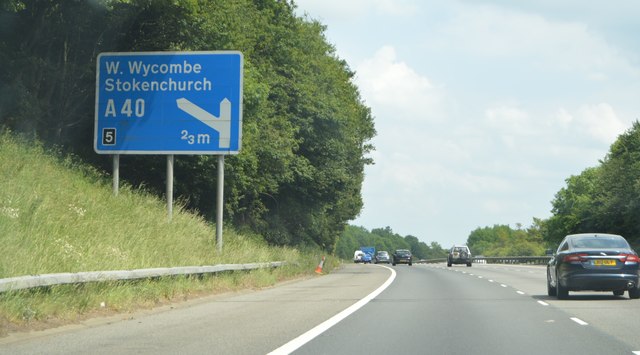
Bald Hill Images
Images are sourced within 2km of 51.656029/-0.94783344 or Grid Reference SU7295. Thanks to Geograph Open Source API. All images are credited.
Bald Hill is located at Grid Ref: SU7295 (Lat: 51.656029, Lng: -0.94783344)
Administrative County: Oxfordshire
District: South Oxfordshire
Police Authority: Thames Valley
What 3 Words
///clips.obstinate.torso. Near Stokenchurch, Buckinghamshire
Nearby Locations
Related Wikis
Cowleaze Wood
Cowleaze Wood is a 70-acre (28 ha) woodland in the Chiltern Hills, a chalk ridge in South East England. The wood is in the civil parish of Lewknor, in...

Aston Rowant Cutting
Aston Rowant Cutting is a 3.5-hectare (8.6-acre) geological Site of Special Scientific Interest south of Aston Rowant in Oxfordshire. It is a Geological...

Aston Rowant National Nature Reserve
Aston Rowant National Nature Reserve is located on the north-west escarpment of the Chiltern Hills, in the Chilterns Area of Outstanding Natural Beauty...

Shirburn Hill
Shirburn Hill is a 63.7-hectare (157-acre) biological Site of Special Scientific Interest just outside and to the northeast of Watlington, Oxfordshire...
Wormsley Park
Wormsley is a private estate of Mark Getty and his family, set in 2,700-acre (1,100 ha) of rolling countryside in the Chiltern Hills of Buckinghamshire...

Garsington Opera
Garsington Opera is an annual summer opera festival founded in 1989 by Leonard Ingrams. The Philharmonia Orchestra and The English Concert are its two...
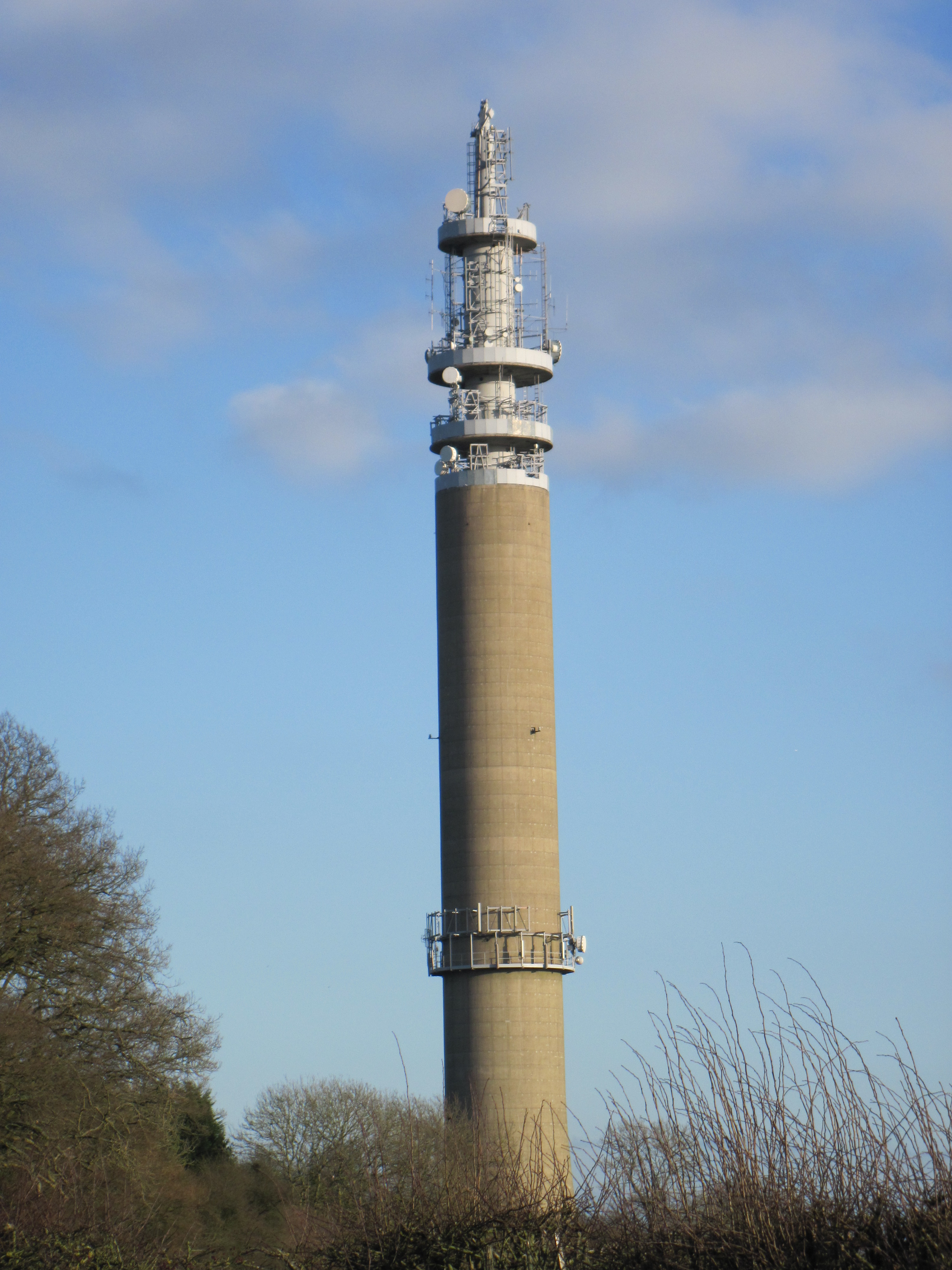
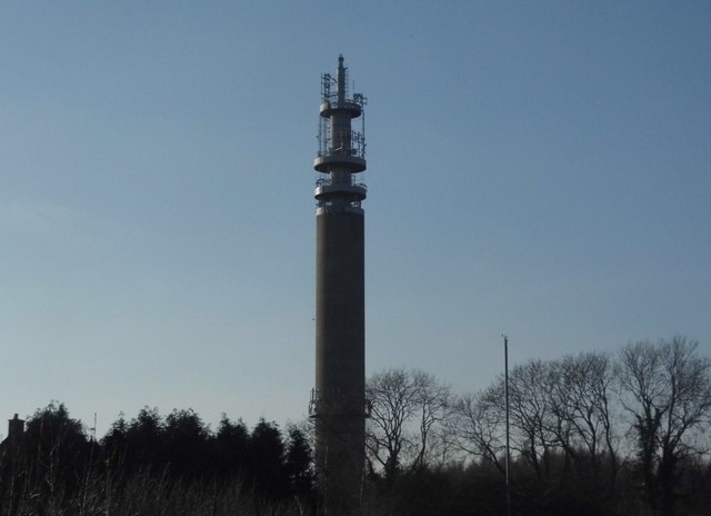
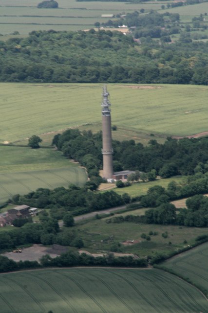
Stokenchurch BT Tower
Stokenchurch BT Tower is a telecommunications tower built of reinforced concrete at Stokenchurch, Buckinghamshire, England. Reaching to 340.5 metres (1...

Aston Rowant railway station
Aston Rowant railway station was opened in 1872 and was a part of the Watlington and Princes Risborough Railway. Having closed in 1961, there have been...
Nearby Amenities
Located within 500m of 51.656029,-0.94783344Have you been to Bald Hill?
Leave your review of Bald Hill below (or comments, questions and feedback).