Beacon Hill
Hill, Mountain in Oxfordshire South Oxfordshire
England
Beacon Hill
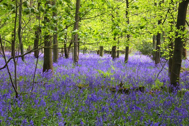
Beacon Hill is a prominent geographical feature located in Oxfordshire, England. Rising to an elevation of 261 meters (856 feet), it is classified as a hill or mountain depending on one's perspective. Situated near the village of Watlington, Beacon Hill offers breathtaking panoramic views of the surrounding countryside, making it a popular destination for outdoor enthusiasts and nature lovers.
The hill's name originates from the historical use of beacons, which were lit on its summit to warn of impending danger or to communicate important messages across long distances. This practice dates back centuries and was particularly prevalent during times of war. Today, the remnants of these beacons can still be seen at the top of the hill, adding to its historical significance.
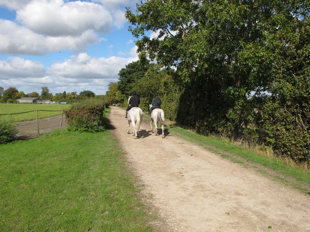
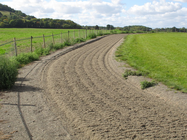
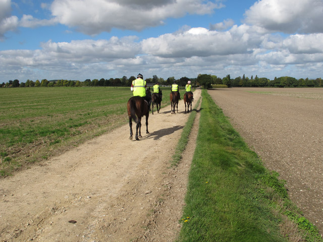
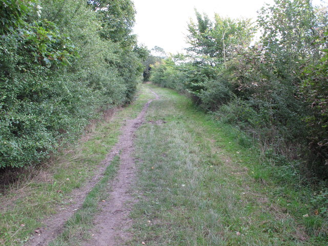
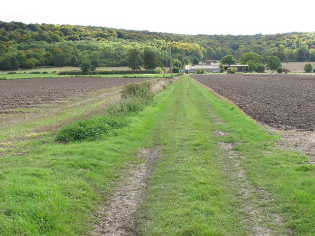
Access to Beacon Hill is relatively easy, with footpaths and trails leading up from the village of Watlington. The ascent is moderate, making it suitable for hikers of all skill levels. Once at the summit, visitors are rewarded with stunning vistas of the Oxfordshire countryside, including rolling hills, picturesque farmland, and charming villages.
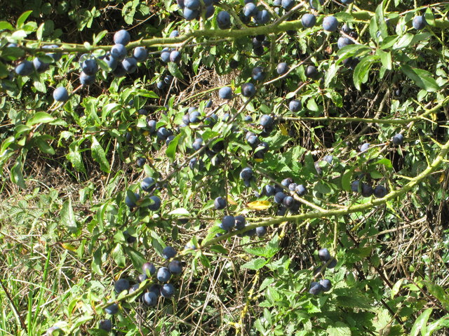
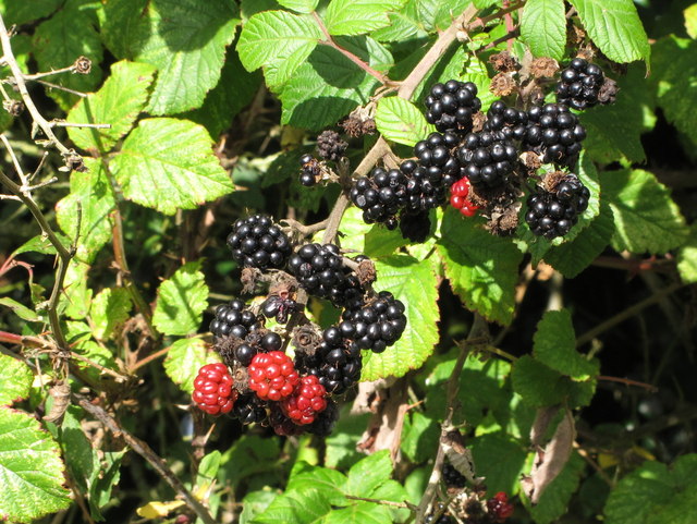
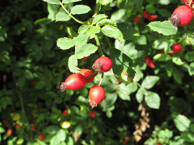
In addition to its natural beauty, Beacon Hill is also home to a rich variety of flora and fauna. The hill's diverse ecosystem supports numerous species of plants and animals, making it an important ecological site within the region. It is not uncommon to encounter wildlife such as rabbits, foxes, and various bird species during a hike.
Overall, Beacon Hill in Oxfordshire offers a captivating blend of natural beauty, historical significance, and recreational opportunities. Whether one seeks a peaceful walk in nature or a chance to learn about the area's past, this hill is a must-visit destination for locals and tourists alike.
If you have any feedback on the listing, please let us know in the comments section below.
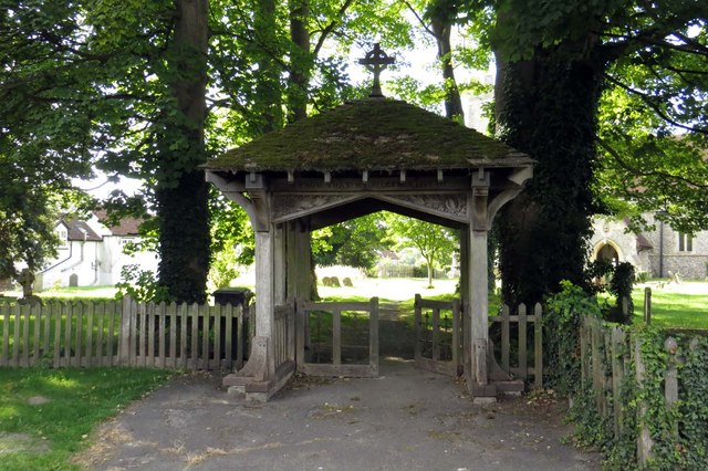
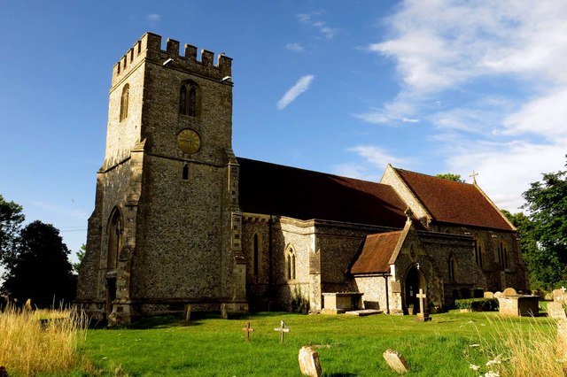
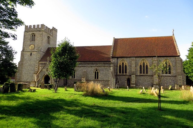
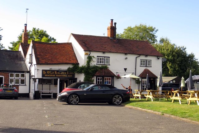
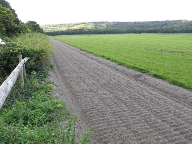
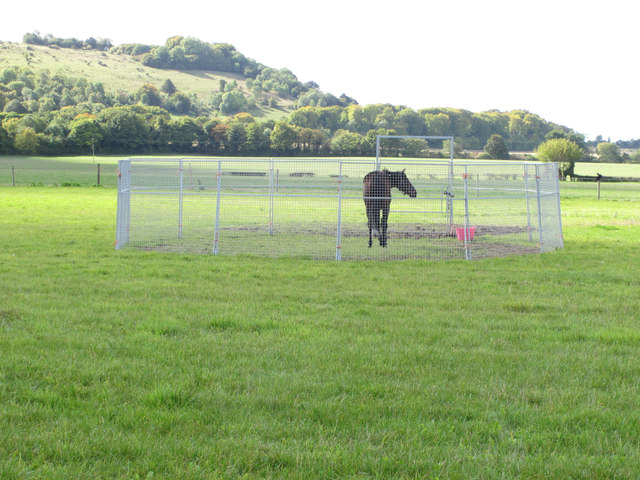
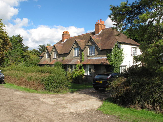
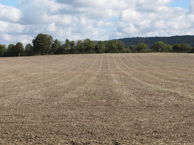
Beacon Hill Images
Images are sourced within 2km of 51.667278/-0.94781875 or Grid Reference SU7297. Thanks to Geograph Open Source API. All images are credited.


Beacon Hill is located at Grid Ref: SU7297 (Lat: 51.667278, Lng: -0.94781875)
Administrative County: Oxfordshire
District: South Oxfordshire
Police Authority: Thames Valley
What 3 Words
///painter.observers.proposals. Near Stokenchurch, Buckinghamshire
Nearby Locations
Related Wikis

Aston Rowant National Nature Reserve
Aston Rowant National Nature Reserve is located on the north-west escarpment of the Chiltern Hills, in the Chilterns Area of Outstanding Natural Beauty...

Aston Rowant railway station
Aston Rowant railway station was opened in 1872 and was a part of the Watlington and Princes Risborough Railway. Having closed in 1961, there have been...

Aston Rowant Cutting
Aston Rowant Cutting is a 3.5-hectare (8.6-acre) geological Site of Special Scientific Interest south of Aston Rowant in Oxfordshire. It is a Geological...

Lewknor Bridge Halt railway station
Lewknor Bridge Halt railway station was a halt on the Watlington and Princes Risborough Railway which the Great Western Railway opened in 1906 to serve...
Cowleaze Wood
Cowleaze Wood is a 70-acre (28 ha) woodland in the Chiltern Hills, a chalk ridge in South East England. The wood is in the civil parish of Lewknor, in...

Lewknor
Lewknor is a village and civil parish about 5 miles (8 km) south of Thame in Oxfordshire.The civil parish includes the villages of Postcombe and South...
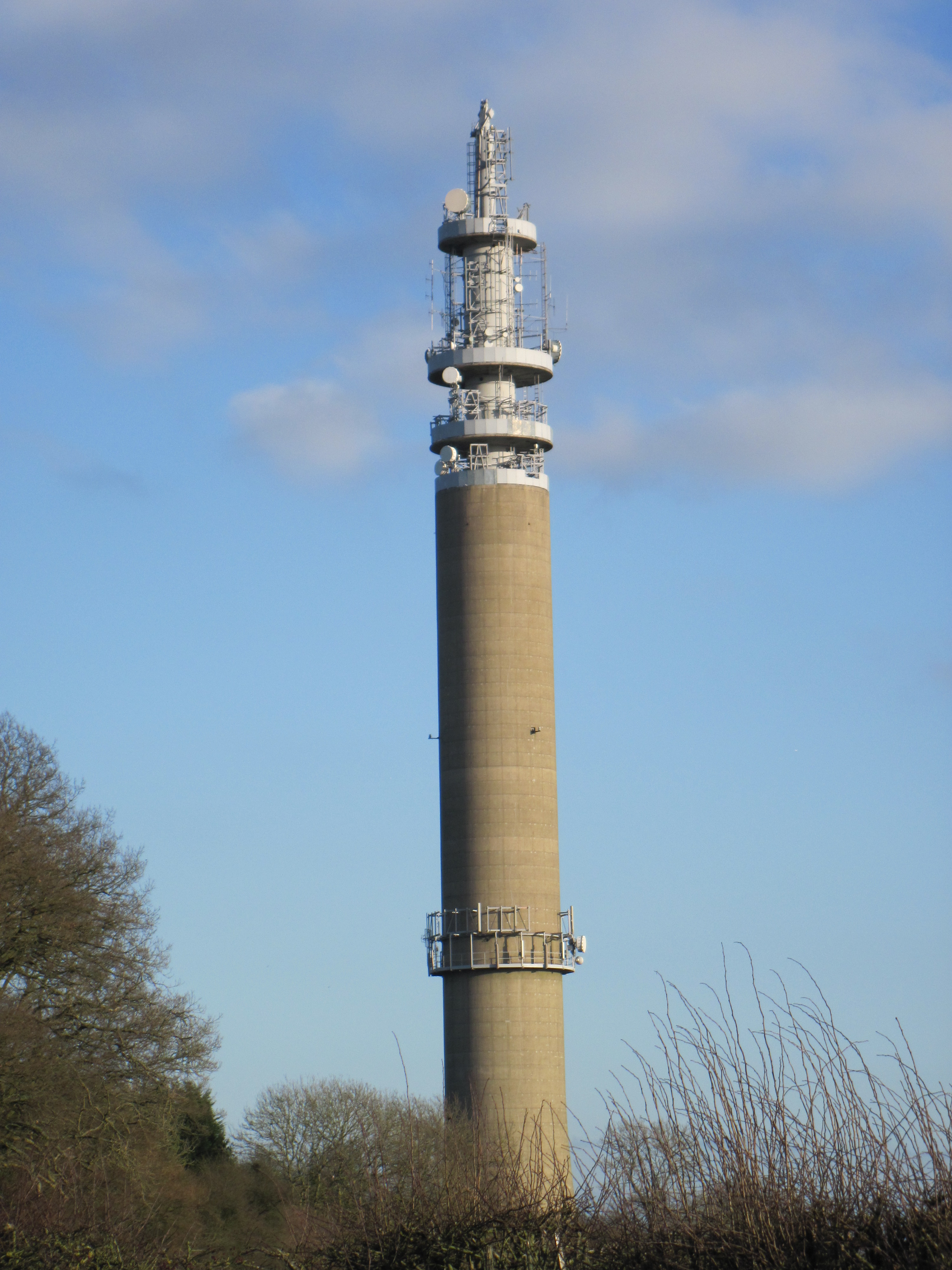
Stokenchurch BT Tower
Stokenchurch BT Tower is a telecommunications tower built of reinforced concrete at Stokenchurch, Buckinghamshire, England. Reaching to 340.5 metres (1...

London Parachute School
The London Parachute School is a BPA affiliated parachuting centre and skydiving drop zone at Chiltern Park Aerodrome at Ipsden, near Wallingford, Oxfordshire...
Nearby Amenities
Located within 500m of 51.667278,-0.94781875Have you been to Beacon Hill?
Leave your review of Beacon Hill below (or comments, questions and feedback).