Windmill Hill

Hill, Mountain in Oxfordshire South Oxfordshire

England

Windmill Hill

A4130 at Port Hill
A4130 at Port Hill Credit: Colin Pyle

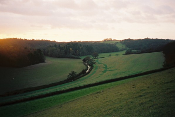
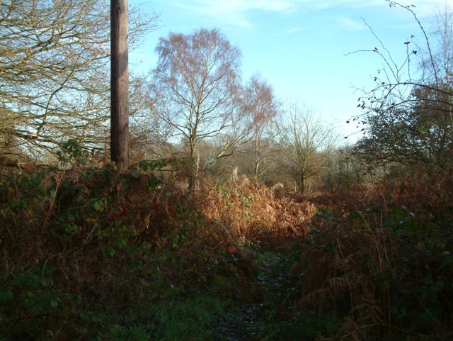
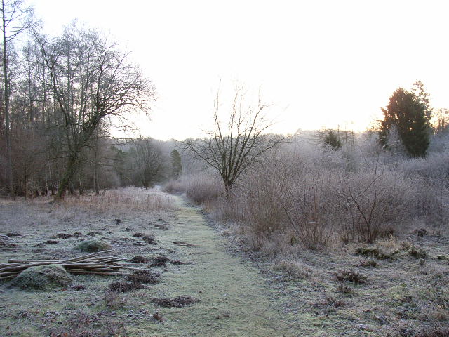
Windmill Hill is a prominent landmark located in Oxfordshire, England. Situated near the village of Wittenham, it is an ancient hill that rises to a height of approximately 73 meters (240 feet) above sea level. The hill is part of the North Wessex Downs Area of Outstanding Natural Beauty, offering breathtaking panoramic views of the surrounding countryside.

The name Windmill Hill derives from the presence of a windmill that once stood on its summit. Although the windmill no longer exists, its former location is marked by a circular earthwork that can still be seen today. This earthwork is believed to date back to the Iron Age, making it an important archaeological site.

Windmill Hill is renowned for its rich history and archaeological significance. Excavations on the hill have revealed evidence of human activity dating back over 3,000 years. Numerous artifacts, including pottery and tools, have been discovered, shedding light on the lives of the people who once inhabited the area.

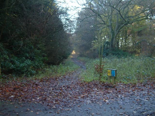
Today, Windmill Hill is a popular destination for hikers, nature enthusiasts, and history buffs. It is a designated Site of Special Scientific Interest (SSSI) due to its diverse flora and fauna, including rare orchids and butterflies. The hill offers several walking trails, allowing visitors to explore its ancient past and enjoy the breathtaking views of the Oxfordshire countryside.

Overall, Windmill Hill in Oxfordshire is a captivating and historically significant landmark that offers both natural beauty and cultural heritage to its visitors.

If you have any feedback on the listing, please let us know in the comments section below.

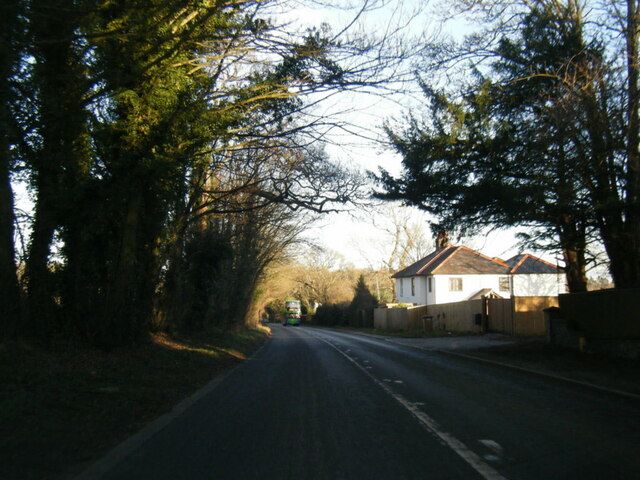
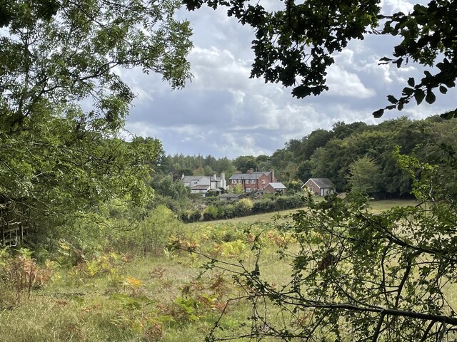
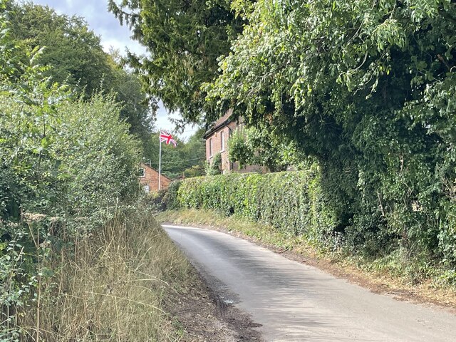
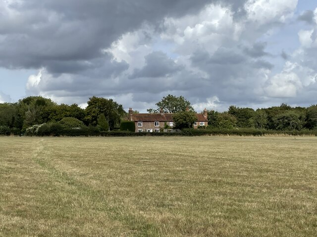
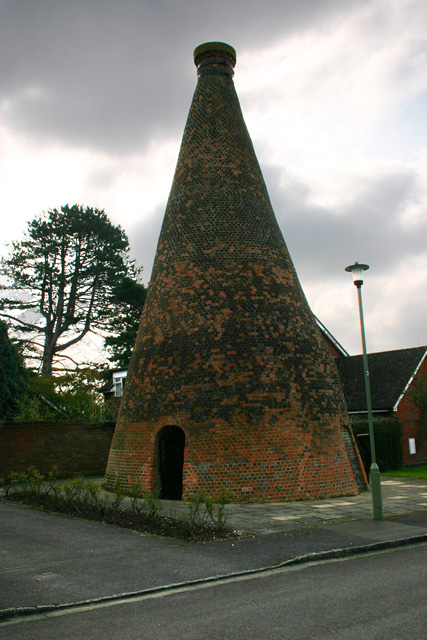
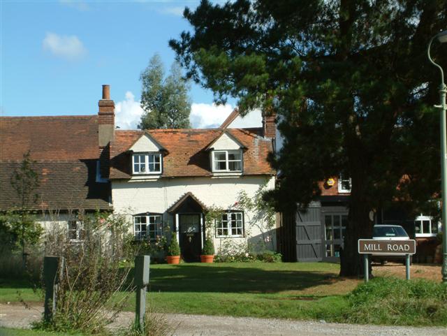
Windmill Hill Images

Images are sourced within 2km of 51.579545/-0.987556 or Grid Reference SU7087. Thanks to Geograph Open Source API. All images are credited.

A4130 at Port Hill
A4130 at Port Hill
Cottages on the edge of Nettlebed Common This group of cottages sit facing the northern edge of Nettlebed Common but within the parish of Swyncombe.
Cottages on the edge of Nettlebed Common
This group of cottages sit facing the northern edge of Nettlebed Common but within the parish of Swyncombe.
Digberry Farm, Huntercombe Lane The farm sits within a large square earthwork of unknown age measuring 200 metres across.
Digberry Farm, Huntercombe Lane
The farm sits within a large square earthwork of unknown age measuring 200 metres across.
Cottages at Park Corner Looking north along the footpath from Huntercombe End.
Cottages at Park Corner
Looking north along the footpath from Huntercombe End.
Nettlebed Kiln Centre of a mediaeval brick-making industry, this kiln is the last remaining vestige of the village's greatness.
Nettlebed Kiln
Centre of a mediaeval brick-making industry, this kiln is the last remaining vestige of the village's greatness.
Highmoor Woods Highmoor Woods on the B481 road from Reading to Nettlebed.
Highmoor Woods
Highmoor Woods on the B481 road from Reading to Nettlebed.
Cottages in Mill Road Cottages in Mill Road, the road to Windmill Hill.
Cottages in Mill Road
Cottages in Mill Road, the road to Windmill Hill.
Bix Bottom A dry Chiltern valley.
Bix Bottom
A dry Chiltern valley.
The Footpath through Wellgrove Wood
A local track to the Common
The Five Horseshoes Public House
The Warburg Nature Reserve A BBOWT reserve comprising woodland, chalk grassland and scrub <span class="nowrap"><a title="http://www.bbowt.org.uk/" rel="nofollow ugc noopener" href="http://www.bbowt.org.uk/">Link</a><img style="margin-left:2px;" alt="External link" title="External link - shift click to open in new window" src="https://s1.geograph.org.uk/img/external.png" width="10" height="10"/></span>
The Warburg Nature Reserve
A BBOWT reserve comprising woodland, chalk grassland and scrub LinkExternal link
Westwood Manor Farm near Nettlebed
Soundess Farm near Nettlebed
In the valley below Maidensgrove
Looking south from near Westwood Manor Farm
Looking out of Kitesgrove Wood
Near Soundess Farm
Near Soundess Farm
Show me another place!

Windmill Hill is located at Grid Ref: SU7087 (Lat: 51.579545, Lng: -0.987556)

Administrative County: Oxfordshire

District: South Oxfordshire

Police Authority: Thames Valley

What 3 Words

///nuptials.challenge.arranged. Near Rotherfield Peppard, Oxfordshire

Related Wikis

Nettlebed

Nettlebed is a village and civil parish in Oxfordshire in the Chiltern Hills about 4+1⁄2 miles (7 km) northwest of Henley-on-Thames and 6 miles (10 km...

Crocker End House

Crocker End House in Nettlebed in Henley-on-Thames, Oxfordshire, England is a spacious Victorian home built to replace Nettlebed's prosperous rectory in...

Berrick Trench

Berrick Trench is a 2.1-hectare (5.2-acre) biological Site of Special Scientific Interest north of Nettlebed in Oxfordshire.This is an ancient semi-natural...

Bix Bottom

Bix Bottom is a 102.3-hectare (253-acre) biological Site of Special Scientific Interest north-west of Henley-on-Thames in Oxfordshire. It is owned and...

Maidensgrove

Maidensgrove is a hamlet above the Stonor valley in the Chiltern Hills, adjacent to Russell's Water common. It is about 5 miles (8.0 km) northwest of...

HM Prison Huntercombe

HM Prison Huntercombe is a Category C men's prison, located near Nuffield in Oxfordshire, England. It is operated by His Majesty's Prison Service. ��2...

Nuffield Place

Nuffield Place is a country house near the village of Nuffield in the Chiltern Hills in South Oxfordshire, England, just over 4 miles (6 km) east of Wallingford...

Henley Rural District

Henley was a rural district in Oxfordshire, England from 1894 to 1974.It was named after the borough of Henley-on-Thames, which it surrounded on the west...

Nearby Amenities

Located within 500m of 51.579545,-0.987556
Nettlebed
Created By: osmeditor2
Place: village
Lat/Long: 51.5766618/-0.9907058
Bus Stop
The Green
Bench: yes
Bus: yes
Naptan AtcoCode: 340000564COM
Naptan Bearing: E
Naptan CommonName: The Green
Naptan Indicator: Watlington Street Corner
Naptan Landmark: Bus Shelters
Naptan NaptanCode: oxfapmap
Naptan Street: High Street
Naptan Verified: no
Public Transport: platform
Shelter: yes
Source: naptan_import;survey
Lat/Long: 51.5753708/-0.9882313
Bus Stop
The Green
Bus: yes
Naptan AtcoCode: 340000564K
Naptan Bearing: W
Naptan CommonName: The Green
Naptan Indicator: Opposite Watlington Street
Naptan Landmark: Bus Shelters
Naptan NaptanCode: oxfapmam
Naptan Street: High Street
Naptan Verified: no
Public Transport: platform
Shelter: yes
Source: naptan_import
Lat/Long: 51.5752844/-0.9882987
Priest Close
Naptan AtcoCode: 340003297CNR
Naptan Bearing: NW
Naptan BusStopType: CUS
Naptan CommonName: Priest Close
Naptan Indicator: Corner
Naptan Landmark: Priest Close
Naptan NaptanCode: oxfgjwtp
Naptan Street: Watlington Street
Naptan Verified: no
Source: naptan_import
Lat/Long: 51.5808722/-0.9932616
Priest Close
Naptan AtcoCode: 340003297OPP
Naptan Bearing: SE
Naptan BusStopType: CUS
Naptan CommonName: Priest Close
Naptan Indicator: Opposite
Naptan Landmark: Priest Close
Naptan NaptanCode: oxfgjwtm
Naptan Street: Watlington Street
Naptan Verified: no
Source: naptan_import
Lat/Long: 51.5809613/-0.993173
Turning Circle
Turning Circle: hammer
Lat/Long: 51.5796455/-0.9945944
Turning Circle
Turning Circle: hammer
Lat/Long: 51.5779614/-0.9918924
Maxspeed: 30 mph
Traffic Sign: maxspeed
Lat/Long: 51.5816249/-0.9938214
Old Brick Kiln
Historic: ruins
Wikidata: Q17549280
Lat/Long: 51.5759964/-0.9889324
Shelter
Backrest: yes
Bench: yes
Covered: yes
Lat/Long: 51.5756568/-0.9887521
Traffic Calming: cushion
Lat/Long: 51.5768986/-0.9896334
Traffic Calming: cushion
Lat/Long: 51.5773006/-0.9903289
Traffic Calming: cushion
Lat/Long: 51.5778211/-0.9910517
Traffic Calming: cushion
Lat/Long: 51.5784304/-0.9918349
Traffic Calming: cushion
Lat/Long: 51.5800222/-0.9923248
Traffic Calming: cushion
Lat/Long: 51.5790787/-0.9922892
Leisure: pitch
Lit: no
Sport: soccer
Lat/Long: 51.5792573/-0.989988
Leisure: pitch
Lit: no
Sport: cricket
Surface: grass
Lat/Long: 51.5785692/-0.9899552
Turning Circle
Turning Circle: knuckle
Lat/Long: 51.5762603/-0.9889279
Turning Circle
Turning Circle: knuckle
Lat/Long: 51.576536/-0.9907987
Direction: 175
Generator Method: photovoltaic
Generator Output Electricity: yes
Generator Solar Modules: 16
Generator Source: solar
Generator Type: solar_photovoltaic_panel
Location: roof
Power: generator
Lat/Long: 51.5761372/-0.992251
Direction: 200
Generator Method: photovoltaic
Generator Output Electricity: yes
Generator Solar Modules: 18
Generator Source: solar
Generator Type: solar_photovoltaic_panel
Location: roof
Power: generator
Lat/Long: 51.5775937/-0.9924239
Direction: 190
Generator Method: photovoltaic
Generator Output Electricity: yes
Generator Solar Modules: 6
Generator Source: solar
Generator Type: solar_photovoltaic_panel
Location: roof
Power: generator
Lat/Long: 51.5775812/-0.9918129
Direction: 200
Generator Method: photovoltaic
Generator Output Electricity: yes
Generator Solar Modules: 16
Generator Source: solar
Generator Type: solar_photovoltaic_panel
Location: roof
Power: generator
Lat/Long: 51.577966/-0.9921777
Direction: 180
Generator Method: photovoltaic
Generator Output Electricity: yes
Generator Solar Modules: 16
Generator Source: solar
Generator Type: solar_photovoltaic_panel
Location: roof
Power: generator
Lat/Long: 51.5794174/-0.9926495
Direction: 270
Generator Method: photovoltaic
Generator Output Electricity: yes
Generator Solar Modules: 16
Generator Source: solar
Generator Type: solar_photovoltaic_panel
Location: roof
Power: generator
Lat/Long: 51.5794861/-0.992673
Direction: 135
Generator Method: photovoltaic
Generator Output Electricity: yes
Generator Solar Modules: 16
Generator Source: solar
Generator Type: solar_photovoltaic_panel
Location: roof
Power: generator
Lat/Long: 51.579706/-0.992726
Direction: 125
Generator Method: photovoltaic
Generator Output Electricity: yes
Generator Solar Modules: 16
Generator Source: solar
Generator Type: solar_photovoltaic_panel
Location: roof
Power: generator
Lat/Long: 51.5797939/-0.9947128
Fixme: solar panels?
Lat/Long: 51.5805003/-0.9940986
The data included in this document is from www.openstreetmap.org. The data is made available under ODbL.

Have you been to Windmill Hill?

Leave your review of Windmill Hill below (or comments, questions and feedback).