Stockings Plantation
Wood, Forest in Oxfordshire South Oxfordshire
England
Stockings Plantation
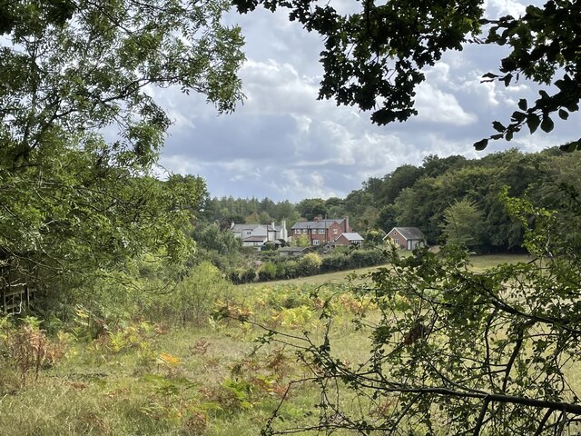
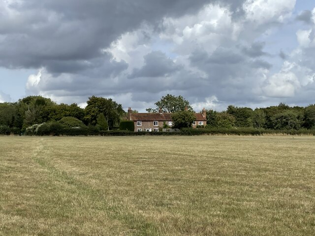
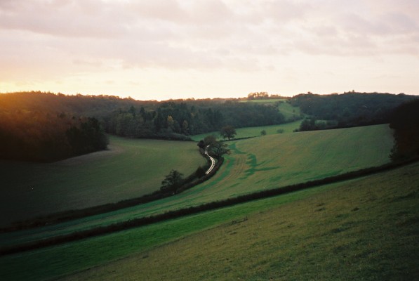
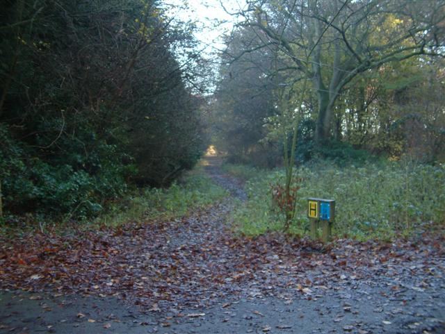
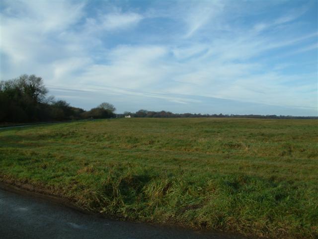
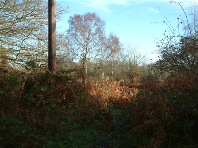
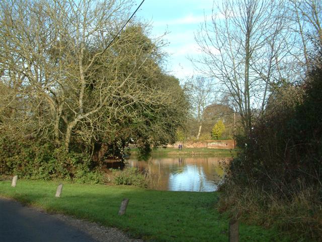
Stockings Plantation is a charming woodland located in Oxfordshire, England. Situated in the heart of the county, this beautiful plantation covers an area of approximately 100 acres. It is known for its dense collection of trees, creating a serene and tranquil environment for visitors to explore.
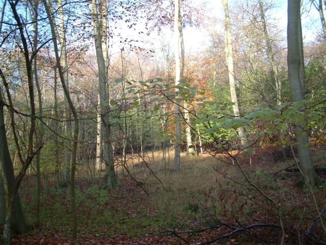
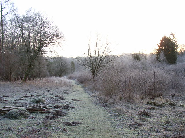
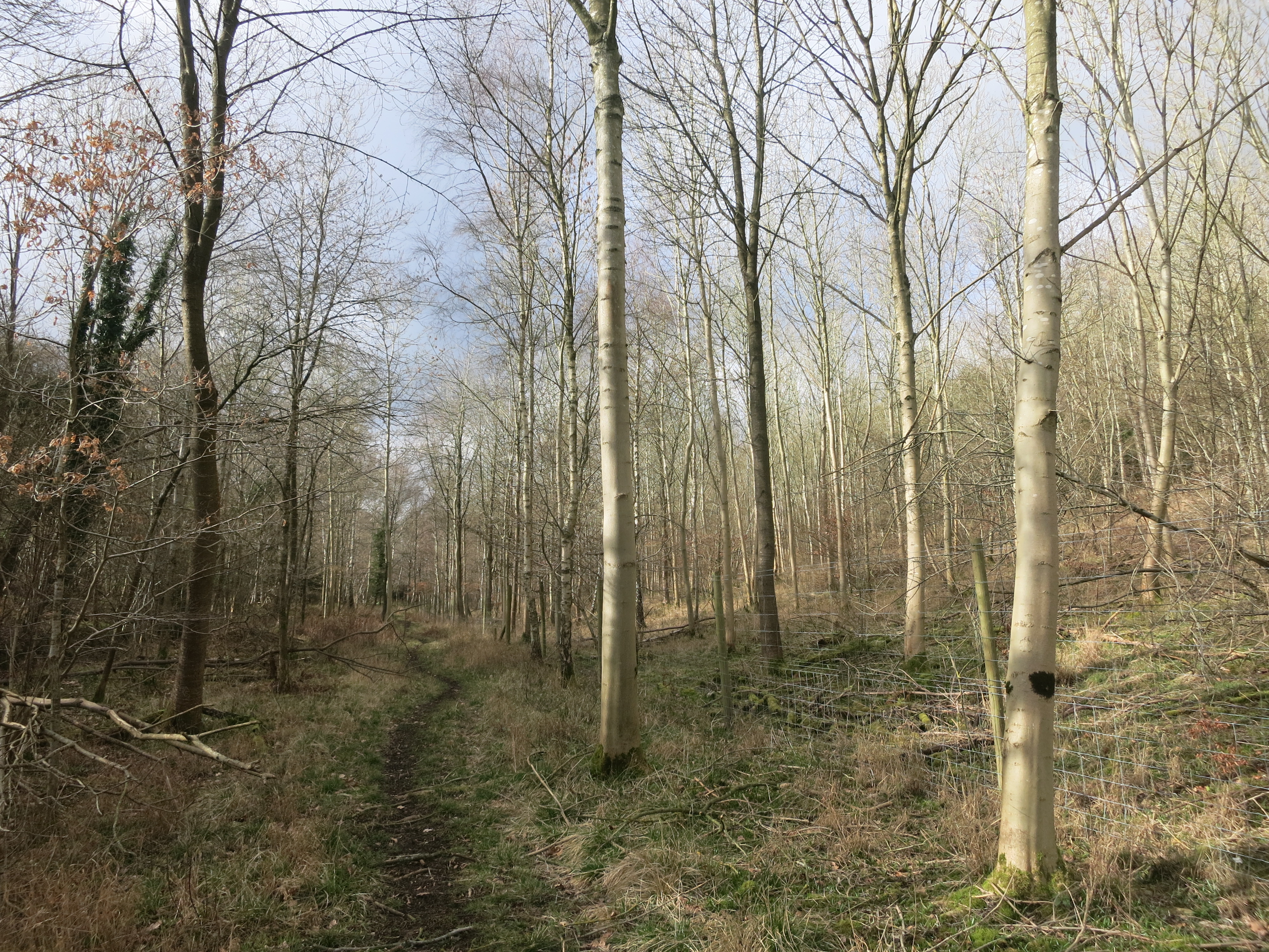
The woodland is predominantly made up of deciduous trees, including oak, beech, and birch, which provide a stunning display of colors during the autumn months. Additionally, there are pockets of coniferous trees scattered throughout, adding to the diversity and richness of the plantation.
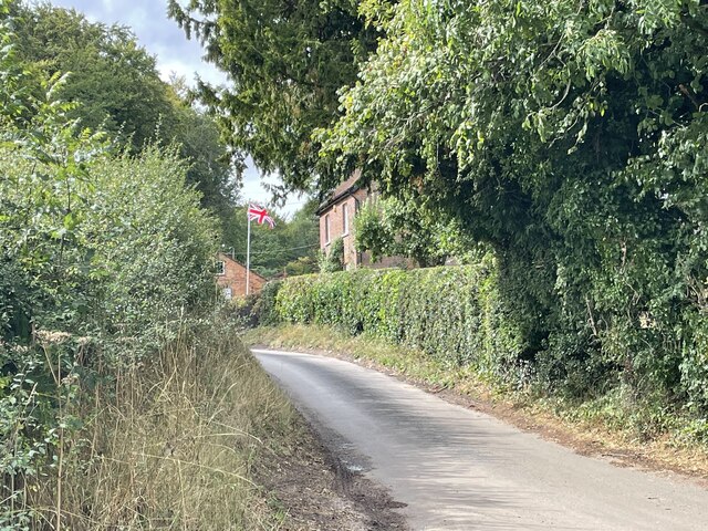
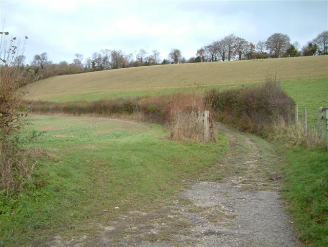
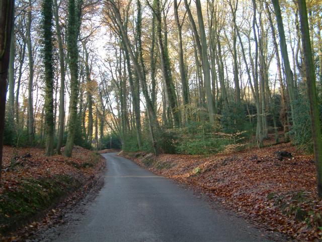
Stockings Plantation offers a variety of walking trails that wind through the forest, allowing visitors to immerse themselves in the natural beauty. The paths are well-maintained and suitable for all ages and fitness levels. Along the way, one can encounter an array of wildlife, including squirrels, deer, and a variety of bird species.
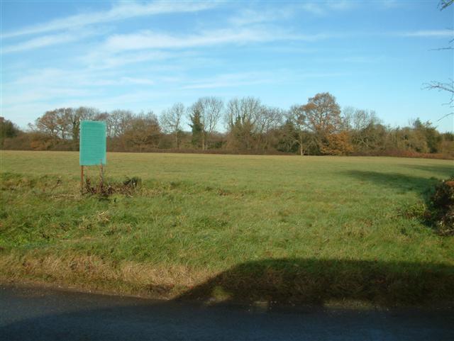
The plantation also features picnic areas and benches, perfect for those looking to relax and enjoy a peaceful lunch amidst nature. Moreover, the plantation is popular among photographers and nature enthusiasts, as it offers countless opportunities to capture the stunning landscapes and unique flora and fauna.
Stockings Plantation is open to the public throughout the year, offering a different experience with each season. Whether it be a leisurely stroll, a family outing, or a photography expedition, this woodland is a delightful destination for nature lovers and those seeking a break from the hustle and bustle of everyday life.
If you have any feedback on the listing, please let us know in the comments section below.
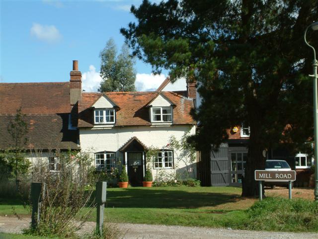
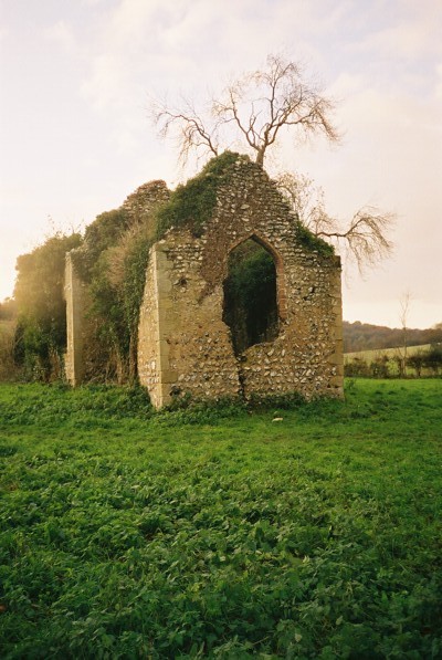
Stockings Plantation Images
Images are sourced within 2km of 51.584567/-0.9766771 or Grid Reference SU7087. Thanks to Geograph Open Source API. All images are credited.
Stockings Plantation is located at Grid Ref: SU7087 (Lat: 51.584567, Lng: -0.9766771)
Administrative County: Oxfordshire
District: South Oxfordshire
Police Authority: Thames Valley
What 3 Words
///splashes.contacts.euphoric. Near Rotherfield Peppard, Oxfordshire
Related Wikis

Bix Bottom
Bix Bottom is a 102.3-hectare (253-acre) biological Site of Special Scientific Interest north-west of Henley-on-Thames in Oxfordshire. It is owned and...

Berrick Trench
Berrick Trench is a 2.1-hectare (5.2-acre) biological Site of Special Scientific Interest north of Nettlebed in Oxfordshire.This is an ancient semi-natural...

Crocker End House
Crocker End House in Nettlebed in Henley-on-Thames, Oxfordshire, England is a spacious Victorian home built to replace Nettlebed's prosperous rectory in...

Nettlebed
Nettlebed is a village and civil parish in Oxfordshire in the Chiltern Hills about 4+1⁄2 miles (7 km) northwest of Henley-on-Thames and 6 miles (10 km...

Maidensgrove
Maidensgrove is a hamlet above the Stonor valley in the Chiltern Hills, adjacent to Russell's Water common. It is about 5 miles (8.0 km) northwest of...

Russell's Water
Russell's Water is a hamlet about 6 miles (9.7 km) north of Henley-on-Thames in South Oxfordshire. It is in the Chiltern Hills about 620 feet (190 m)...
Pishill
Pishill is a village and former civil parish, now in the parish of Pishill with Stonor, in the South Oxfordshire district, in the county of Oxfordshire...
Pishill Woods
Pishill Woods is a 42.8-hectare (106-acre) biological Site of Special Scientific Interest north of Nettlebed in Oxfordshire.These semi-natural woods have...
Nearby Amenities
Located within 500m of 51.584567,-0.9766771Have you been to Stockings Plantation?
Leave your review of Stockings Plantation below (or comments, questions and feedback).