Nettlebed Common Wood

Wood, Forest in Oxfordshire South Oxfordshire

England

Nettlebed Common Wood

A4130 at Port Hill
A4130 at Port Hill Credit: Colin Pyle

Nettlebed Common Wood is a picturesque woodland located in Oxfordshire, England. Covering an area of approximately 50 acres, it forms part of the larger Nettlebed Common, a site of Special Scientific Interest (SSSI). The woodland is situated between the villages of Nettlebed and Highmoor and is easily accessible by foot or bicycle.

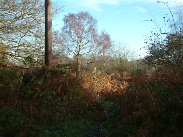
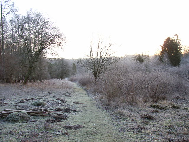
The wood is predominantly composed of native broadleaf trees, including oak, beech, and ash, which create a dense canopy overhead. This creates a cool and tranquil environment, perfect for nature enthusiasts and those seeking a peaceful retreat.

Nettlebed Common Wood is home to a diverse range of flora and fauna. The forest floor is adorned with a rich carpet of bluebells in the spring, creating a stunning display of color. The wood is also home to a variety of bird species, including woodpeckers, tits, and finches, which can be spotted flitting between the trees.

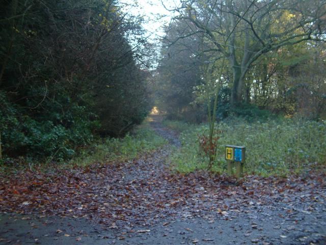
The woodland offers various walking trails, allowing visitors to explore its natural beauty at their own pace. These trails wind through the ancient wood, passing moss-covered fallen logs and babbling brooks, creating a sense of enchantment and serenity.

Nettlebed Common Wood is managed by the National Trust, ensuring its conservation and protection for future generations to enjoy. The wood offers a peaceful escape from the hustle and bustle of everyday life, providing visitors with the opportunity to connect with nature and immerse themselves in the beauty of Oxfordshire's countryside.

If you have any feedback on the listing, please let us know in the comments section below.

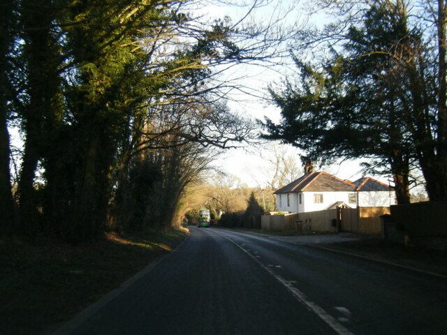
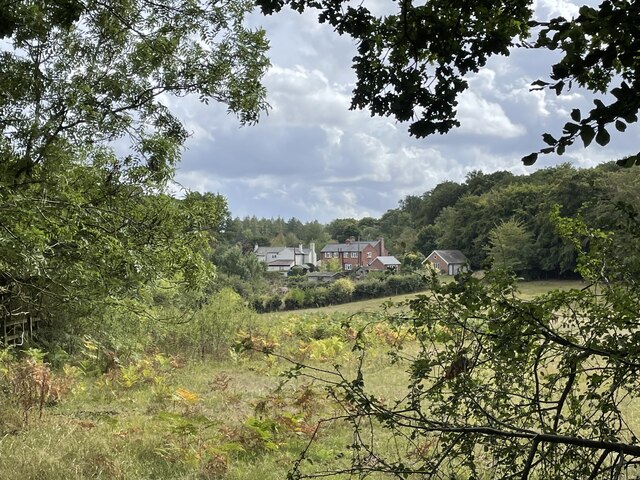
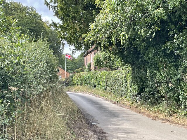
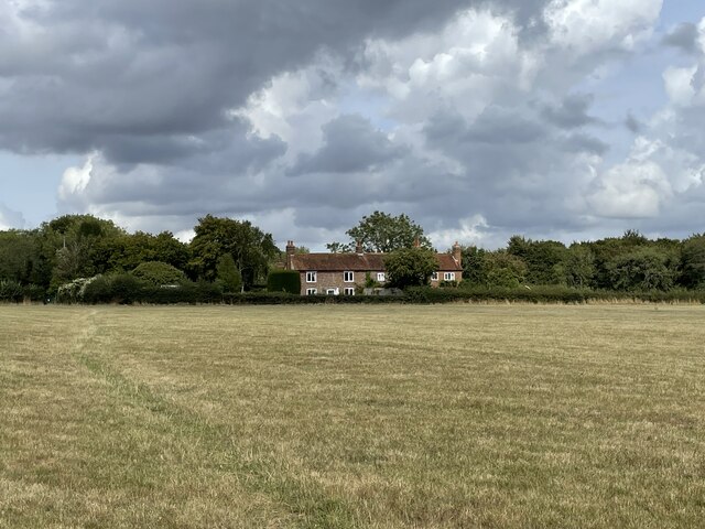
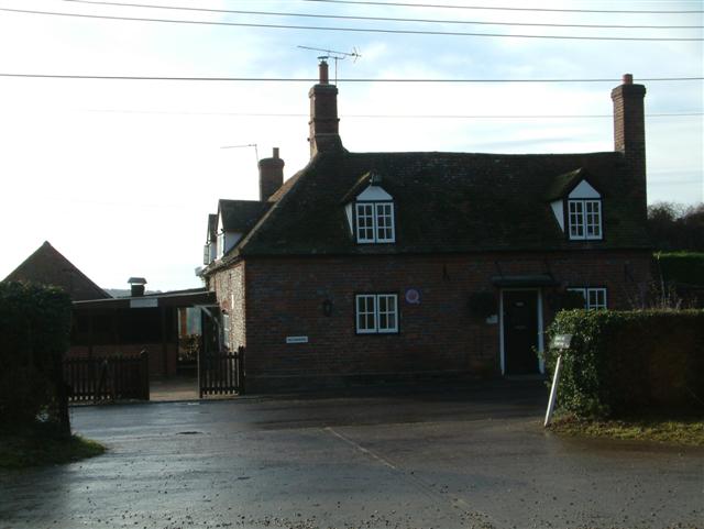
Nettlebed Common Wood Images

Images are sourced within 2km of 51.581825/-0.98920838 or Grid Reference SU7087. Thanks to Geograph Open Source API. All images are credited.

A4130 at Port Hill
A4130 at Port Hill
Cottages on the edge of Nettlebed Common This group of cottages sit facing the northern edge of Nettlebed Common but within the parish of Swyncombe.
Cottages on the edge of Nettlebed Common
This group of cottages sit facing the northern edge of Nettlebed Common but within the parish of Swyncombe.
Digberry Farm, Huntercombe Lane The farm sits within a large square earthwork of unknown age measuring 200 metres across.
Digberry Farm, Huntercombe Lane
The farm sits within a large square earthwork of unknown age measuring 200 metres across.
Cottages at Park Corner Looking north along the footpath from Huntercombe End.
Cottages at Park Corner
Looking north along the footpath from Huntercombe End.
Nettlebed Kiln Centre of a mediaeval brick-making industry, this kiln is the last remaining vestige of the village's greatness.
Nettlebed Kiln
Centre of a mediaeval brick-making industry, this kiln is the last remaining vestige of the village's greatness.
Highmoor Woods Highmoor Woods on the B481 road from Reading to Nettlebed.
Highmoor Woods
Highmoor Woods on the B481 road from Reading to Nettlebed.
Cottages in Mill Road Cottages in Mill Road, the road to Windmill Hill.
Cottages in Mill Road
Cottages in Mill Road, the road to Windmill Hill.
The Footpath through Wellgrove Wood
A local track to the Common
The Five Horseshoes Public House
The Warburg Nature Reserve A BBOWT reserve comprising woodland, chalk grassland and scrub <span class="nowrap"><a title="http://www.bbowt.org.uk/" rel="nofollow ugc noopener" href="http://www.bbowt.org.uk/">Link</a><img style="margin-left:2px;" alt="External link" title="External link - shift click to open in new window" src="https://s1.geograph.org.uk/img/external.png" width="10" height="10"/></span>
The Warburg Nature Reserve
A BBOWT reserve comprising woodland, chalk grassland and scrub LinkExternal link
Westwood Manor Farm near Nettlebed
Soundess Farm near Nettlebed
In the valley below Maidensgrove
Looking south from near Westwood Manor Farm
Looking out of Kitesgrove Wood
Near Soundess Farm
Near Soundess Farm
The edge of Soundess Wood
Show me another place!

Nettlebed Common Wood is located at Grid Ref: SU7087 (Lat: 51.581825, Lng: -0.98920838)

Administrative County: Oxfordshire

District: South Oxfordshire

Police Authority: Thames Valley

What 3 Words

///countries.blown.split. Near Rotherfield Peppard, Oxfordshire

Related Wikis

Nearby Amenities

Located within 500m of 51.581825,-0.98920838
Priest Close
Naptan AtcoCode: 340003297CNR
Naptan Bearing: NW
Naptan BusStopType: CUS
Naptan CommonName: Priest Close
Naptan Indicator: Corner
Naptan Landmark: Priest Close
Naptan NaptanCode: oxfgjwtp
Naptan Street: Watlington Street
Naptan Verified: no
Source: naptan_import
Lat/Long: 51.5808722/-0.9932616
Priest Close
Naptan AtcoCode: 340003297OPP
Naptan Bearing: SE
Naptan BusStopType: CUS
Naptan CommonName: Priest Close
Naptan Indicator: Opposite
Naptan Landmark: Priest Close
Naptan NaptanCode: oxfgjwtm
Naptan Street: Watlington Street
Naptan Verified: no
Source: naptan_import
Lat/Long: 51.5809613/-0.993173
Turning Circle
Turning Circle: hammer
Lat/Long: 51.5796455/-0.9945944
Turning Circle
Turning Circle: hammer
Lat/Long: 51.5779614/-0.9918924
Maxspeed: 30 mph
Traffic Sign: maxspeed
Lat/Long: 51.5816249/-0.9938214
Barrier: kissing_gate
Foot: yes
Lat/Long: 51.5851942/-0.9920831
Barrier: kissing_gate
Foot: yes
Lat/Long: 51.5840373/-0.9860156
Traffic Calming: cushion
Lat/Long: 51.5778211/-0.9910517
Traffic Calming: cushion
Lat/Long: 51.5784304/-0.9918349
Traffic Calming: cushion
Lat/Long: 51.5800222/-0.9923248
Traffic Calming: cushion
Lat/Long: 51.5790787/-0.9922892
Leisure: pitch
Lit: no
Sport: soccer
Lat/Long: 51.5792573/-0.989988
Leisure: pitch
Lit: no
Sport: cricket
Surface: grass
Lat/Long: 51.5785692/-0.9899552
Direction: 200
Generator Method: photovoltaic
Generator Output Electricity: yes
Generator Solar Modules: 16
Generator Source: solar
Generator Type: solar_photovoltaic_panel
Location: roof
Power: generator
Lat/Long: 51.577966/-0.9921777
Direction: 180
Generator Method: photovoltaic
Generator Output Electricity: yes
Generator Solar Modules: 16
Generator Source: solar
Generator Type: solar_photovoltaic_panel
Location: roof
Power: generator
Lat/Long: 51.5794174/-0.9926495
Direction: 270
Generator Method: photovoltaic
Generator Output Electricity: yes
Generator Solar Modules: 16
Generator Source: solar
Generator Type: solar_photovoltaic_panel
Location: roof
Power: generator
Lat/Long: 51.5794861/-0.992673
Direction: 135
Generator Method: photovoltaic
Generator Output Electricity: yes
Generator Solar Modules: 16
Generator Source: solar
Generator Type: solar_photovoltaic_panel
Location: roof
Power: generator
Lat/Long: 51.579706/-0.992726
Direction: 125
Generator Method: photovoltaic
Generator Output Electricity: yes
Generator Solar Modules: 16
Generator Source: solar
Generator Type: solar_photovoltaic_panel
Location: roof
Power: generator
Lat/Long: 51.5797939/-0.9947128
Fixme: solar panels?
Lat/Long: 51.5805003/-0.9940986
The data included in this document is from www.openstreetmap.org. The data is made available under ODbL.

Have you been to Nettlebed Common Wood?

Leave your review of Nettlebed Common Wood below (or comments, questions and feedback).