Kingswood Brook
Settlement in Warwickshire Warwick
England
Kingswood Brook
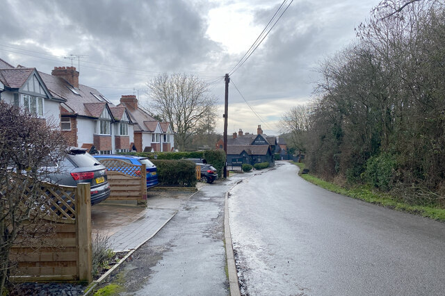
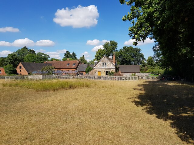
Kingswood Brook is a small village located in the county of Warwickshire, England. Situated just a few miles southeast of Warwick, the village is nestled in a picturesque rural setting, surrounded by rolling hills and lush green fields. It is part of the Warwick District and falls within the larger administrative area of West Midlands.
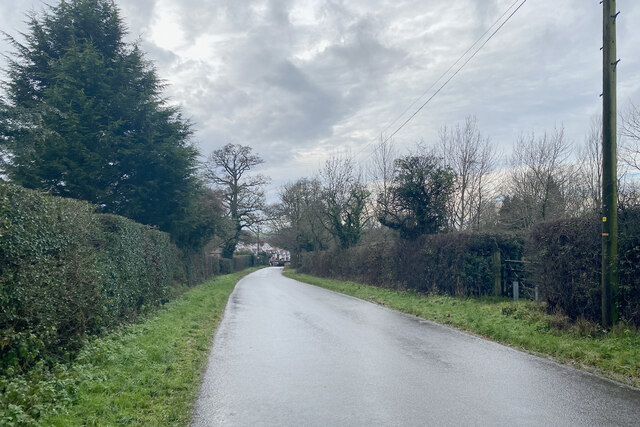
Historically, Kingswood Brook was predominantly an agricultural community, with farming being the primary occupation of its residents. Over the years, the village has retained its rural charm and peaceful atmosphere, making it an ideal place for those seeking tranquility away from the hustle and bustle of city life.
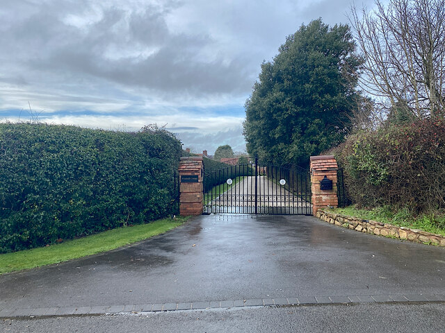
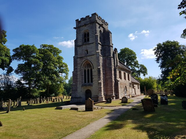
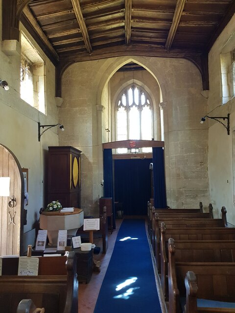
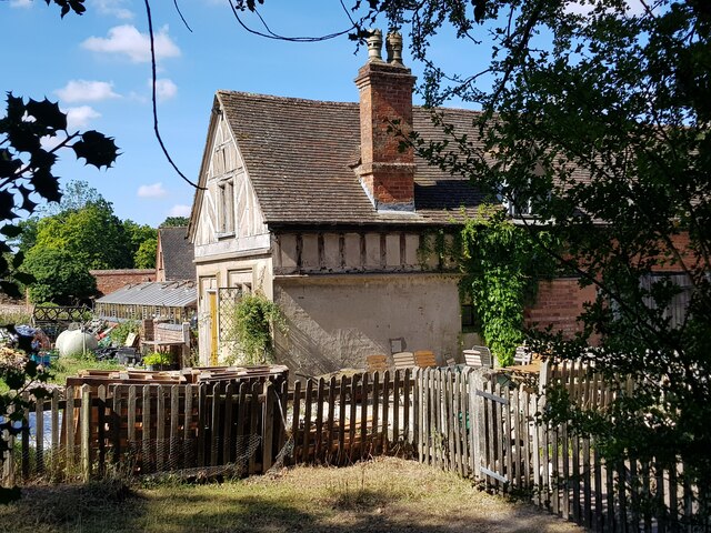
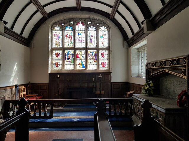
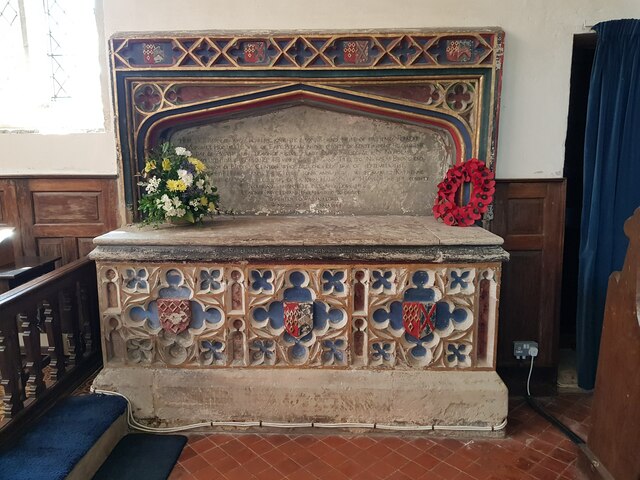
The village itself is relatively small, with a tight-knit community that takes pride in its close relationships and strong sense of community. Kingswood Brook boasts a number of traditional cottages and houses, giving it a charming and timeless feel. The village is also home to a small church, which serves as a focal point for religious and community activities.
Nature lovers will find much to appreciate in Kingswood Brook, as there are numerous walking trails and scenic spots to explore in the surrounding countryside. The nearby Warwickshire countryside offers beautiful landscapes, with opportunities for hiking, cycling, and wildlife spotting.
While Kingswood Brook may be a quiet and peaceful village, it benefits from its close proximity to larger towns and cities. The city of Warwick, with its rich history and attractions such as Warwick Castle, is just a short drive away, offering residents access to a range of amenities and cultural experiences.
Overall, Kingswood Brook is a charming and idyllic village that offers a tranquil lifestyle in a beautiful rural setting.
If you have any feedback on the listing, please let us know in the comments section below.
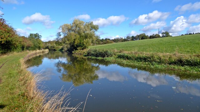
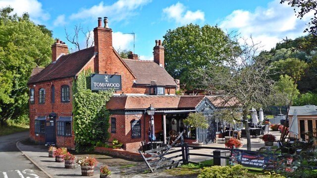
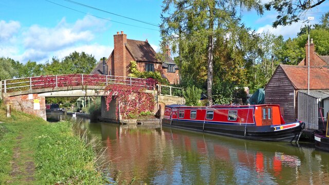
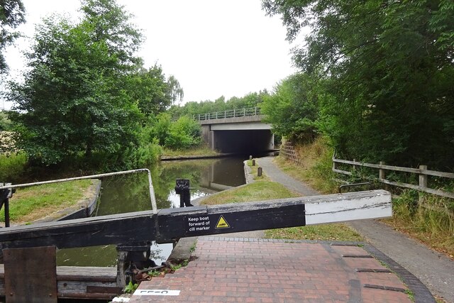
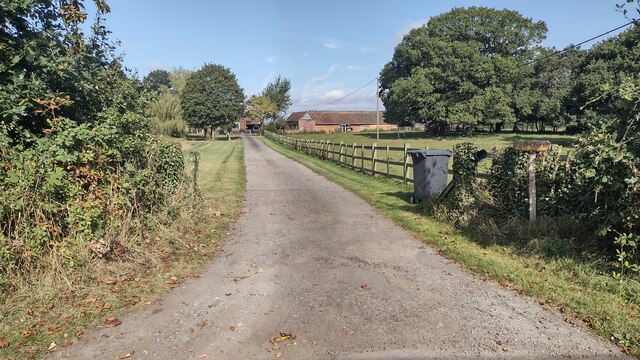
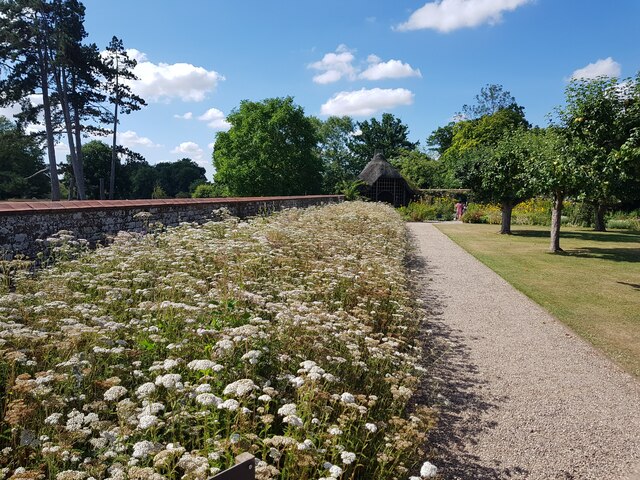
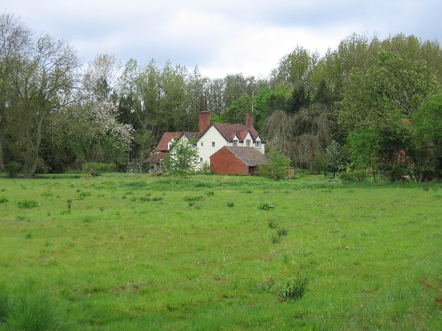
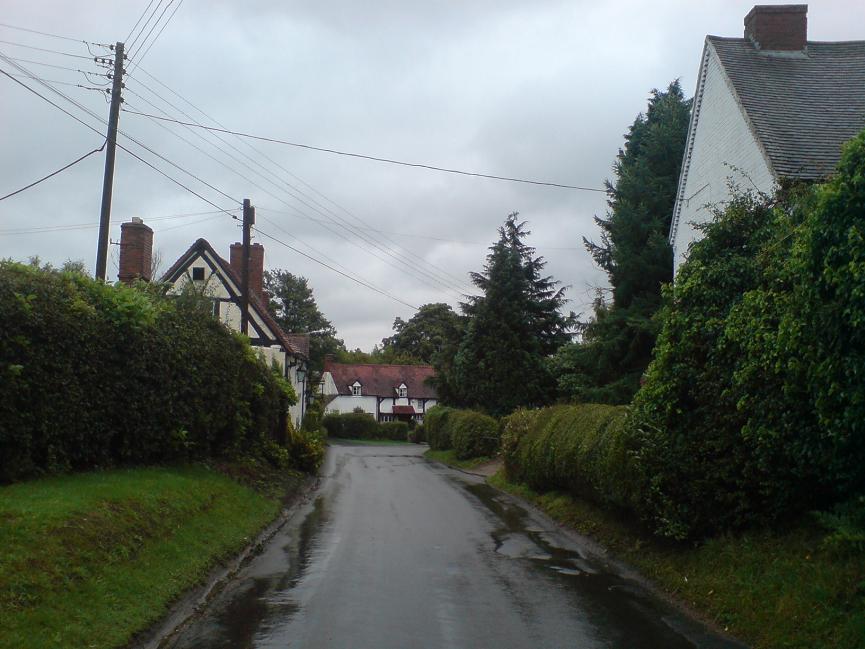
Kingswood Brook Images
Images are sourced within 2km of 52.327768/-1.7226259 or Grid Reference SP1970. Thanks to Geograph Open Source API. All images are credited.

Kingswood Brook is located at Grid Ref: SP1970 (Lat: 52.327768, Lng: -1.7226259)
Administrative County: Warwickshire
District: Warwick
Police Authority: Warwickshire
What 3 Words
///couches.moon.quote. Near Wroxall, Warwickshire
Nearby Locations
Related Wikis

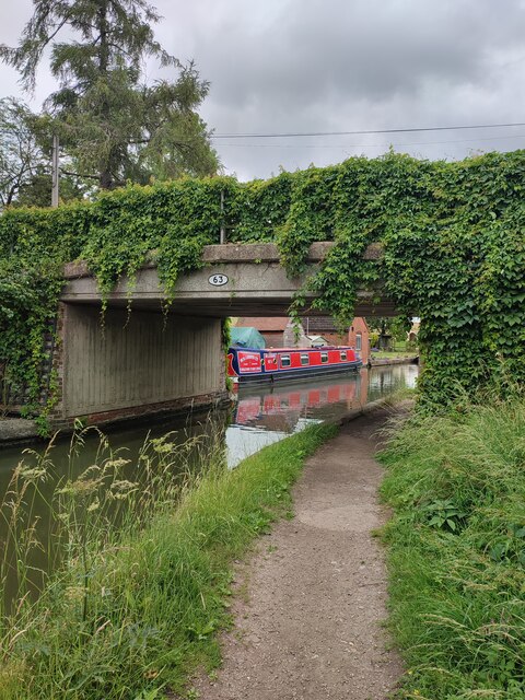
Kingswood Junction
Kingswood Junction (grid reference SP185709) is a canal junction where the Stratford-upon-Avon Canal meets the Grand Union Canal at Kingswood, Warwickshire...
Bushwood
Bushwood is a hamlet in Warwickshire, located three miles north of Henley in Arden and a mile west of the M40 motorway. There is no village centre as such...

Kingswood, Warwickshire
Kingswood is an area in the civil parishes of Lapworth and Rowington in Warwick District, Warwickshire, England. It forms the main residential area of...

Lapworth railway station
Lapworth railway station serves the village of Kingswood, Warwickshire, near the village of Lapworth from which it takes its name. It has two platforms...

Baddesley Clinton
Baddesley Clinton (grid reference SP199714) is a moated manor house, about 8 miles (13 km) north-west of the town of Warwick, in the village of Baddesley...

Rowington
Rowington is a village and civil parish in the English county of Warwickshire. It is five miles north-west of the town of Warwick and five miles south...
Lowsonford
Lowsonford is a small village within the parish of Rowington in Warwickshire, England. The village lies 4 miles (6.4 km) north-east of Henley-in-Arden...

Packwood House
Packwood House is a timber-framed Tudor manor house in Packwood on the Solihull border near Lapworth, Warwickshire. Owned by the National Trust since...
Nearby Amenities
Located within 500m of 52.327768,-1.7226259Have you been to Kingswood Brook?
Leave your review of Kingswood Brook below (or comments, questions and feedback).