Kingswood Common

Settlement in Staffordshire South Staffordshire

England

Kingswood Common

A41 at Middle Lane junction
A41 at Middle Lane junction Credit: Peter Whatley

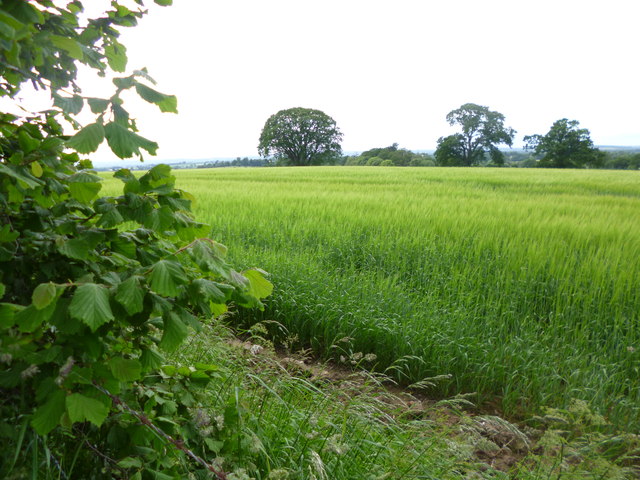
Kingswood Common is a picturesque area located in the county of Staffordshire, England. Situated approximately 7 miles southeast of the town of Stafford, this rural common covers an area of around 500 acres and is known for its natural beauty and diverse wildlife.

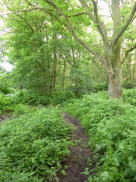
The common is predominantly made up of ancient woodland, with a mix of deciduous and coniferous trees creating a lush and vibrant landscape. It is home to a variety of tree species, including oak, birch, beech, and pine, which provide a rich habitat for numerous bird species and small mammals.

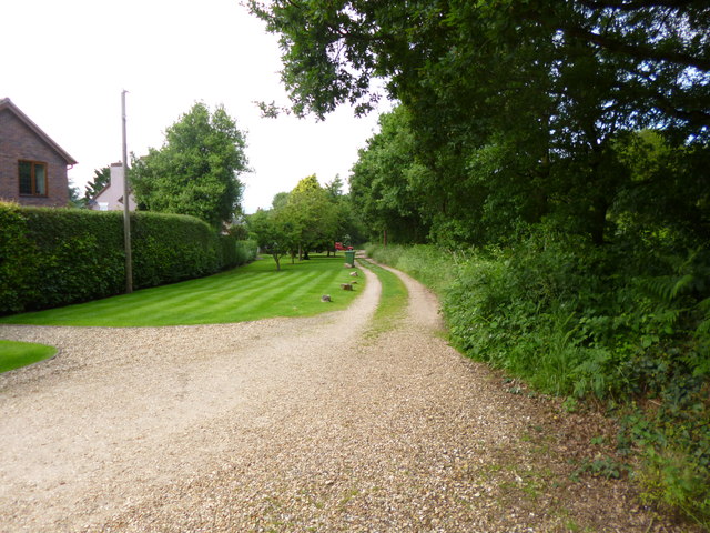
Visitors to Kingswood Common can enjoy a range of outdoor activities, such as walking, cycling, and horse riding. The well-maintained paths and trails make it a popular destination for nature enthusiasts and families seeking a peaceful escape from urban life.

The common is also home to a number of rare and protected species, including the dormouse and the lesser spotted woodpecker. This makes it a site of special scientific interest and an important conservation area.

In addition to its natural beauty, Kingswood Common also boasts a rich history. There are several archaeological sites within the area, including ancient burial mounds and remnants of Iron Age settlements. These historical features add an extra layer of fascination for those interested in the region's past.

Overall, Kingswood Common offers a tranquil and idyllic setting for outdoor recreation and exploration, while also providing important ecological value and a glimpse into the area's history.

If you have any feedback on the listing, please let us know in the comments section below.

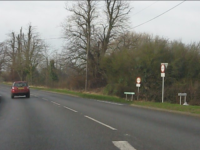
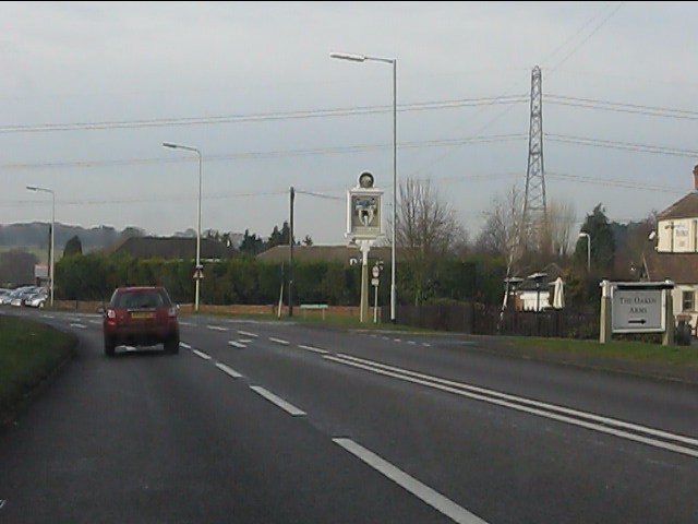
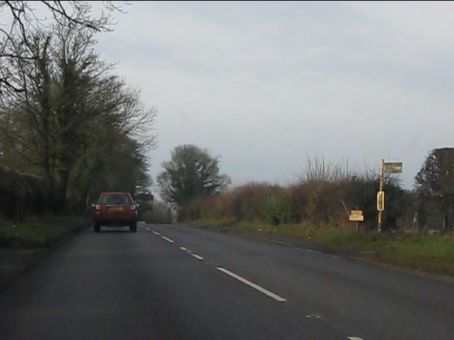
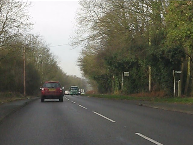
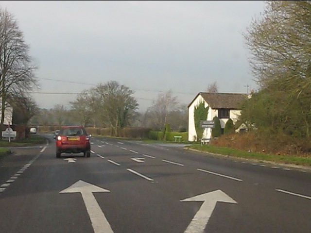
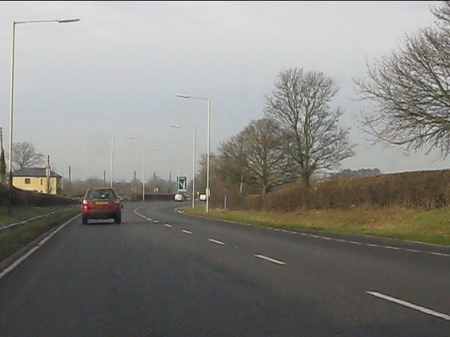
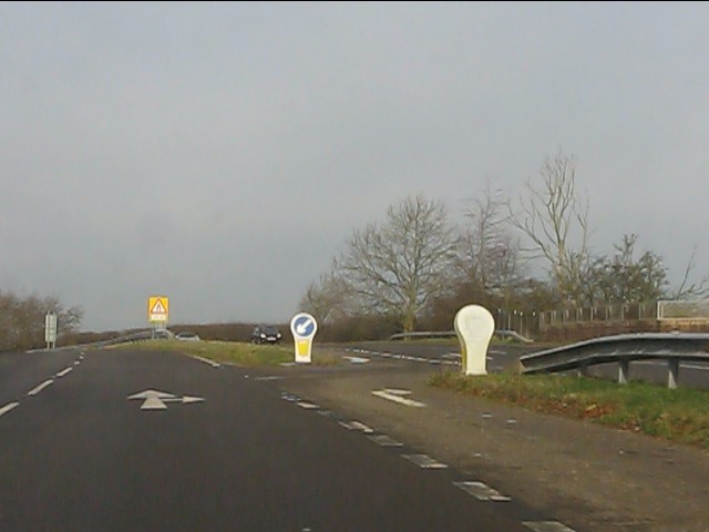
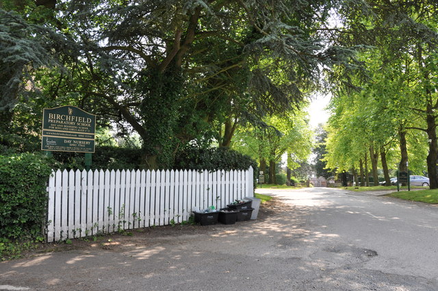
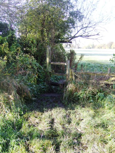
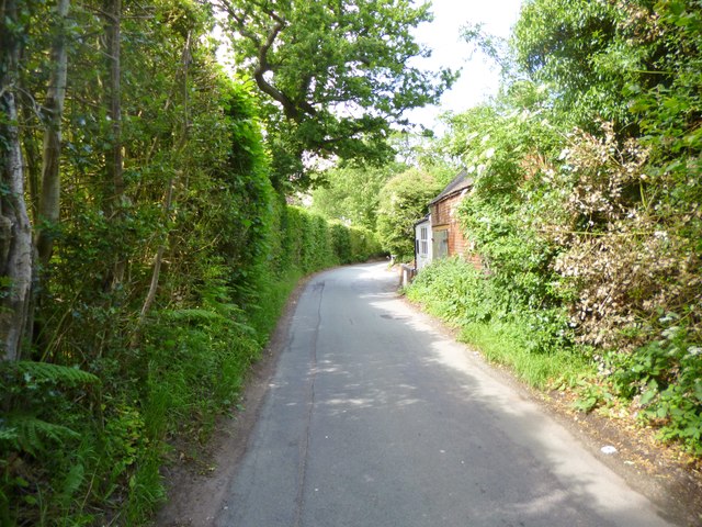
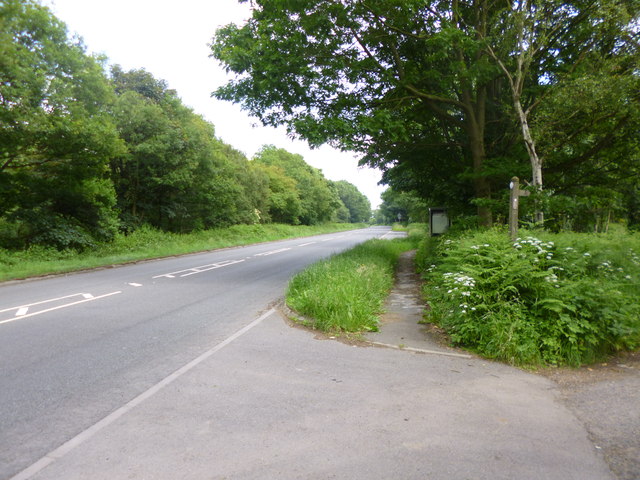
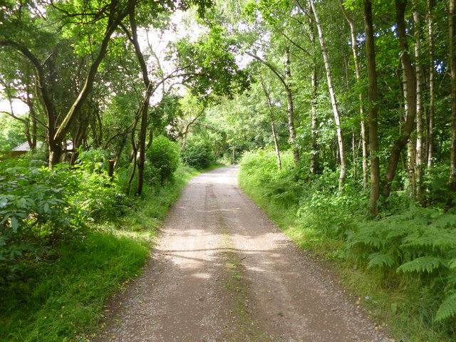
Kingswood Common Images

Images are sourced within 2km of 52.623224/-2.244895 or Grid Reference SJ8302. Thanks to Geograph Open Source API. All images are credited.

A41 at Middle Lane junction
A41 at Oaken
A41 at Oaken
A41/A461 junction, Oaken The historic bases of both routes is easily discernible.  The A461 is named Holyhead Road, the A41 Newport Road.
A41/A461 junction, Oaken
The historic bases of both routes is easily discernible. The A461 is named Holyhead Road, the A41 Newport Road.
Newport Road (A41) from the traffic lights
A41 at the footpath to Kingswood Common
A41 in Kingswood
A41 in Kingswood
A41 at County Lane crossroads After crossing a neck of Staffordshire, the A41 is about to enter Shropshire.
A41 at County Lane crossroads
After crossing a neck of Staffordshire, the A41 is about to enter Shropshire.
A41 in Shropshire
A41 in Shropshire
A41 nearing Kingswood Road junction
A41 at Beamish Lane junction A very brief section of dual carriageway has been constructed as the A41 bridges the railway line near Albrighton.
A41 at Beamish Lane junction
A very brief section of dual carriageway has been constructed as the A41 bridges the railway line near Albrighton.
The entrance to the Birchfield Preparatory School This is a day and boarding school for boys and girls aged from 4 to 13, there is also a day nursery.
The entrance to the Birchfield Preparatory School
This is a day and boarding school for boys and girls aged from 4 to 13, there is also a day nursery.
Monarchs Way The footpath follows the field edge on the way to Boscobel. Unfortunately the wet summer has left this section impassible.
Monarchs Way
The footpath follows the field edge on the way to Boscobel. Unfortunately the wet summer has left this section impassible.
Kingswood, County Lane So called because it forms the boundary between Shropshire (left) and Staffordshire (right).
Kingswood, County Lane
So called because it forms the boundary between Shropshire (left) and Staffordshire (right).
Kingswood, Newport Road A41, from Chester to Wolverhampton.
Kingswood, Newport Road
A41, from Chester to Wolverhampton.
Kingswood, track Track with right of way, along Kingswood Common to Newport Road.
Kingswood, track
Track with right of way, along Kingswood Common to Newport Road.
Kingswood Common Woodland and access land on both sides of Newport Road.
Kingswood Common
Woodland and access land on both sides of Newport Road.
Kingswood, cropland A field of barley next to County Lane.
Kingswood, cropland
A field of barley next to County Lane.
Kingswood, track Track with right of way along Kingswood Common to Newport Road.
Kingswood, track
Track with right of way along Kingswood Common to Newport Road.
Show me another place!

Kingswood Common is located at Grid Ref: SJ8302 (Lat: 52.623224, Lng: -2.244895)

Administrative County: Staffordshire

District: South Staffordshire

Police Authority: Staffordshire

What 3 Words

///walks.grace.keys. Near Albrighton, Shropshire

Related Wikis

Oaken

Oaken is a small village in Staffordshire, England. The first mention of the Oaken place-name was in 1086 when it was listed in the Domesday book as Ache...

Wrottesley Hall

Wrottesley Hall is a 1923-built Grade II listed house in the civil parish of Perton, and historically part of Tettenhall in Staffordshire, England. The...

Albrighton railway station

Albrighton railway station is a railway station which serves the village of Albrighton in Shropshire, England. The former up goods yard is now occupied...

Albrighton, east Shropshire

Albrighton is a large village and civil parish in Shropshire, England, 8 miles (13 km) northwest of Wolverhampton and 11 miles (18 km) northeast of Bridgnorth...

Nearby Amenities

Located within 500m of 52.623224,-2.244895
Kingswood
Place: hamlet
Lat/Long: 52.6250106/-2.2493853
Parking
Lat/Long: 52.62359/-2.2446341
Bus Stop
Caravan Park
Bus: yes
Naptan AtcoCode: 3800C613500
Naptan Bearing: W
Naptan CommonName: Caravan Park
Naptan Indicator: Adj
Naptan Landmark: Caravan Park
Naptan Street: Holyhead Road
Naptan Verified: no
Public Transport: platform
Source: naptan_import
Lat/Long: 52.6189645/-2.2463821
Bus Stop
Caravan Park
Bus: yes
Naptan AtcoCode: 3800C613501
Naptan Bearing: E
Naptan BusStopType: CUS
Naptan CommonName: Caravan Park
Naptan Indicator: Opp
Naptan Landmark: Caravan Park
Naptan Street: Holyhead Road
Naptan Verified: no
Public Transport: platform
Source: naptan_import
Lat/Long: 52.6191352/-2.2464274
Bus Stop
Park Farm
Bus: yes
Naptan AtcoCode: 3800C629101
Naptan Bearing: SE
Naptan CommonName: Park Farm
Naptan Indicator: Adj
Naptan Landmark: Park Farm
Naptan Street: Newport Road
Naptan Verified: no
Public Transport: platform
Source: naptan_import
Lat/Long: 52.6230626/-2.2426824
Bus Stop
Crossroads
Bus: yes
Naptan AtcoCode: 3500B220801
Naptan BusStopType: CUS
Naptan NaptanCode: shratdpw
Naptan Verified: no
Public Transport: platform
Source: naptan
Lat/Long: 52.6255642/-2.2479498
Bus Stop
Crossroads
Bus: yes
Naptan AtcoCode: 3500B220800
Naptan NaptanCode: shratdpt
Naptan Verified: no
Public Transport: platform
Source: naptan
Lat/Long: 52.6257351/-2.2478917
Power: pole
Lat/Long: 52.6193242/-2.2427595
Power: pole
Lat/Long: 52.6214354/-2.2510419
Power: pole
Lat/Long: 52.6224043/-2.2506167
Power: pole
Lat/Long: 52.6234255/-2.2502593
Power: pole
Lat/Long: 52.6244916/-2.2496369
Power: pole
Lat/Long: 52.6256842/-2.2491042
Power: pole
Lat/Long: 52.6262639/-2.2488361
Power: pole
Lat/Long: 52.6268493/-2.2485711
Barrier: lift_gate
Lat/Long: 52.6236898/-2.2445751
The data included in this document is from www.openstreetmap.org. The data is made available under ODbL.

Have you been to Kingswood Common?

Leave your review of Kingswood Common below (or comments, questions and feedback).