Colliers Hill
Hill, Mountain in Oxfordshire South Oxfordshire
England
Colliers Hill

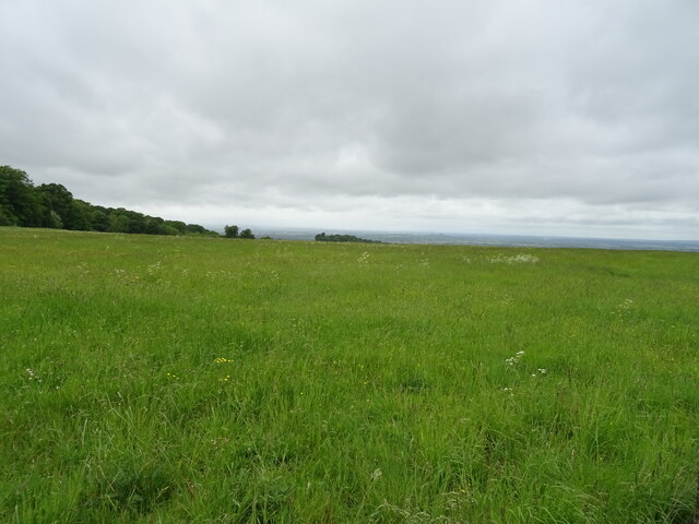
Colliers Hill is a prominent hill located in the county of Oxfordshire, England. Rising to an elevation of approximately 250 meters, it forms part of the Chiltern Hills, a designated Area of Outstanding Natural Beauty. The hill is situated near the village of Colliers Wood, with its peak offering breathtaking panoramic views of the surrounding countryside.
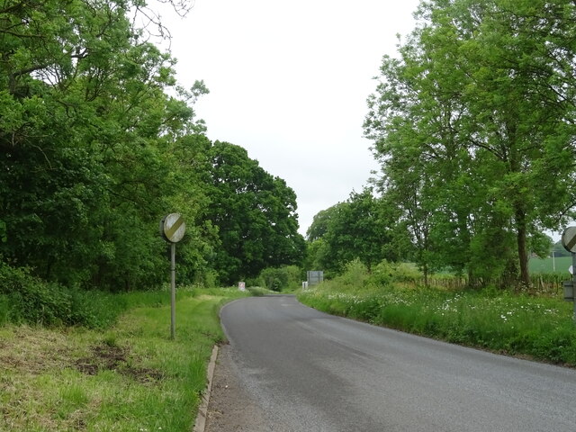
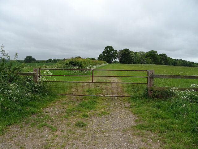
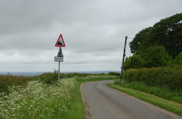
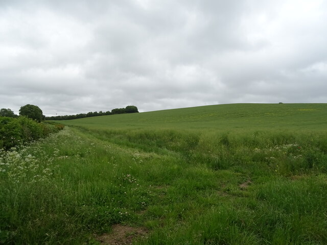
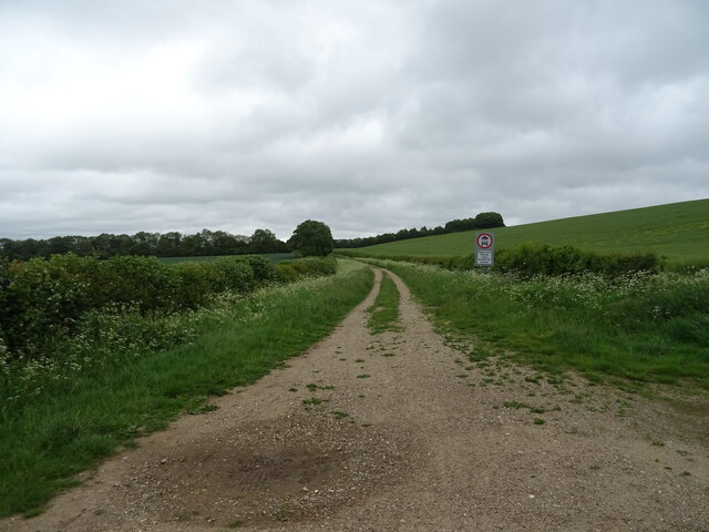
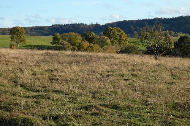
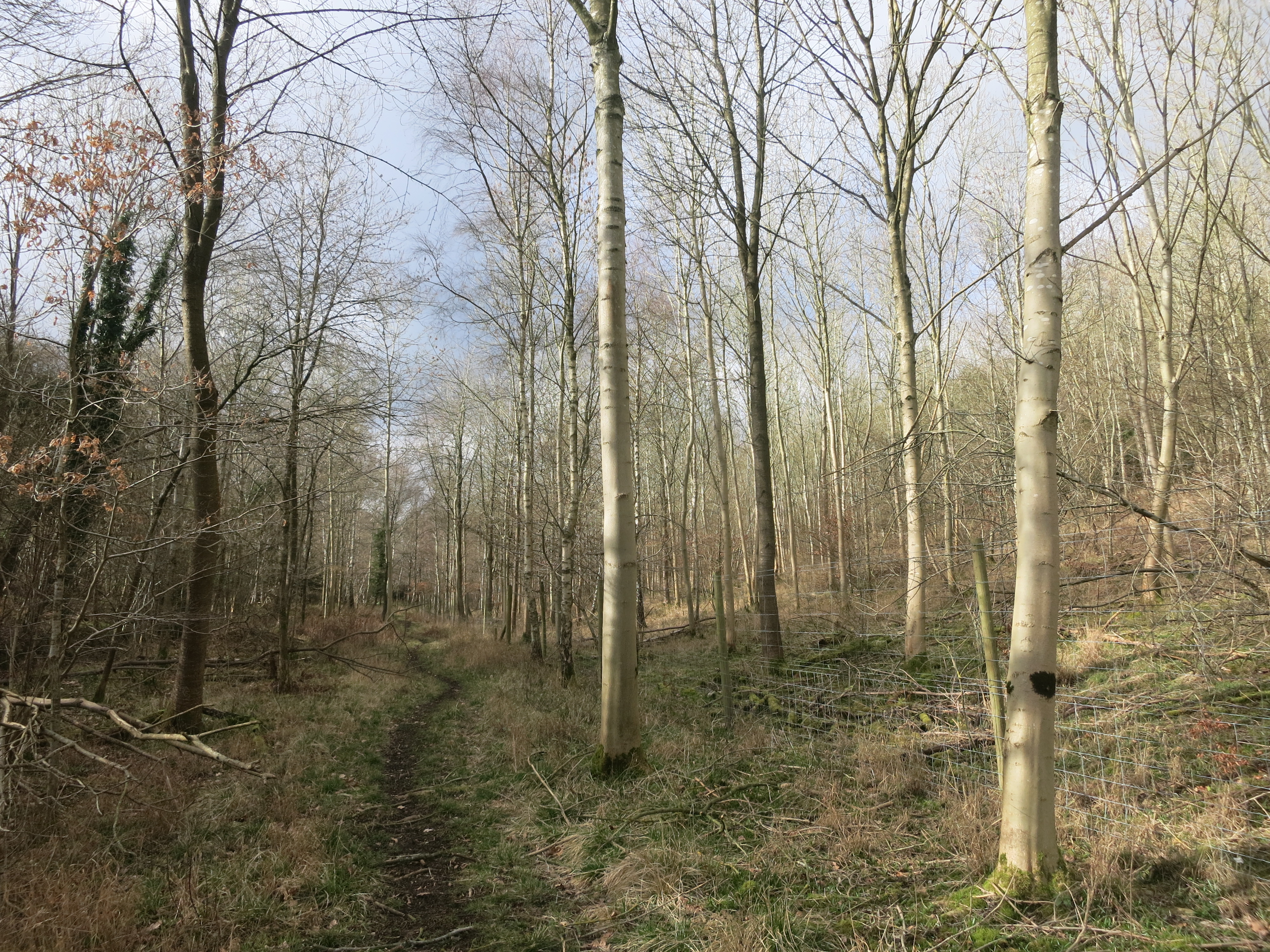
Covered in lush greenery, Colliers Hill is a popular destination for hikers, nature enthusiasts, and photographers alike. Its slopes are adorned with a variety of flora and fauna, including vibrant wildflowers, old oak trees, and grazing sheep. The hill is also home to several species of birds, making it an excellent spot for birdwatching.
The area surrounding Colliers Hill is rich in history, with evidence of human activity dating back to the Iron Age. Archaeological finds, such as pottery and tools, have been discovered on the hill, providing insights into the lives of ancient inhabitants. Furthermore, the hill has been used for mining in the past, with colliers extracting coal from its underground seams.
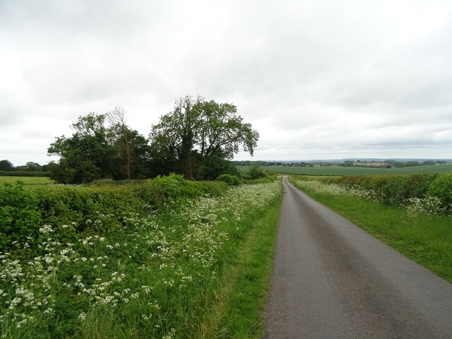
Today, Colliers Hill offers a tranquil escape from the hustle and bustle of everyday life. It features well-maintained footpaths and trails, allowing visitors to explore its diverse landscapes and enjoy the serenity it offers. Whether it's a leisurely stroll or a challenging hike, the hill caters to all levels of fitness and provides an opportunity to immerse oneself in the natural beauty of Oxfordshire.
If you have any feedback on the listing, please let us know in the comments section below.
Colliers Hill Images
Images are sourced within 2km of 51.607287/-1.0174377 or Grid Reference SU6890. Thanks to Geograph Open Source API. All images are credited.


Colliers Hill is located at Grid Ref: SU6890 (Lat: 51.607287, Lng: -1.0174377)
Administrative County: Oxfordshire
District: South Oxfordshire
Police Authority: Thames Valley
What 3 Words
///beak.consonant.reclining. Near Watlington, Oxfordshire
Nearby Locations
Related Wikis

Swyncombe
Swyncombe is a hamlet and large civil parish in the high Chilterns, within the Area of Outstanding Natural Beauty about 4+1⁄2 miles (7 km) east of Wallingford...

Swyncombe Downs
Swyncombe Downs is a 47.1-hectare (116-acre) biological Site of Special Scientific Interest east of Wallingford in Oxfordshire.This is an area of chalk...

HM Prison Huntercombe
HM Prison Huntercombe is a Category C men's prison, located near Nuffield in Oxfordshire, England. It is operated by His Majesty's Prison Service. ��2...

Nuffield Place
Nuffield Place is a country house near the village of Nuffield in the Chiltern Hills in South Oxfordshire, England, just over 4 miles (6 km) east of Wallingford...

Russell's Water
Russell's Water is a hamlet about 6 miles (9.7 km) north of Henley-on-Thames in South Oxfordshire. It is in the Chiltern Hills about 620 feet (190 m)...

Nuffield, Oxfordshire
Nuffield is a village and civil parish in the Chiltern Hills in South Oxfordshire, England, just over 4 miles (6 km) east of Wallingford. The 2011 Census...
Pishill Woods
Pishill Woods is a 42.8-hectare (106-acre) biological Site of Special Scientific Interest north of Nettlebed in Oxfordshire.These semi-natural woods have...

Berrick Trench
Berrick Trench is a 2.1-hectare (5.2-acre) biological Site of Special Scientific Interest north of Nettlebed in Oxfordshire.This is an ancient semi-natural...
Nearby Amenities
Located within 500m of 51.607287,-1.0174377Have you been to Colliers Hill?
Leave your review of Colliers Hill below (or comments, questions and feedback).