Coates Copse
Wood, Forest in Oxfordshire South Oxfordshire
England
Coates Copse

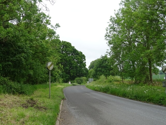
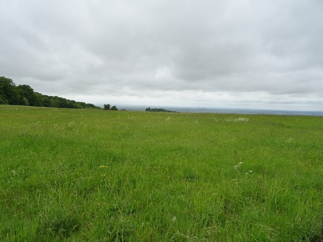
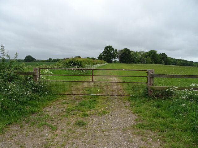
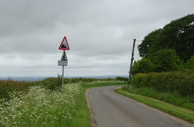
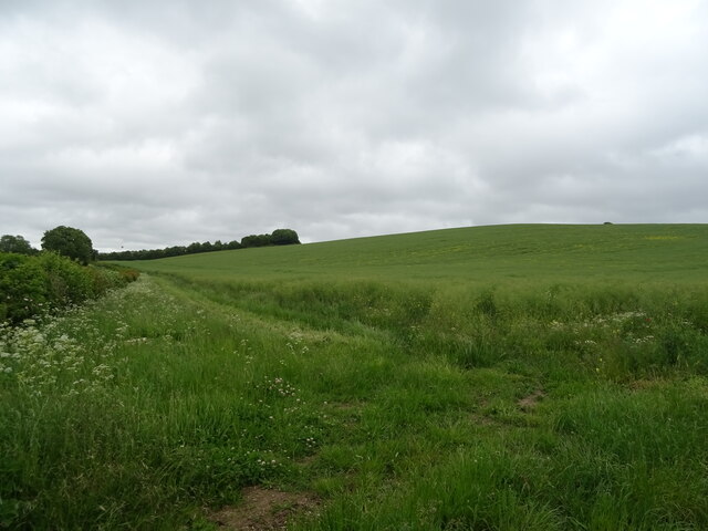
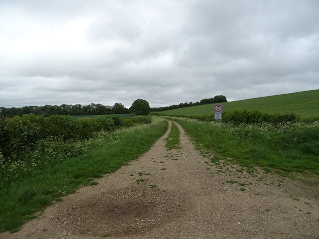
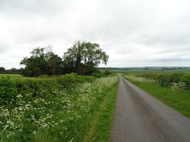
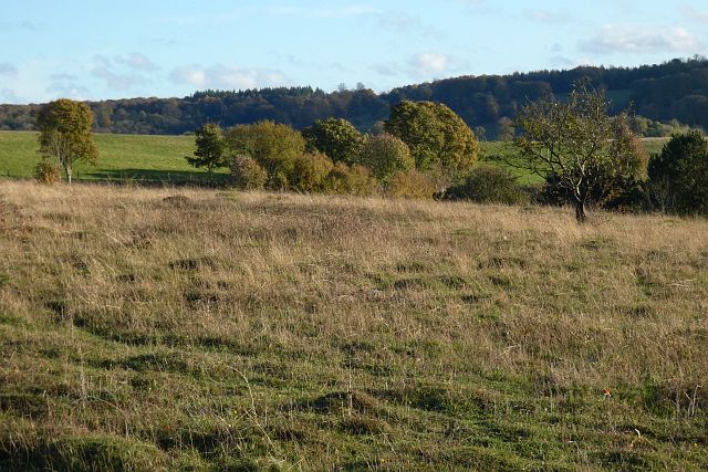
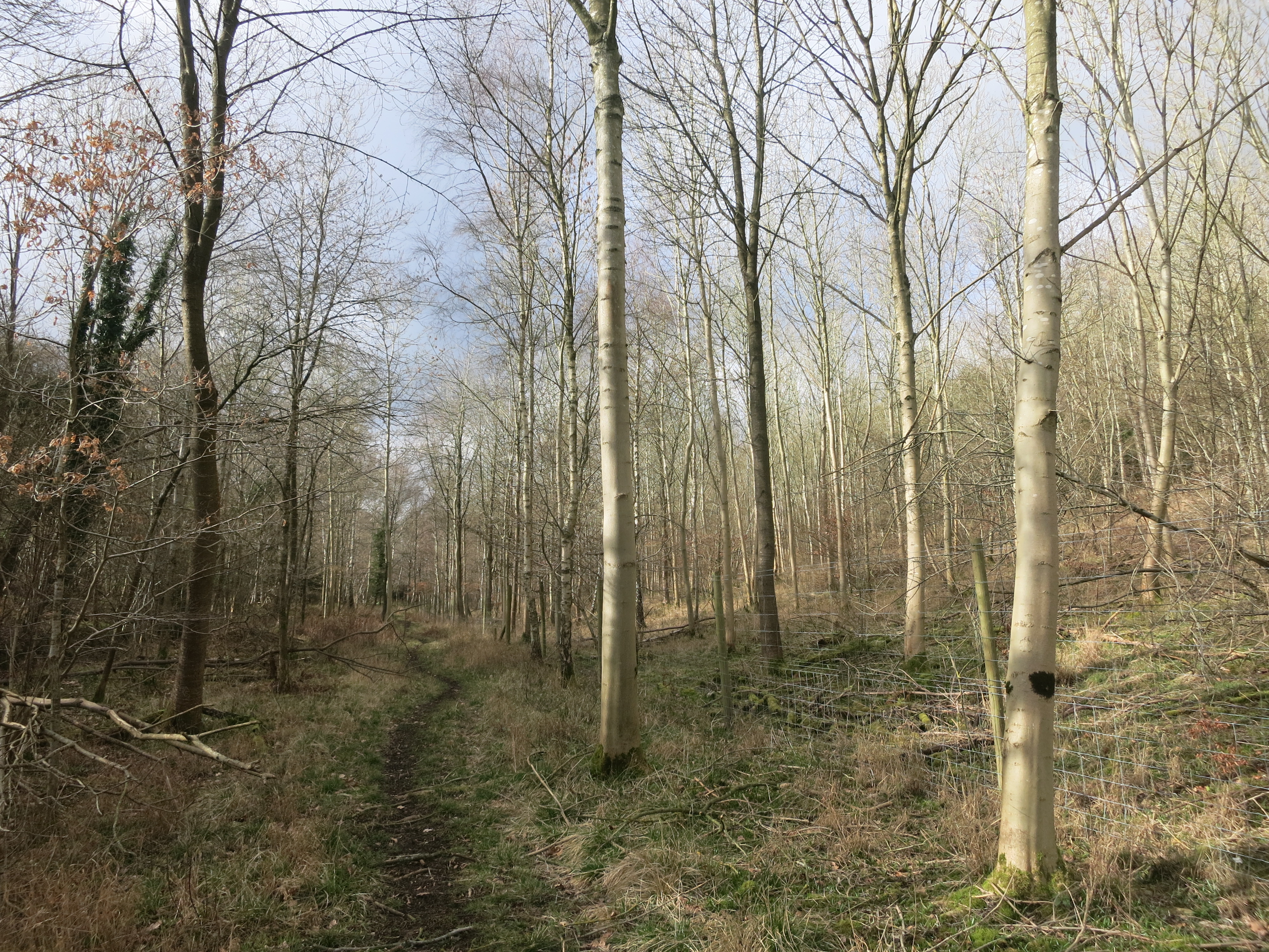
Coates Copse is a charming woodland area located in Oxfordshire, England. Covering an area of approximately 50 acres, it is a popular destination for nature enthusiasts and those seeking a tranquil escape from the bustling city life. The copse is characterized by its dense canopy of oak, beech, and birch trees, creating a picturesque forest setting.
The woodland is home to a diverse range of flora and fauna, providing a habitat for various species. Bluebells, primroses, and wild garlic carpet the forest floor during spring, creating a vibrant burst of color. The towering trees provide shelter and nesting sites for a variety of bird species, including woodpeckers, jays, and owls. Squirrels, foxes, and deer can also be spotted roaming the area, adding to the natural charm of Coates Copse.
Walking trails meander through the copse, allowing visitors to explore its beauty at their own pace. The peaceful ambiance makes it an ideal spot for picnics, photography, and quiet contemplation. In addition, the copse is well-maintained with designated picnic areas, benches, and litter bins to ensure a pleasant experience for all visitors.
Coates Copse is conveniently located near several villages, making it easily accessible for locals and tourists alike. It is a place where individuals of all ages can connect with nature, unwind, and immerse themselves in the serene surroundings. Whether it's a leisurely stroll, birdwatching, or simply enjoying the tranquility, Coates Copse offers a refreshing escape into the natural beauty of Oxfordshire.
If you have any feedback on the listing, please let us know in the comments section below.
Coates Copse Images
Images are sourced within 2km of 51.611632/-1.0049671 or Grid Reference SU6890. Thanks to Geograph Open Source API. All images are credited.


Coates Copse is located at Grid Ref: SU6890 (Lat: 51.611632, Lng: -1.0049671)
Administrative County: Oxfordshire
District: South Oxfordshire
Police Authority: Thames Valley
What 3 Words
///allows.sparrows.liner. Near Watlington, Oxfordshire
Nearby Locations
Related Wikis

Swyncombe
Swyncombe is a hamlet and large civil parish in the high Chilterns, within the Area of Outstanding Natural Beauty about 4+1⁄2 miles (7 km) east of Wallingford...

Swyncombe Downs
Swyncombe Downs is a 47.1-hectare (116-acre) biological Site of Special Scientific Interest east of Wallingford in Oxfordshire.This is an area of chalk...

Russell's Water
Russell's Water is a hamlet about 6 miles (9.7 km) north of Henley-on-Thames in South Oxfordshire. It is in the Chiltern Hills about 620 feet (190 m)...
Pishill Woods
Pishill Woods is a 42.8-hectare (106-acre) biological Site of Special Scientific Interest north of Nettlebed in Oxfordshire.These semi-natural woods have...

Watlington Park
Watlington Park is an English country house with its surrounding grounds of approximately 500 acres (200 ha), located atop an escarpment in the Chiltern...

HM Prison Huntercombe
HM Prison Huntercombe is a Category C men's prison, located near Nuffield in Oxfordshire, England. It is operated by His Majesty's Prison Service. ��2...

Berrick Trench
Berrick Trench is a 2.1-hectare (5.2-acre) biological Site of Special Scientific Interest north of Nettlebed in Oxfordshire.This is an ancient semi-natural...

Nuffield Place
Nuffield Place is a country house near the village of Nuffield in the Chiltern Hills in South Oxfordshire, England, just over 4 miles (6 km) east of Wallingford...
Have you been to Coates Copse?
Leave your review of Coates Copse below (or comments, questions and feedback).