Church Wood
Wood, Forest in Oxfordshire South Oxfordshire
England
Church Wood

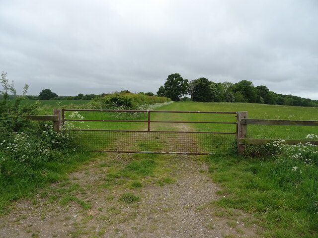
Church Wood is a picturesque woodland located in Oxfordshire, England. Covering an area of approximately 50 acres, it is one of the largest woodlands in the county and is renowned for its natural beauty and diverse wildlife.
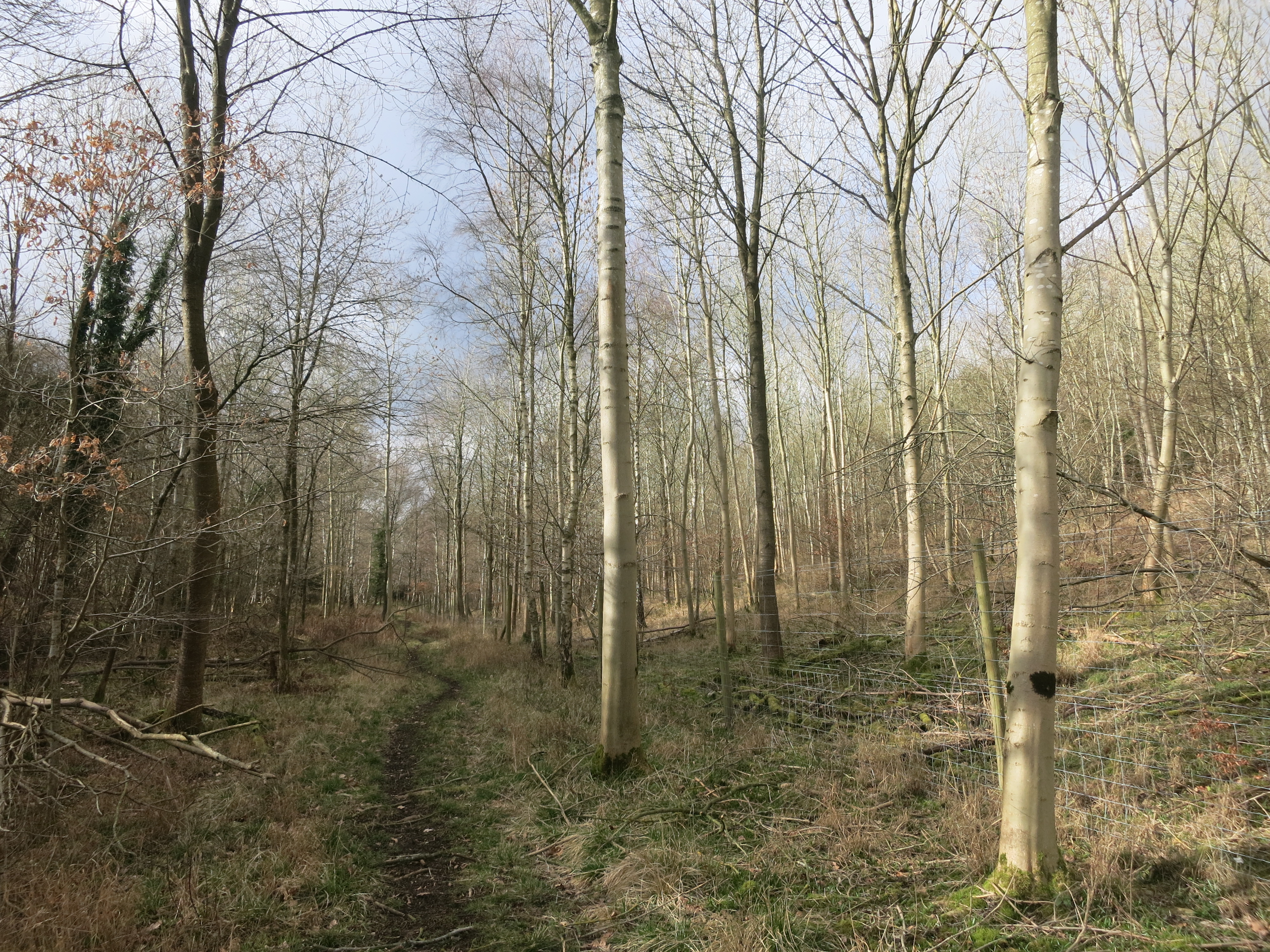
The wood is characterized by a mix of broadleaf trees, predominantly oak and beech, which create a dense canopy and provide a habitat for a variety of flora and fauna. The forest floor is covered in a rich carpet of bluebells in the spring, creating a breathtaking sight for visitors.
Church Wood is a haven for wildlife enthusiasts, as it is home to numerous species of birds, including woodpeckers, owls, and warblers. It also provides a habitat for mammals such as deer, foxes, and badgers. Visitors may be lucky enough to spot these creatures or even catch a glimpse of the elusive red squirrel, which is known to inhabit the area.
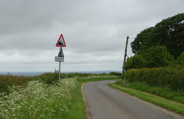
The wood is crisscrossed by a network of walking trails, allowing visitors to explore its beauty at their own pace. These trails meander through the forest, passing by tranquil ponds and babbling brooks, providing opportunities for peaceful reflection and connection with nature.
Church Wood also holds historical significance, as it is believed to have been a sacred site in ancient times, hence its name. There is evidence of prehistoric settlements in the area, and the wood is said to have been used for religious ceremonies by the local community.
Overall, Church Wood is a delightful destination for nature lovers and history enthusiasts alike, offering a serene and enchanting experience in the heart of Oxfordshire.
If you have any feedback on the listing, please let us know in the comments section below.
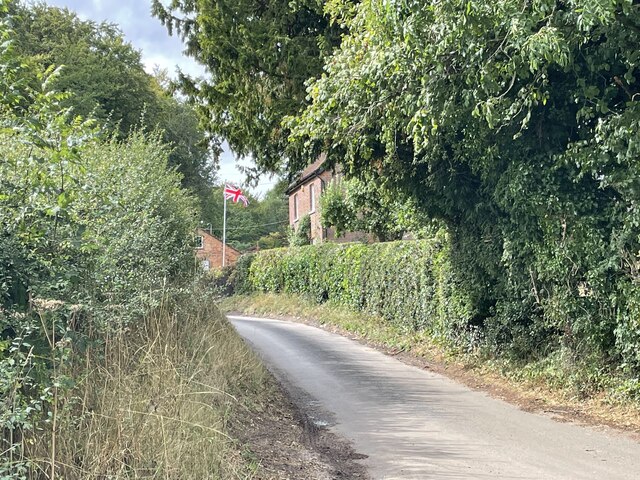
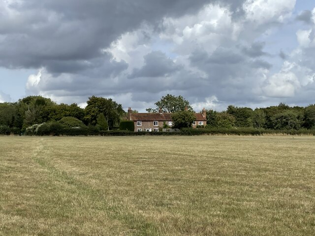
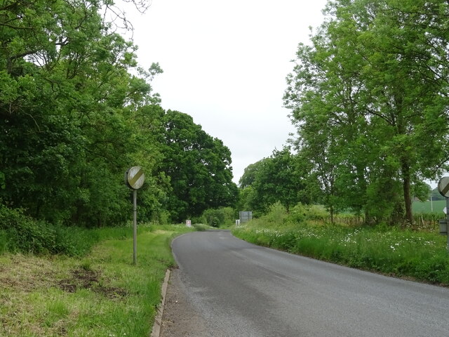
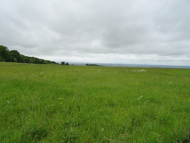
Church Wood Images
Images are sourced within 2km of 51.60564/-1.0066432 or Grid Reference SU6890. Thanks to Geograph Open Source API. All images are credited.


Church Wood is located at Grid Ref: SU6890 (Lat: 51.60564, Lng: -1.0066432)
Administrative County: Oxfordshire
District: South Oxfordshire
Police Authority: Thames Valley
What 3 Words
///done.eased.retraced. Near Watlington, Oxfordshire
Nearby Locations
Related Wikis

Swyncombe
Swyncombe is a hamlet and large civil parish in the high Chilterns, within the Area of Outstanding Natural Beauty about 4+1⁄2 miles (7 km) east of Wallingford...

Swyncombe Downs
Swyncombe Downs is a 47.1-hectare (116-acre) biological Site of Special Scientific Interest east of Wallingford in Oxfordshire.This is an area of chalk...

Russell's Water
Russell's Water is a hamlet about 6 miles (9.7 km) north of Henley-on-Thames in South Oxfordshire. It is in the Chiltern Hills about 620 feet (190 m)...

HM Prison Huntercombe
HM Prison Huntercombe is a Category C men's prison, located near Nuffield in Oxfordshire, England. It is operated by His Majesty's Prison Service. ��2...
Pishill Woods
Pishill Woods is a 42.8-hectare (106-acre) biological Site of Special Scientific Interest north of Nettlebed in Oxfordshire.These semi-natural woods have...

Berrick Trench
Berrick Trench is a 2.1-hectare (5.2-acre) biological Site of Special Scientific Interest north of Nettlebed in Oxfordshire.This is an ancient semi-natural...

Nuffield Place
Nuffield Place is a country house near the village of Nuffield in the Chiltern Hills in South Oxfordshire, England, just over 4 miles (6 km) east of Wallingford...

Watlington Park
Watlington Park is an English country house with its surrounding grounds of approximately 500 acres (200 ha), located atop an escarpment in the Chiltern...
Nearby Amenities
Located within 500m of 51.60564,-1.0066432Have you been to Church Wood?
Leave your review of Church Wood below (or comments, questions and feedback).