Barley Hill

Hill, Mountain in Oxfordshire South Oxfordshire

England

Barley Hill

A4130 at Nuffield village boundary
A4130 at Nuffield village boundary Credit: Colin Pyle

Barley Hill is a small hill located in the county of Oxfordshire, England. Situated near the village of Thame, it is a prominent geographical feature in the area. Despite its name, Barley Hill is not a mountain but rather a modest elevation that offers picturesque views of the surrounding countryside.

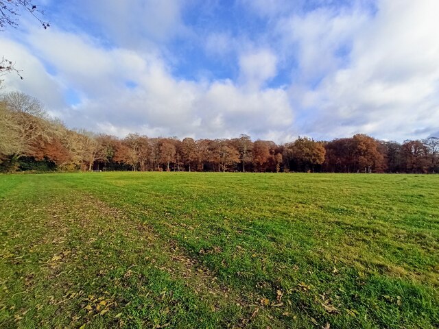
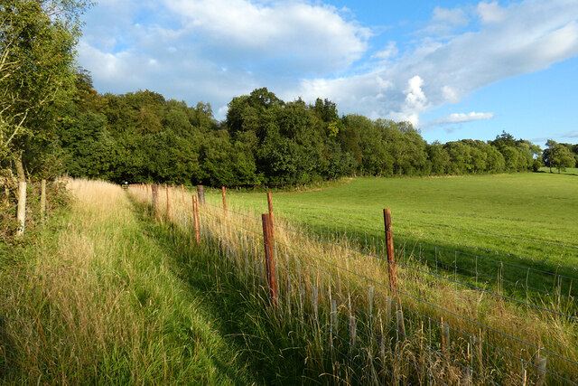
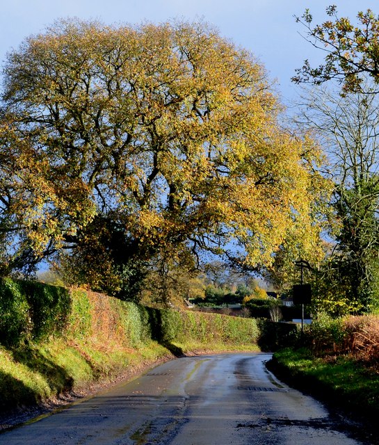
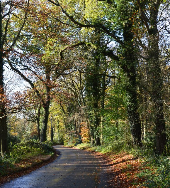
Covered in lush greenery, the hill is primarily used for agricultural purposes, with fields of barley and other crops cultivated on its slopes. It is a popular spot for walkers and hikers, who can enjoy the tranquil beauty of the landscape while exploring the numerous footpaths that crisscross the area.

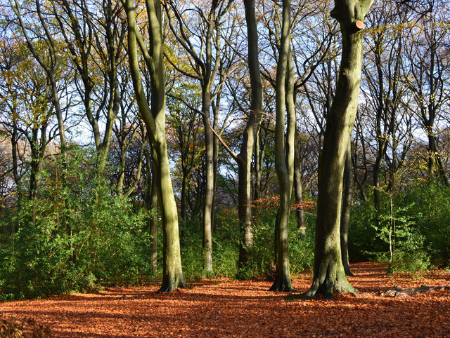
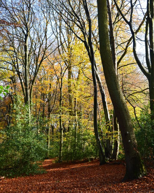
At the summit of Barley Hill, there is a small wooded area, providing a peaceful retreat for nature enthusiasts. The trees are predominantly beech, oak, and ash, creating a diverse ecosystem that is home to various wildlife species.

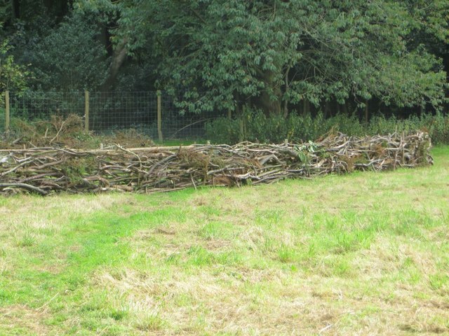
One of the notable features of Barley Hill is its connection to local history. It is believed that the hill played a role in the English Civil War, with troops stationed there to gain strategic advantages due to its elevated position. Today, remnants of these historical events can still be found in the form of earthworks and ditches.

Overall, Barley Hill offers visitors a chance to immerse themselves in the natural beauty of Oxfordshire. Whether it's a leisurely stroll or a more vigorous hike, the hill provides an opportunity to escape the hustle and bustle of everyday life and appreciate the tranquility of the countryside.

If you have any feedback on the listing, please let us know in the comments section below.
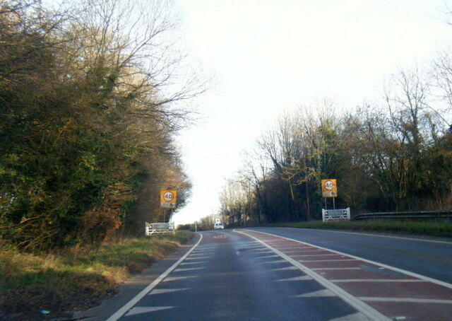
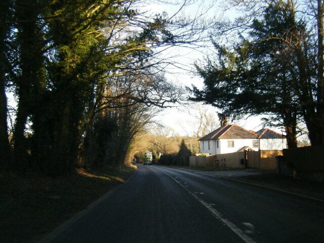
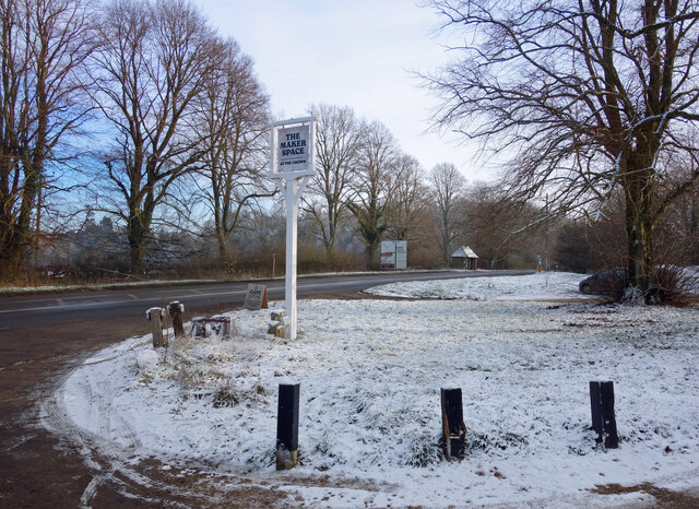
Barley Hill Images

Images are sourced within 2km of 51.568468/-1.0225742 or Grid Reference SU6785. Thanks to Geograph Open Source API. All images are credited.

A4130 at Nuffield village boundary
A4130 at Port Hill
A4130 at Port Hill
Houses in Stoke Row Looking towards Church View.
Houses in Stoke Row
Looking towards Church View.
Church View, Stoke Row
Kit Lane, Stoke Row
Kit Lane, Stoke Row
Light Snow at The Maker Space The Crown at Nuffield was a lovely traditional pub in the Brakspears of Henley estate, but like so many country pubs these days couldn't keep going. It was closed for a long time <a href="https://www.geograph.org.uk/photo/5583827">SU6787 : The Crown closed inn beside the A4130</a> but happily is now open again as The Maker Space (at The Crown) aiming more at the coffee, cake and light meals market, and also as a craft centre.
Light Snow at The Maker Space
The Crown at Nuffield was a lovely traditional pub in the Brakspears of Henley estate, but like so many country pubs these days couldn't keep going. It was closed for a long time SU6787 : The Crown closed inn beside the A4130 but happily is now open again as The Maker Space (at The Crown) aiming more at the coffee, cake and light meals market, and also as a craft centre.
Woods north east of Stoke Row
Nott Wood
Nott Wood
The Maharajah's Well, Stoke Row This is an unlikely looking structure to find in an Oxfordshire village. Its origins lie in the friendship that developed between Edward Anderton Reade, the son of a local squire who spent his working life in India, and the Maharajah of Benares. In Victorian times the villages of this part of Oxfordshire had only limited access to clean water bringing considerable hardship to the poor of the area. Learning of these difficulties, the Maharajah - who had remained loyal to the British during the Indian Mutiny of 1857 - determined that a charity should be set up to relieve the problem. The result was a well dug to a depth of 368 feet, a considerable engineering achievement. To honour the Maharajah, who never visited Britain, a splendid well canopy was built incorporating a gold elephant representing the Hindu god Ganesh. The well was used until the beginning of the Second World War although by that time most houses in the village had a mains connection. Today the well has been renovated and preserved and is maintained by the Maharajah's Well Trust.

The octagonal cottage to the right was built to house the well warden. The last warden died in 1979 since when it has been rented out to supplement the charity's income.
The Maharajah's Well, Stoke Row
This is an unlikely looking structure to find in an Oxfordshire village. Its origins lie in the friendship that developed between Edward Anderton Reade, the son of a local squire who spent his working life in India, and the Maharajah of Benares. In Victorian times the villages of this part of Oxfordshire had only limited access to clean water bringing considerable hardship to the poor of the area. Learning of these difficulties, the Maharajah - who had remained loyal to the British during the Indian Mutiny of 1857 - determined that a charity should be set up to relieve the problem. The result was a well dug to a depth of 368 feet, a considerable engineering achievement. To honour the Maharajah, who never visited Britain, a splendid well canopy was built incorporating a gold elephant representing the Hindu god Ganesh. The well was used until the beginning of the Second World War although by that time most houses in the village had a mains connection. Today the well has been renovated and preserved and is maintained by the Maharajah's Well Trust. The octagonal cottage to the right was built to house the well warden. The last warden died in 1979 since when it has been rented out to supplement the charity's income.
The Maharajah's Well, Stoke Row This is looking under the canopy of the well where the gold elephant takes pride of place. See <a href="https://www.geograph.org.uk/photo/7620533">SU6784 : The Maharajah's Well, Stoke Row</a> for a wider view and some historical notes.
The Maharajah's Well, Stoke Row
This is looking under the canopy of the well where the gold elephant takes pride of place. See SU6784 : The Maharajah's Well, Stoke Row for a wider view and some historical notes.
Pasture and woodland, Highmoor With a footpath approaching Highmoor from the north-west.
Pasture and woodland, Highmoor
With a footpath approaching Highmoor from the north-west.
Nuffield Place
Nuffield Place
After rain, Stoke Row, Oxfordshire
Beech woodland, Stoke Row, Oxfordshire
Country lane, Ipsden, Oxfordshire
Bridleway, Stoke Row, Oxfordshire
Hedge Laying There may well have been a competition or exhibition on how to do this at Nuffield Place some time.
Hedge Laying
There may well have been a competition or exhibition on how to do this at Nuffield Place some time.
Couple of Sheds No doubt built the same time as the house at Nuffield Place <a href="https://www.geograph.org.uk/photo/4811296">SU6787 : Plaque by the Shed</a>
Couple of Sheds
No doubt built the same time as the house at Nuffield Place SU6787 : Plaque by the Shed
Show me another place!

Barley Hill is located at Grid Ref: SU6785 (Lat: 51.568468, Lng: -1.0225742)

Administrative County: Oxfordshire

District: South Oxfordshire

Police Authority: Thames Valley

What 3 Words

///apples.trouser.succumbs. Near Rotherfield Peppard, Oxfordshire

Nearby Locations

Barley Hill

Related Wikis

Henley Rural District

Henley was a rural district in Oxfordshire, England from 1894 to 1974. It was named after the borough of Henley-on-Thames, which it surrounded on the west...

Ipsden Heath

Ipsden Heath is a 32-acre (13-hectare) woodland in the English county of Oxfordshire, within the Chiltern Area of Outstanding Natural Beauty. == References ==

Nuffield, Oxfordshire

Nuffield is a village and civil parish in the Chiltern Hills in South Oxfordshire, England, just over 4 miles (6 km) east of Wallingford. The 2011 Census...
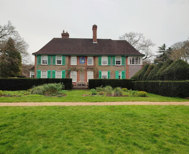
Nuffield Place

Nuffield Place is a country house near the village of Nuffield in the Chiltern Hills in South Oxfordshire, England, just over 4 miles (6 km) east of Wallingford...

Nearby Amenities

Located within 500m of 51.568468,-1.0225742
Barrier: stile
Bicycle: no
Foot: no
Lat/Long: 51.5687466/-1.0206107
Barrier: stile
Bicycle: no
Foot: yes
Material: wood
Stile: stepover
Lat/Long: 51.5655503/-1.0227593
Barrier: stile
Bicycle: no
Foot: yes
Material: wood
Stile: stepover
Lat/Long: 51.5693564/-1.0230886
Barrier: stile
Foot: yes
Material: wood
Stile: stepover
Lat/Long: 51.5682856/-1.0280247
Power: pole
Lat/Long: 51.56589/-1.0179842
Power: pole
Lat/Long: 51.5669637/-1.0181129
Power: pole
Lat/Long: 51.5688677/-1.017563
Power: pole
Lat/Long: 51.5697063/-1.016871
Power: pole
Lat/Long: 51.5705249/-1.0162139
Power: pole
Lat/Long: 51.5702048/-1.0289571
Power: pole
Lat/Long: 51.5697563/-1.0283509
Power: pole
Lat/Long: 51.5692928/-1.0276777
Power: pole
Lat/Long: 51.5688294/-1.0270339
Power: pole
Lat/Long: 51.5720169/-1.0257062
Power: pole
Lat/Long: 51.5725037/-1.0242873
The data included in this document is from www.openstreetmap.org. The data is made available under ODbL.

Have you been to Barley Hill?

Leave your review of Barley Hill below (or comments, questions and feedback).