Bowman Hill
Hill, Mountain in Nottinghamshire Bassetlaw
England
Bowman Hill

Bowman Hill is a small hill located in the county of Nottinghamshire, England. Situated in the southwestern part of the county, the hill is part of the wider landscape of the Nottinghamshire countryside. Although it is referred to as a hill, it is more accurately described as a small rise or elevation, rather than a significant mountainous feature.
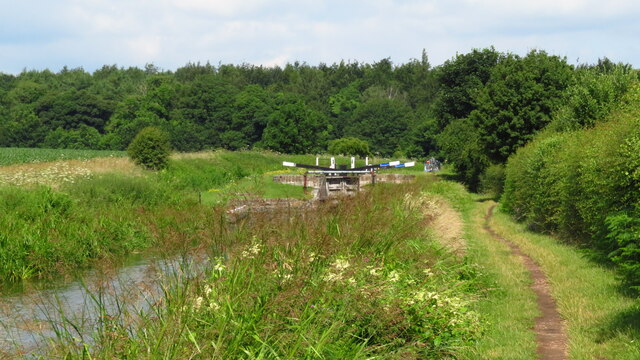
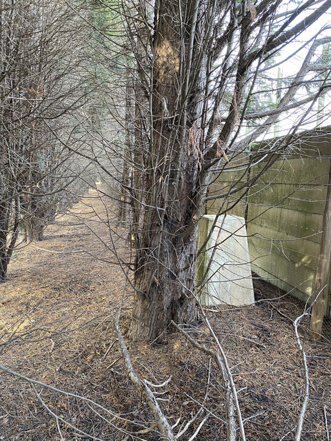
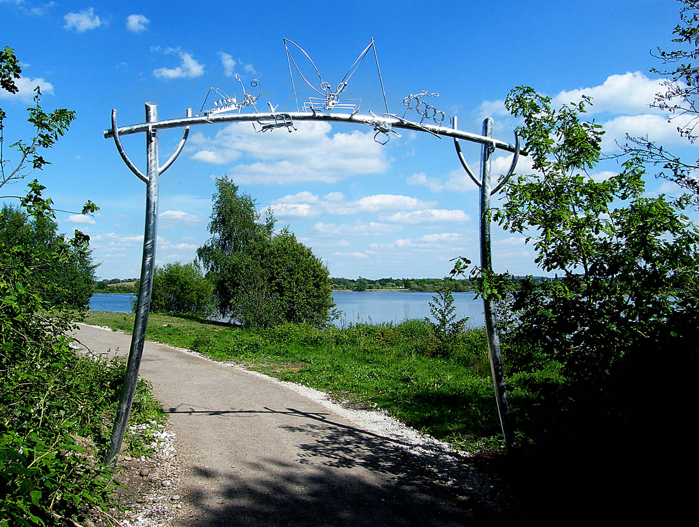
Bowman Hill is situated in a predominantly rural area, surrounded by agricultural fields and patches of woodland. It offers panoramic views of the surrounding countryside, providing visitors with a peaceful and serene setting to enjoy nature. It is a popular spot for hikers and nature enthusiasts, who appreciate the gentle slopes and scenic vistas.
The hill itself is covered in grassland and scattered with a variety of flora and fauna. The area is home to a diverse range of plant life, including wildflowers, grasses, and small shrubs. It also provides habitat for various bird species, making it a haven for birdwatchers.
Bowman Hill is easily accessible by foot or by car, with nearby parking facilities available. There are several walking trails that meander through the area, allowing visitors to explore the hill and its surroundings at their own pace. The hill is a peaceful retreat away from the hustle and bustle of urban life, offering a tranquil escape for those seeking solace in nature.
If you have any feedback on the listing, please let us know in the comments section below.
Bowman Hill Images
Images are sourced within 2km of 53.324781/-0.98229949 or Grid Reference SK6781. Thanks to Geograph Open Source API. All images are credited.


Bowman Hill is located at Grid Ref: SK6781 (Lat: 53.324781, Lng: -0.98229949)
Administrative County: Nottinghamshire
District: Bassetlaw
Police Authority: Nottinghamshire
What 3 Words
///microchip.informed.lecturing. Near Babworth, Nottinghamshire
Nearby Locations
Related Wikis
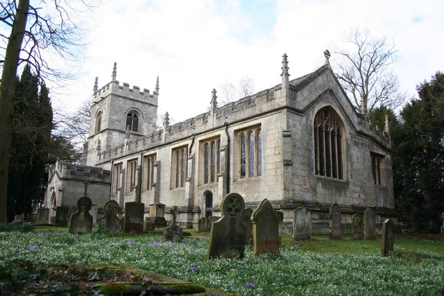
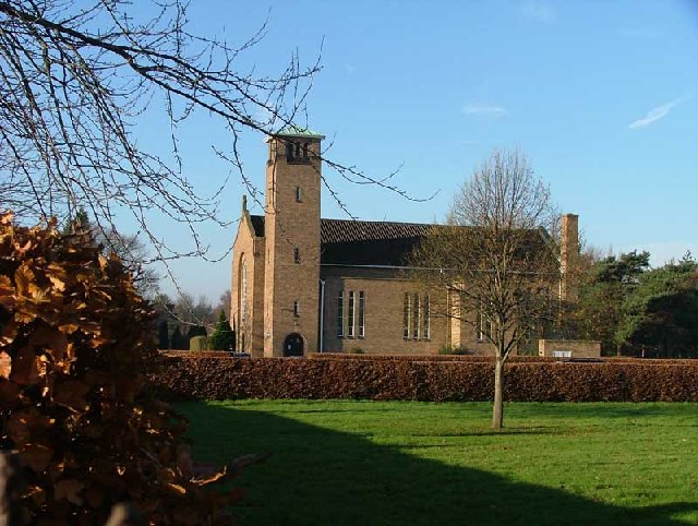
All Saints' Church, Babworth
All Saints' Church, is a Grade I listed parish church in the Church of England in Babworth, Nottinghamshire. == History == The church was built in the...

HM Prison Ranby
HM Prison Ranby is a Category C men's prison, located in the village of Ranby in Nottinghamshire, England. The prison is operated by His Majesty's Prison...
Ordsall Hall School
Ordsall Hall Comprehensive School was a comprehensive school situated on Ordsall Road in the market town of East Retford in the district of Bassetlaw,...
Retford F.C.
Retford Football Club is an English football club based in Retford, Nottinghamshire. They currently play in the Northern Counties East League Division...
Babworth
Babworth is a village and civil parish in the Bassetlaw district of Nottinghamshire, England, about 1½ miles west of Retford. According to the 2001 census...
Retford Oaks Academy
Retford Oaks Academy is a coeducational secondary school and sixth form located in the market town of Retford, Nottinghamshire, England, situated in the...
Idle Valley Nature Reserve
The Idle Valley Nature Reserve, also known as Lound Gravel Pits or Sutton and Lound Gravel Pits, is a wetland Site of Special Scientific Interest (SSSI...

West Retford Hotel
West Retford Hotel in Nottinghamshire is a building of historical significance and is Grade II listed on the English Heritage Register. It was built in...
Nearby Amenities
Located within 500m of 53.324781,-0.98229949Have you been to Bowman Hill?
Leave your review of Bowman Hill below (or comments, questions and feedback).