Nunnery Hill
Hill, Mountain in Hampshire Basingstoke and Deane
England
Nunnery Hill

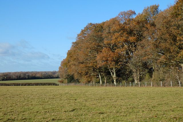
Nunnery Hill is a prominent hill located in the county of Hampshire, England. Situated near the village of Whitchurch, it is part of the North Wessex Downs Area of Outstanding Natural Beauty. Rising to a height of approximately 210 meters (689 feet), Nunnery Hill offers stunning panoramic views of the surrounding countryside.
The hill derives its name from the nearby Nunnery Farm, which was historically associated with a religious order. Evidence suggests that the site was inhabited by nuns during the medieval period, hence the name Nunnery Hill. Today, the farm no longer exists, but the name serves as a reminder of the area's rich history.
Nunnery Hill is a popular destination for outdoor enthusiasts and nature lovers. The hill is covered by a mix of woodland and open grassland, providing a diverse habitat for a variety of flora and fauna. Visitors can enjoy leisurely walks along the footpaths that crisscross the hill, taking in the breathtaking views and immersing themselves in the peaceful surroundings.
The hill also holds archaeological significance, with the remains of an Iron Age hillfort located on its summit. The fort, known as Beacon Hill, is believed to have been constructed around 500 BC and offers insights into the ancient history of the region.
Overall, Nunnery Hill in Hampshire is a picturesque and historically significant location, offering a tranquil escape for those seeking natural beauty and a glimpse into the past.
If you have any feedback on the listing, please let us know in the comments section below.
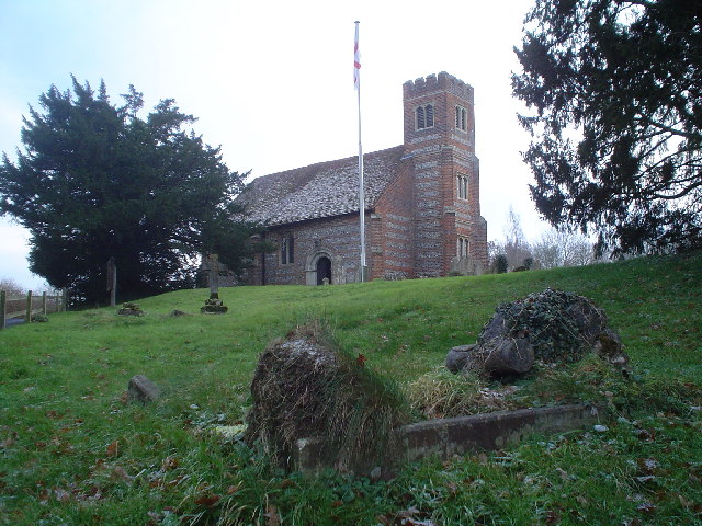
Nunnery Hill Images
Images are sourced within 2km of 51.256955/-1.0293364 or Grid Reference SU6751. Thanks to Geograph Open Source API. All images are credited.


Nunnery Hill is located at Grid Ref: SU6751 (Lat: 51.256955, Lng: -1.0293364)
Administrative County: Hampshire
District: Basingstoke and Deane
Police Authority: Hampshire
What 3 Words
///issues.scare.amuse. Near Old Basing, Hampshire
Nearby Locations
Related Wikis
Mapledurwell
Mapledurwell is a village and former civil parish, now in the parish of Mapledurwell and Up Nately, in the Basingstoke and Deane district, in the county...
Andwell
Andwell is a village and former civil parish, now in the parish of Mapledurwell and Up Nately, in the Basingstoke and Deane district of Hampshire, England...

Old Basing
Old Basing is a village in Hampshire, England, just east of Basingstoke. It was called Basengum in the Anglo-Saxon Chronicle and Basinges in the Domesday...

Battle of Basing
The Battle of Basing was a victory of a Danish Viking army over the West Saxons at the royal estate of Basing in Hampshire on about 22 January 871.In late...
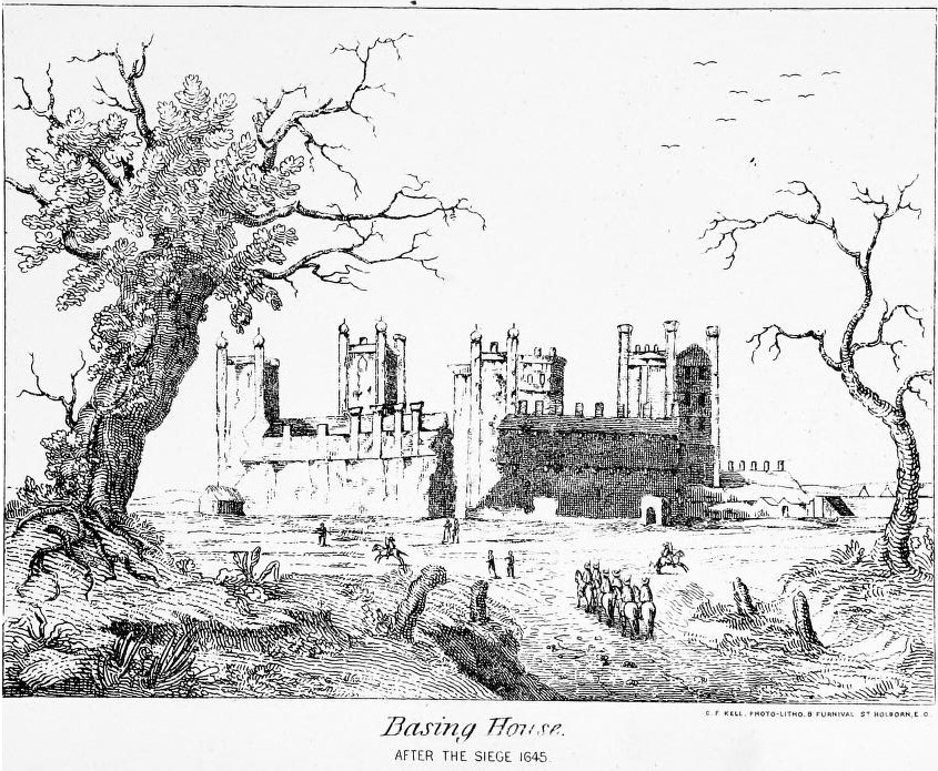
Siege of Basing House
The siege of Basing House near Basingstoke in Hampshire, was a Parliamentarian victory late in the First English Civil War. Whereas the title of the event...
Up Nately
Up Nately is a small village and former civil parish, now in the parish of Mapledurwell and Up Nately, in the Basingstoke and Deane district, in Hampshire...

Basing House
Basing House was a Tudor palace and castle in the village of Old Basing in the English county of Hampshire. It once rivalled Hampton Court Palace in its...
Lychpit
Lychpit is now the name of a modern housing development adjacent to Old Basing near Basingstoke, Hampshire. The modern development started in the early...
Nearby Amenities
Located within 500m of 51.256955,-1.0293364Have you been to Nunnery Hill?
Leave your review of Nunnery Hill below (or comments, questions and feedback).