Church Hill

Hill, Mountain in Nottinghamshire Newark and Sherwood

England

Church Hill

Roadway to North Laiths This is also a public footpath.
Roadway to North Laiths Credit: Jonathan Thacker

Church Hill is a prominent hill located in the county of Nottinghamshire, England. Situated in the small village of Church Hill, it is known for its distinctive shape and scenic beauty. Despite its name, Church Hill is not a mountain but rather a hill that stands at an elevation of approximately 200 meters above sea level.

The hill offers breathtaking panoramic views of the surrounding countryside, making it a popular destination for hikers, nature enthusiasts, and photographers. Its rolling green slopes are adorned with a variety of flora and fauna, creating a haven for wildlife and providing a tranquil escape from the bustling city life.

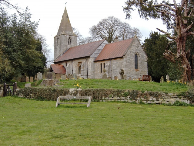
At the summit of Church Hill, visitors can find the remnants of an ancient church, which is said to date back to the medieval period. The church served as a place of worship for the local community until its abandonment in the 17th century. Today, the ruins of the church stand as a testament to the area's rich history and provide an atmospheric backdrop for those exploring the hill.

The hill is easily accessible, with well-maintained footpaths and trails leading to the top. It is a popular spot for walking, jogging, and picnicking, attracting visitors from both near and far. The peaceful and serene ambiance of Church Hill offers a sense of tranquility and a chance to connect with nature.

In summary, Church Hill in Nottinghamshire is a picturesque hill that offers stunning views, historical significance, and a peaceful retreat for visitors seeking a natural escape.

If you have any feedback on the listing, please let us know in the comments section below.
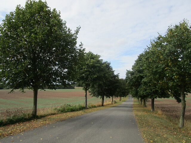
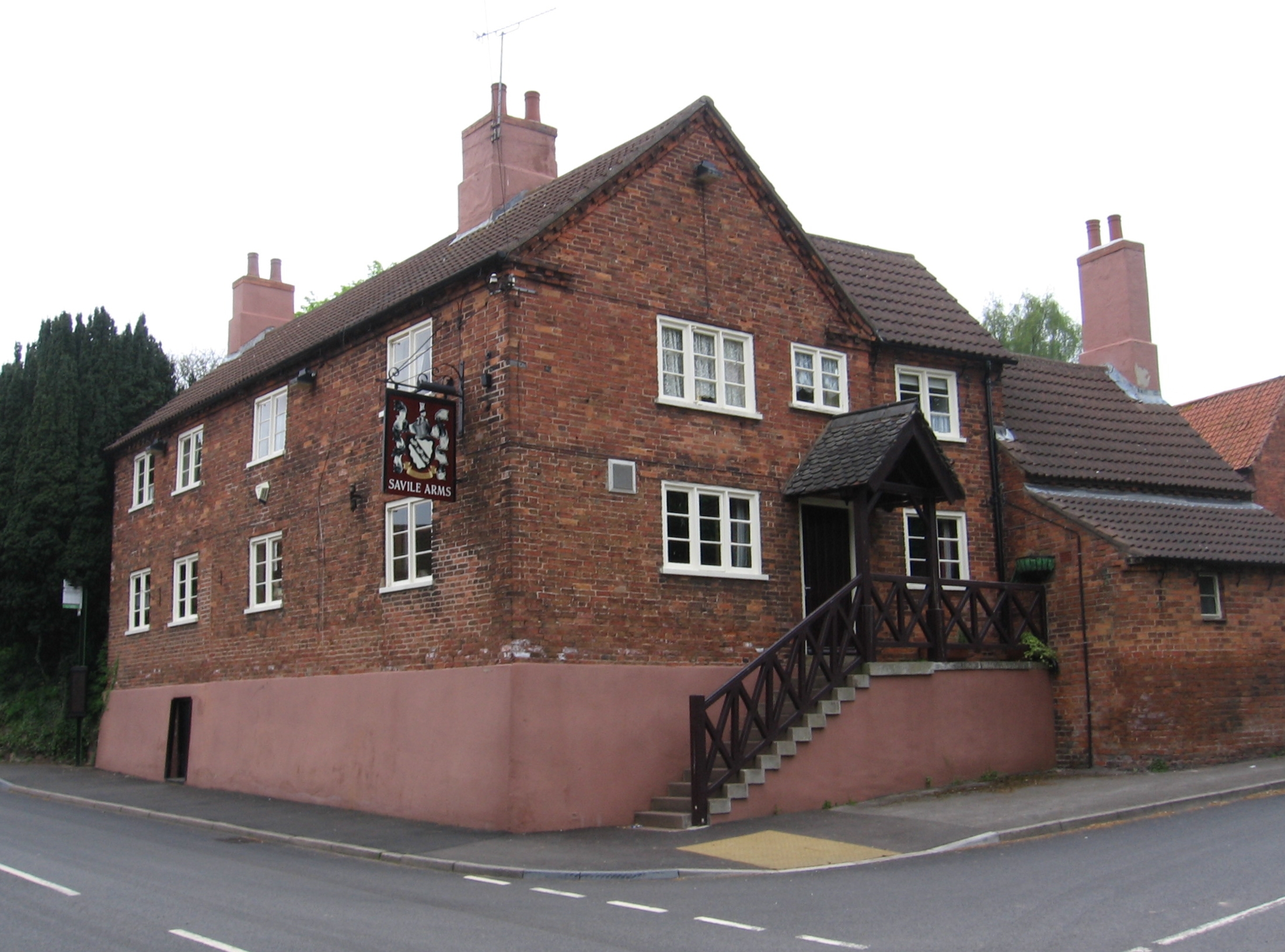
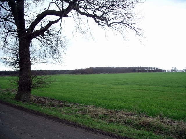
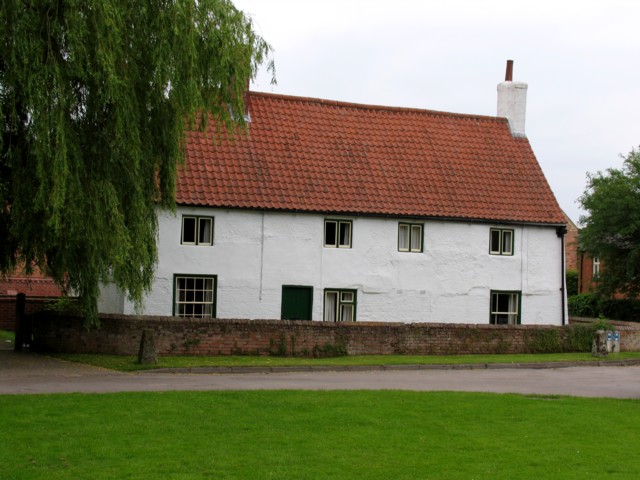
Church Hill Images

Images are sourced within 2km of 53.153481/-0.98732599 or Grid Reference SK6762. Thanks to Geograph Open Source API. All images are credited.

Roadway to North Laiths This is also a public footpath.
Roadway to North Laiths
This is also a public footpath.
Red Hill and Hunger Hills A new house is being built at Hunger Hills (in the centre of the picture).
Red Hill and Hunger Hills
A new house is being built at Hunger Hills (in the centre of the picture).
Roadway from North Laiths This is also a public footpath.
Roadway from North Laiths
This is also a public footpath.
The course of the Mid Nottinghamshire Joint Railway The Mid-Nottinghamshire Joint Railway opened in 1931 and this section closed in 1966. As planned the railway would have run along the spine of Nottinghamshire linking the collieries on the eastern edge of the coalfield with the various main lines. The line was never completed and only really served the colliery at Bilsthorpe (and to a lesser extent that at Ollerton). 
Here the track bed is overgrown and the bridge, which stood at the point from which this photograph was taken, has been infilled.
The course of the Mid Nottinghamshire Joint Railway
The Mid-Nottinghamshire Joint Railway opened in 1931 and this section closed in 1966. As planned the railway would have run along the spine of Nottinghamshire linking the collieries on the eastern edge of the coalfield with the various main lines. The line was never completed and only really served the colliery at Bilsthorpe (and to a lesser extent that at Ollerton). Here the track bed is overgrown and the bridge, which stood at the point from which this photograph was taken, has been infilled.
Stubble field near North Laiths
Gallow Hole Dyke
Gallow Hole Dyke
Nodding Donkey There used to be many of these oil pumps around the Eakring oil field. Now these woods just south of Eakring, Notts are a delightful nature reserve.
Nodding Donkey
There used to be many of these oil pumps around the Eakring oil field. Now these woods just south of Eakring, Notts are a delightful nature reserve.
Mompesson's Memorial William Mompesson helped the village of Eyam in the Great Plague of 1666, then was transferred to Eakring where he preached here, in the open air. He died in Eakring in 1706.
Mompesson's Memorial
William Mompesson helped the village of Eyam in the Great Plague of 1666, then was transferred to Eakring where he preached here, in the open air. He died in Eakring in 1706.
Nodding Donkey, Dukes Wood Nature Reserve Dukes Wood is the site of UK's first onshore oilfield. Between 1939 and 1966 280,000 tons of oil were produced.
Nodding Donkey, Dukes Wood Nature Reserve
Dukes Wood is the site of UK's first onshore oilfield. Between 1939 and 1966 280,000 tons of oil were produced.
Eakring Field Farm viewed south from the road
Eakring Field Farm
viewed south from the road
Tug Bridge Farm on the road to Maplebeck and about 1 Km east of Eakring
Tug Bridge Farm
on the road to Maplebeck and about 1 Km east of Eakring
Eakring Field Farm from the footpath between Maplebeck and Eakring
Eakring Field Farm
from the footpath between Maplebeck and Eakring
St.Andrew's church, Eakring, Notts.
Eakring: Stonish Hill
Entrance to North Laiths
Field Track Ditch This field is skirted by an access track and a drainage ditch.  The wood in the background is Eakring Brail Wood.
Field Track Ditch
This field is skirted by an access track and a drainage ditch. The wood in the background is Eakring Brail Wood.
Building pylons At Eakring training centre Training for tower erection on the Eakring training centre for National Grid. 
Permanent Tower shown beyond.
Building pylons At Eakring training centre
Training for tower erection on the Eakring training centre for National Grid. Permanent Tower shown beyond.
View across the square Almost the whole of the square is visible in this picture, from the southeast corner across to the northwest. In the distance, centre, are the buildings of North Laiths. The course of a dismantled railway crosses the square, but much of it has been incorporated into the farmland.
View across the square
Almost the whole of the square is visible in this picture, from the southeast corner across to the northwest. In the distance, centre, are the buildings of North Laiths. The course of a dismantled railway crosses the square, but much of it has been incorporated into the farmland.
Show me another place!

Church Hill is located at Grid Ref: SK6762 (Lat: 53.153481, Lng: -0.98732599)

Administrative County: Nottinghamshire

District: Newark and Sherwood

Police Authority: Nottinghamshire

What 3 Words

///offstage.grasp.proceeds. Near Bilsthorpe, Nottinghamshire

Nearby Locations

Eakring Church Hill

Related Wikis

Eakring

Eakring is a village and civil parish in the Newark and Sherwood district of Nottinghamshire, England. Its population at the 2011 Census was 419. There...

Bilsthorpe Colliery

Bilsthorpe Colliery was a colliery in north Nottinghamshire. From when work started in 1925 to the pits closure in 1997, 77 people died at the pit. �...

Cratley

Cratley is a lost village in Nottinghamshire, England. It may have been located close to North Laithes Farm at Kneesall although an alternative site east...

Ompton

Ompton is a village in Nottinghamshire, England, three miles south-east of Ollerton. It is in the civil parish of Ompton, but for census purposes its population...

St Bartholomew's Church, Kneesall

St Bartholomew’s Church, Kneesall is a Grade I listed Church of England parish in the Diocese of Southwell and Nottingham in Kneesall. == History == The...

Kneesall

Kneesall is a village and civil parish in the East Midlands of England in the county of Nottinghamshire. The population of the civil parish at the 2011...

Maplebeck

Maplebeck is a village in Nottinghamshire, England. It is located 6 miles north of Southwell, and is part of the civil parish of Winkburn. It is in the...

St Radegund's Church, Maplebeck

St Radegund's Church, Maplebeck is a Grade I listed Church of England parish in the Diocese of Southwell and Nottingham in Maplebeck. == History == The...

Nearby Amenities

Located within 500m of 53.153481,-0.98732599
Eakring
Created By: Potlatch 0.10b
Is In: Nottinghamshire, United Kingdom
Place: village
Wikidata: Q2318484
Lat/Long: 53.1537446/-0.9930074
Post Box
Lat/Long: 53.1506733/-0.993146
Bench
Lat/Long: 53.1525151/-0.9919471
Barrier: stile
Stile: stepover
Lat/Long: 53.1501856/-0.9910617
Bus Stop
Triumph Road
Bus: yes
Naptan AtcoCode: 3300NS0594
Naptan Bearing: SW
Naptan CommonName: Triumph Road
Naptan Crossing: Triumph Road
Naptan Indicator: adj
Naptan NaptanCode: ntsdjdwg
Naptan Notes: BW
Naptan Street: Kirklington Road
Naptan Verified: no
Public Transport: platform
Source: naptan_import
Lat/Long: 53.1507163/-0.9929954
Triumph Road
Naptan AtcoCode: 3300NS0780
Naptan Bearing: NE
Naptan BusStopType: CUS
Naptan CommonName: Triumph Road
Naptan Crossing: Triumph Road
Naptan Indicator: opp
Naptan NaptanCode: ntsgmgwp
Naptan Notes: 3300NS0594
Naptan Street: Kirklington Road
Naptan Verified: no
Source: naptan_import
Lat/Long: 53.1507978/-0.9930682
Bench
Ele: 63.0000000
Lat/Long: 53.1500927/-0.9908364
Ele: 60.0000000
Information: board
Tourism: information
Lat/Long: 53.1524666/-0.9919495
Bench
Ele: 56.0000000
Lat/Long: 53.153564/-0.9925604
Telephone
Defibrillator
Booth: K6
Covered: booth
Defibrillator Location: inside red phone box, Main Street, Eakring
Emergency: defibrillator
Man Made: telephone_box
Lat/Long: 53.1535153/-0.9924824
Man Made: flagpole
Lat/Long: 53.1526005/-0.9919956
The data included in this document is from www.openstreetmap.org. The data is made available under ODbL.

Have you been to Church Hill?

Leave your review of Church Hill below (or comments, questions and feedback).