Kingswood

Settlement in Warwickshire Warwick

England

Kingswood

Tom O'The Wood country pub and restaurant
Tom O'The Wood country pub and restaurant Credit: Mark Percy

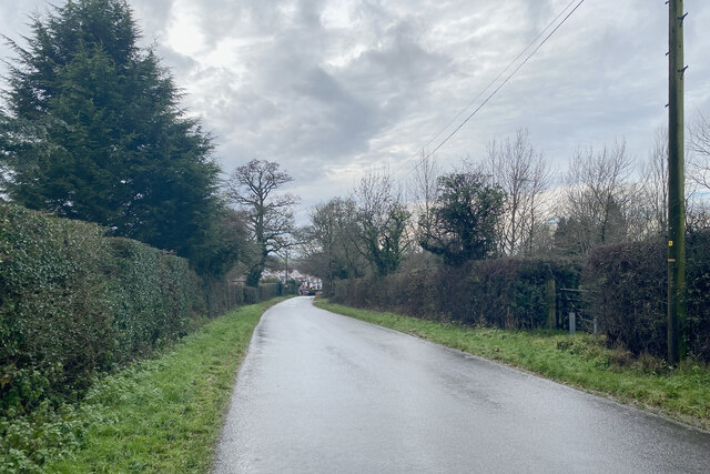
Kingswood is a small village located in the county of Warwickshire, England. Situated approximately 5 miles south of the town of Warwick, it falls within the district of Stratford-on-Avon. The village is surrounded by picturesque countryside and offers a peaceful and rural setting.

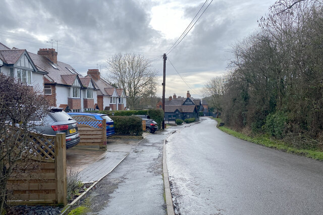
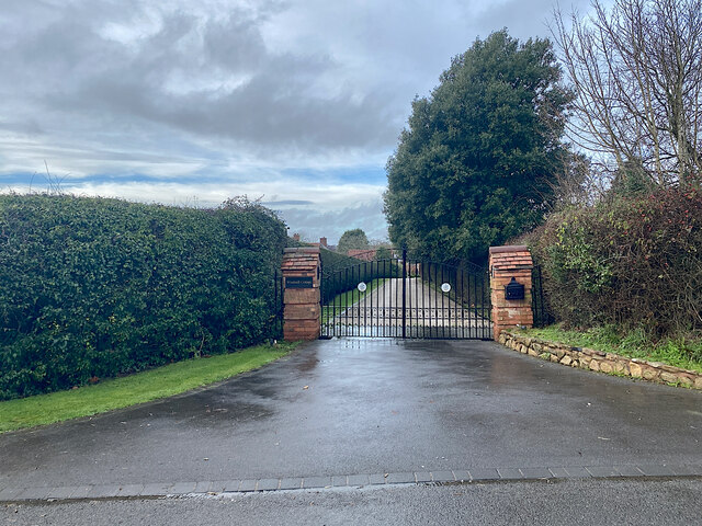
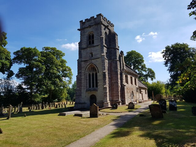
The origins of Kingswood date back to the medieval period, and the village still retains much of its historic charm. It is primarily a residential area, with a close-knit community of around 500 residents. The houses in Kingswood are predominantly traditional cottages and country homes, giving the village a quintessentially English feel.

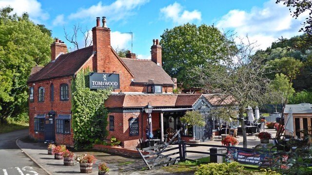
Despite its small size, Kingswood benefits from several amenities. These include a village hall, a local pub, and a primary school, providing essential services for residents. In addition, the nearby town of Warwick offers a wide range of shopping, dining, and leisure options, ensuring that residents have access to all necessary facilities.

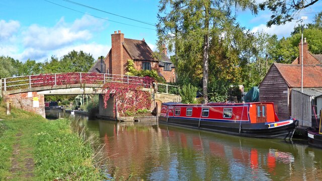
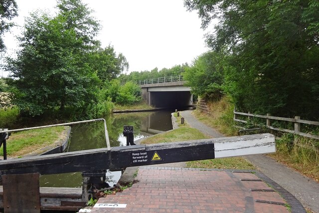
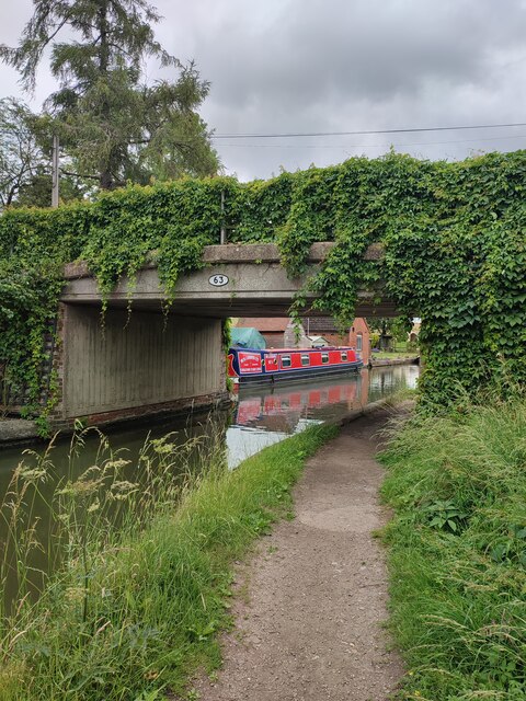
The surrounding countryside offers ample opportunities for outdoor activities such as walking, cycling, and horse riding. The village is also conveniently located near the historic Warwick Castle, a popular tourist attraction, as well as the Cotswolds Area of Outstanding Natural Beauty.

Kingswood enjoys good transport links, with the A4177 road running through the village, connecting it to nearby towns and cities. The closest railway station is Warwick Parkway, providing convenient access to Birmingham, London, and other major cities.

Overall, Kingswood is a charming village with a rich history, a strong sense of community, and easy access to both rural and urban amenities.

If you have any feedback on the listing, please let us know in the comments section below.
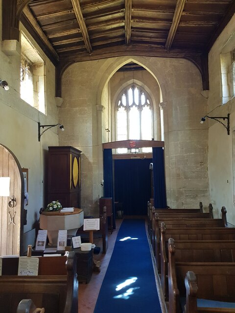
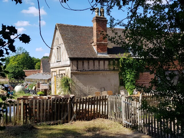
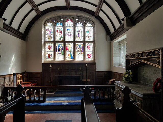
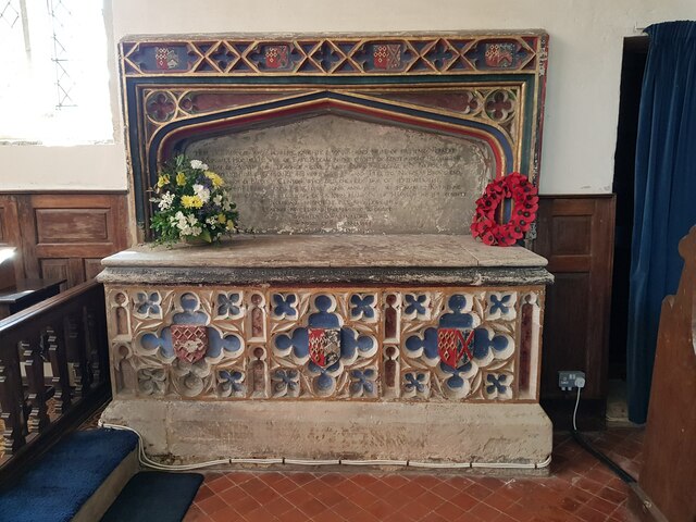
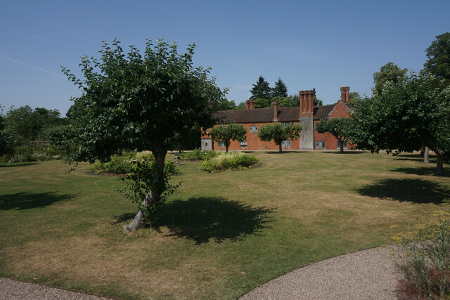
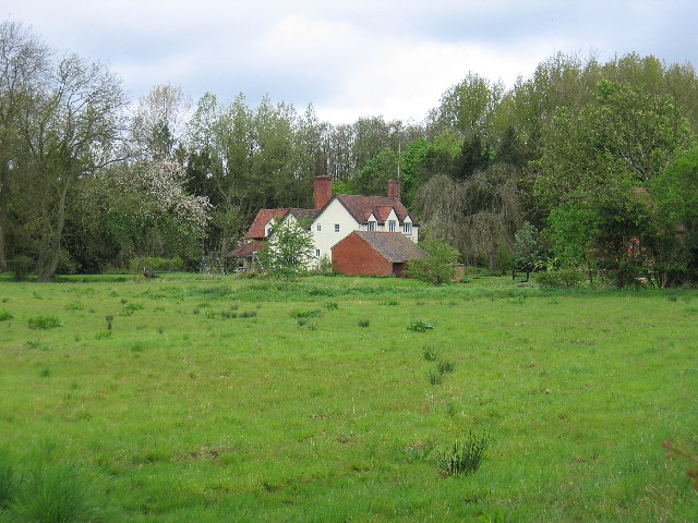
Kingswood Images

Images are sourced within 2km of 52.340692/-1.727542 or Grid Reference SP1871. Thanks to Geograph Open Source API. All images are credited.

Tom O'The Wood country pub and restaurant
Grand Union Canal at Turner's Green
Kingswood-Stratford Canal M40 Motorway Bridge.
Kingswood-Stratford Canal
M40 Motorway Bridge.
Approaching Turner's Green Finwood Road drops down into the canalside hamlet.
Approaching Turner's Green
Finwood Road drops down into the canalside hamlet.
Southwest on Finwod Road Finwood Road turns south from the Old Warwick Road for Turner's Green, ahead, and Lowsonford.
Southwest on Finwod Road
Finwood Road turns south from the Old Warwick Road for Turner's Green, ahead, and Lowsonford.
Gates to Windmill Cottage, Turner's Green An entrance on Finwood Road. Old maps show Windmill House here and a circular feature where a windmill  might have been. This is the same relatively high ground as the Rowington Mill site <a href="https://www.geograph.org.uk/photo/7378320">SP2070 : Rowington Mill, Rowington Green</a>.
Gates to Windmill Cottage, Turner's Green
An entrance on Finwood Road. Old maps show Windmill House here and a circular feature where a windmill might have been. This is the same relatively high ground as the Rowington Mill site SP2070 : Rowington Mill, Rowington Green.
Turner's Green Bridge
St Michael's, Baddesley Clinton, Warwickshire  Next to but not part of the National Trust property.
St Michael's, Baddesley Clinton, Warwickshire
Next to but not part of the National Trust property.
St Michael's Church, Baddesley Clinton (interior 1)
The Cottage, Baddesley Clinton
St Michael's Church, Baddesley Clinton (interior 2)
Tomb for Sir Edward Ferrers and family In St Michael's Church, Baddesley Clinton. The family owned Baddesley Clinton for generations.
Tomb for Sir Edward Ferrers and family
In St Michael's Church, Baddesley Clinton. The family owned Baddesley Clinton for generations.
The Ferrer's memorial in St Michael's Church, Baddesley Clinton
Mini organ, St Michael's Church, Baddesley Clinton
Cottage and barn, Baddesley Clinton
Wildflowers in the walled garden, Baddesley Clinton This flower bed used to be full of Dahlias <a href="https://www.geograph.org.uk/photo/4132107">SP1971 : Baddesley Clinton Garden</a> but pests in the soil has made it impossible to grow them. Attempts to convert to natural flowers is proving problematic with one species dominating.
Wildflowers in the walled garden, Baddesley Clinton
This flower bed used to be full of Dahlias SP1971 : Baddesley Clinton Garden but pests in the soil has made it impossible to grow them. Attempts to convert to natural flowers is proving problematic with one species dominating.
Baddesley Clinton stables upper windows On the other side of the turret is a clock that needs restoration.
Baddesley Clinton stables upper windows
On the other side of the turret is a clock that needs restoration.
Lawn at Baddesley Clinton The lawn at this National Trust property is suffering a bit in the hot and dry weather.
Lawn at Baddesley Clinton
The lawn at this National Trust property is suffering a bit in the hot and dry weather.
Show me another place!

Kingswood is located at Grid Ref: SP1871 (Lat: 52.340692, Lng: -1.727542)

Administrative County: Warwickshire

District: Warwick

Police Authority: Warwickshire

What 3 Words

///compelled.puts.hurricane. Near Hockley Heath, West Midlands

Nearby Locations

Kingswood

Related Wikis

Nearby Amenities

Located within 500m of 52.340692,-1.727542
Lapworth
Naptan AtcoCode: 9100LAPWRTH
Network: National Rail
Network Website: https://www.nationalrail.co.uk/stations/lpw/
Network Wikidata: Q26334
Public Transport: station
Railway: station
Ref Crs: LPW
Wikidata: Q1904720
Wikipedia: en:Lapworth railway station
Lat/Long: 52.3417839/-1.7257883
Seamark Type: gate
Waterway: lock_gate
Lat/Long: 52.3367449/-1.7277353
Parking
Created By: Potlatch 0.10f
Lat/Long: 52.3368958/-1.7283391
Toilets
Source: survey
Lat/Long: 52.3367469/-1.7284926
Water Point
Lapworth Lock 19 Water Point
Access: permissive
Centralkey: no
Drinking Water: yes
Fee: no
Man Made: water_tap
Operator: Canal and River Trust
Waterway: water_point
Lat/Long: 52.3371775/-1.727895
Seamark Type: gate
Waterway: lock_gate
Lat/Long: 52.3376017/-1.727969
Bus Stop
Station Lane
Bus: yes
Naptan AtcoCode: 4200F034100
Naptan Bearing: W
Naptan CommonName: Station Lane
Naptan Crossing: Station Lane
Naptan Indicator: Opp
Naptan NaptanCode: waratatg
Naptan Street: Old Warwick Road
Naptan Verified: no
Public Transport: platform
Source: naptan_import
Lat/Long: 52.3373286/-1.7256116
Bus Stop
Station Lane
Bus: yes
Naptan AtcoCode: 4200F034200
Naptan Bearing: E
Naptan CommonName: Station Lane
Naptan Crossing: Station Lane
Naptan Indicator: Adj
Naptan NaptanCode: waratatj
Naptan Street: Old Warwick Road
Naptan Verified: no
Public Transport: platform
Source: naptan_import
Lat/Long: 52.337471/-1.7249796
Railway Station
Naptan AtcoCode: 4200F122470
Naptan Bearing: N
Naptan BusStopType: CUS
Naptan CommonName: Railway Station
Naptan Indicator: Adj
Naptan Landmark: Railway Station
Naptan NaptanCode: wardajtw
Naptan Street: Station Road
Naptan Verified: no
Source: naptan_import
Lat/Long: 52.3422073/-1.7253906
Railway Station
Naptan AtcoCode: 4200F122471
Naptan Bearing: S
Naptan BusStopType: CUS
Naptan CommonName: Railway Station
Naptan Indicator: Opp
Naptan Landmark: Railway Station
Naptan NaptanCode: wardajwa
Naptan Street: Station Road
Naptan Verified: no
Source: naptan_import
Lat/Long: 52.3422242/-1.7252933
Bus Stop
Brome Hall Lane
Bus: yes
Naptan AtcoCode: 4200F171000
Naptan Bearing: W
Naptan CommonName: Brome Hall Lane
Naptan Crossing: Brome Hall Lane
Naptan Indicator: Adj
Naptan NaptanCode: wardgmda
Naptan Street: Old Warwick Road
Naptan Verified: no
Public Transport: platform
Source: naptan_import
Lat/Long: 52.3374895/-1.7291332
Seamark Type: gate
Waterway: lock_gate
Lat/Long: 52.3386942/-1.7306269
Seamark Type: gate
Waterway: lock_gate
Lat/Long: 52.3386495/-1.7295405
Seamark Type: gate
Waterway: lock_gate
Lat/Long: 52.3383233/-1.7286675
Seamark Type: gate
Waterway: lock_gate
Lat/Long: 52.3378064/-1.7280815
Give Way
Direction: forward
Source: Warwicks CC Aeriaal Imagery 2013
Lat/Long: 52.3377136/-1.7250985
Maxheight: 3.8
Source: Warwicks OpenData
Lat/Long: 52.3374105/-1.7263115
Seamark Type: gate
Waterway: lock_gate
Lat/Long: 52.3365297/-1.7277494
Seamark Type: gate
Waterway: lock_gate
Lat/Long: 52.3384433/-1.7289503
Seamark Type: gate
Waterway: lock_gate
Lat/Long: 52.3386818/-1.7309611
Seamark Type: gate
Waterway: lock_gate
Lat/Long: 52.3386977/-1.7298831
Post Box
Brand: Royal Mail
Brand Wikidata: Q638098
Brand Wikipedia: en:Royal Mail
Collection Times: Mo-Fr 17:15; Sa 08:15
Operator: Royal Mail
Operator Wikidata: Q638098
Post Box Type: lamp
Ref: B94 170
Royal Cypher: EIIR
Royal Cypher Wikidata: Q33102113
Source: survey
Lat/Long: 52.3373414/-1.724394
Post Office
Lapworth Post Office
Addr City: Solihull
Addr Housenumber: 2
Addr Postcode: B94 6LU
Addr Street: Old Warwick Road
Addr Village: Lapworth
Brand: Post Office
Brand Wikidata: Q1783168
Note: inside Lapworth Wines
Opening Hours: Mo 09:00-18:30; Tu-Fr 09:00-18:00; Sa 09:00-12:30
Ref Pol Id: 11883
Website: https://www.postoffice.co.uk/branch-finder/2962462/lapworth
Lat/Long: 52.3374173/-1.7240366
Post Box
Collection Times: Mo-Fr 09:00; Sa 07:00
Operator: Royal Mail
Operator Wikidata: Q638098
Post Box Type: pillar
Ref: B94 272D
Royal Cypher: EIIR
Royal Cypher Wikidata: Q33102113
Source: survey
Lat/Long: 52.3381659/-1.7321238
Give Way
Direction: forward
Source: Warwicks CC Aeriaal Imagery 2013
Lat/Long: 52.3373848/-1.7251952
Give Way
Direction: backward
Source: Warwicks CC Aeriaal Imagery 2013
Lat/Long: 52.3381424/-1.7249318
Booth: K6
Covered: booth
Disused Amenity: telephone
Man Made: telephone_box
Note: phone has been removed
Old Phone: +44 1564 782348
Source: survey
Lat/Long: 52.3419645/-1.7255872
Post Box
Brand: Royal Mail
Brand Wikidata: Q638098
Brand Wikipedia: en:Royal Mail
Collection Times: Mo-Fr 09:00; Sa 07:00
Operator: Royal Mail
Operator Wikidata: Q638098
Post Box Type: pillar
Ref: B94 1251D
Royal Cypher: EIIR
Royal Cypher Wikidata: Q33102113
Source: survey
Lat/Long: 52.3419546/-1.7255336
Defibrillator
Access: yes
Defibrillator Location: outside Lapworth Village Hall - to left of entrance
Emergency: defibrillator
Indoor: no
Lat/Long: 52.3374453/-1.7301672
Generator Method: photovoltaic
Generator Output Electricity: yes
Generator Source: solar
Generator Type: solar_photovoltaic_panel
Location: roof
Power: generator
Lat/Long: 52.3365412/-1.7292631
Generator Method: photovoltaic
Generator Output Electricity: yes
Generator Source: solar
Generator Type: solar_photovoltaic_panel
Location: roof
Power: generator
Lat/Long: 52.3370706/-1.7298304
Generator Method: photovoltaic
Generator Output Electricity: yes
Generator Source: solar
Generator Type: solar_photovoltaic_panel
Location: roof
Power: generator
Lat/Long: 52.3378064/-1.7299001
Generator Method: photovoltaic
Generator Output Electricity: yes
Generator Source: solar
Generator Type: solar_photovoltaic_panel
Location: roof
Power: generator
Lat/Long: 52.3378015/-1.7298029
Generator Method: photovoltaic
Generator Output Electricity: yes
Generator Source: solar
Generator Type: solar_photovoltaic_panel
Location: roof
Power: generator
Lat/Long: 52.3378396/-1.7296781
Generator Method: photovoltaic
Generator Output Electricity: yes
Generator Source: solar
Generator Type: solar_photovoltaic_panel
Location: roof
Power: generator
Lat/Long: 52.3378339/-1.7295829
Generator Method: photovoltaic
Generator Output Electricity: yes
Generator Source: solar
Generator Type: solar_photovoltaic_panel
Location: roof
Power: generator
Lat/Long: 52.3378408/-1.729479
Generator Method: photovoltaic
Generator Output Electricity: yes
Generator Source: solar
Generator Type: solar_photovoltaic_panel
Location: roof
Power: generator
Lat/Long: 52.3378367/-1.7293804
Generator Method: photovoltaic
Generator Output Electricity: yes
Generator Source: solar
Generator Type: solar_photovoltaic_panel
Location: roof
Power: generator
Lat/Long: 52.337824/-1.7292872
Generator Method: photovoltaic
Generator Output Electricity: yes
Generator Source: solar
Generator Type: solar_photovoltaic_panel
Location: roof
Power: generator
Lat/Long: 52.3378224/-1.7292
Give Way
Source: bing
Lat/Long: 52.3380899/-1.7318715
Generator Method: photovoltaic
Generator Output Electricity: yes
Generator Source: solar
Generator Type: solar_photovoltaic_panel
Location: roof
Power: generator
Lat/Long: 52.3376925/-1.7291732
Generator Method: photovoltaic
Generator Output Electricity: yes
Generator Source: solar
Generator Type: solar_photovoltaic_panel
Location: roof
Power: generator
Lat/Long: 52.3377466/-1.7291585
Bicycle Parking
Bicycle Parking: stands
Capacity: 16
Covered: no
Lat/Long: 52.3418153/-1.7256477
Quietwys Mill La. 11kV
Power: pole
Ref: 720280
Source: wpd_opendata
Transformer: distribution
Lat/Long: 52.3429013/-1.7317508
Power: pole
Source: bing
Lat/Long: 52.3427882/-1.7331402
Power: pole
Source: bing
Lat/Long: 52.3380695/-1.7269135
Power: pole
Source: bing
Lat/Long: 52.3384431/-1.7279568
Power: pole
Source: bing
Lat/Long: 52.3388512/-1.729086
Power: pole
Source: bing
Lat/Long: 52.3392576/-1.7302233
Power: pole
Source: bing
Lat/Long: 52.3400786/-1.7325515
Power: pole
Source: bing
Lat/Long: 52.3406374/-1.7333964
Power: pole
Source: bing
Lat/Long: 52.3412175/-1.7342842
Power: pole
Ref: 720190
Source: wpd_opendata
Transformer: distribution
Lat/Long: 52.3363618/-1.7285121
Bus: yes
Public Transport: stop_position
Lat/Long: 52.3422278/-1.7253417
Water Point
Access: permissive
Drinking Water: yes
Fee: no
Man Made: tap
Operator: Canal and River Trust
Waterway: water_point
Lat/Long: 52.3363591/-1.7278946
Entrance: yes
Lat/Long: 52.3374471/-1.7301758
Hot Hair
Addr City: Kingswood
Addr Street: Old Warwick Road
Phone: +44 1564 783495
Shop: hairdresser
Source: survey
Lat/Long: 52.3374644/-1.7241518
Lapworth Wines
Addr City: Kingswood
Addr Street: Old Warwick Road
Shop: wine
Lat/Long: 52.3374314/-1.7240568
Bench
Backrest: yes
Material: wood
Source: survey
Lat/Long: 52.3386499/-1.7301425
The data included in this document is from www.openstreetmap.org. The data is made available under ODbL.

Have you been to Kingswood?

Leave your review of Kingswood below (or comments, questions and feedback).