Kingswood
Settlement in Somerset Somerset West and Taunton
England
Kingswood
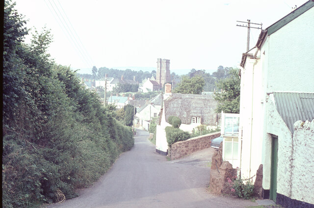
Kingswood is a charming village located in the county of Somerset, England. Situated approximately 10 miles south-west of Bath, it is nestled within the stunning countryside of the Mendip Hills. With a population of around 1,500 residents, Kingswood is a close-knit community that offers a tranquil and picturesque setting.
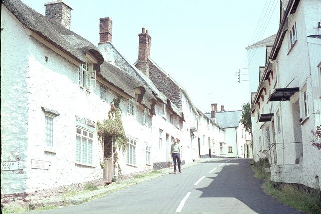
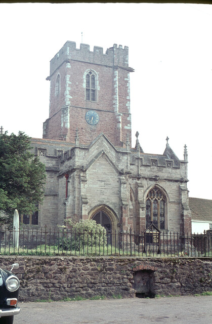
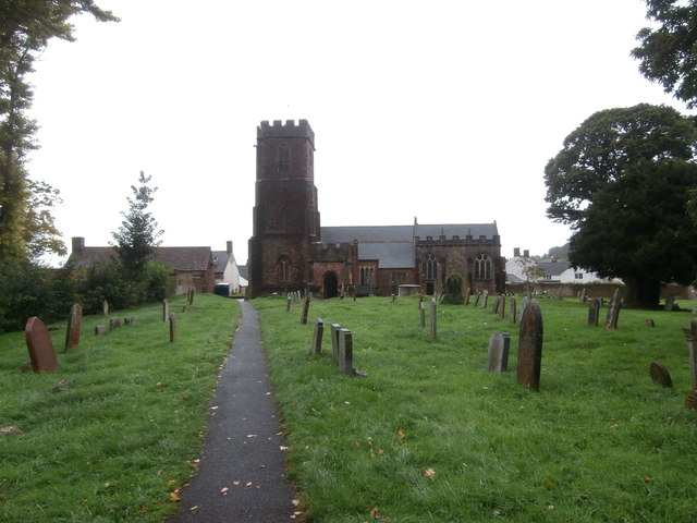
The village itself boasts a rich history, dating back to the 12th century. Many of the buildings in Kingswood display traditional architecture, with quaint thatched roofs and stone walls, giving it a timeless feel. The centerpiece of the village is the beautiful St. Mary's Church, which dates back to the 13th century and is known for its impressive stained glass windows.
Amenities in Kingswood include a local pub, The Kings Arms, which provides a warm and friendly atmosphere for residents and visitors alike. The village also has a primary school, providing education for children in the area.
Nature lovers will find themselves in paradise in Kingswood, as the surrounding area offers numerous opportunities for outdoor activities. The Mendip Hills, a designated Area of Outstanding Natural Beauty, provide stunning landscapes for hiking, biking, and horse riding. Cheddar Gorge, a short drive away, is a popular tourist destination known for its impressive limestone cliffs and caves.
Overall, Kingswood, Somerset is a delightful village that combines a rich historical heritage with breathtaking natural beauty. It offers a peaceful and idyllic lifestyle, making it an ideal place to escape the hustle and bustle of city life.
If you have any feedback on the listing, please let us know in the comments section below.
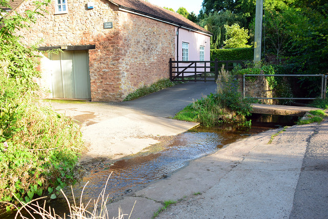
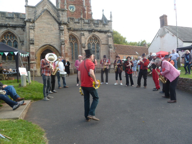
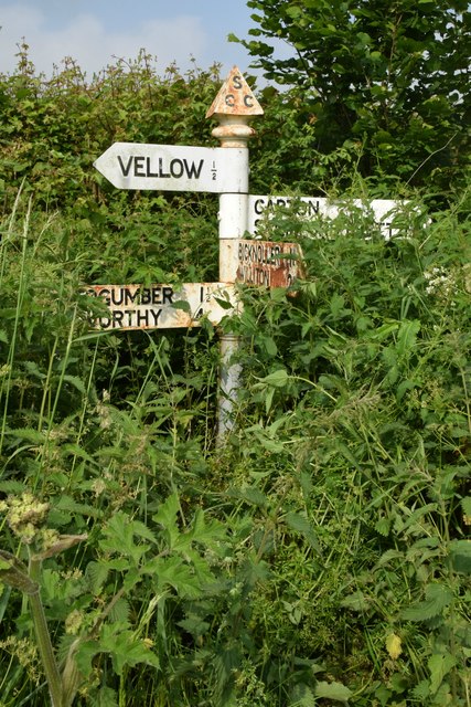
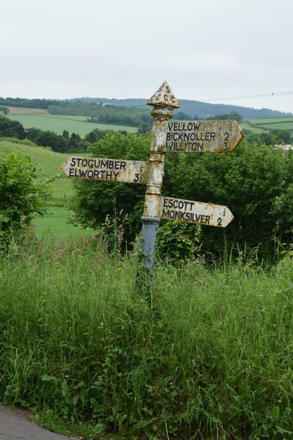
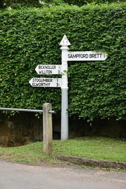
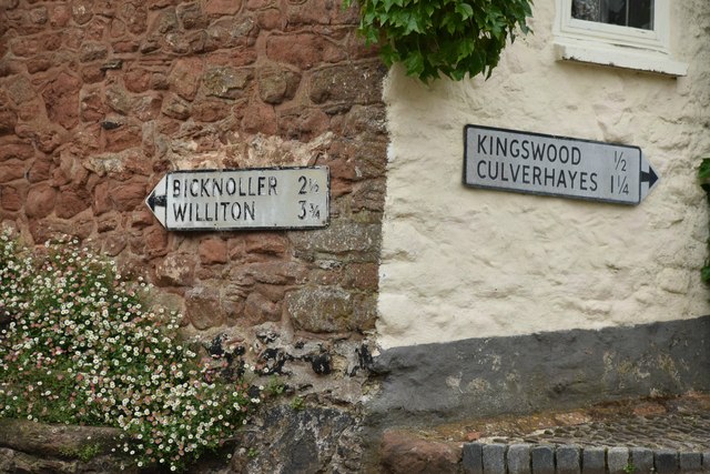
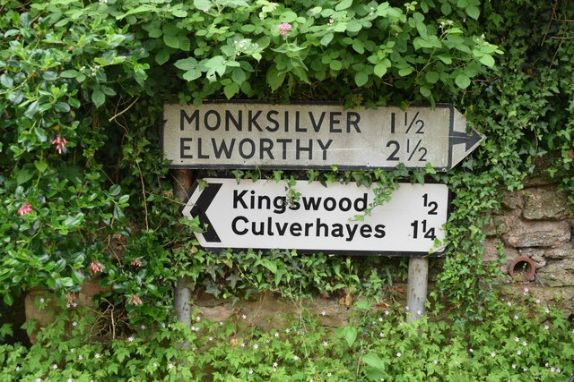
Kingswood Images
Images are sourced within 2km of 51.132401/-3.280534 or Grid Reference ST1037. Thanks to Geograph Open Source API. All images are credited.


Kingswood is located at Grid Ref: ST1037 (Lat: 51.132401, Lng: -3.280534)
Administrative County: Somerset
District: Somerset West and Taunton
Police Authority: Avon and Somerset
What 3 Words
///deprive.trifling.fingernails. Near Williton, Somerset
Nearby Locations
Related Wikis

Curdon Camp
Curdon Camp is a univallate Iron Age hill fort in the West Somerset district of Somerset, England. It is a Scheduled Ancient Monument.The hill fort is...

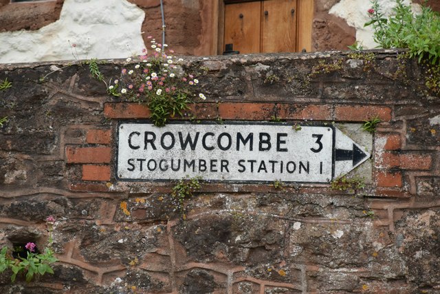
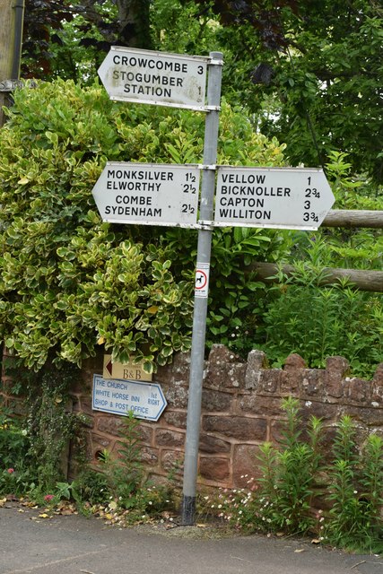
Stogumber railway station
Stogumber railway station is a station in Kingswood, Somerset, England which serves the nearby village of Stogumber. It was opened by the West Somerset...

Stogumber
Stogumber () is a village and civil parish in Somerset, England, on the eastern flank of the Brendon Hills. Besides Stogumber village itself, the parish...

Bicknoller
Bicknoller is a village and civil parish on the western slopes of the Quantock Hills in the English county of Somerset. Administratively, the civil parish...
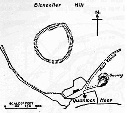
Trendle Ring
Trendle Ring (or Trundle Ring) is a late prehistoric earthwork on the Quantock Hills near Bicknoller in Somerset, England. It is a Scheduled Monument....

Bridgwater and West Somerset (UK Parliament constituency)
Bridgwater and West Somerset is a constituency represented in the House of Commons of the UK Parliament since 2010 by Ian Liddell-Grainger, a Conservative...

Halsway Manor
Halsway Manor (also known as Halsway Court) is a manor house in Halsway, Somerset. It is owned by the Halsway Manor Society who operate the manor as a...
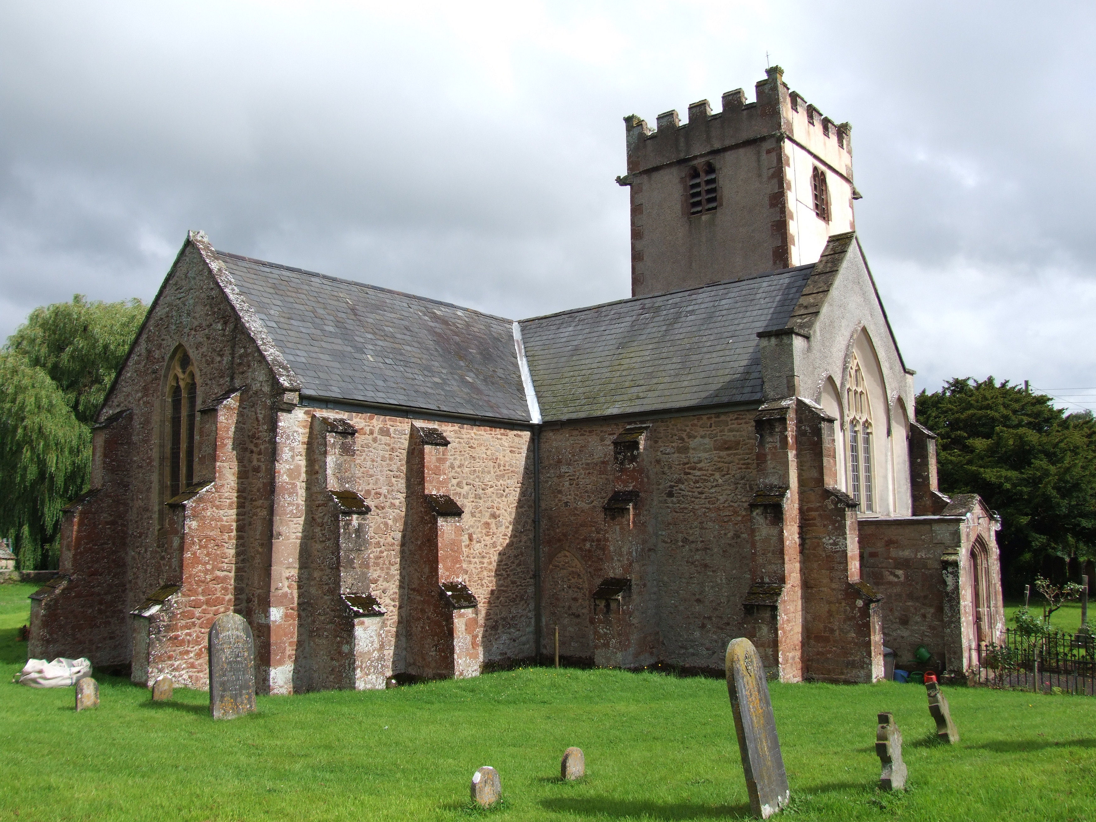
Church of St George, Sampford Brett
The Anglican Church of St George in Sampford Brett, Somerset, England was built around 1300. It is a Grade II* listed building. == History == The parish...
Nearby Amenities
Located within 500m of 51.132401,-3.280534Have you been to Kingswood?
Leave your review of Kingswood below (or comments, questions and feedback).